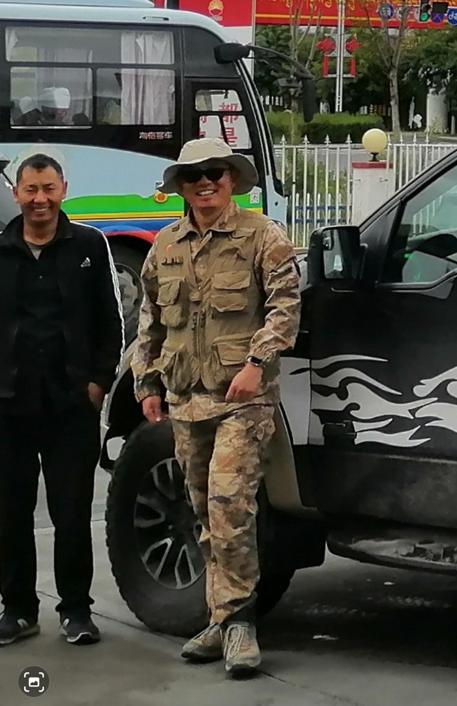
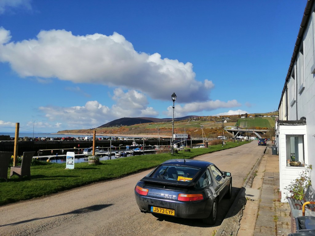
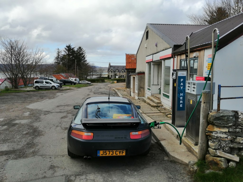
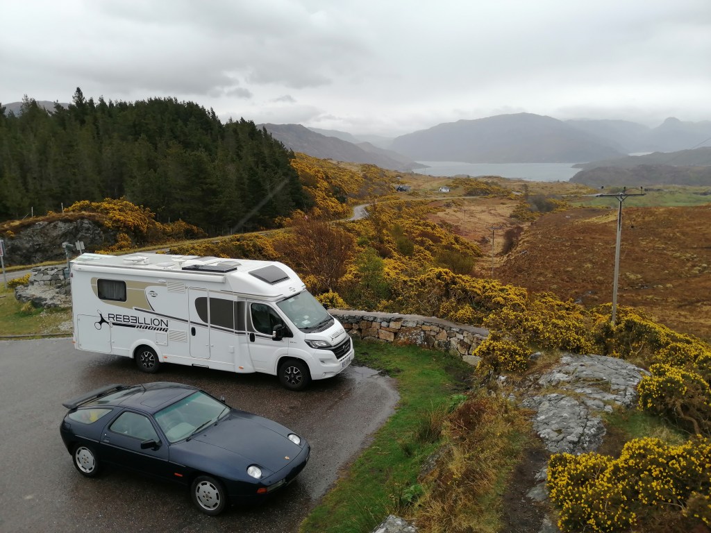
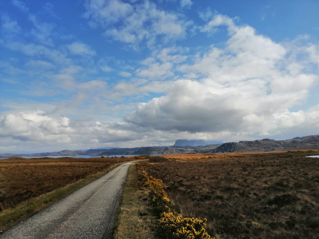
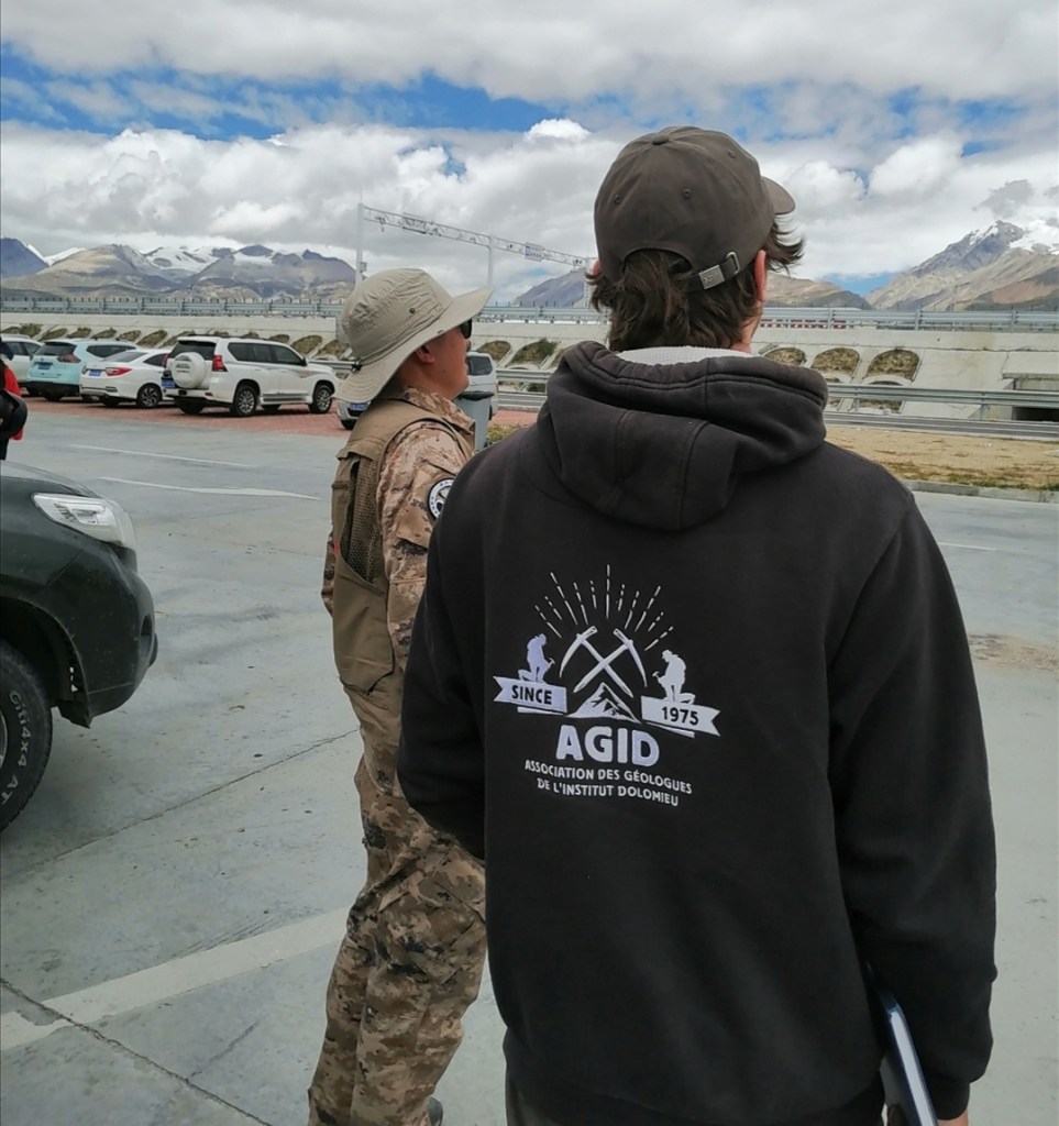
An exciting trip is coming up! I will try to provide updates here… We have been invited by Zhongpeng Han (China University of Geosciences Beijing – CUGB) to join a trip to Tibet! The aim is to scope for projects on the development of past and modern river systems in relation to tectonics. Zhongpeng has a lot of expertise working there, and two PhD students whose projects are related to the sort of work Hugh Sinclair and I do, Xinhang Wang and Yalige Bai. Eliot Weir and Darwin Sinclair are joining too.
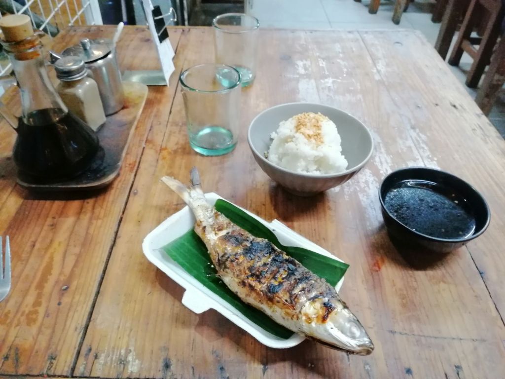
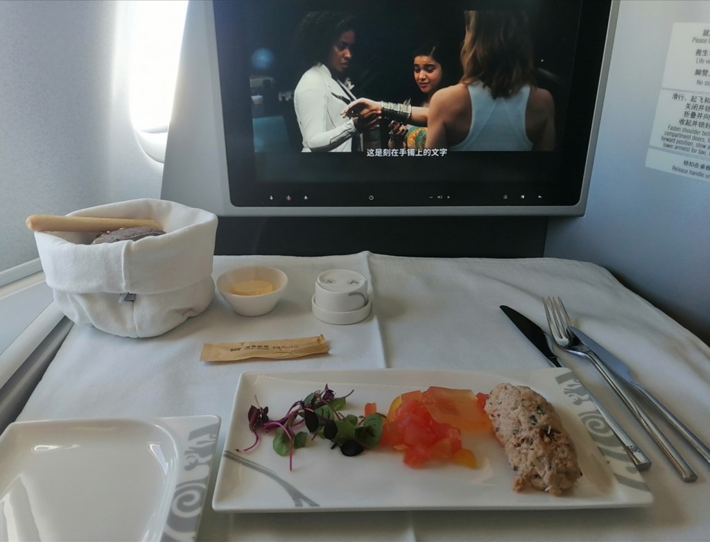
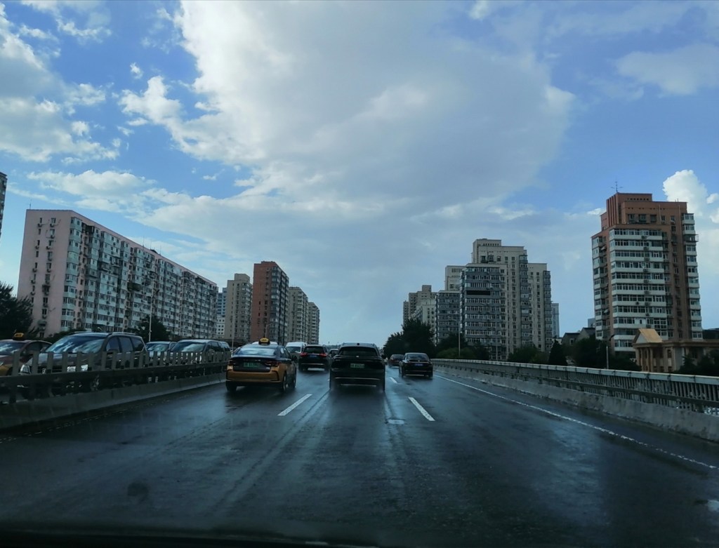
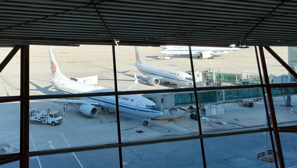
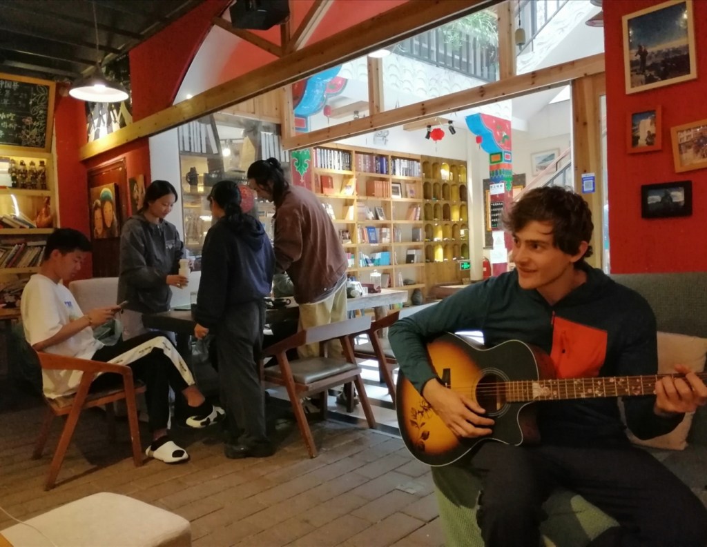
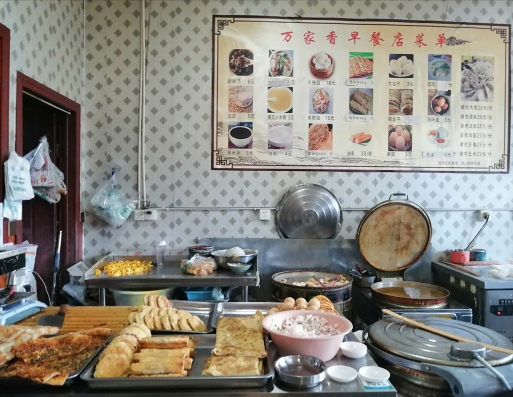
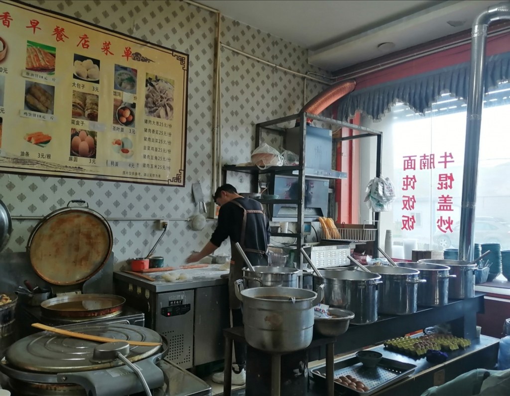
9-10th August: travel to Beijing. We fly direct with Hainan Airlines. Hugh and I even have an incredible business class experience! Zhongpeng, Xinhang and Yalige pick us up at the airport and take us to our hotel at CUGB. We have breakfast, a bit of rest, then a massive lunch, a surprisingly good coffee in a wee shop, and do a bit of sightseeing in the afternoon… Trying to stay awake is our challenge today! It’s very hot, and the afternoon ends with a thunderstorm. Seafood dinner is lovely.


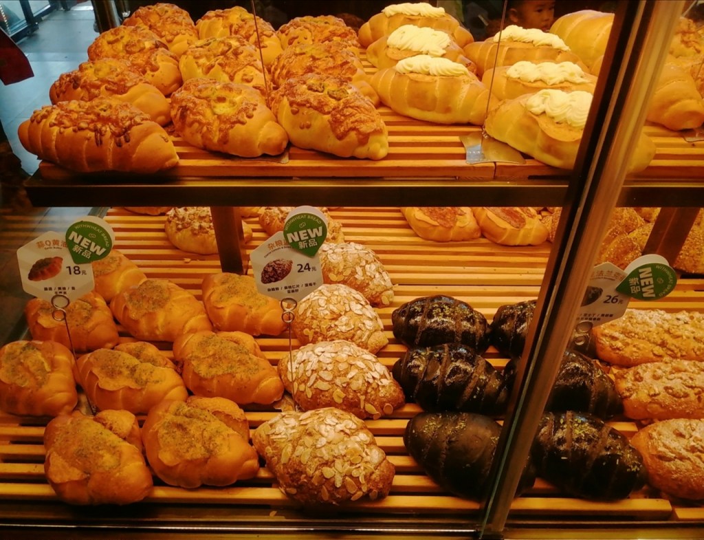
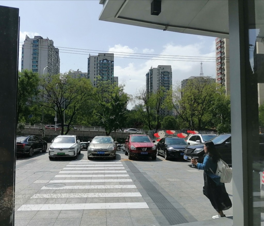


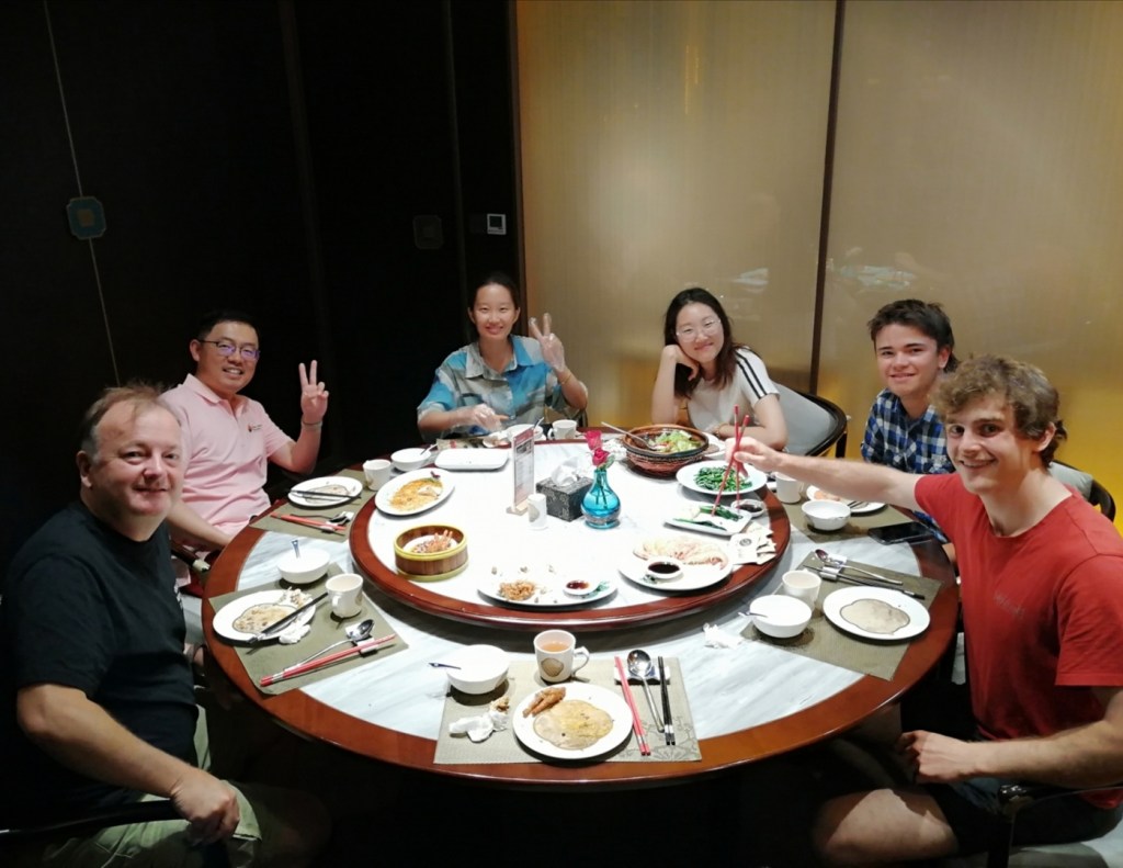
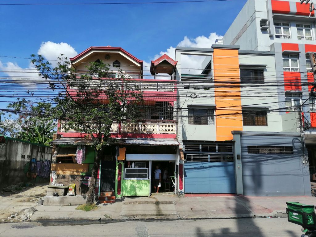
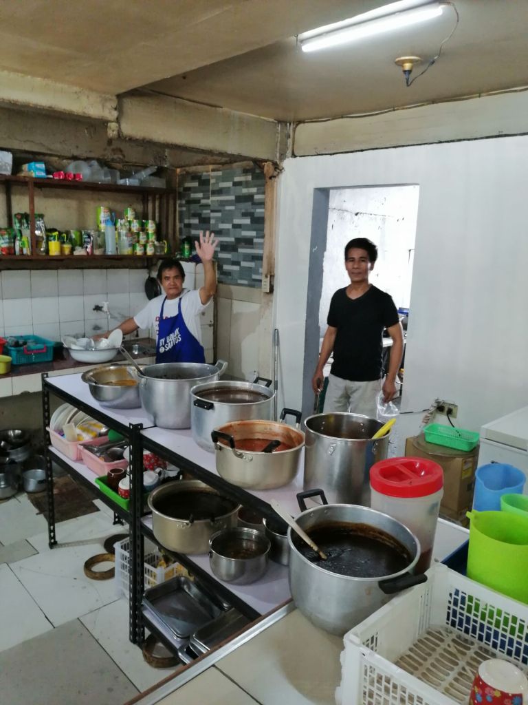
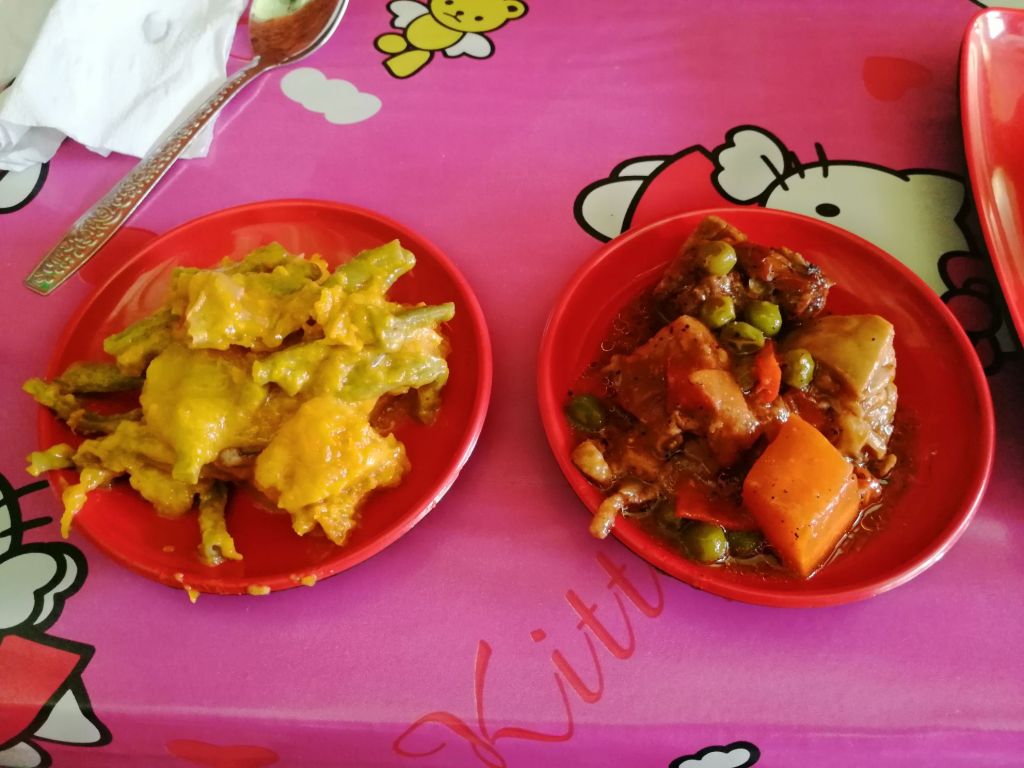
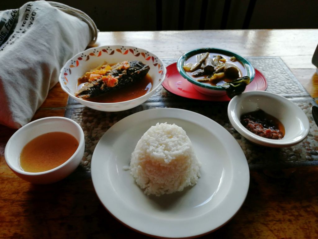
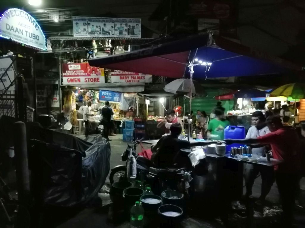
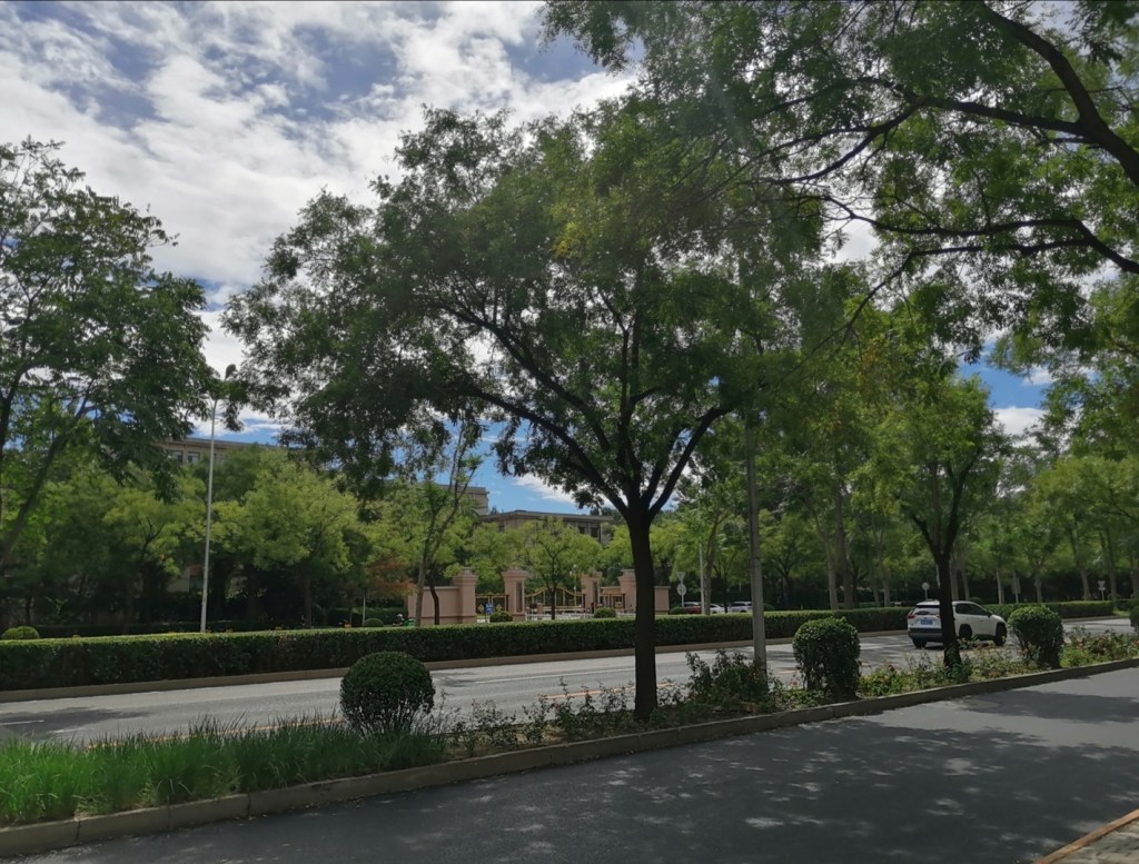
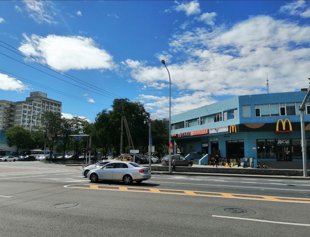
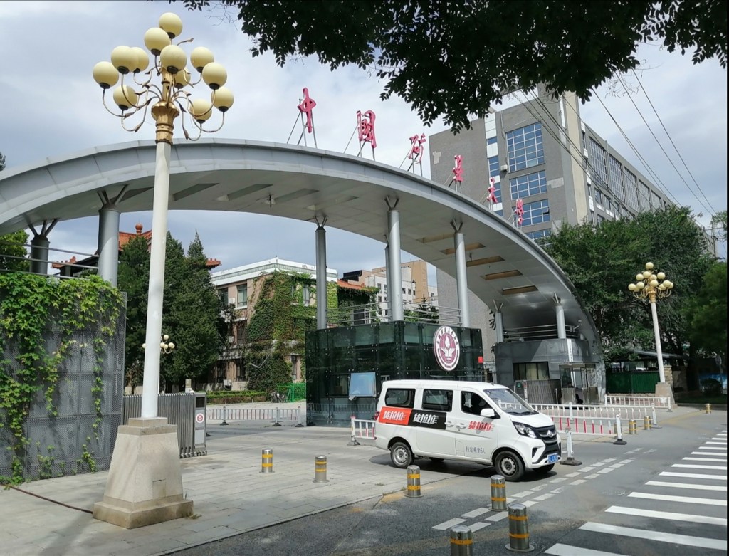
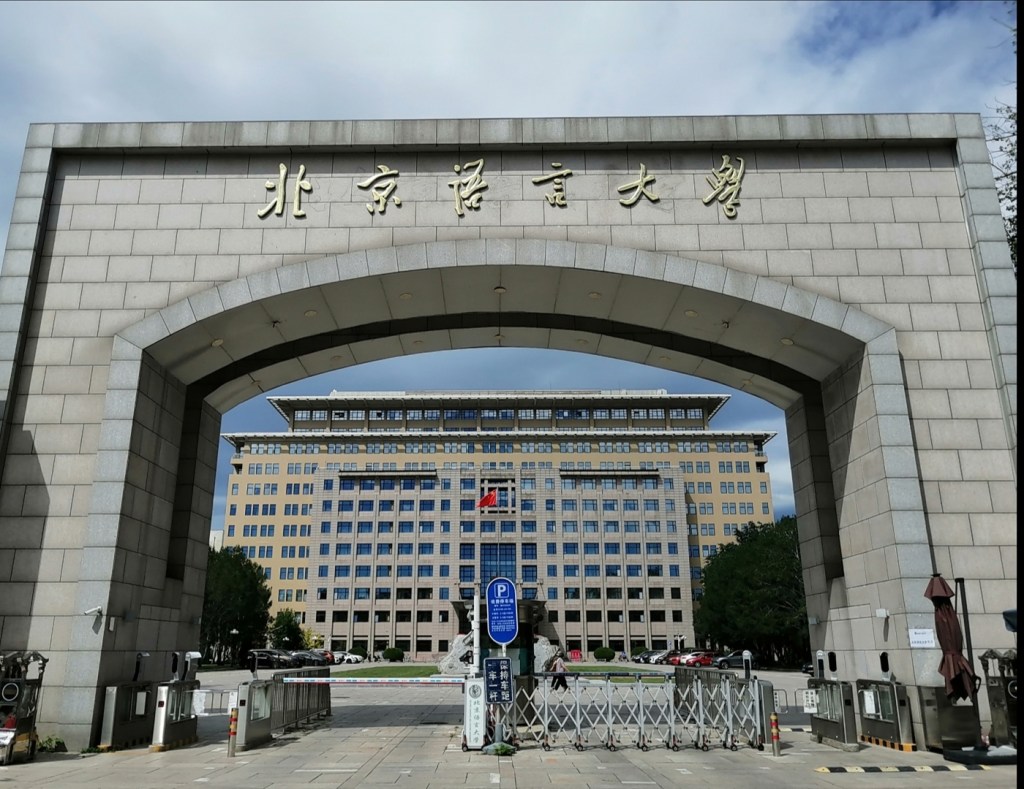
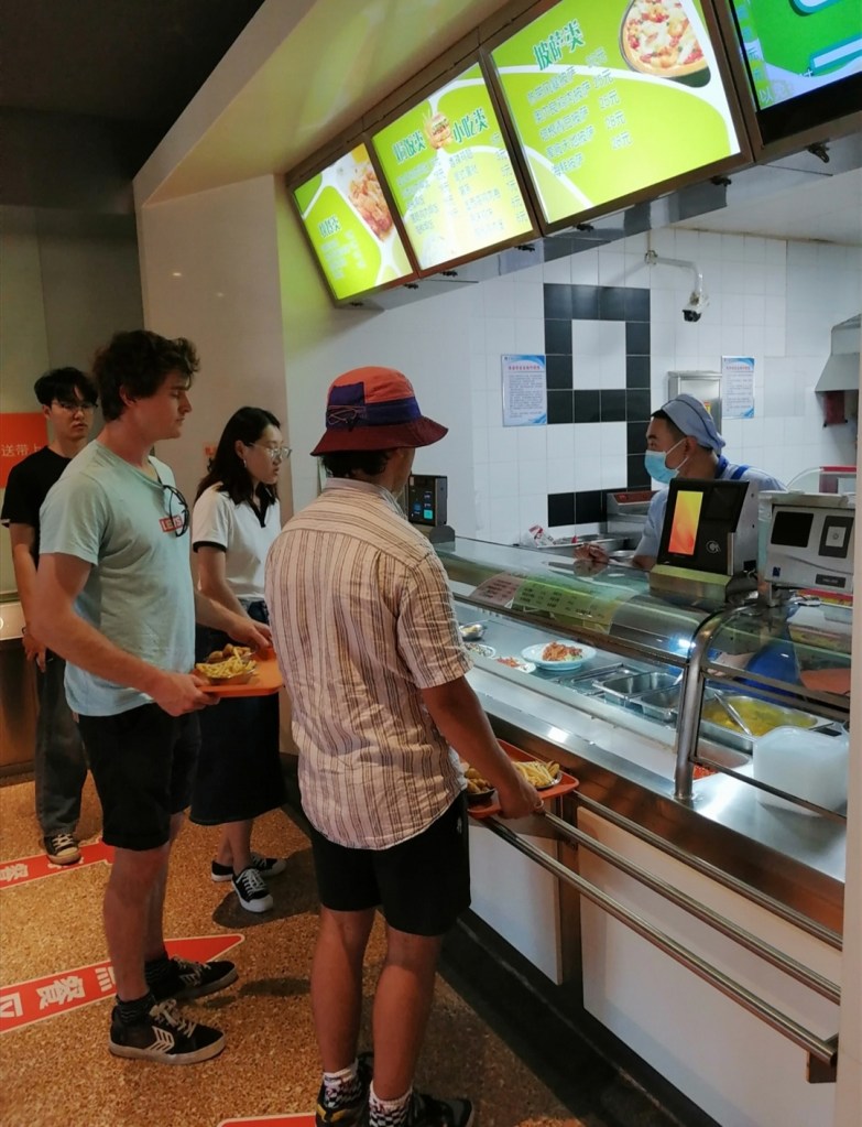
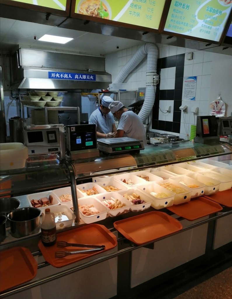
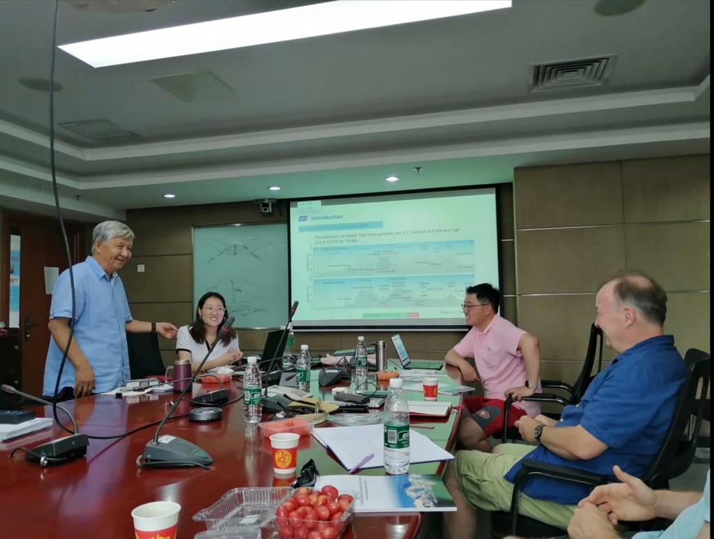
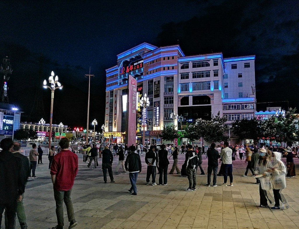
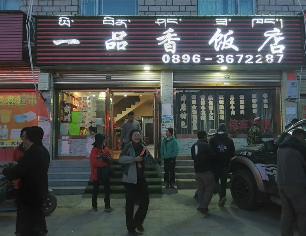
11th August: I slept well. Darwin too. Hugh and Eliot not so. I’m first at breakfast, which is outrageous! The morning is spent walking through the leafy University neighbourhood and to the shopping mall. We then have lunch at the canteen (cheap and tasty) before a meeting at CUGB to discuss the plans for the field trip. We have some very exciting presentations, visit by senior colleagues, and discussion about the sites we will visit and what we are trying to achieve. We have a briefing about working in Tibet as well, including tips about high altitude. It’s just got real, and we all start our Diamox treatment tonight. Dinner is preceded by learning how to play a card game, which we will have two weeks to perfect. A superb dinner again (not too sure about the stinking tofu though), and an early night as we have to leave at 5am tomorrow. Waking up will be painful… We’re off to Tibet!!!


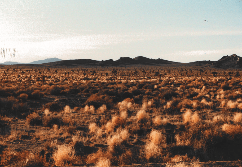
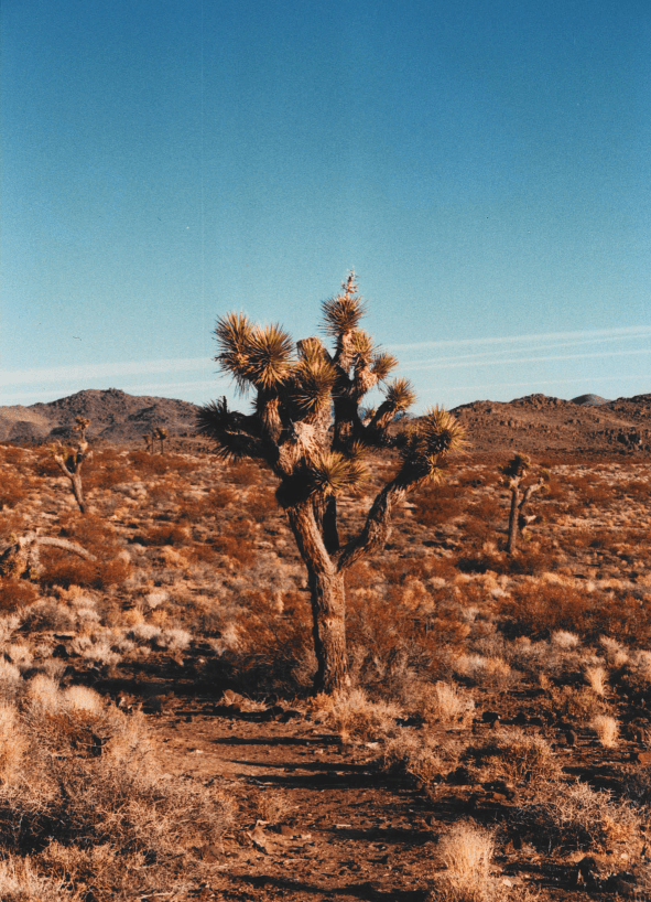
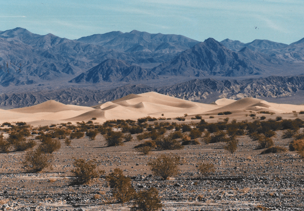
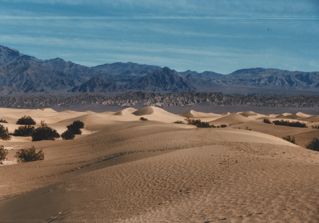
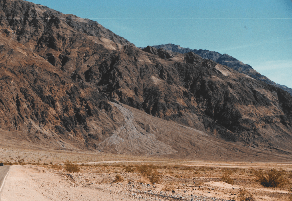
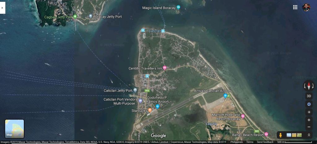
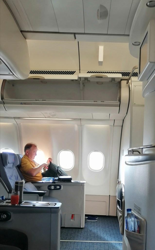
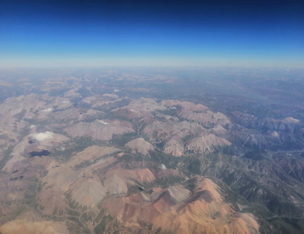
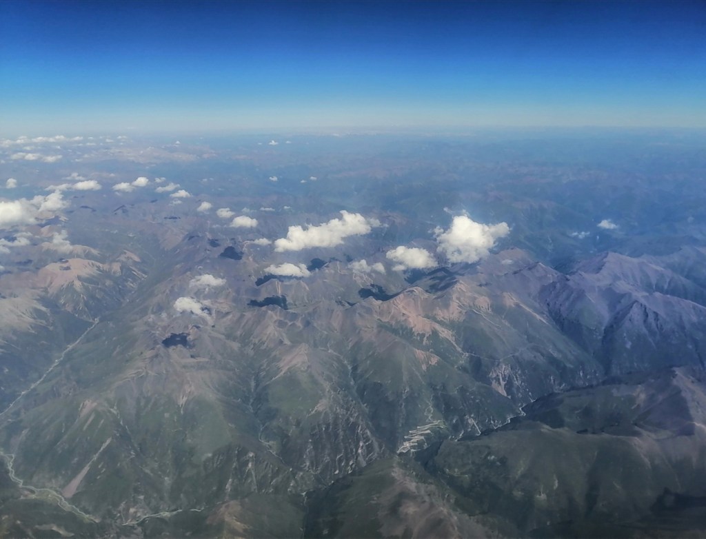
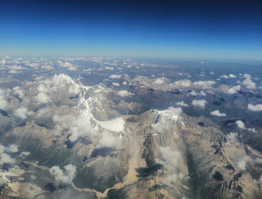
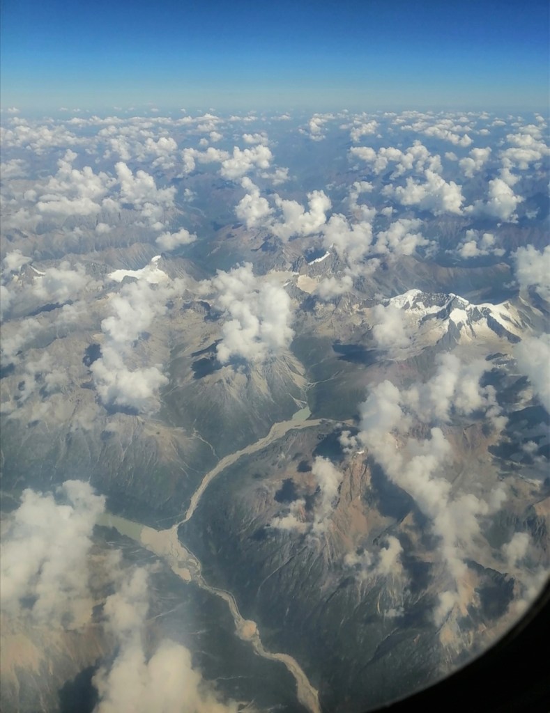
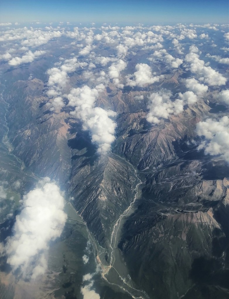
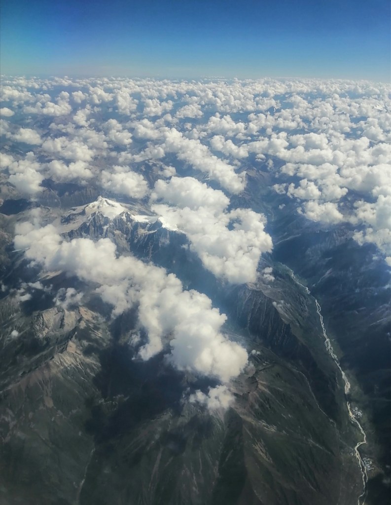
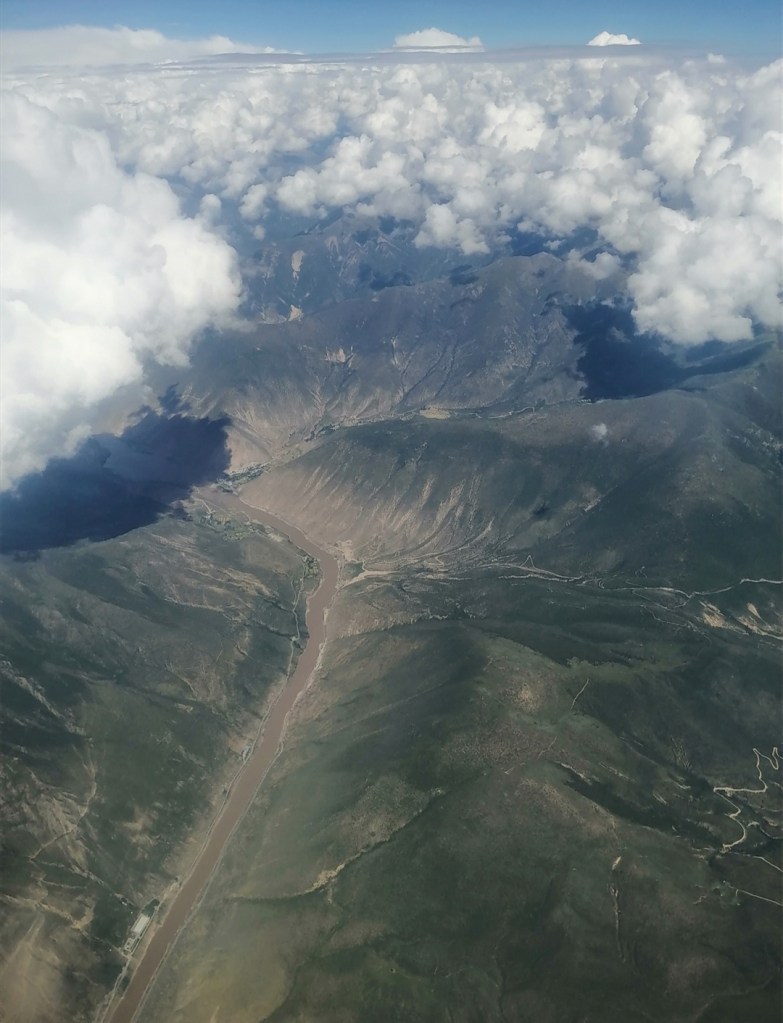
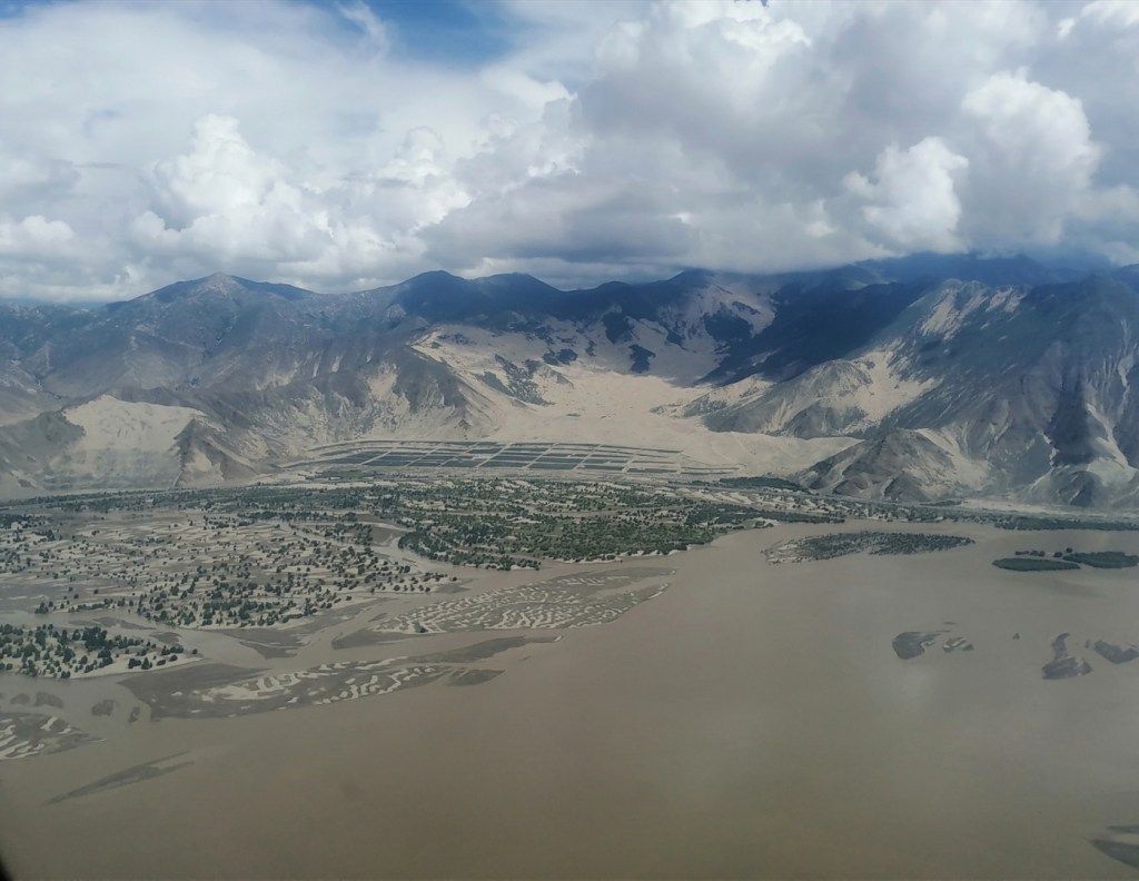
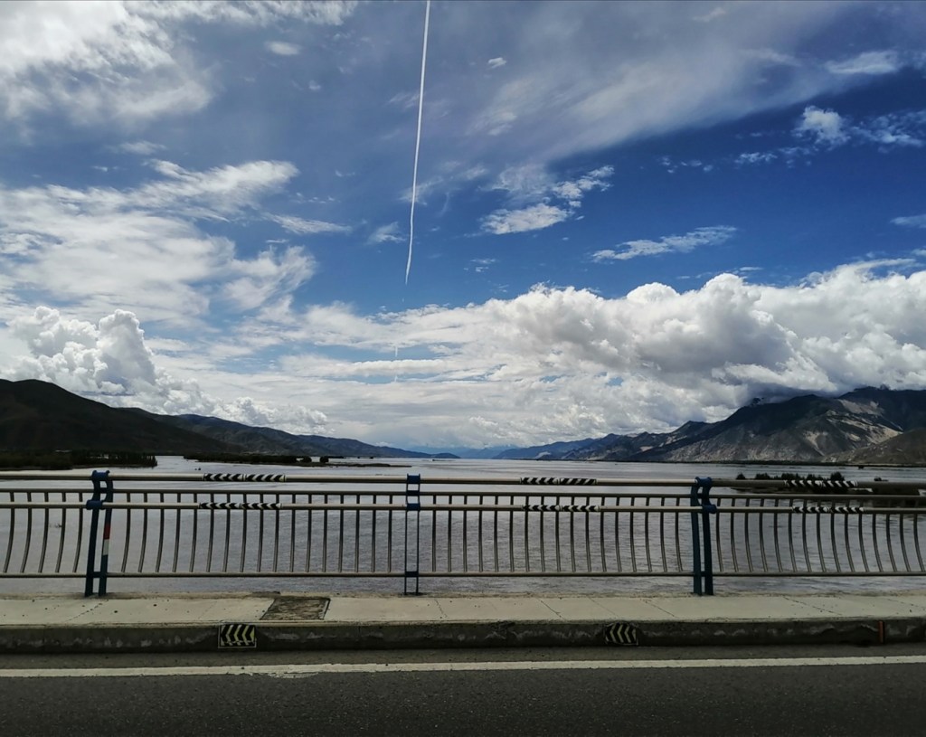
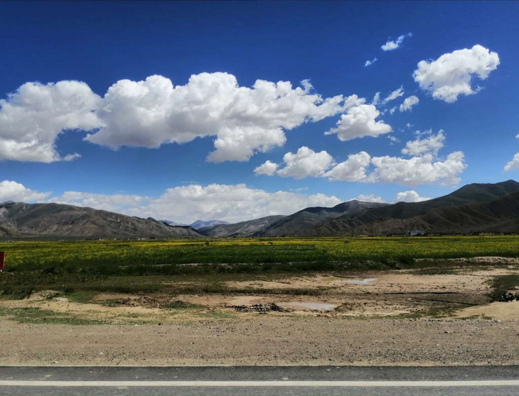
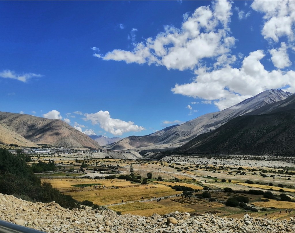
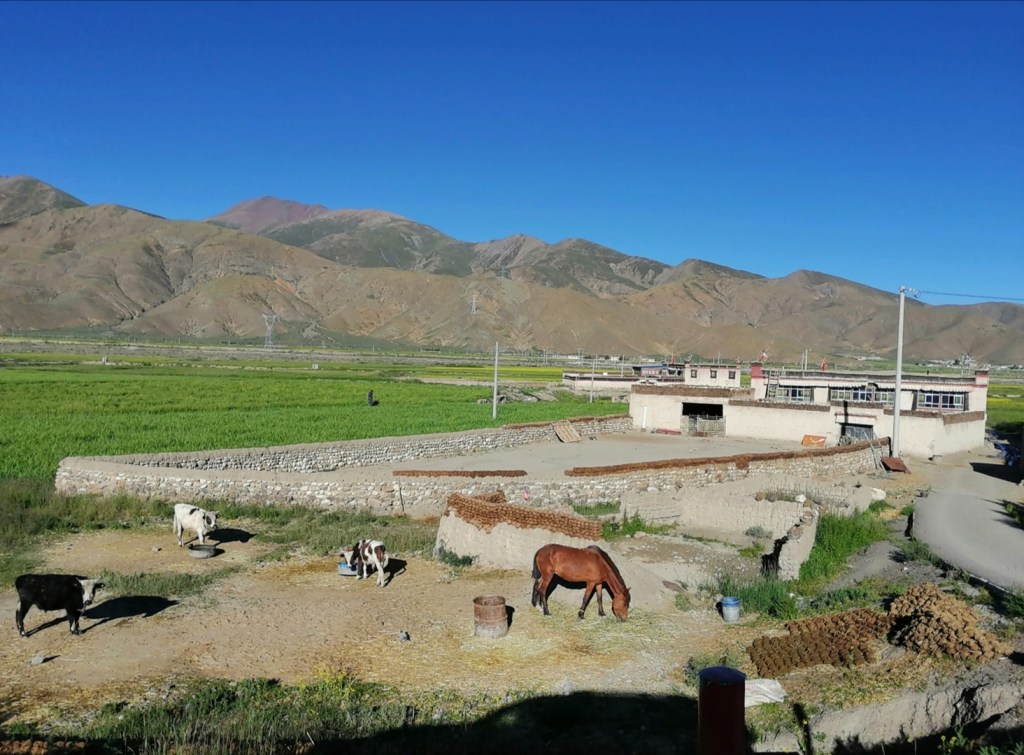
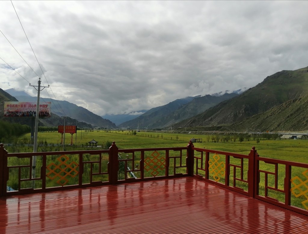
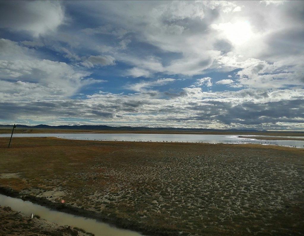
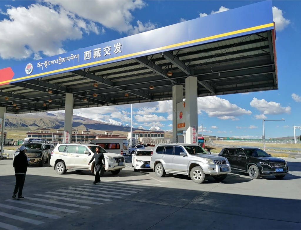
12th August: travel to Lhasa. The night was not so good for me, and waking up at 4:30 was very challenging. We travel to the airport to catch a flight to Lhasa at 7:45 with an Airbus A330 (sizeable plane) of Air China. Hugh and I travel first class again; apparently professors travel first class. We are not going to argue. The flight is eventless and the last hour of the flight is spectacular. So much relief on the edge of the plateau, and on such a vast expanse! The landscapes are mind blowing. 10 minutes before arriving to Lhasa, it gets very cloudy and wet, which is the first surprise. Parts of the Tibetan plateau are fertile, green and very wet during the summer monsoon! There is also evidence of much sand blown as we approach the Yarlung valley, with many dune fields and a lot of planted trees to stabilise them (this is what Yalige is working on).


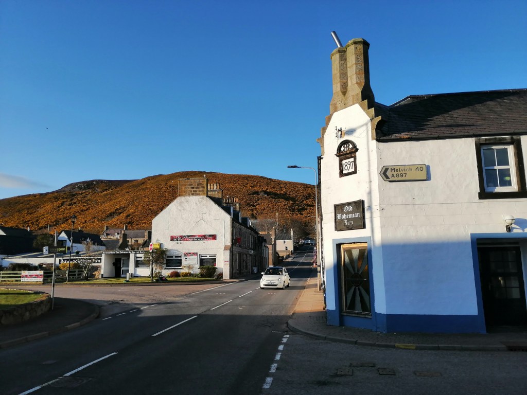
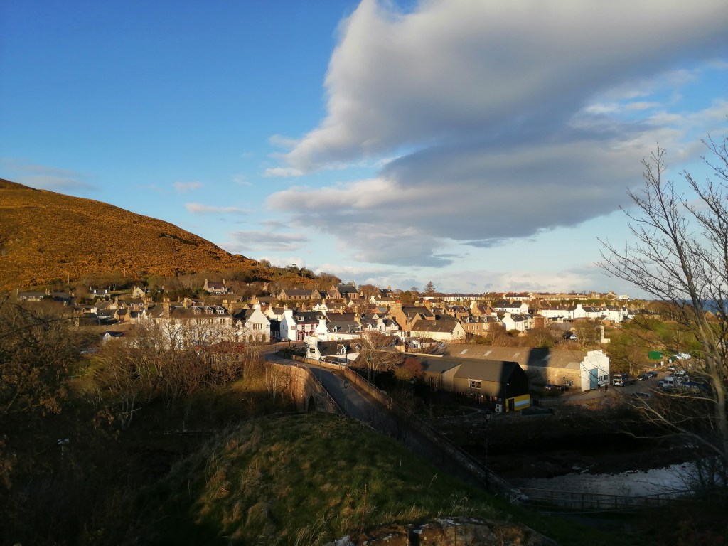
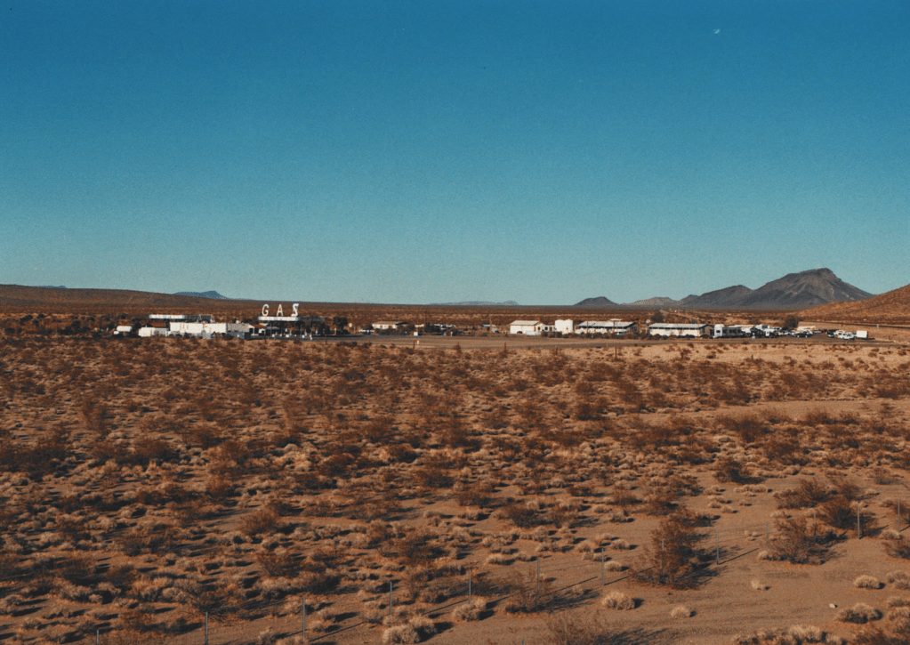
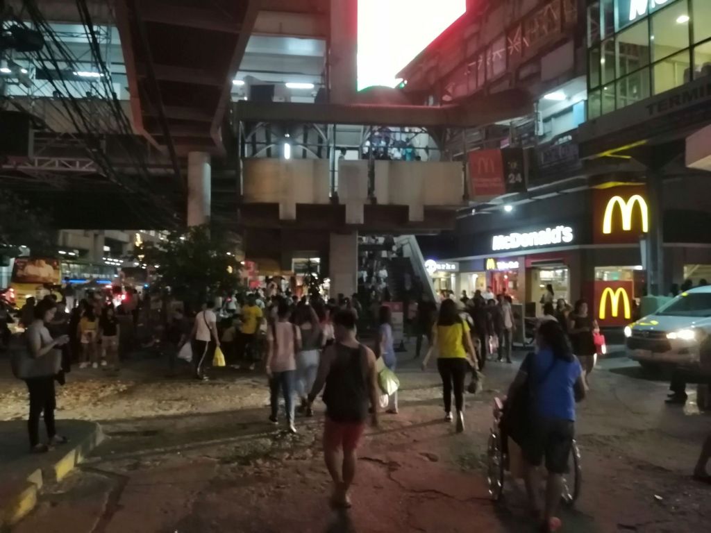
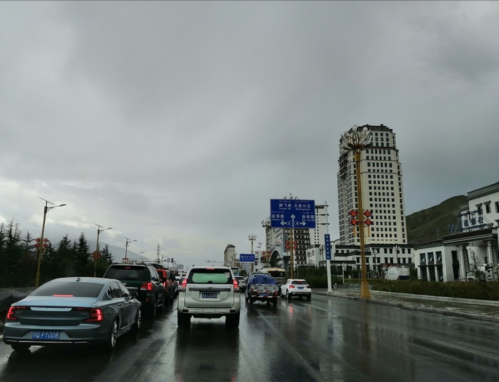
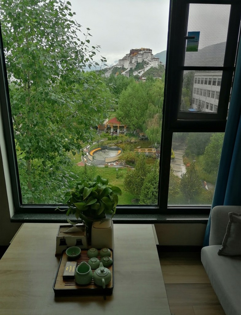
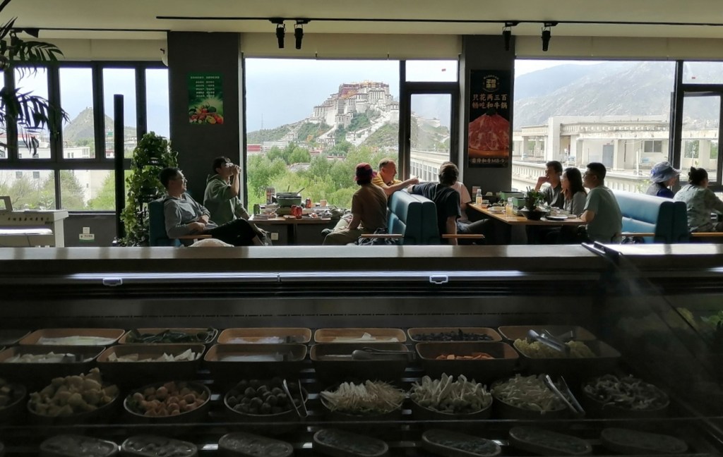
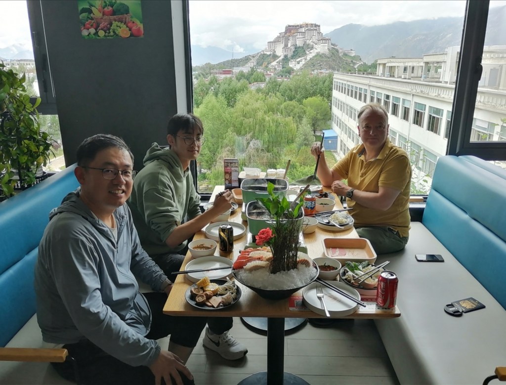
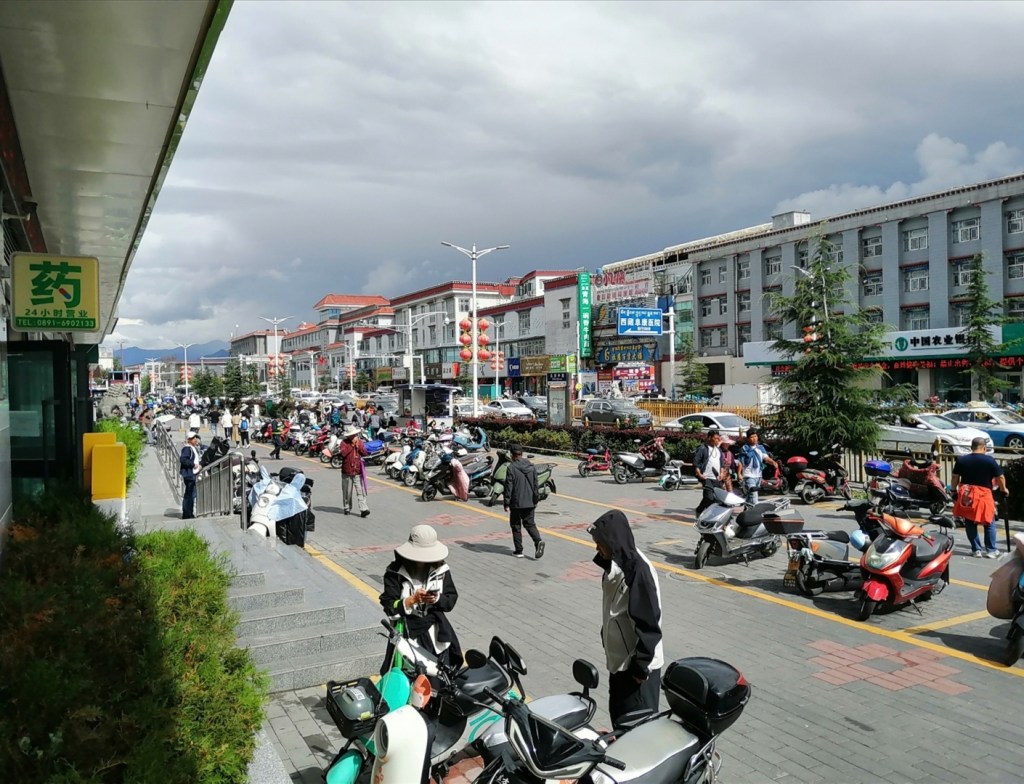
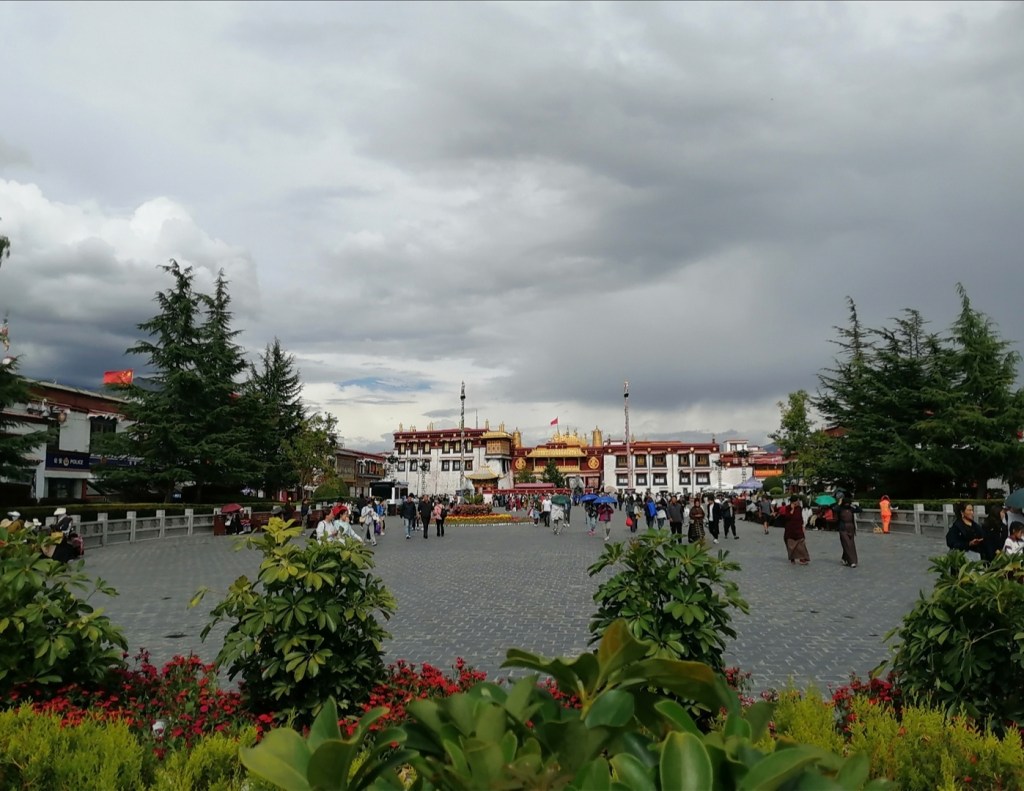
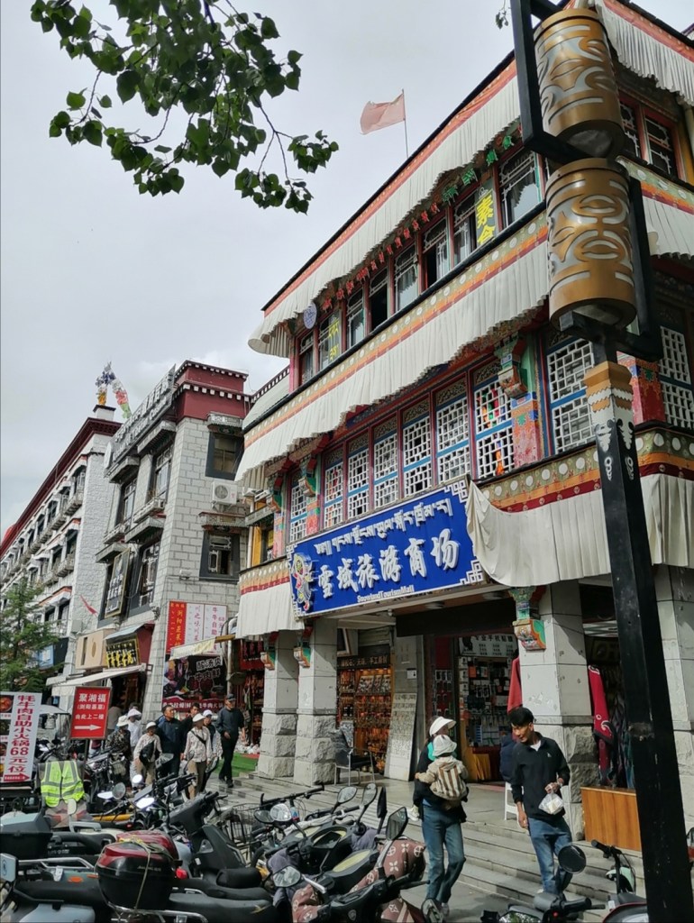
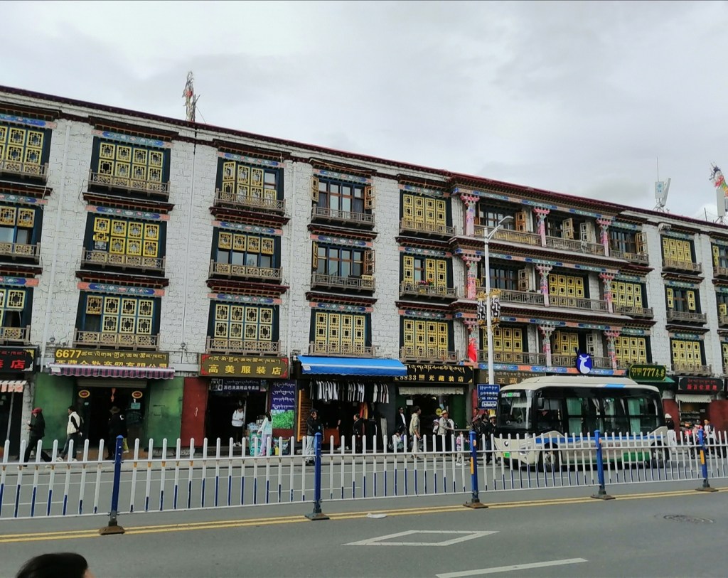
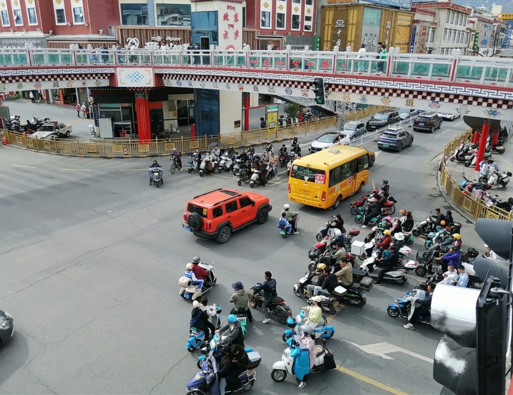
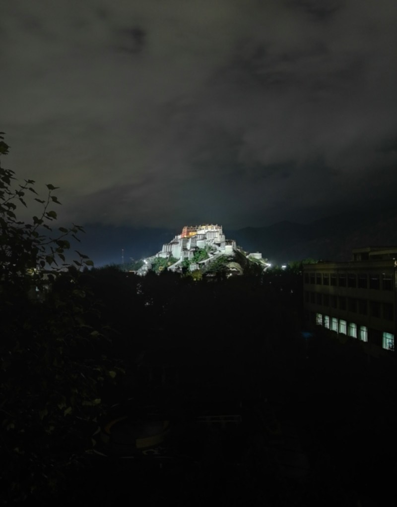
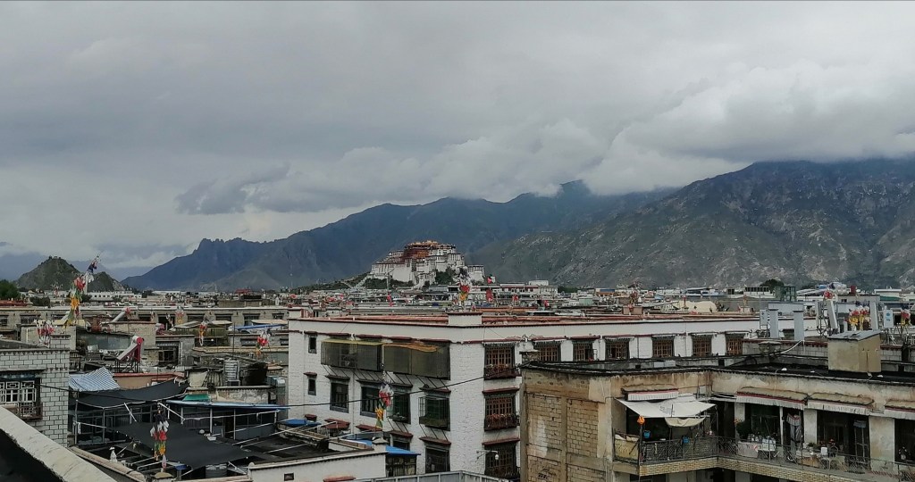
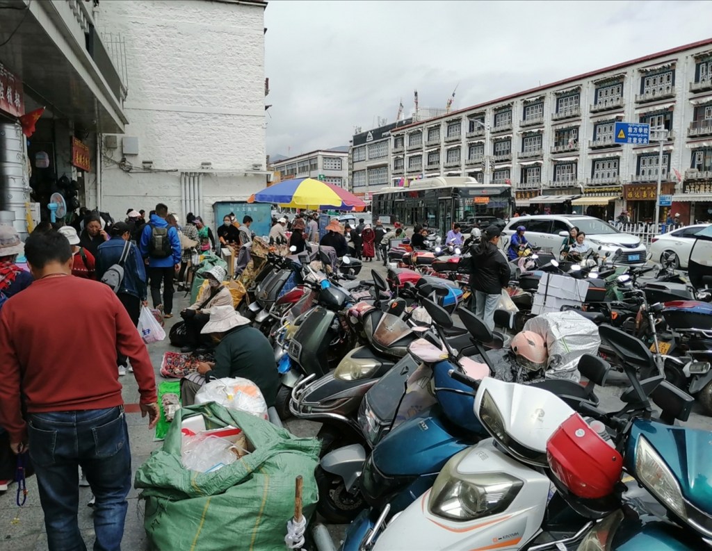
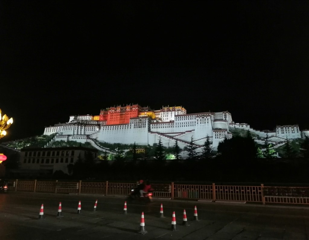
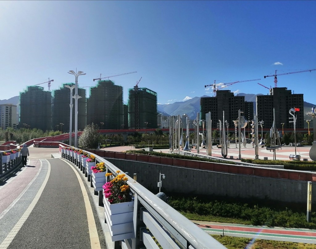
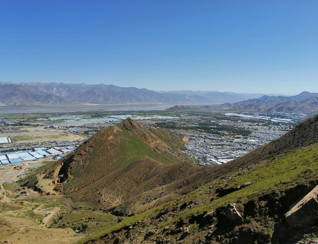
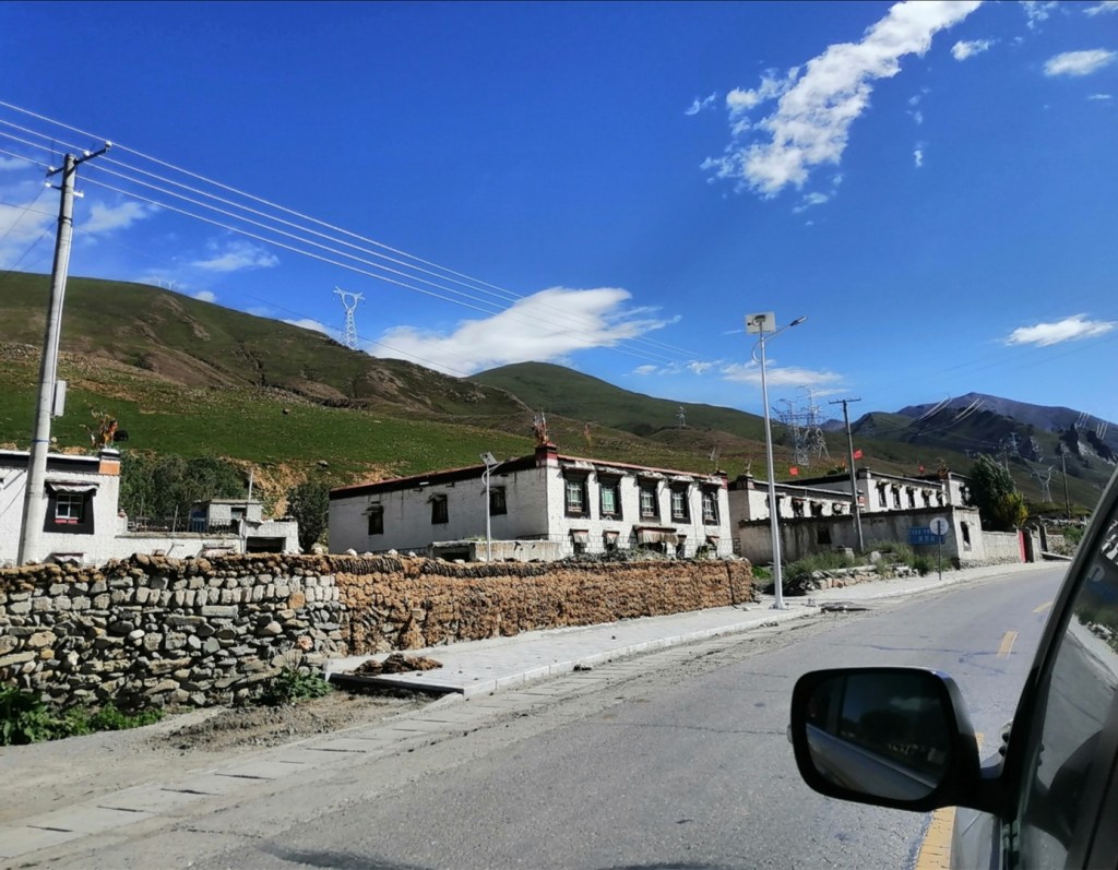
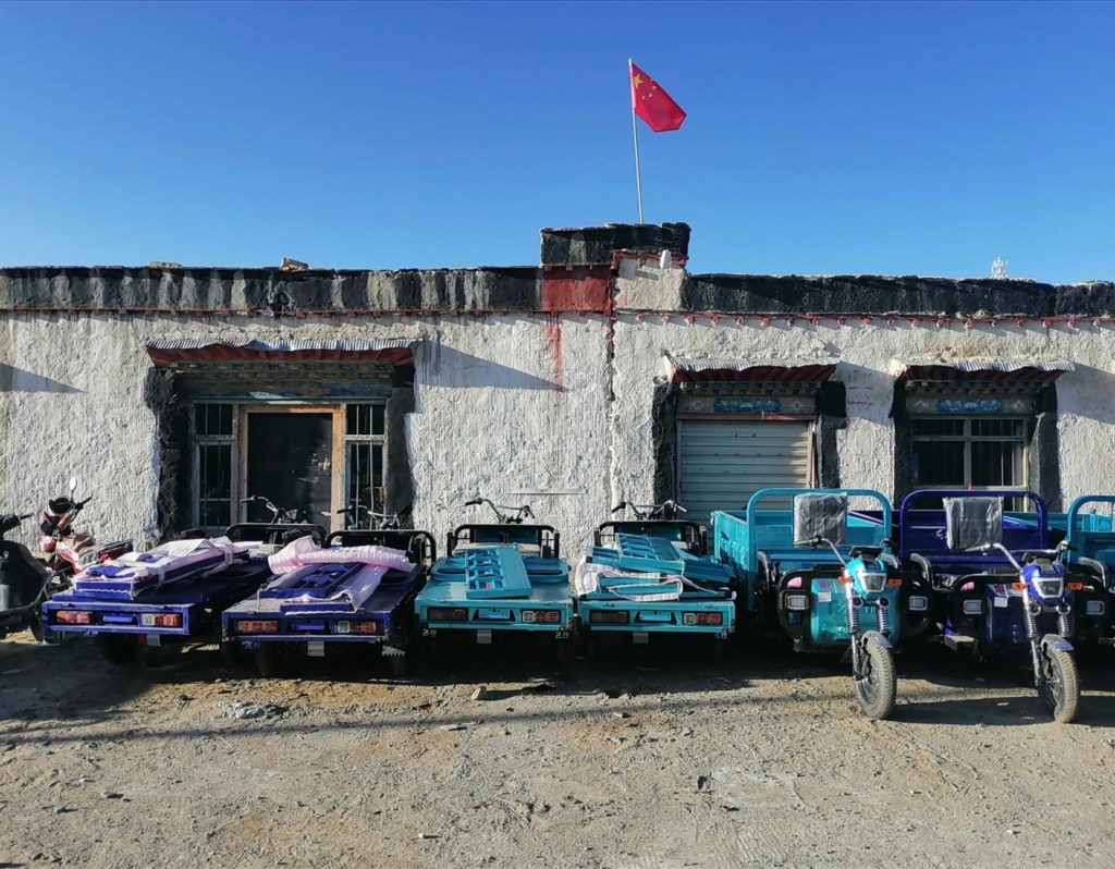
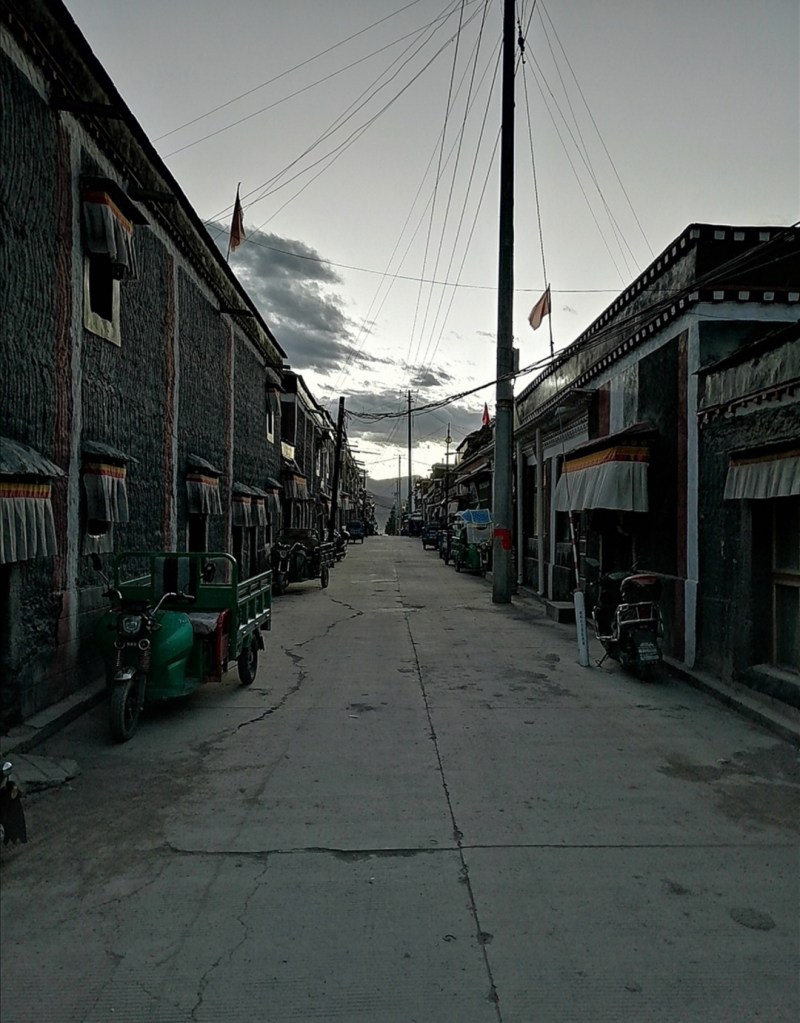
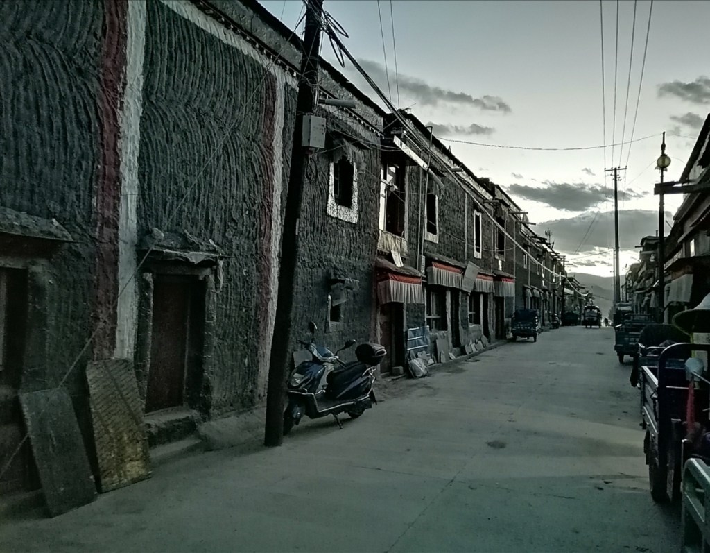
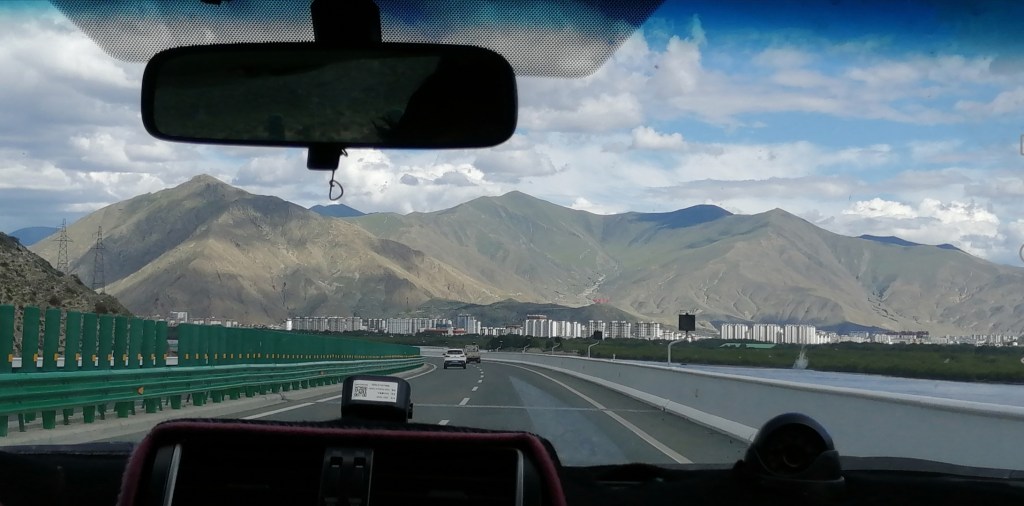
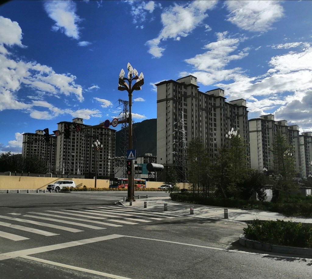
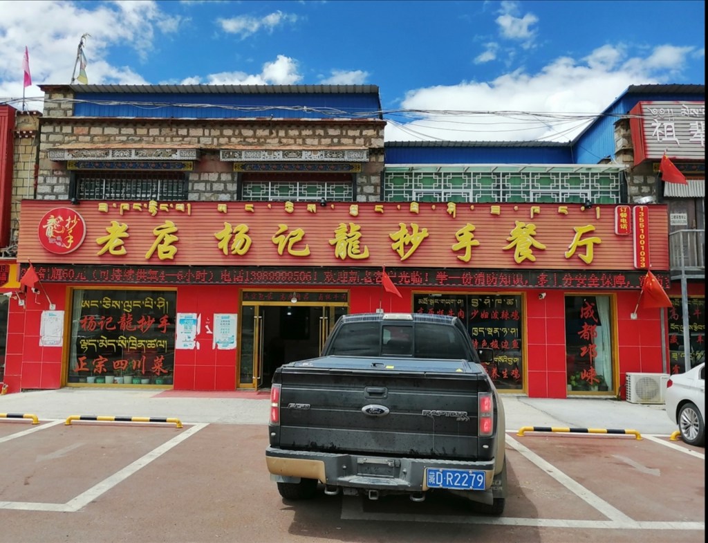
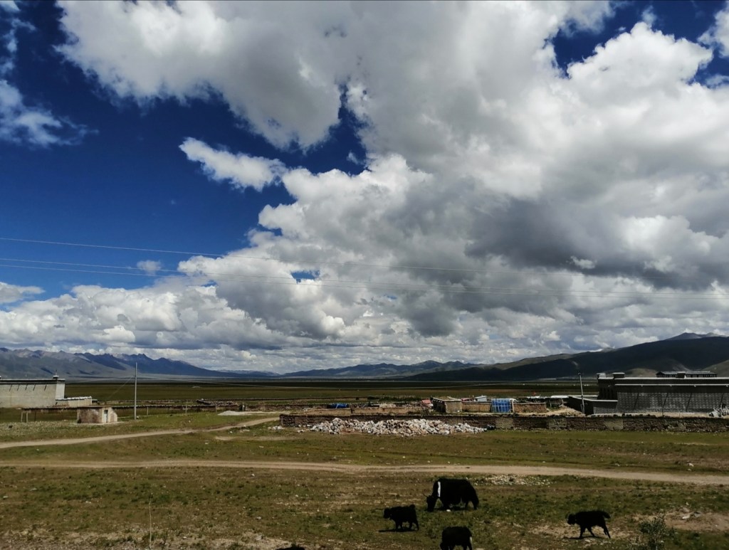
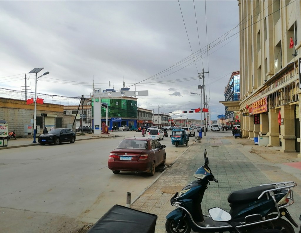
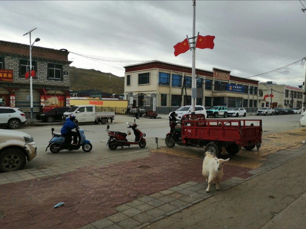
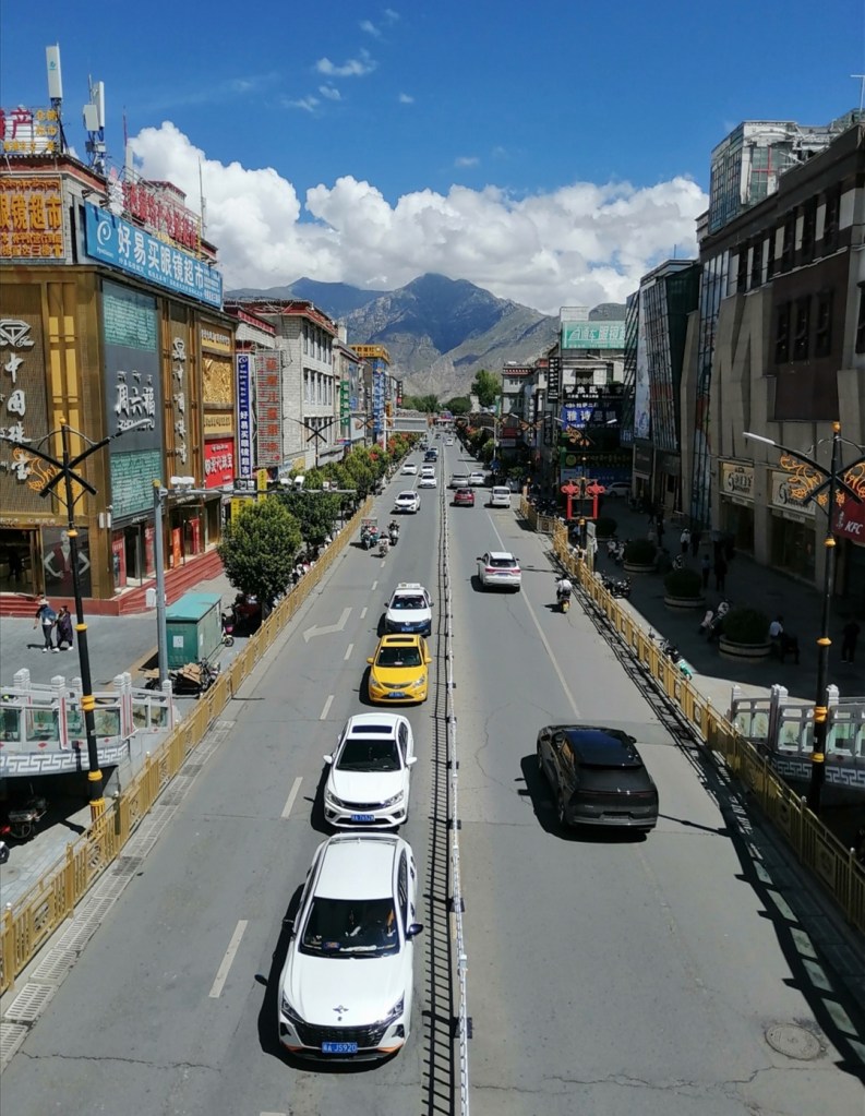
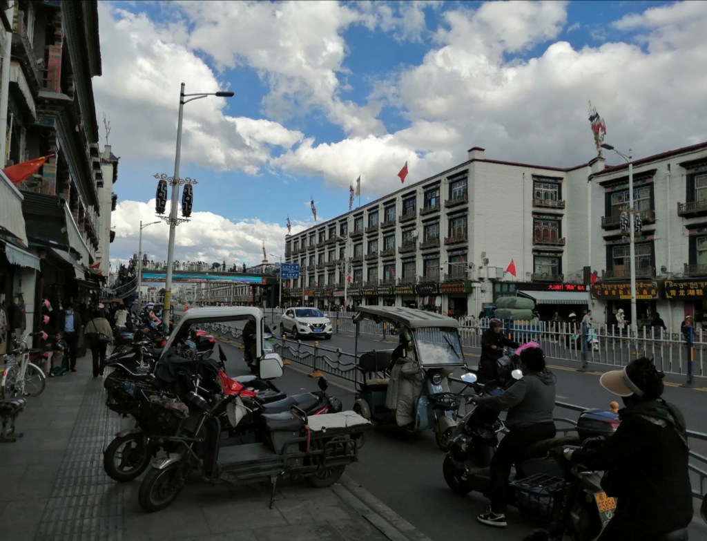
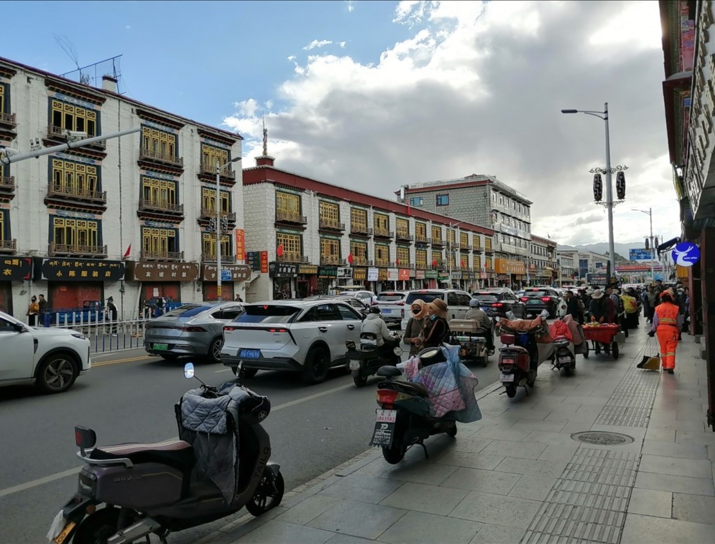
My bag has not made it. We have a very wet 30-minute drive to Lhasa. Everyone is feeling a bit light-headed, which is expected (we’re at 3600 m elevation), but the temperature is very pleasant, 20-22 degrees. I’ve got a headache that will last all day, and Eliot some tingles in his hands. Many of us have very low blood O2 levels (around 88%) but hopefully we will acclimate! The city is very busy and congested, and very lively with locals and tourists. Zhongpeng got us a hotel room with quite a view. The Potala Palace! We have a late hotpot lunch at the hotel, then a nice stroll (taking it easy, we feel so weak!) across the city. After a break (and my bag has arrived!), we have a nice dinner in a Tibetan restaurant with live music, where we meet some more of Zhongpeng’s colleagues working in Tibet. Quite a busy day! We should sleep well (I hope…)


13th August: I didn’t sleep so well. Shortly after going to bed, I woke up with a massive headache and short of breath. My blood oxygen readings were around 80-83%, which is not great, so we put the oxygen machine on in the room for the whole night and I took a few good breaths: my oxygen levels went to 100% within a few seconds. It’s incredible how quickly the body respond to this! I eventually had a great night, and woke up very well: headache is gone and my blood oxygen levels stayed between 92 and 95% all day! It’s amazing how the body can acclimate.
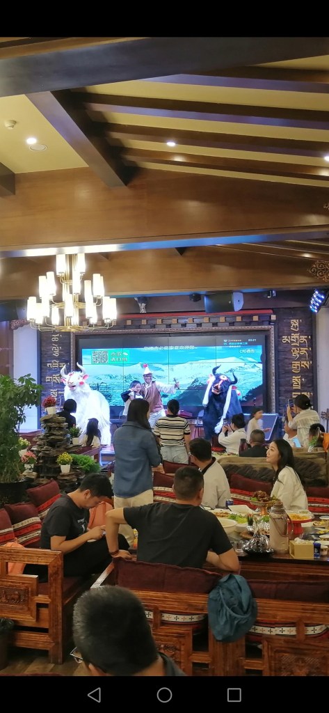
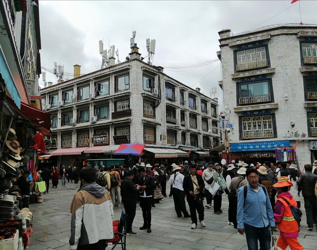
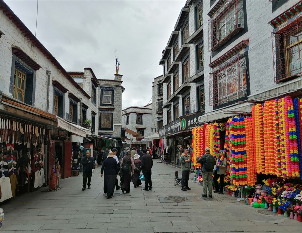
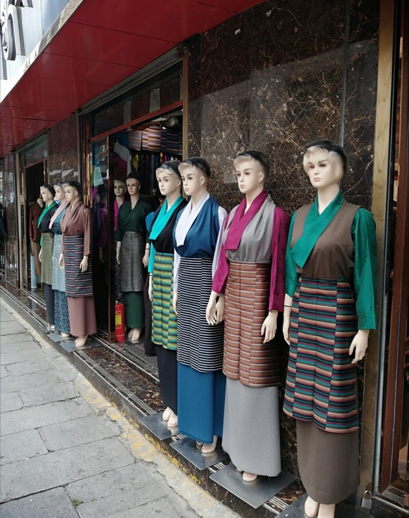
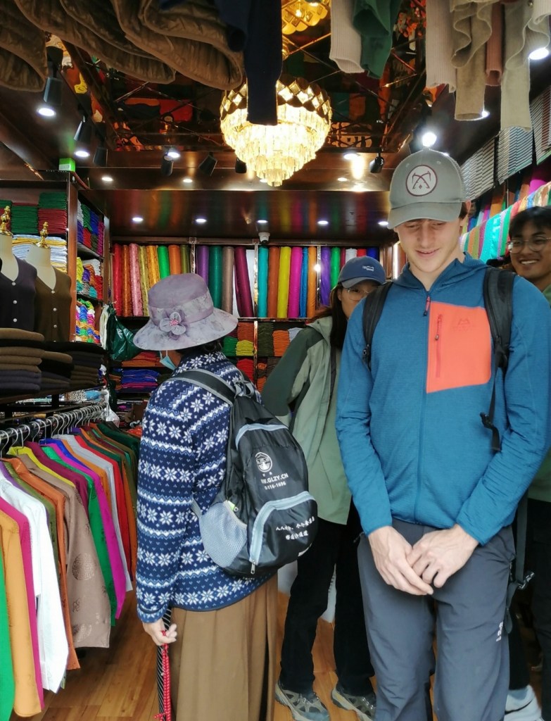
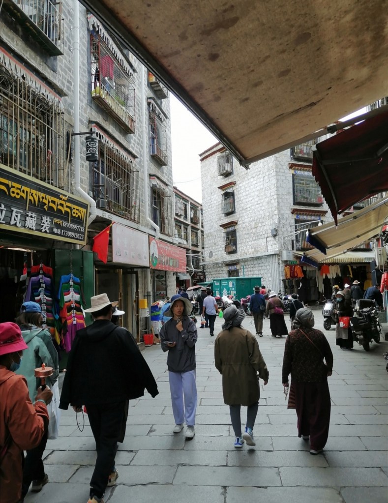
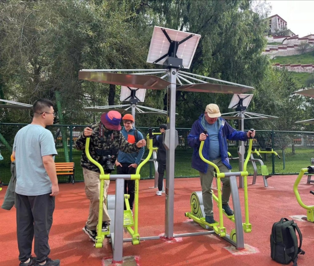
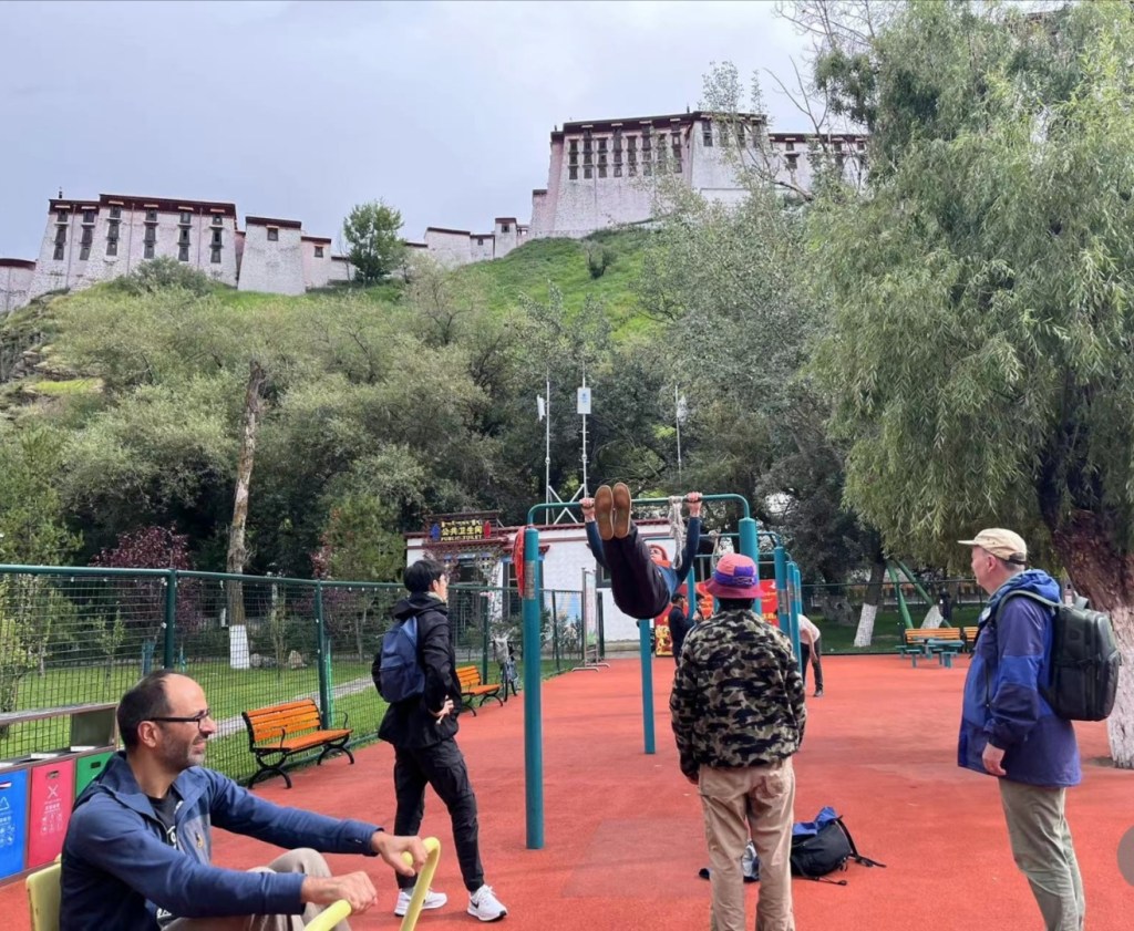
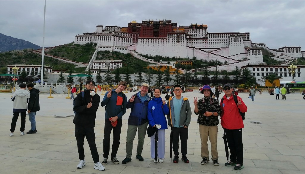
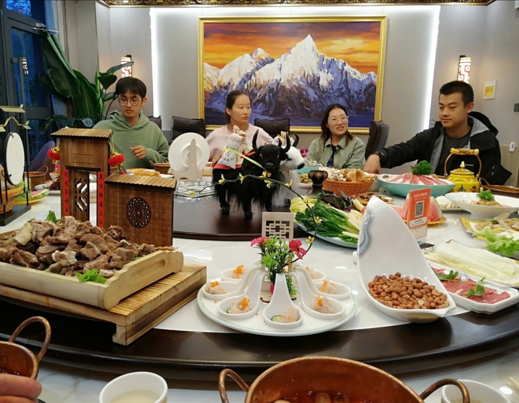
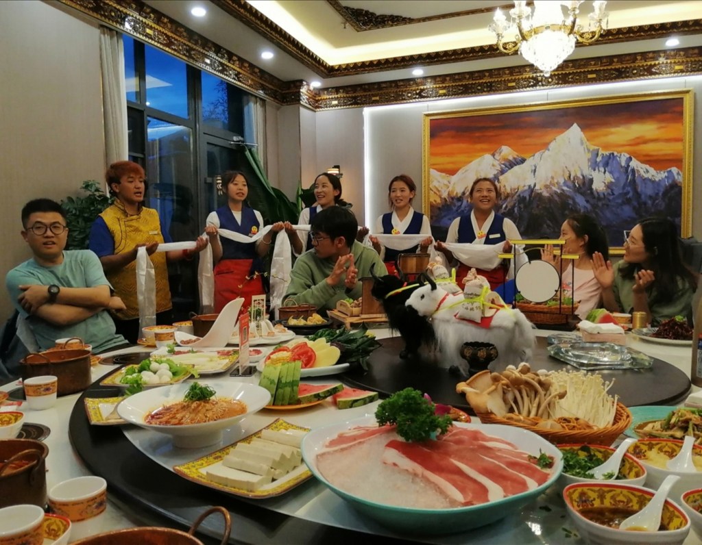
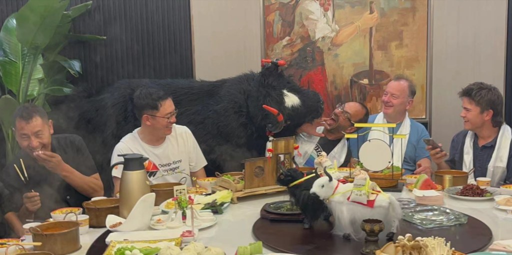
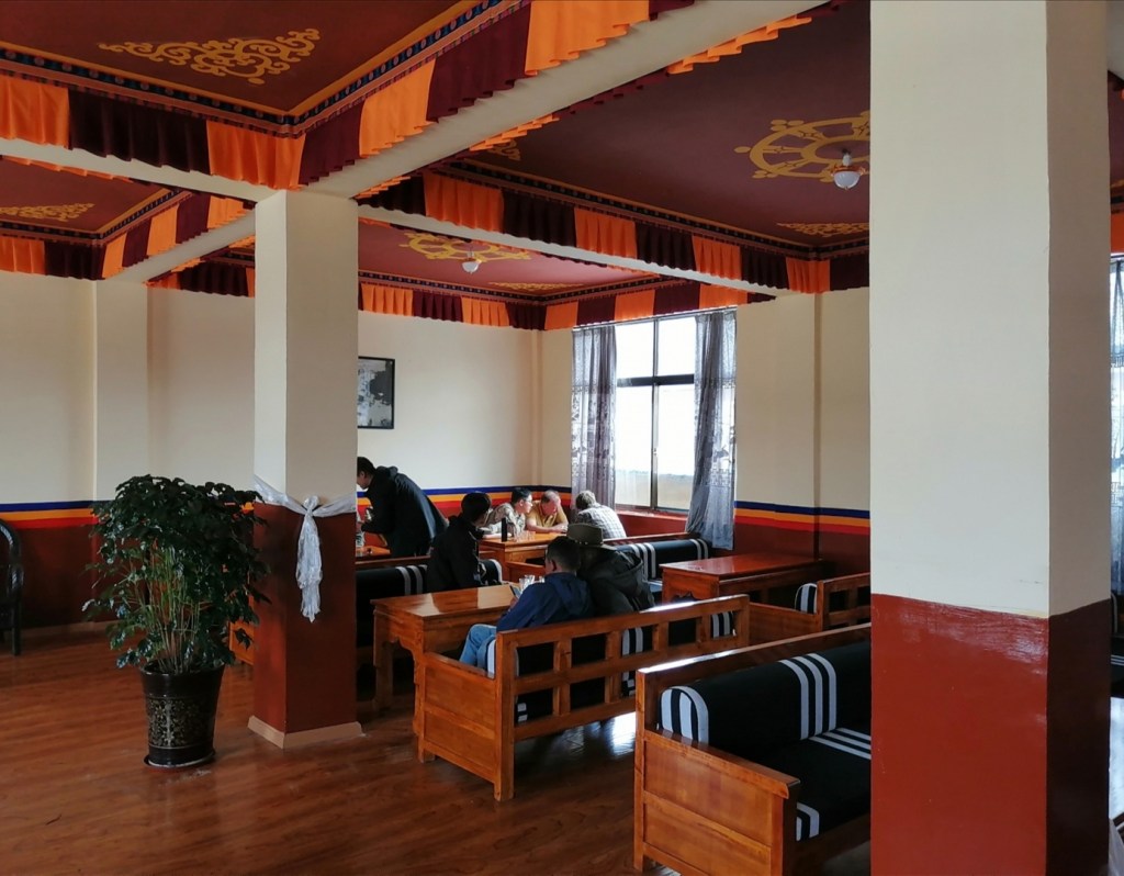
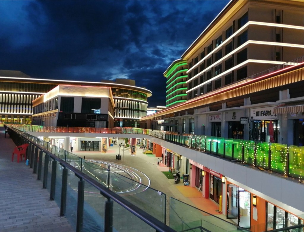
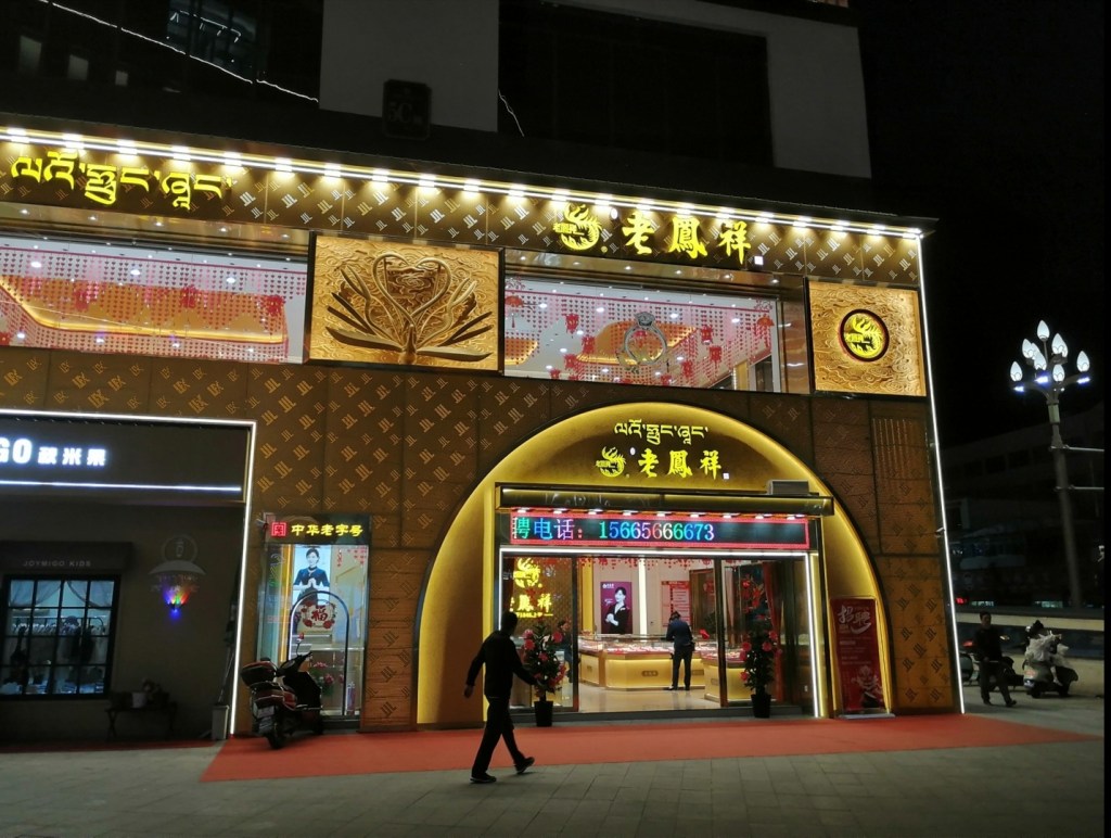
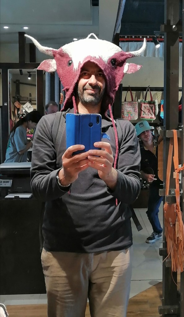
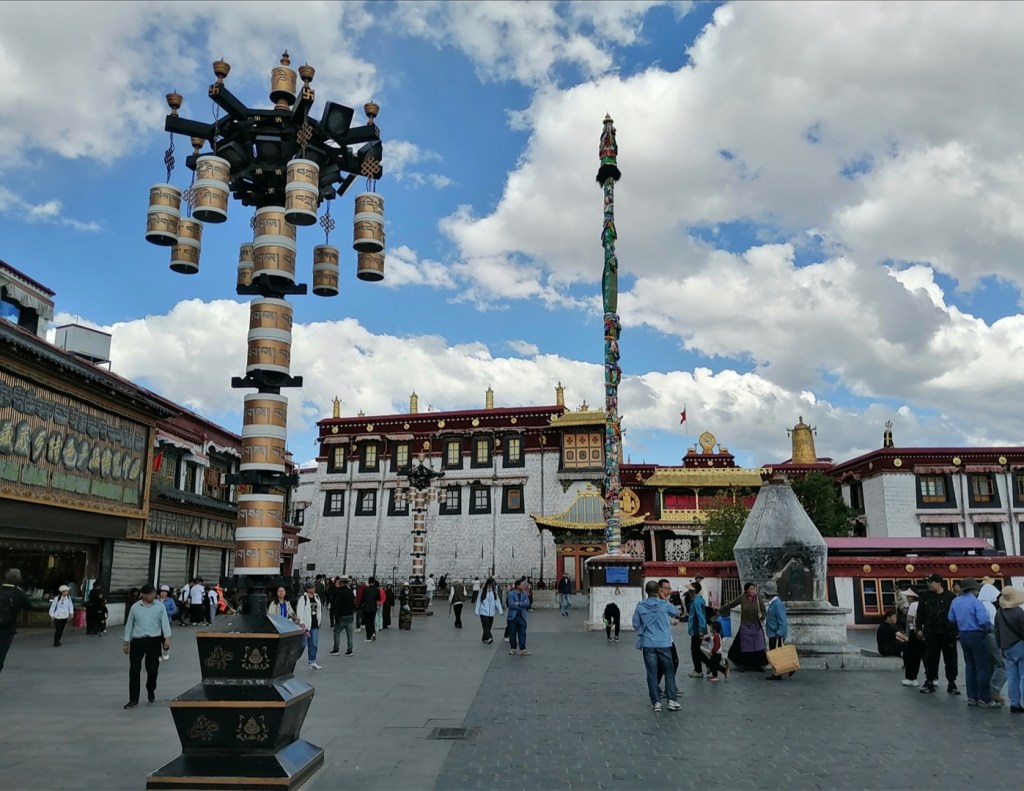
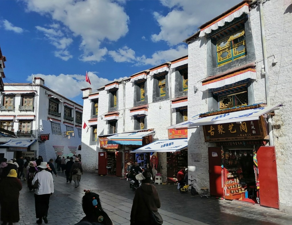
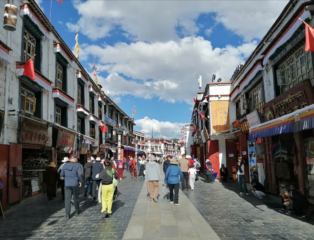
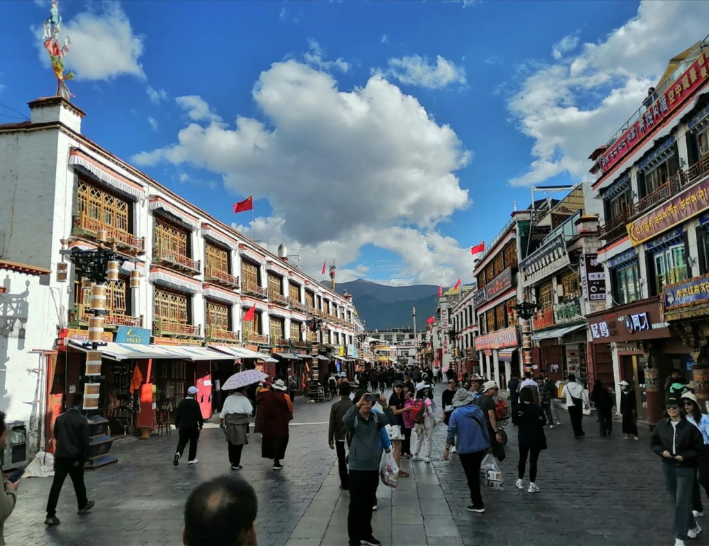
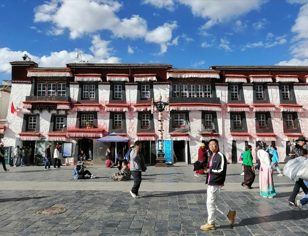
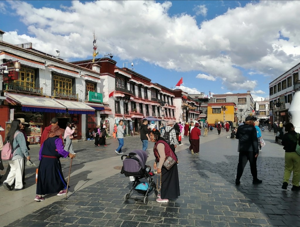
We have breakfast, then go to visit the busy and colourful old town. We have tea at a beautiful hotel where we discover one of Eliot’s talents 😊. We have lunch, then a wee break back at the hotel (and a bit of work). In the afternoon, we go for a walk around the Potala Palace, visit the royal gardens, and workout a bit to try to burn all the tripes and other strange and delicious bits of animals and vegetables we have consumed in vast quantities.
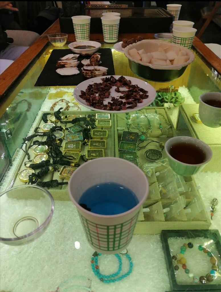

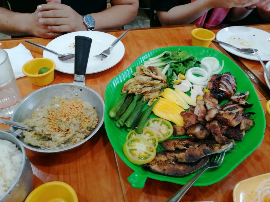
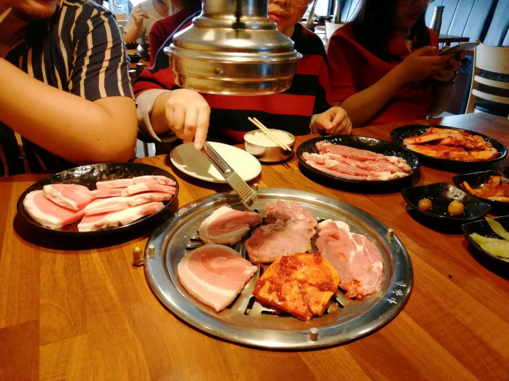
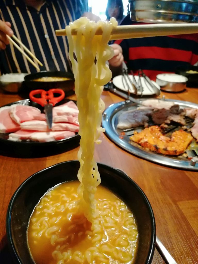
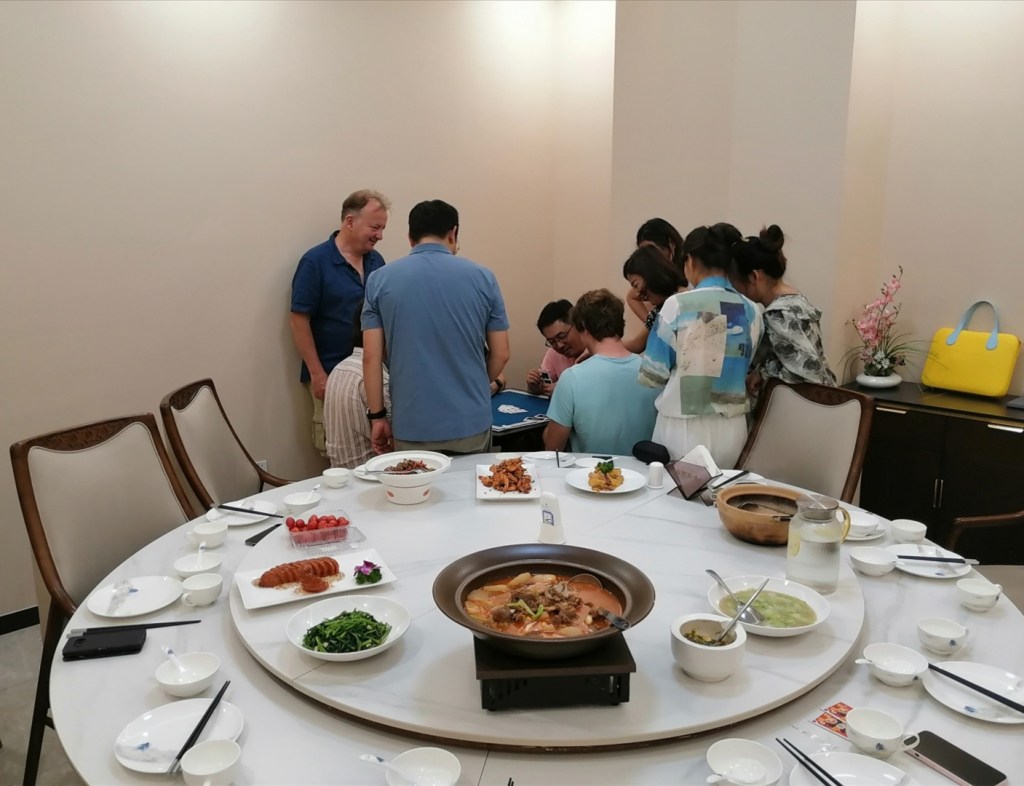
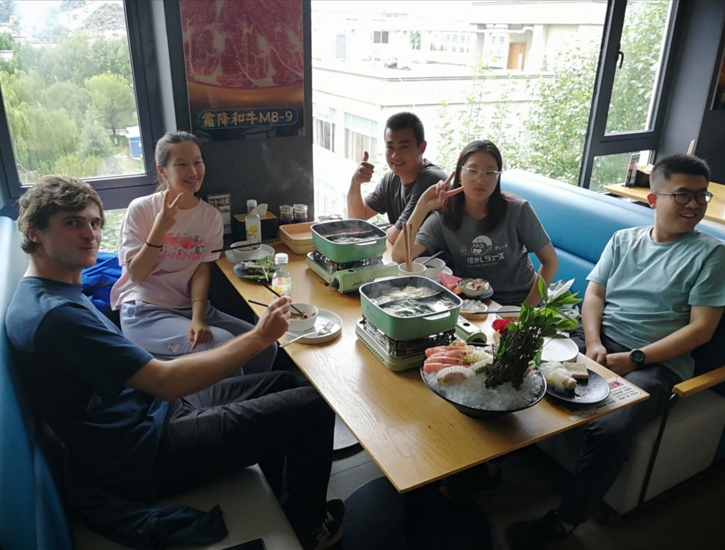
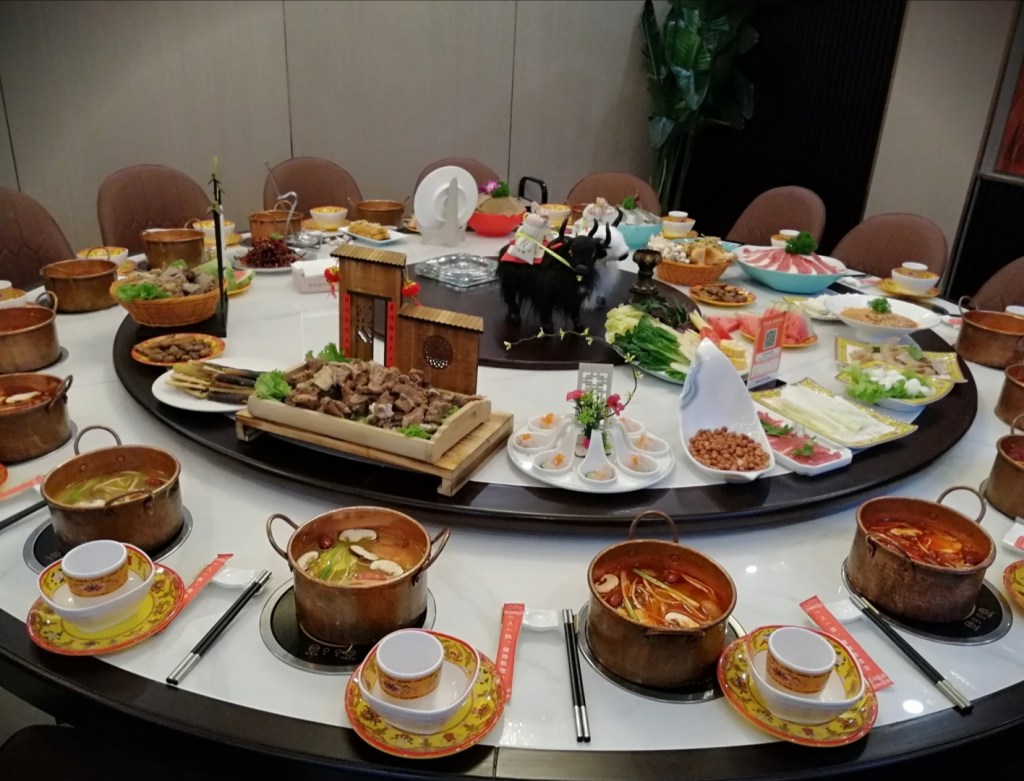
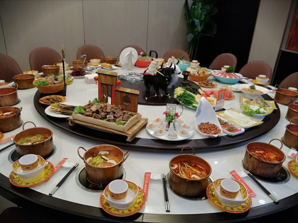
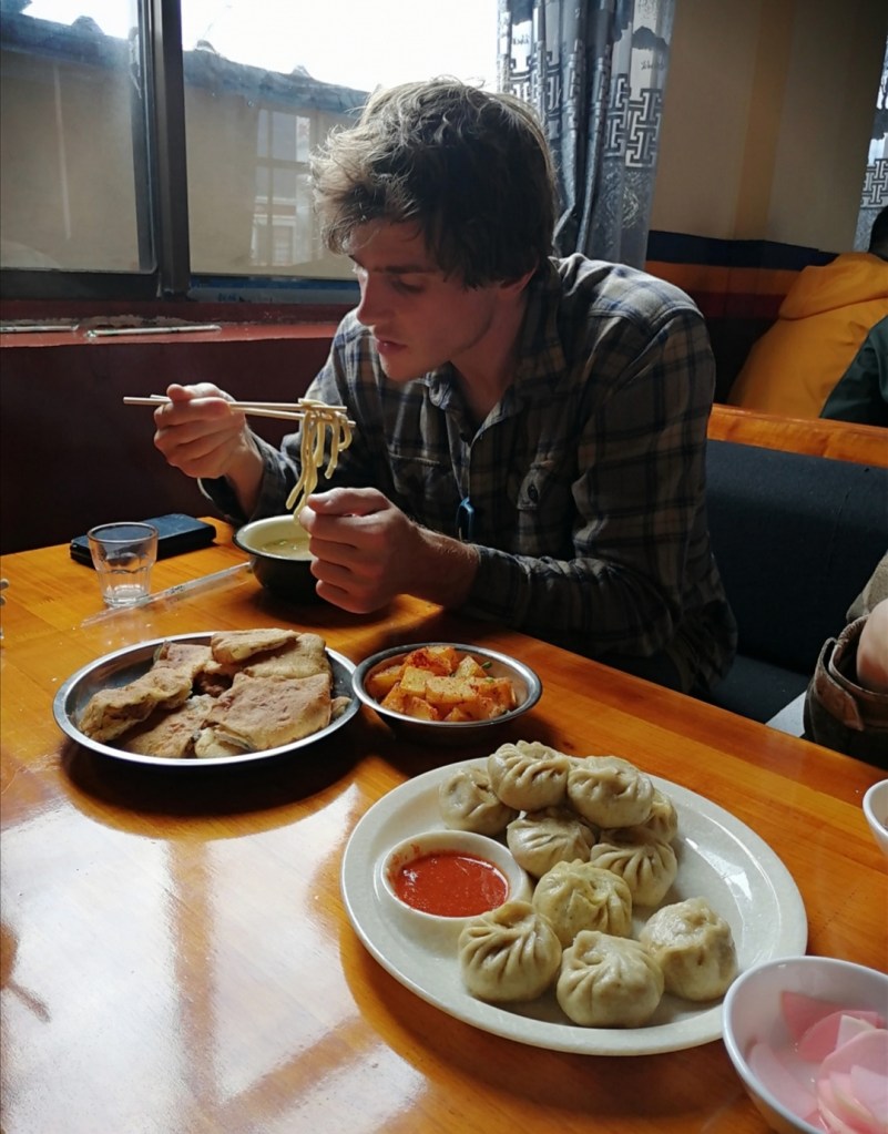
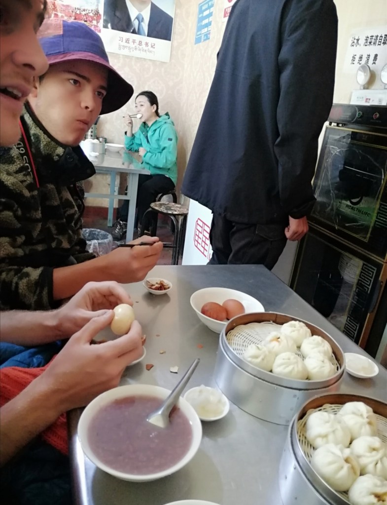
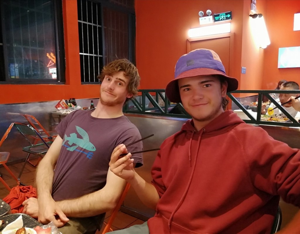
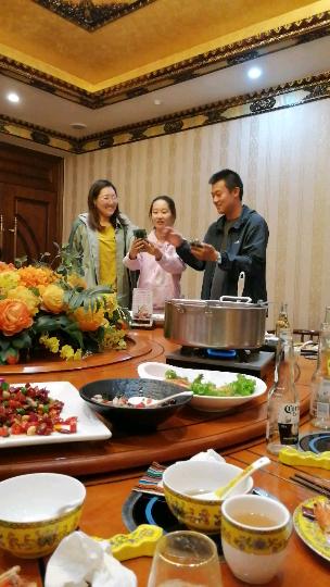
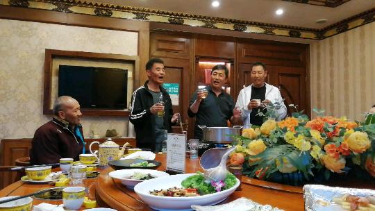
We end the day with yak hotpot. The table is stunning so I thought I had to share a few pictures with all the dishes. Each person has an individual hotpot where they cook the items of their choice. Dinner doesn’t start before a game card, and it is fantastic, as usual. There is also live music and theatre in the main room of the restaurant, and one of the characters invites itself forcefully into our dinner room at some point. I try to explain to the yak that I am vegetarian, but I couldn’t conceal the evidence. Bye bye Mikael 😂. Full and entertained, we return back to the hotel. Acclimatisation is now well under way, the work can start tomorrow! Thank you Yalige Bai for the pictures of the workout and yak attack. And to our Chinese hosts for their incredible hospitality 😊


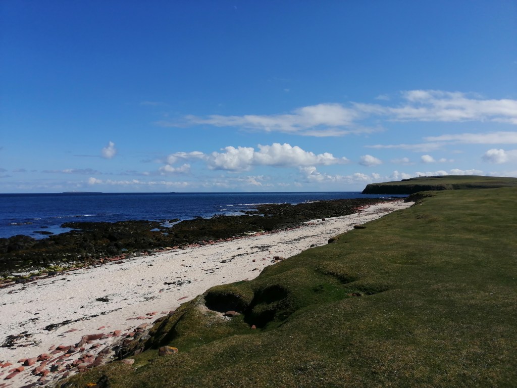
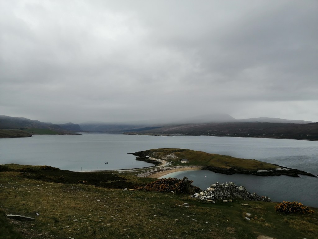
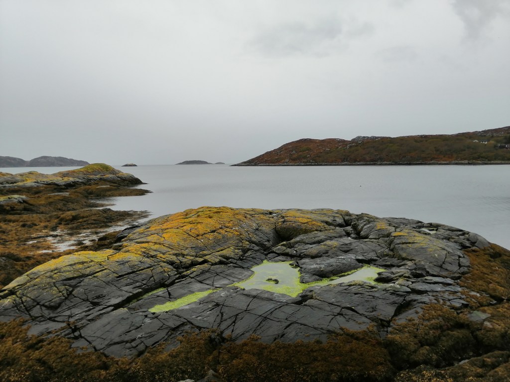
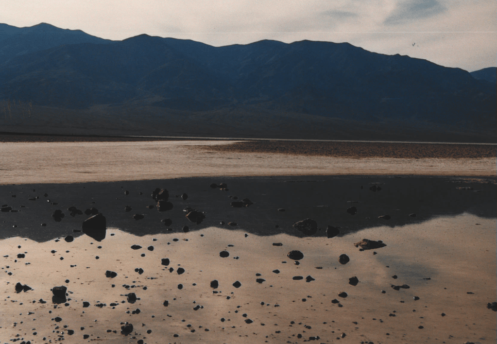
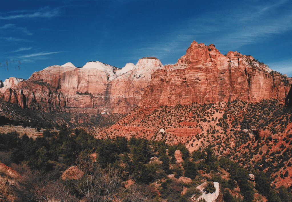
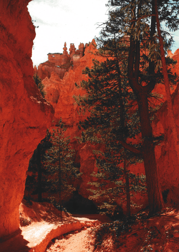
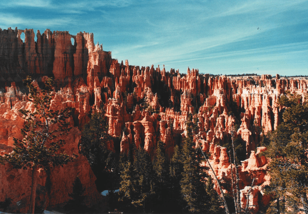
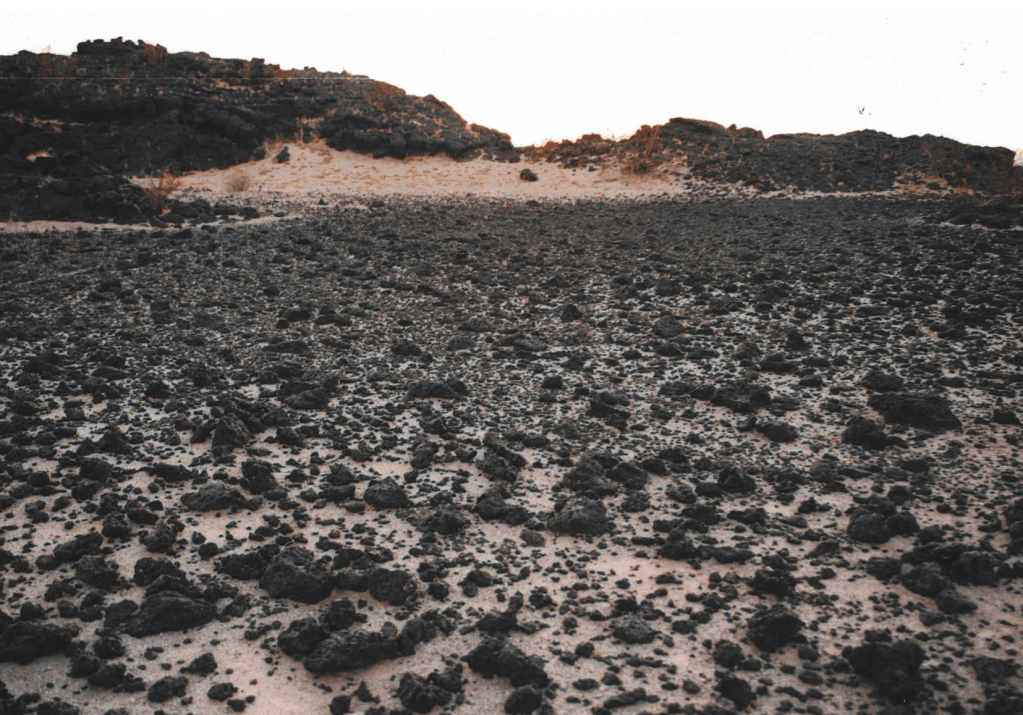
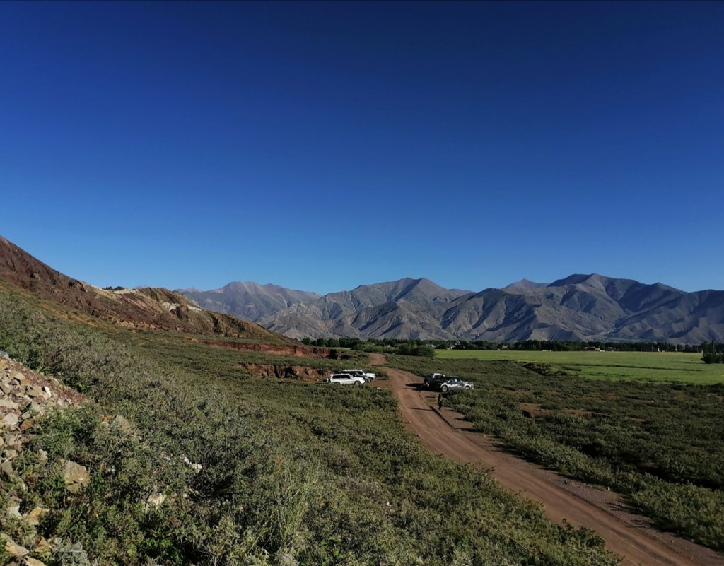
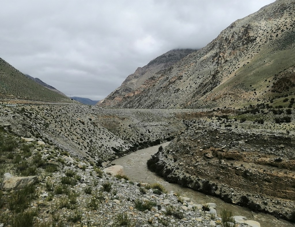
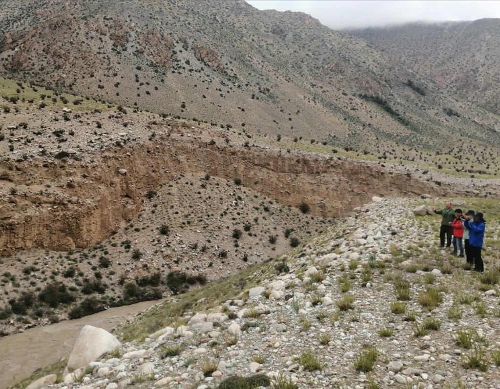
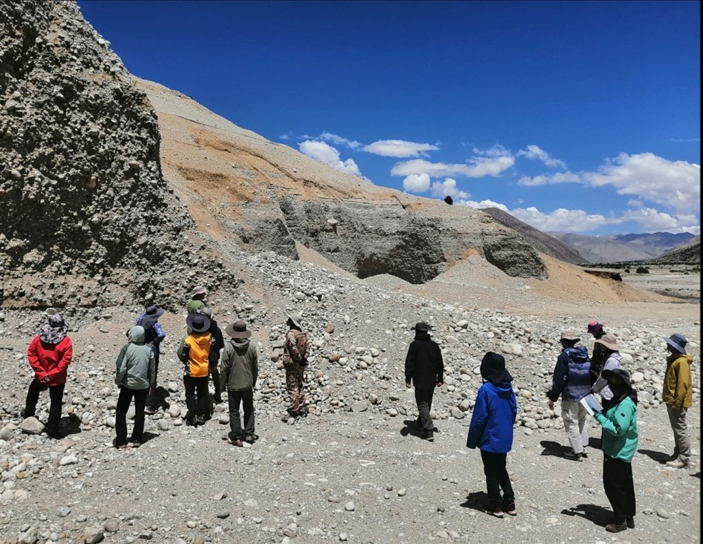
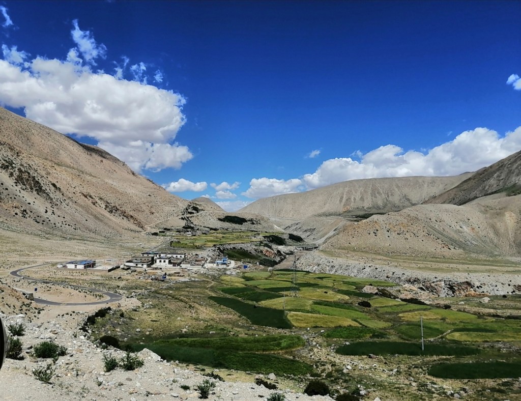
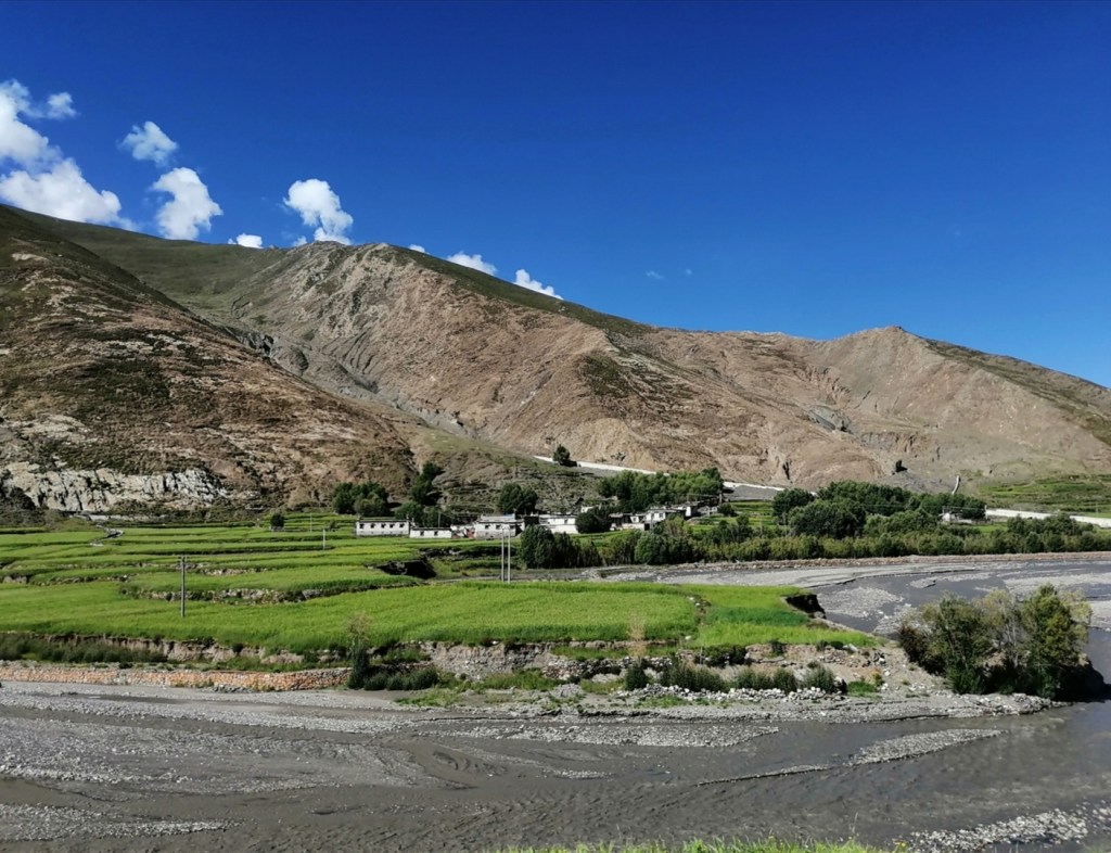
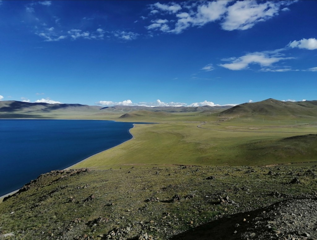
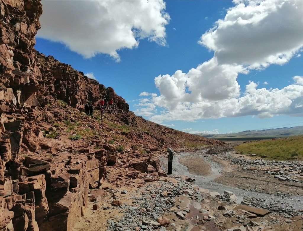
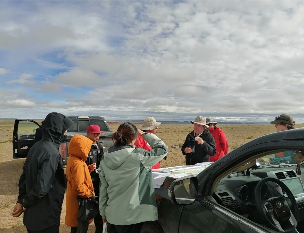
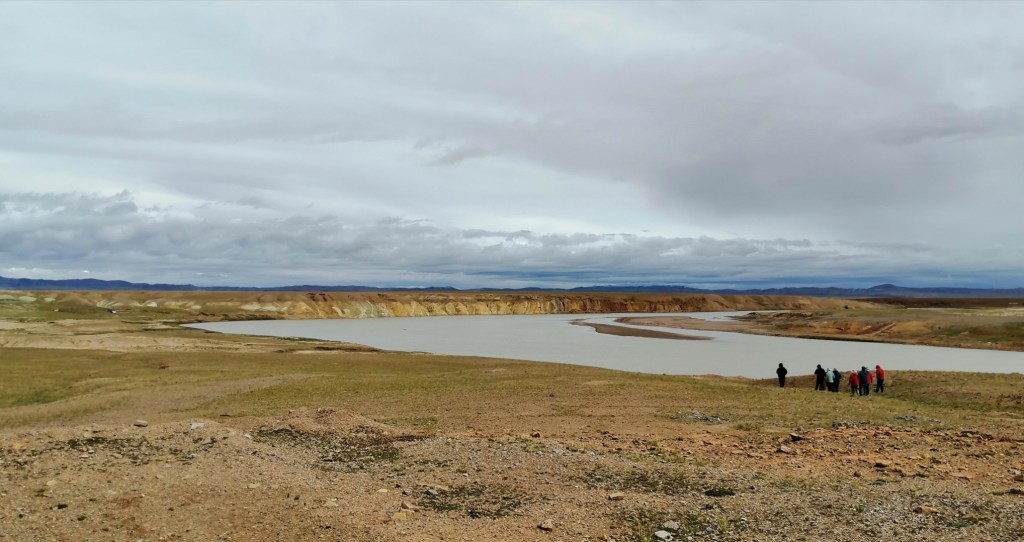
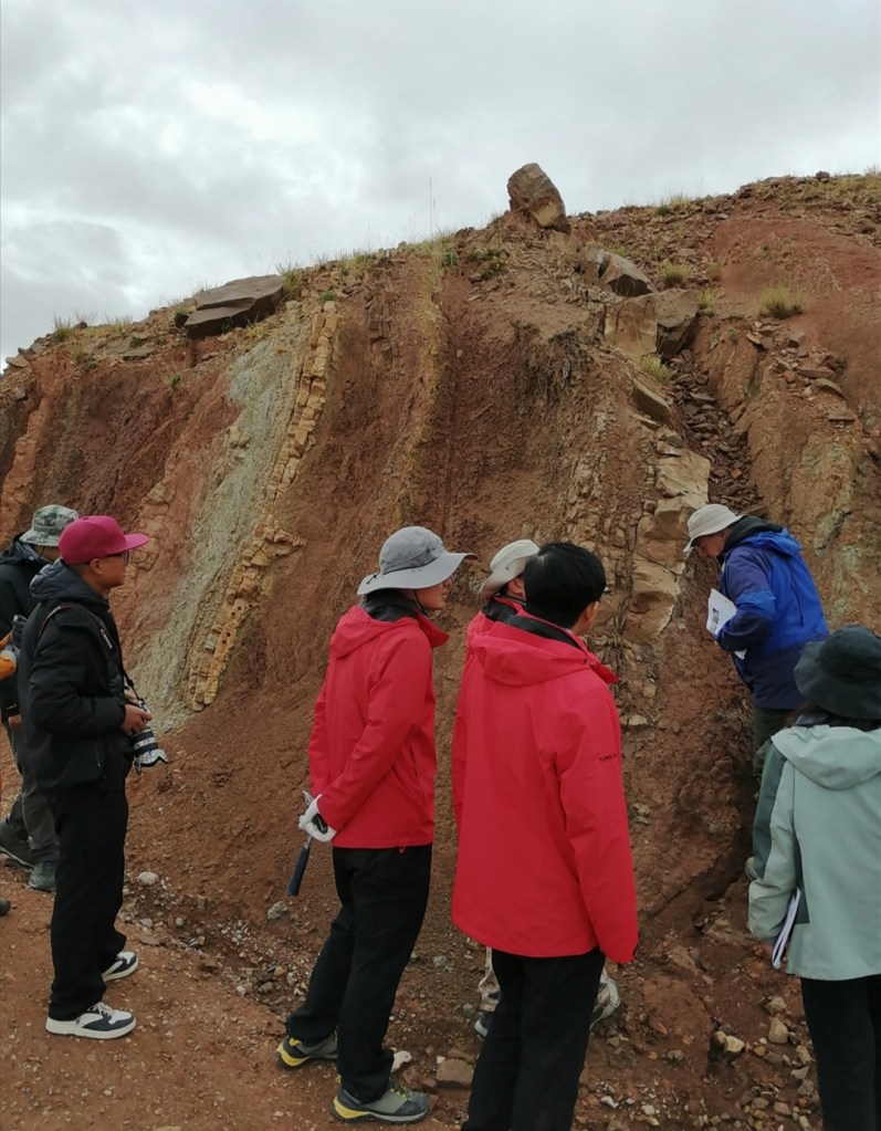
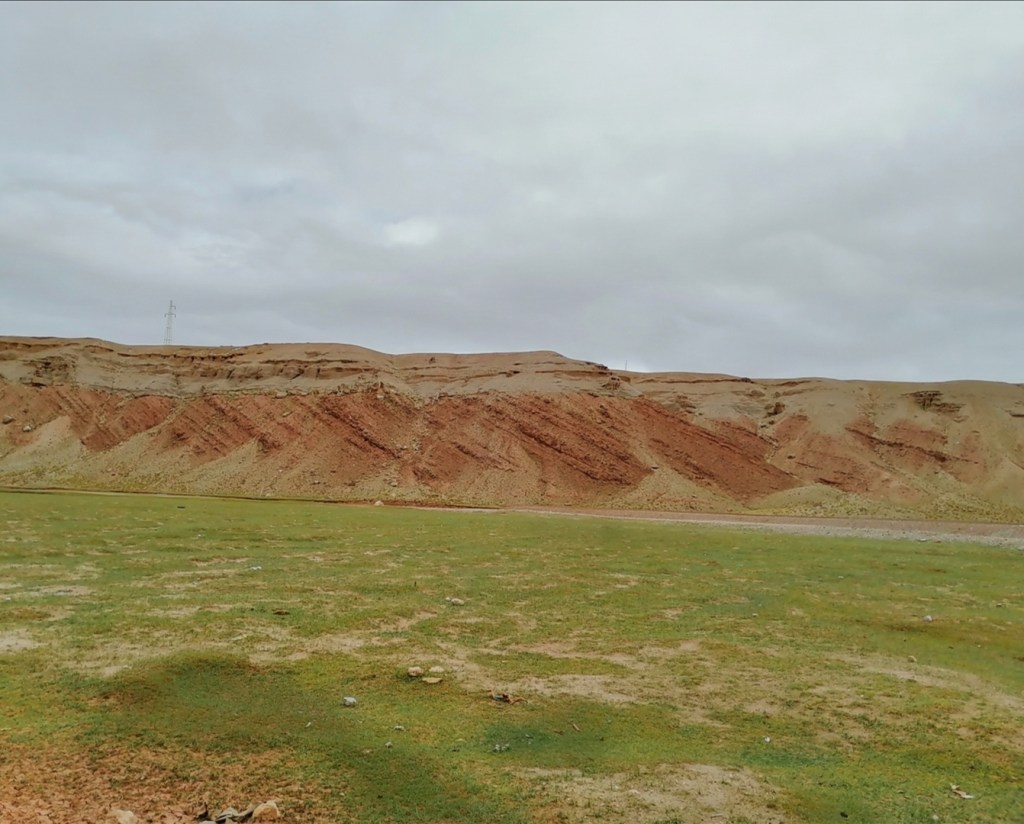
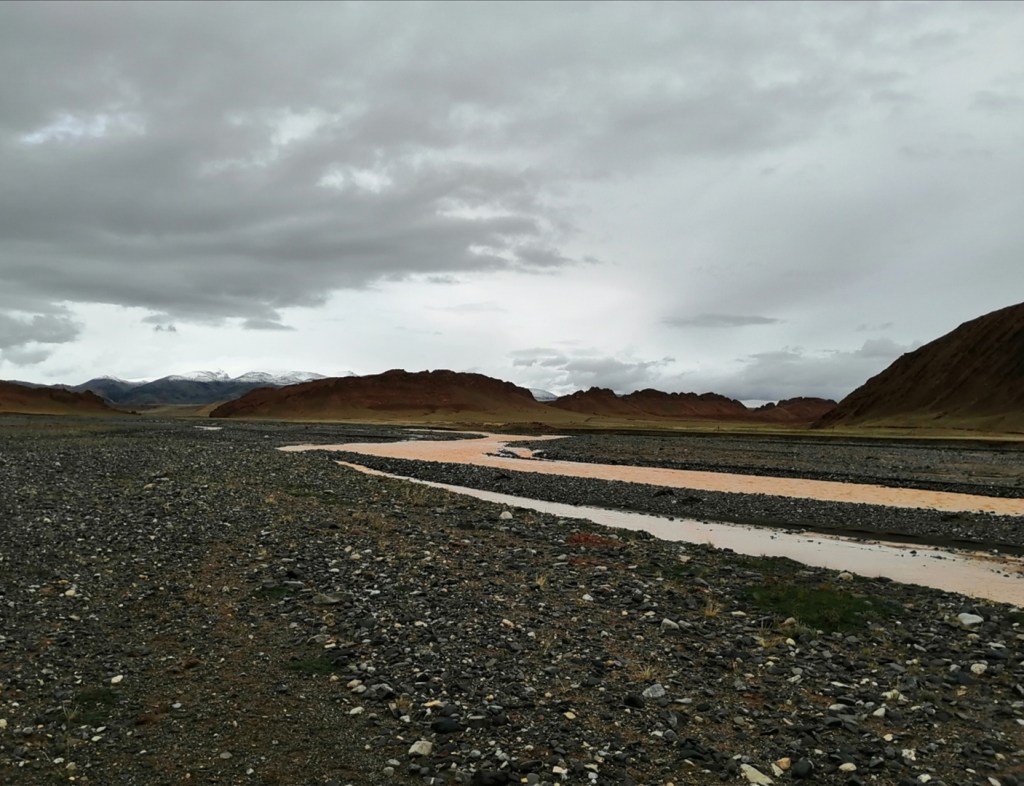
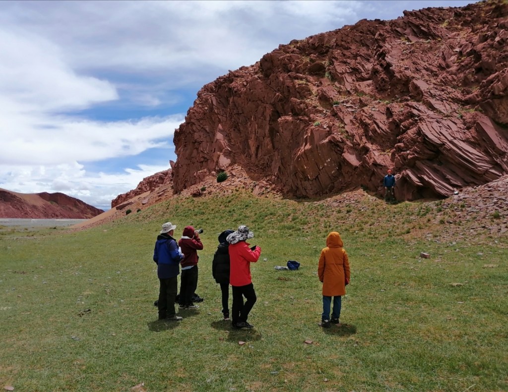
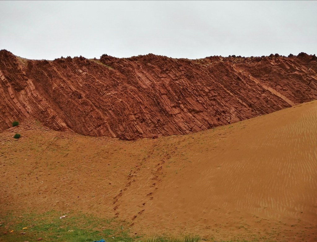
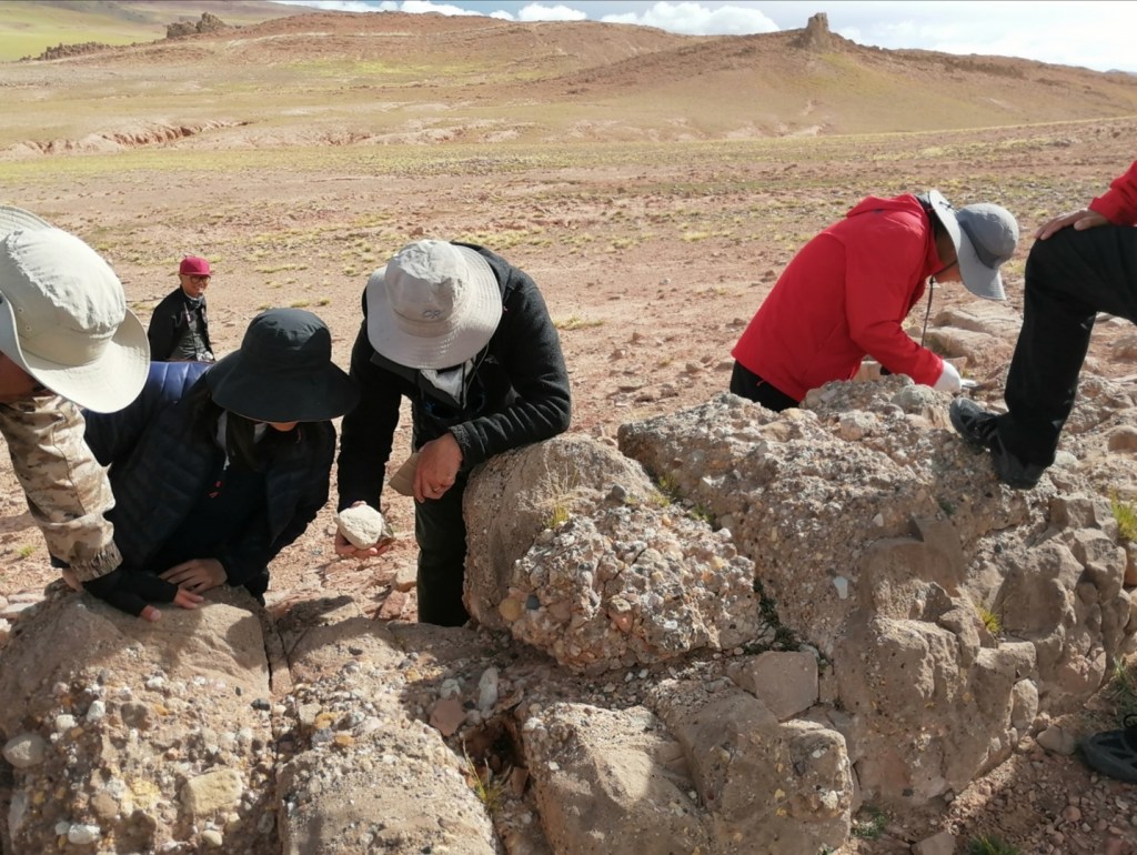
14th August: after a decent night and our first shower, we’re ready to go to work! The aim of today is to go south to the Yarlung River and (1) look for evidence of palaeo-lake Jiedexiu and (2) visit a dune field to better understand the interactions between fluvial and aeolian processes (Yalige Bai’s project). The Yarlung River flows on the Yarlung Tsangpo Suture Zone: to the north, the Gangdese batholith of the Lhasa terrane that belongs to the Asian plate; to the south, the triassic flysch of the Tethyan Series that belong to the Indian plate. It’s amazing to see this major plate boundary that I first heard of in 1994 in a fascinating lecture by Prof. J.-F. Stephan at Nice University!
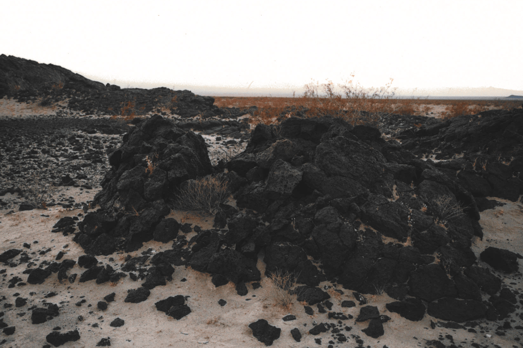
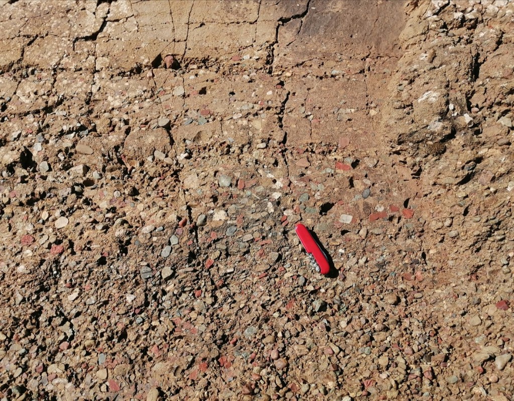
The Jiedexiu lake was a glacially dammed lake that existed 15 to 11 ka, West (upstream) of the more studied Gega dam lake. We look at the palaeo-lake deposits and discuss evidence of water level fluctuations, delta progradation episodes, and interaction with sediment sourced from hillslopes and tributaries. I see for the first time a massive mud deposit with an erosive base, with sandstone underneath (it is usually the other way around).
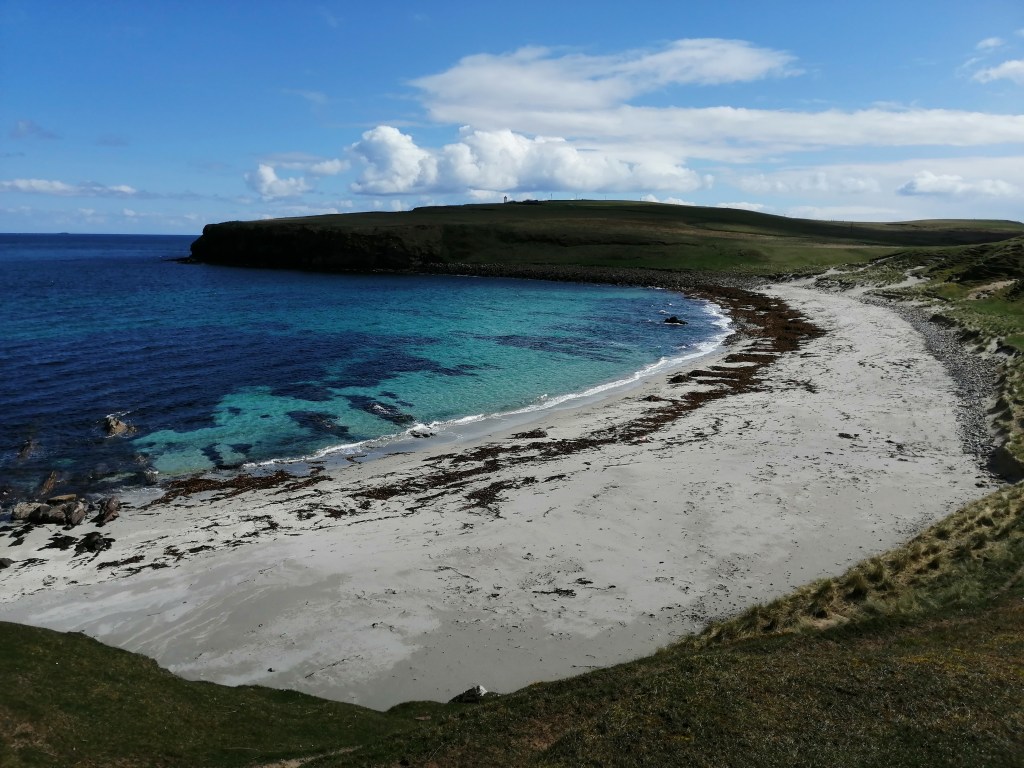
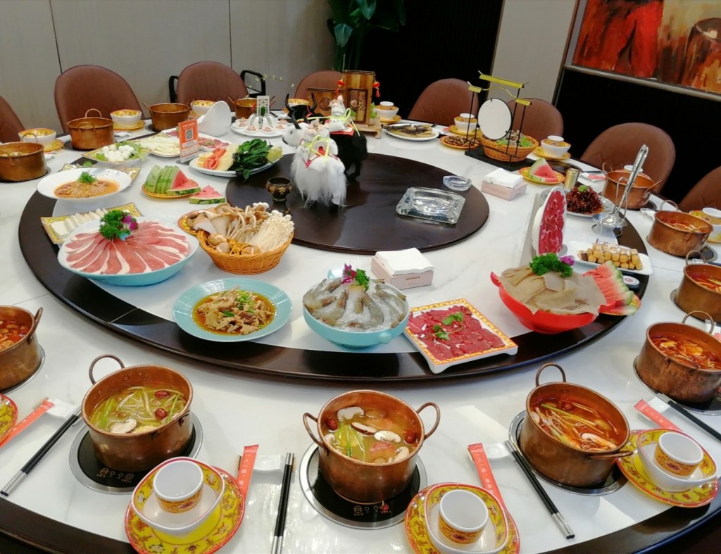
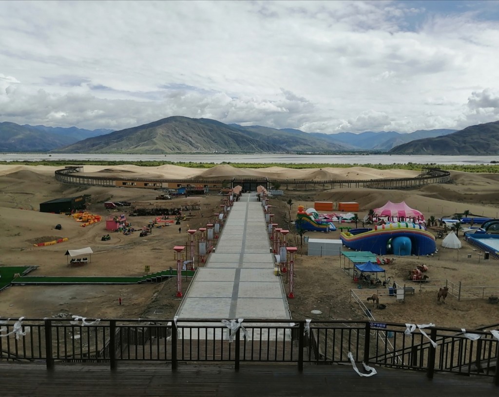
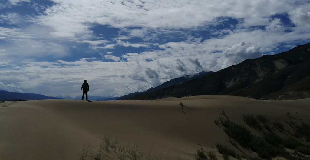
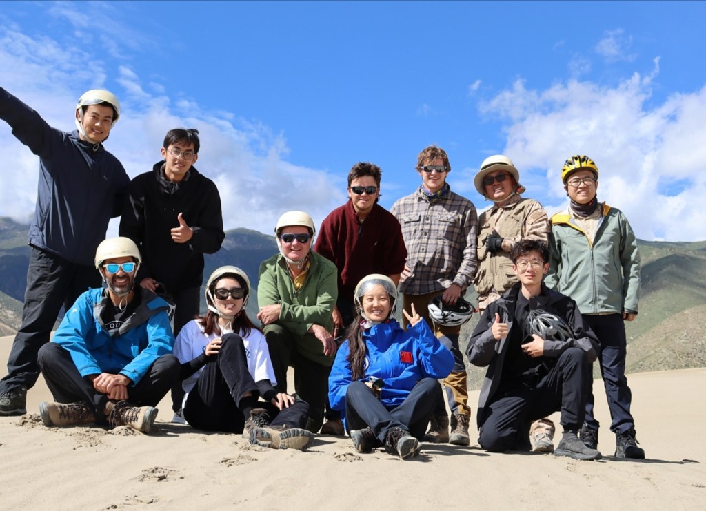
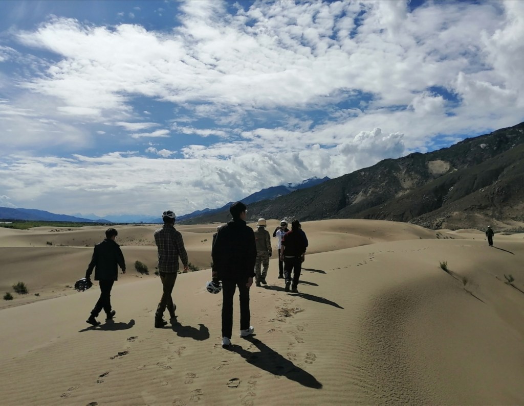
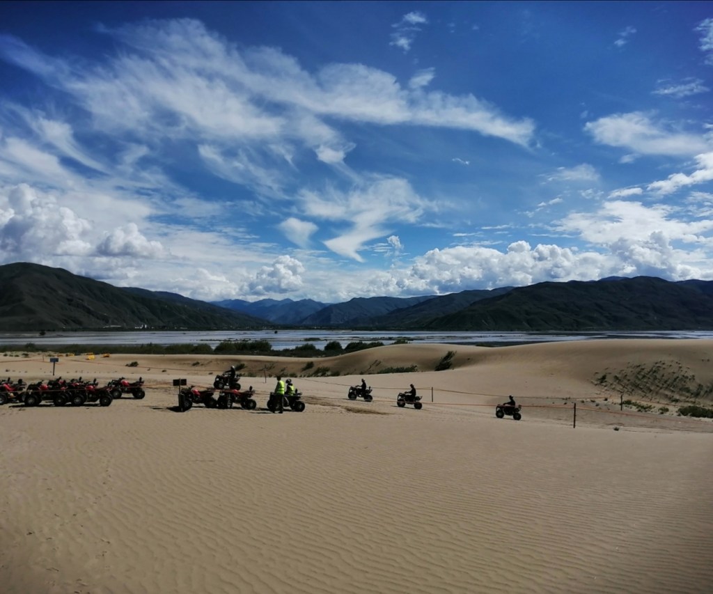
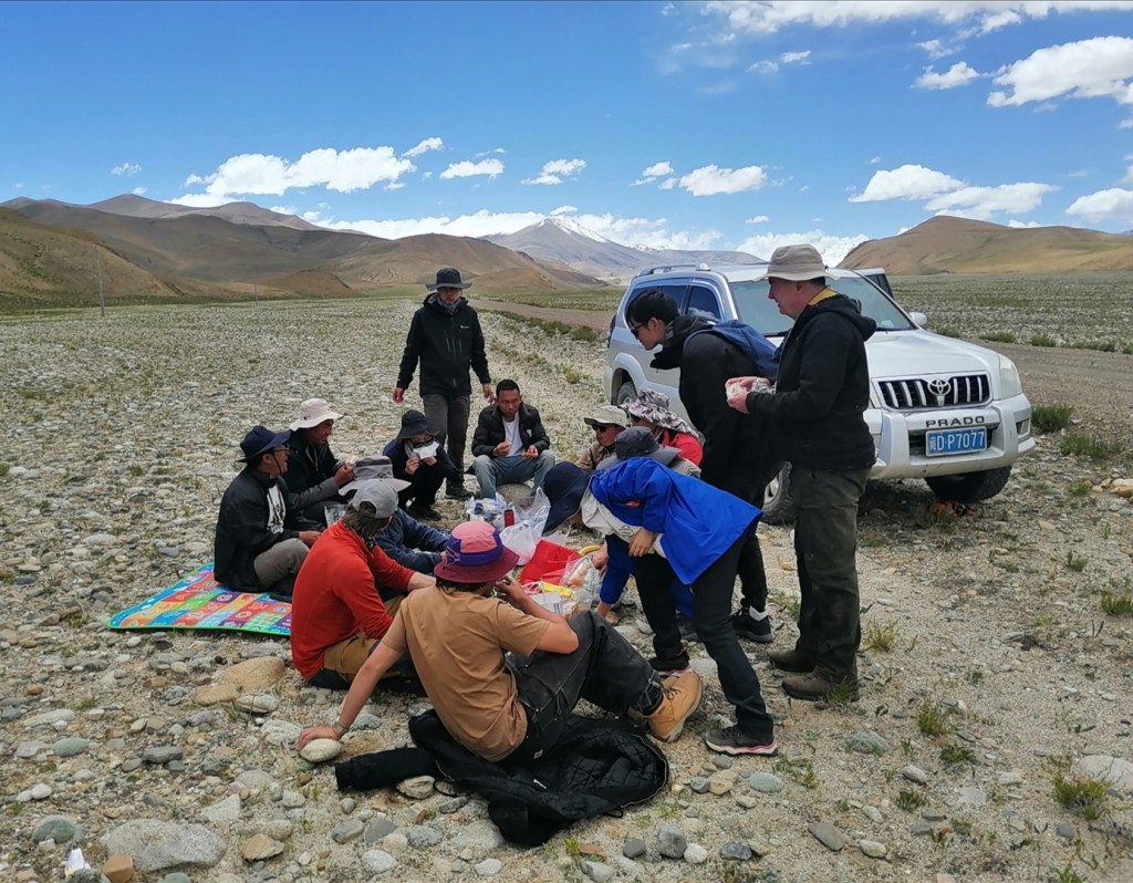
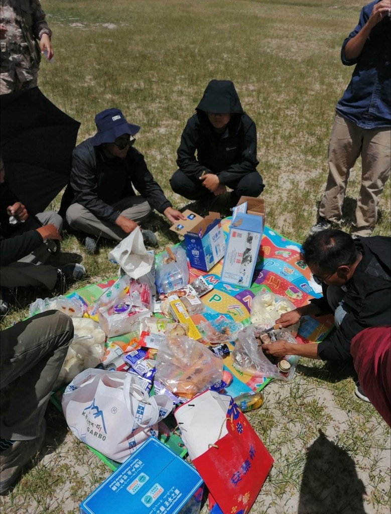
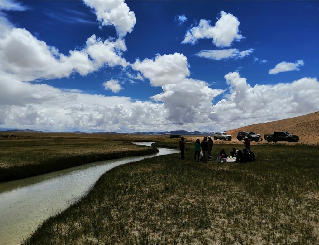
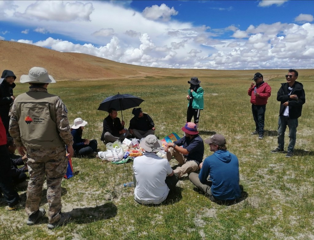
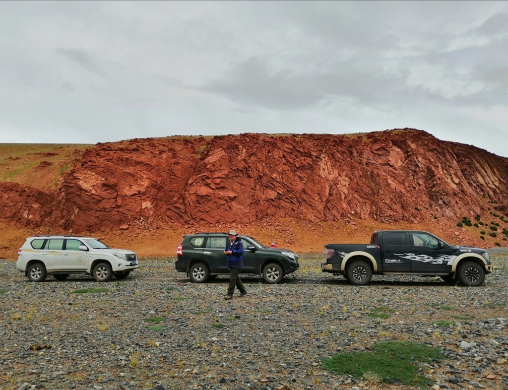
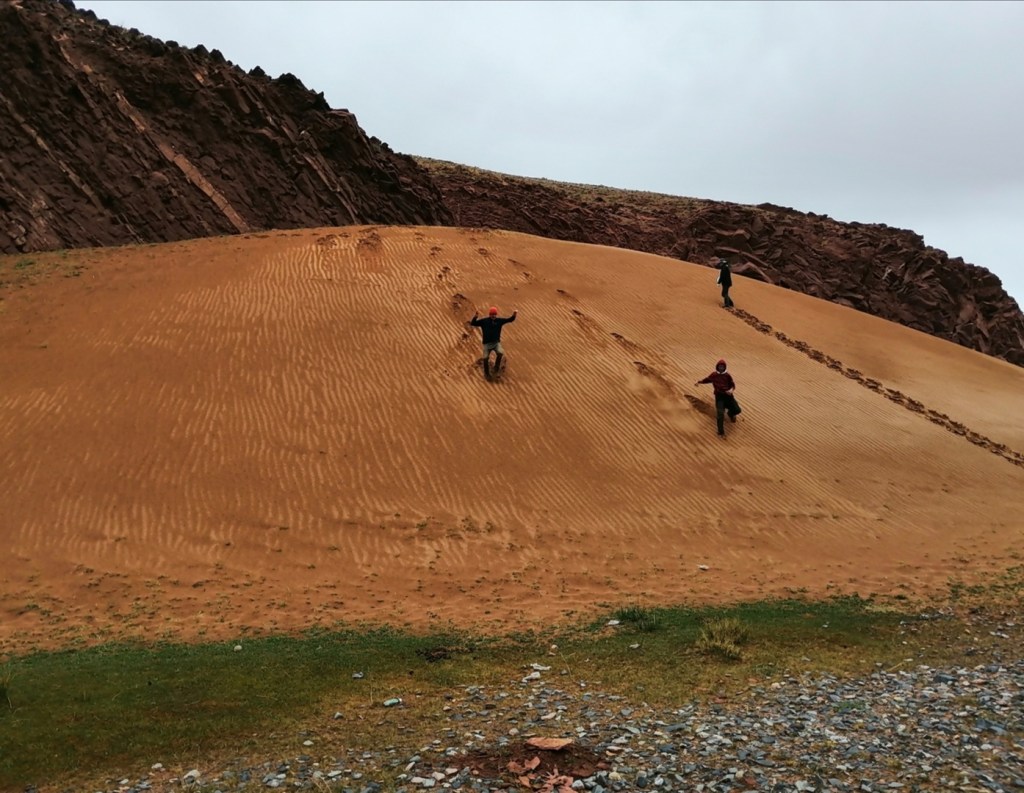
We have lunch in a small town on the south side of the river, then cross the river and go to a dune field that has become a theme park. Field work on quad bike is a first, and something we all thoroughly enjoyed! We then get back to Lhasa, have a mushroom hotpot as well as a birthday cake for Zhihang who will start his master in Edinburgh next month, and return to the hotel for early packing. Tomorrow we leave at 9:30 for Shigatse.


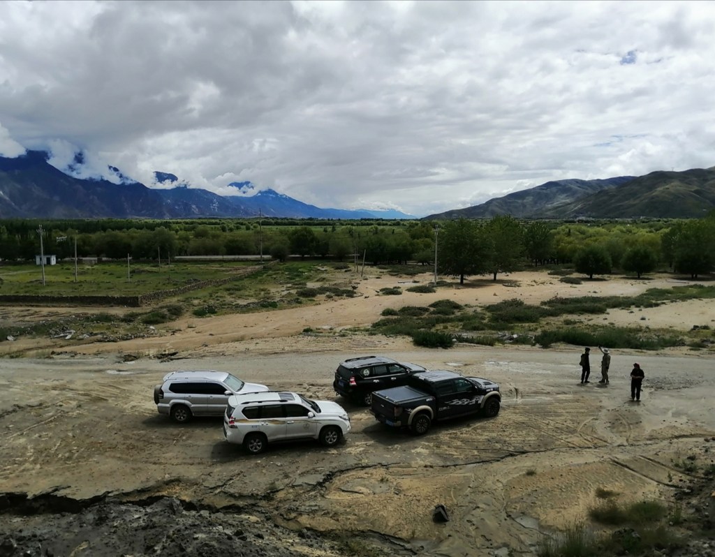


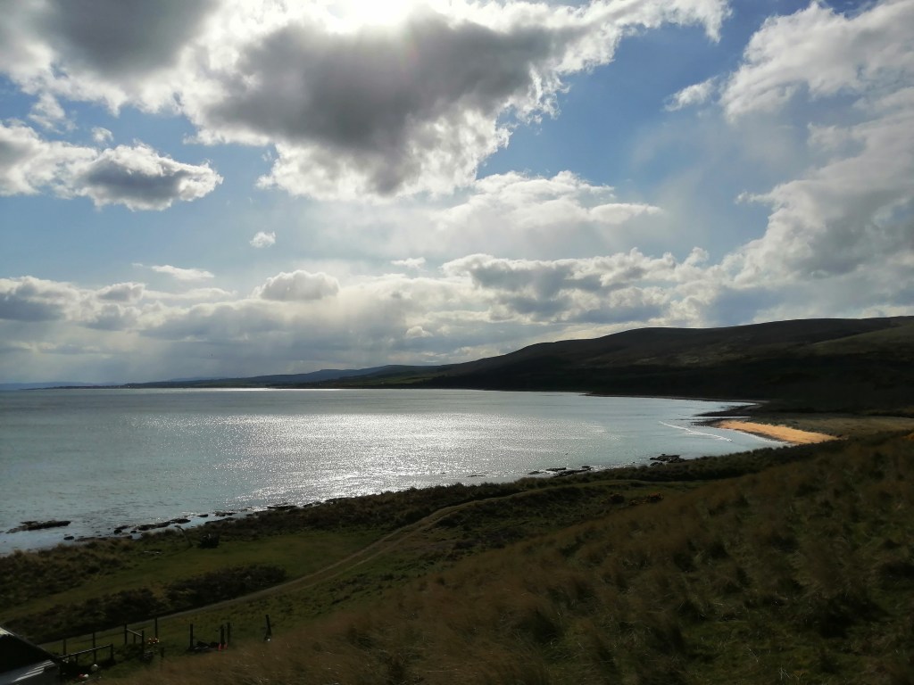
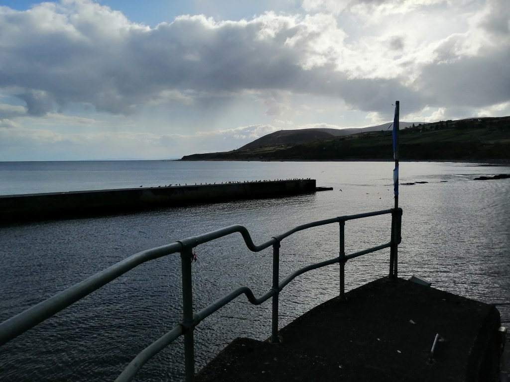
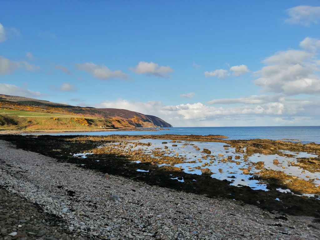
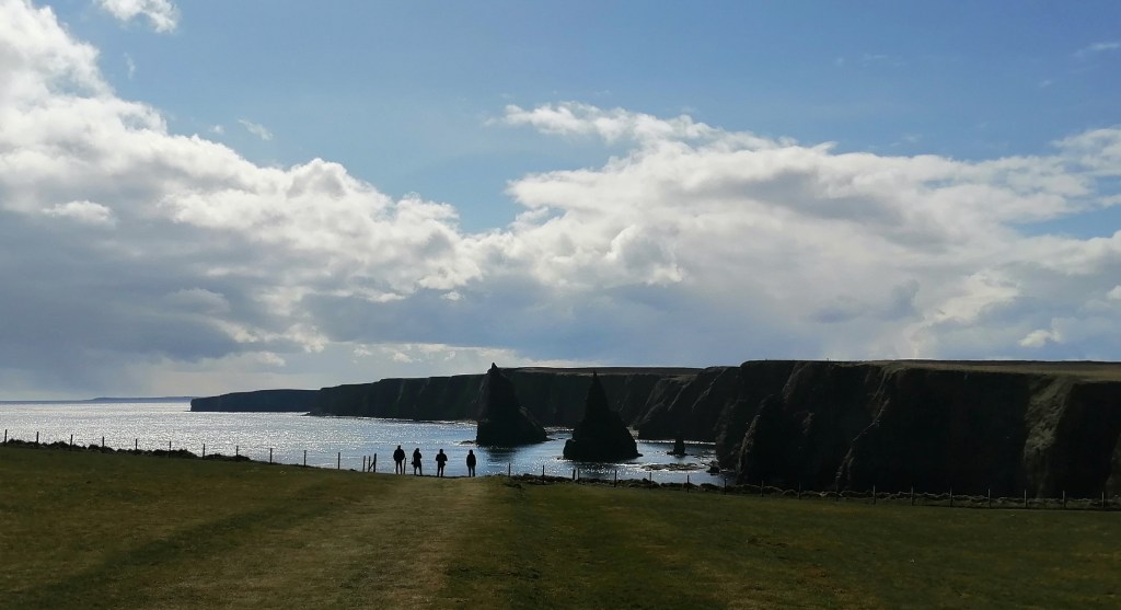
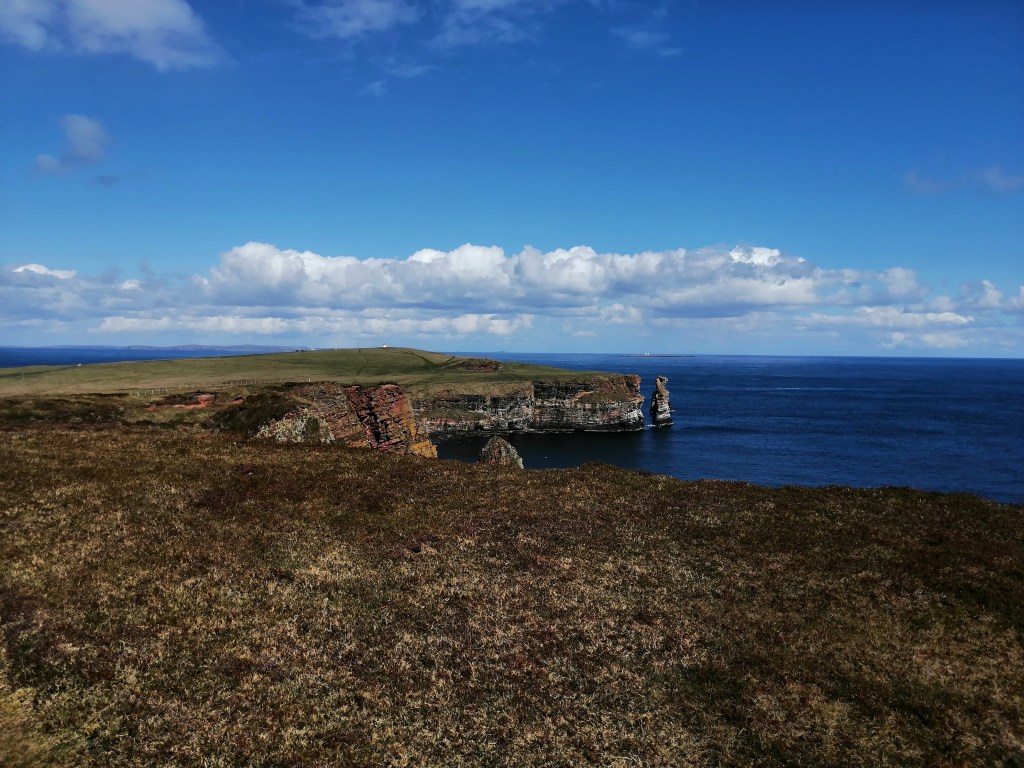
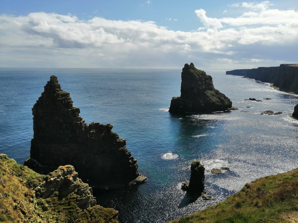
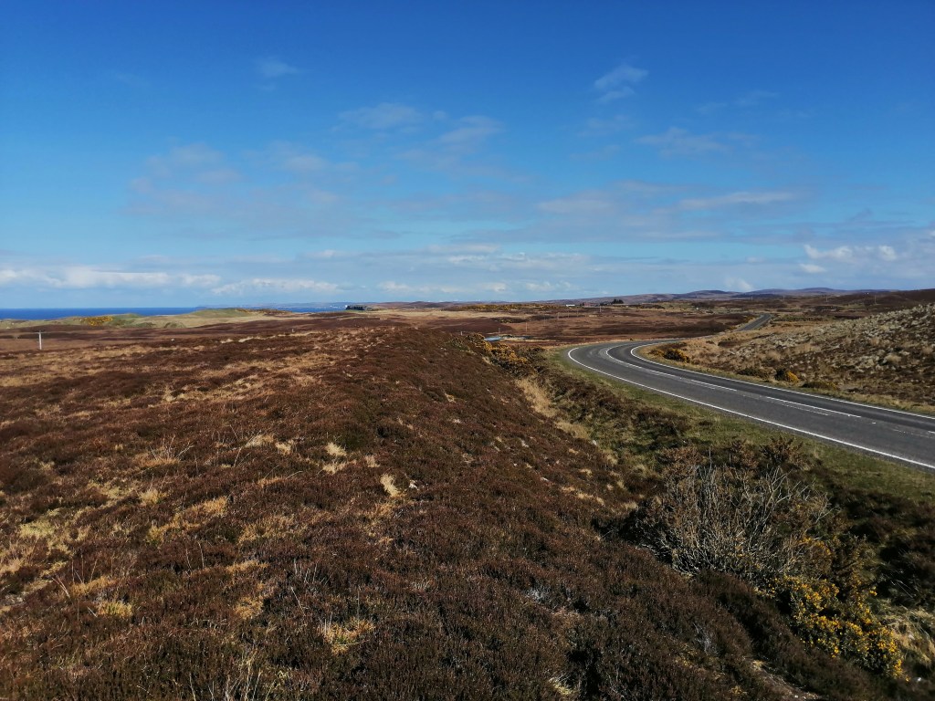
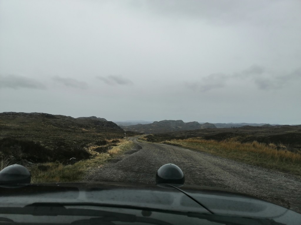
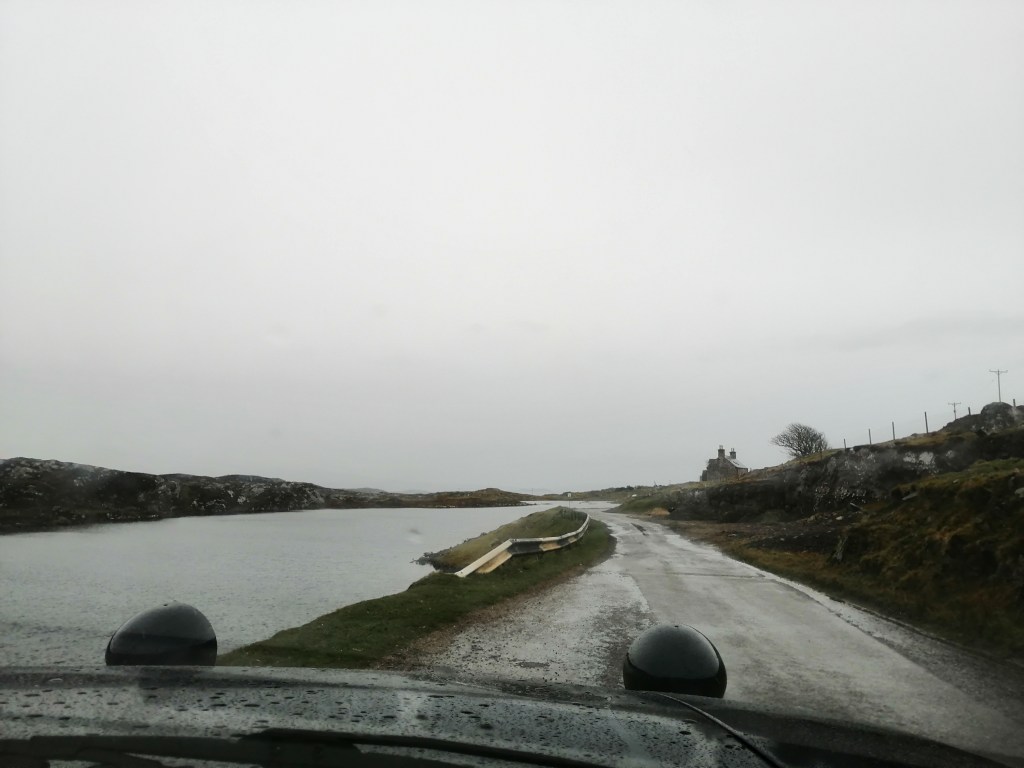
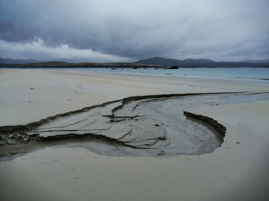
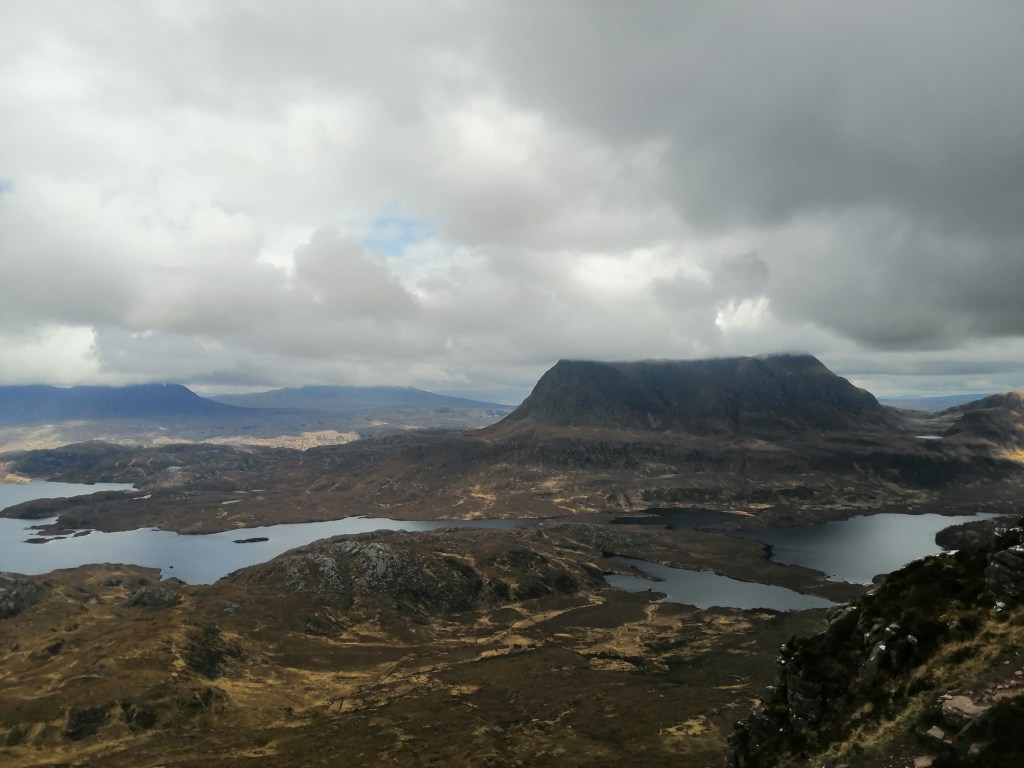
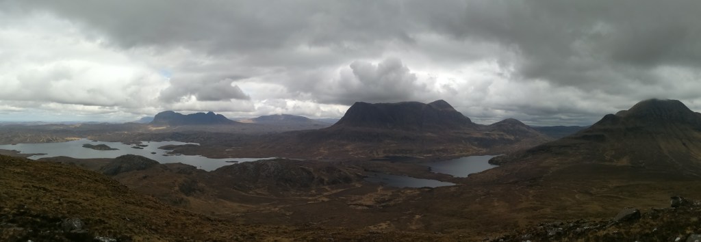
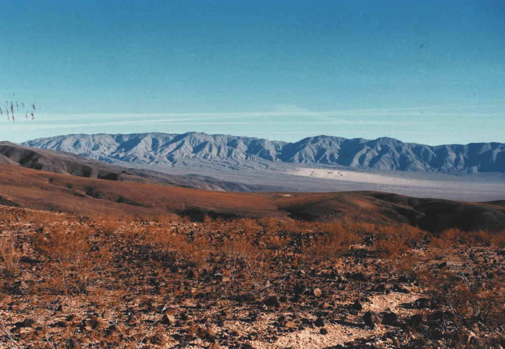
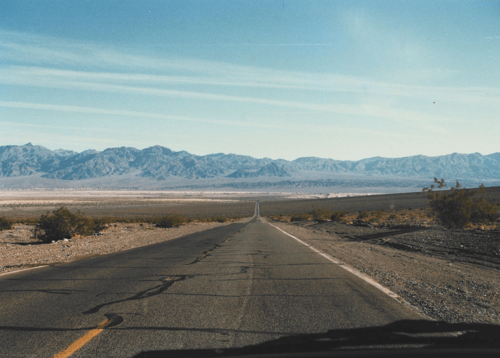
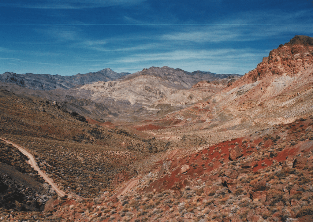
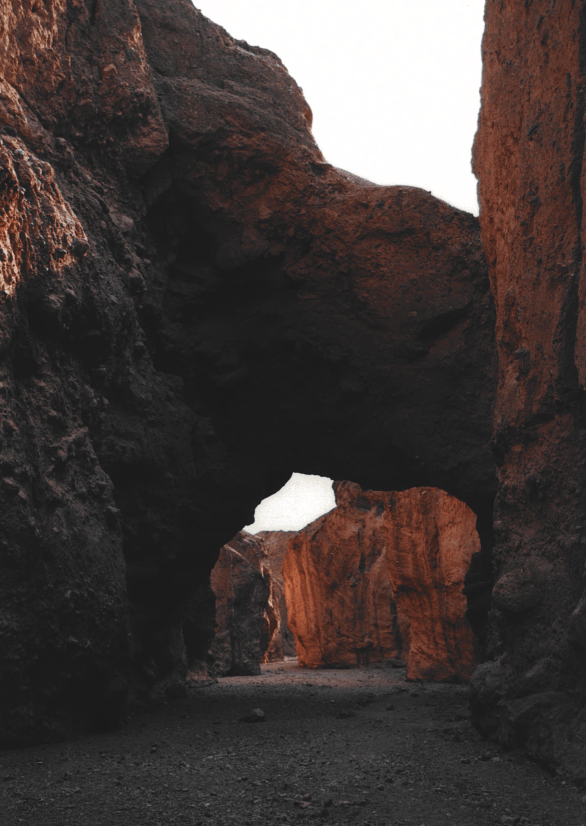
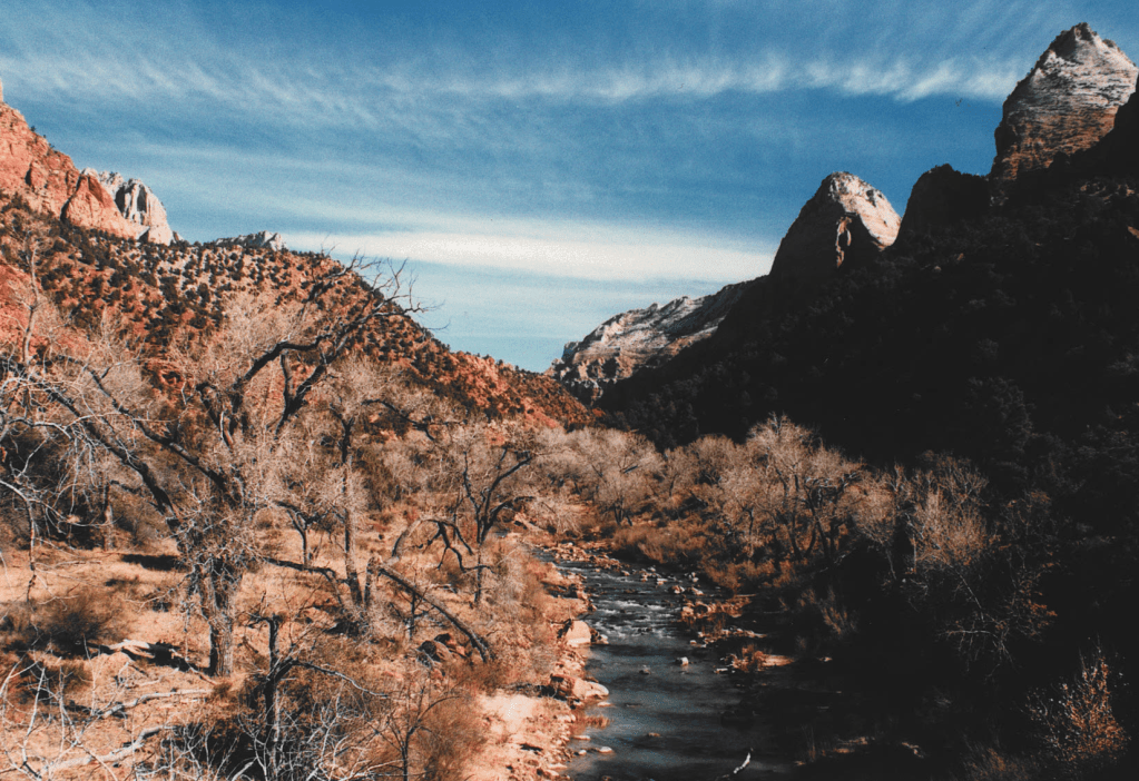
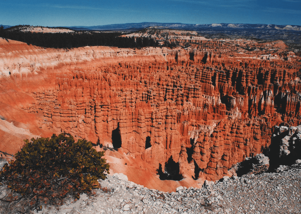
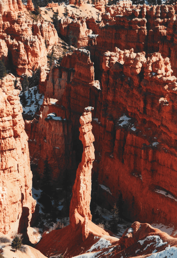
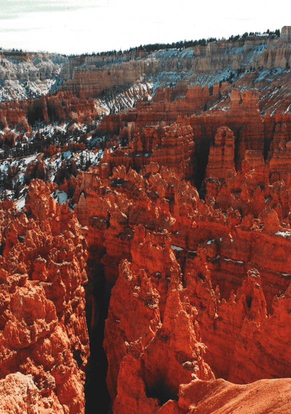
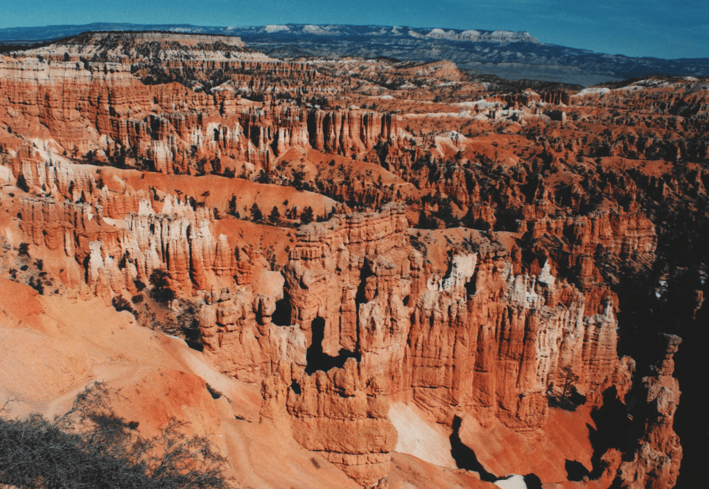
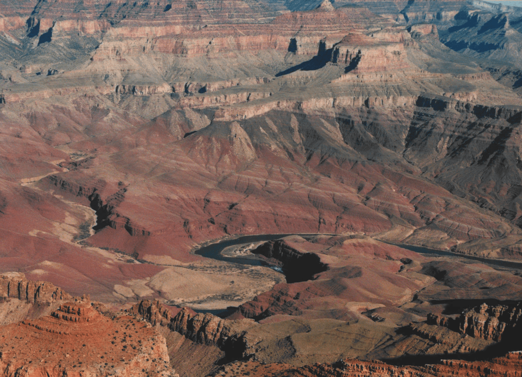
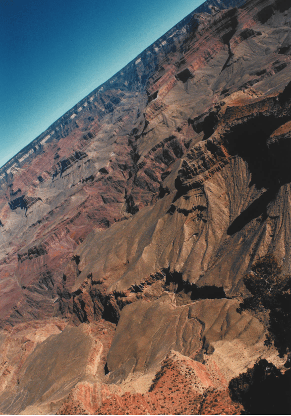
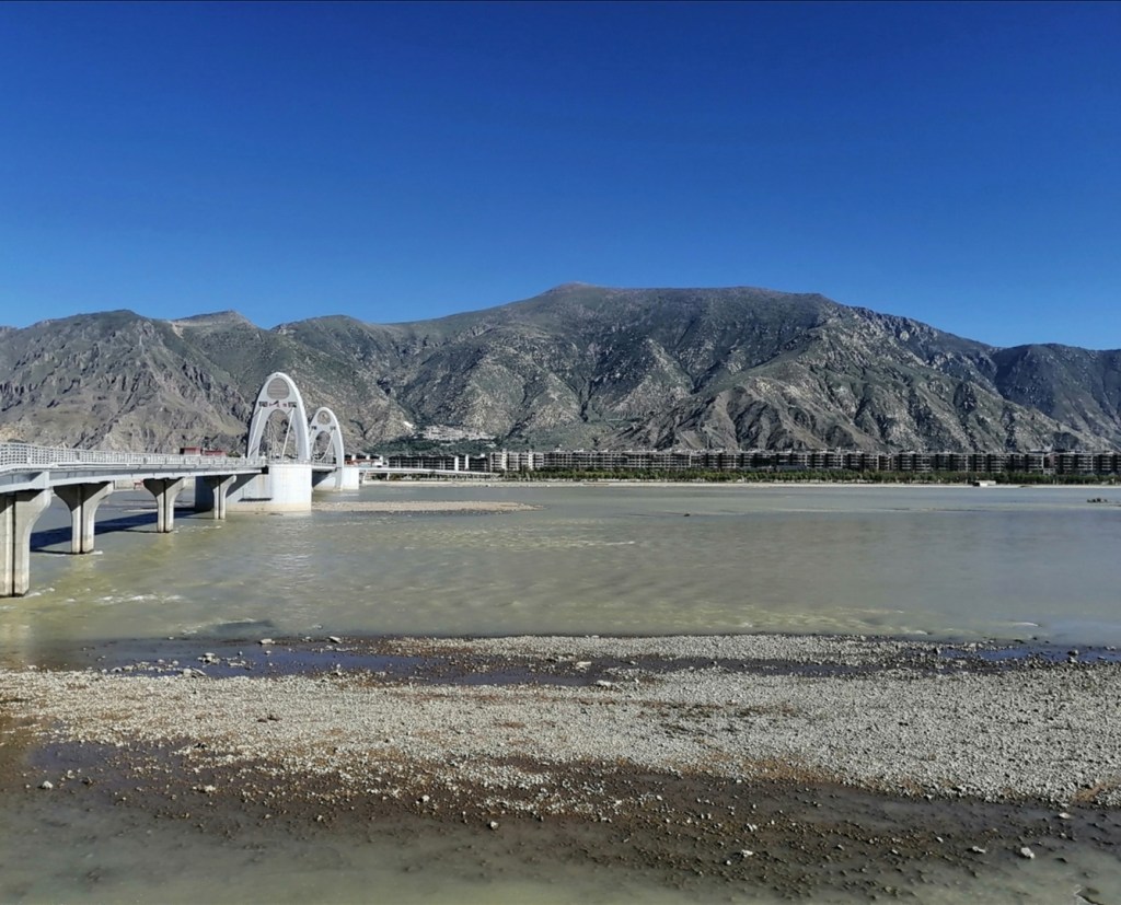
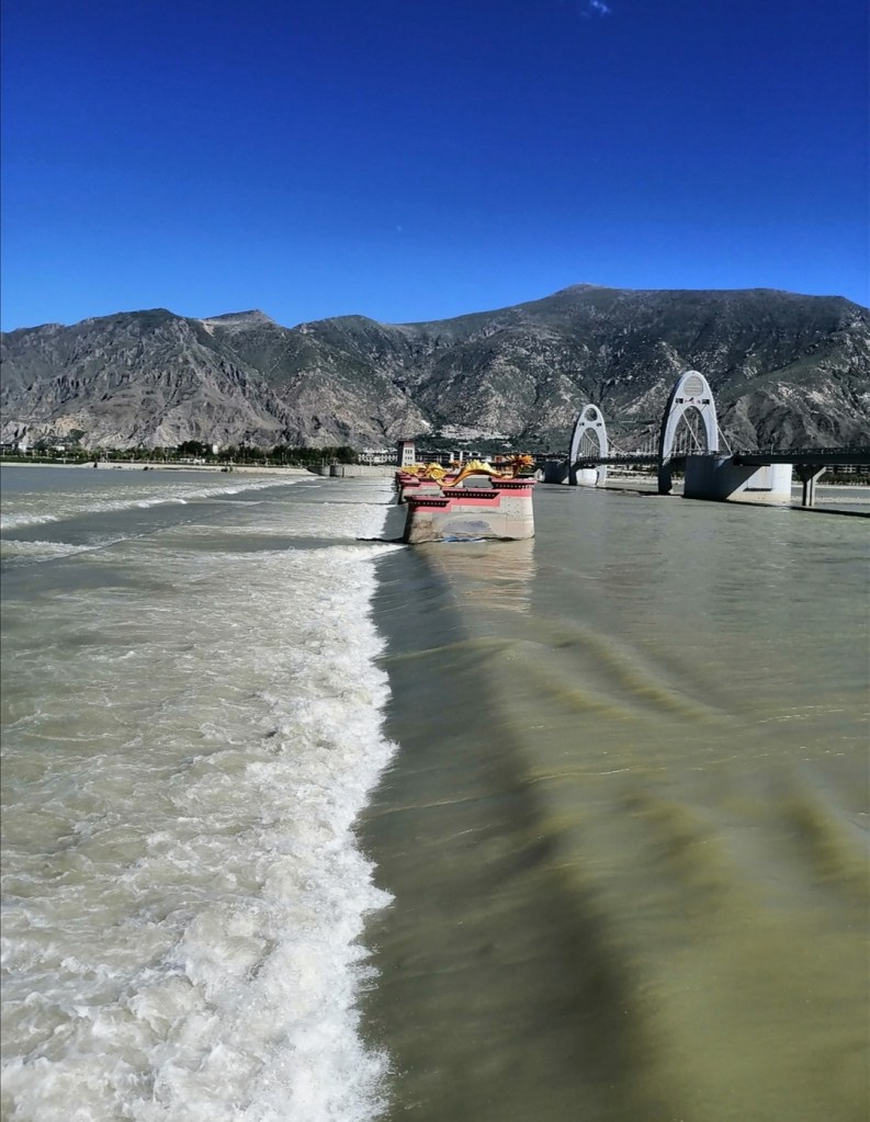
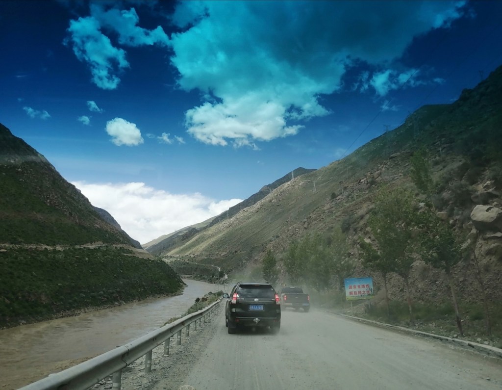
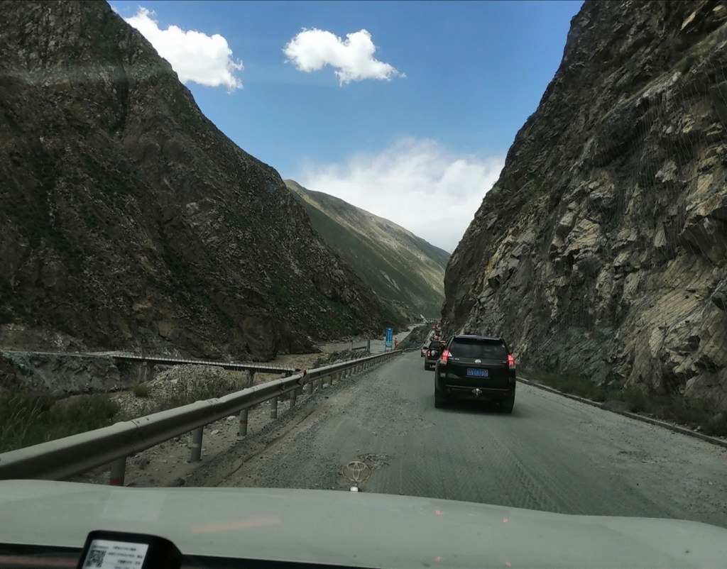
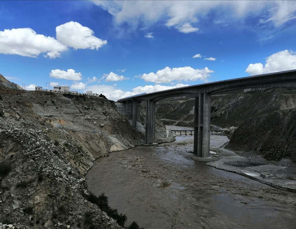
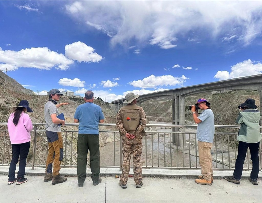
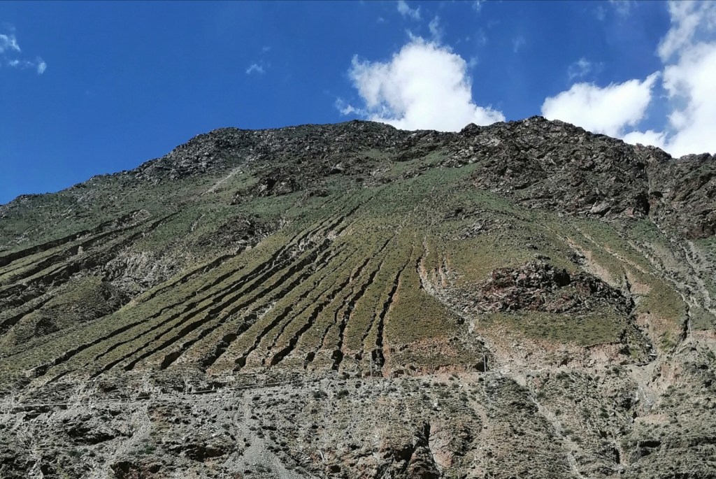
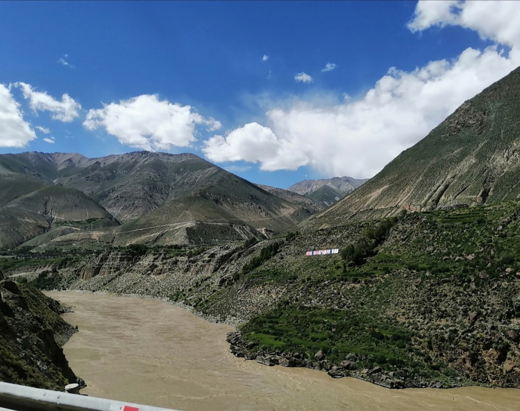
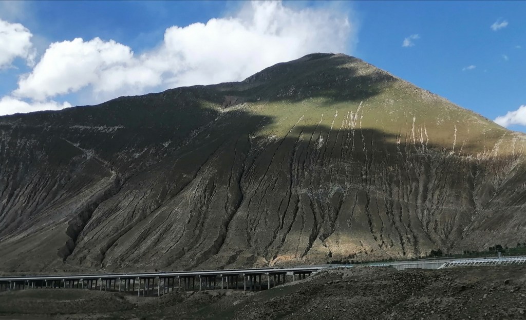
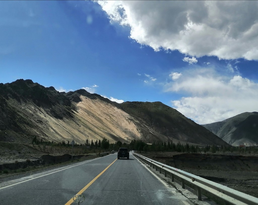
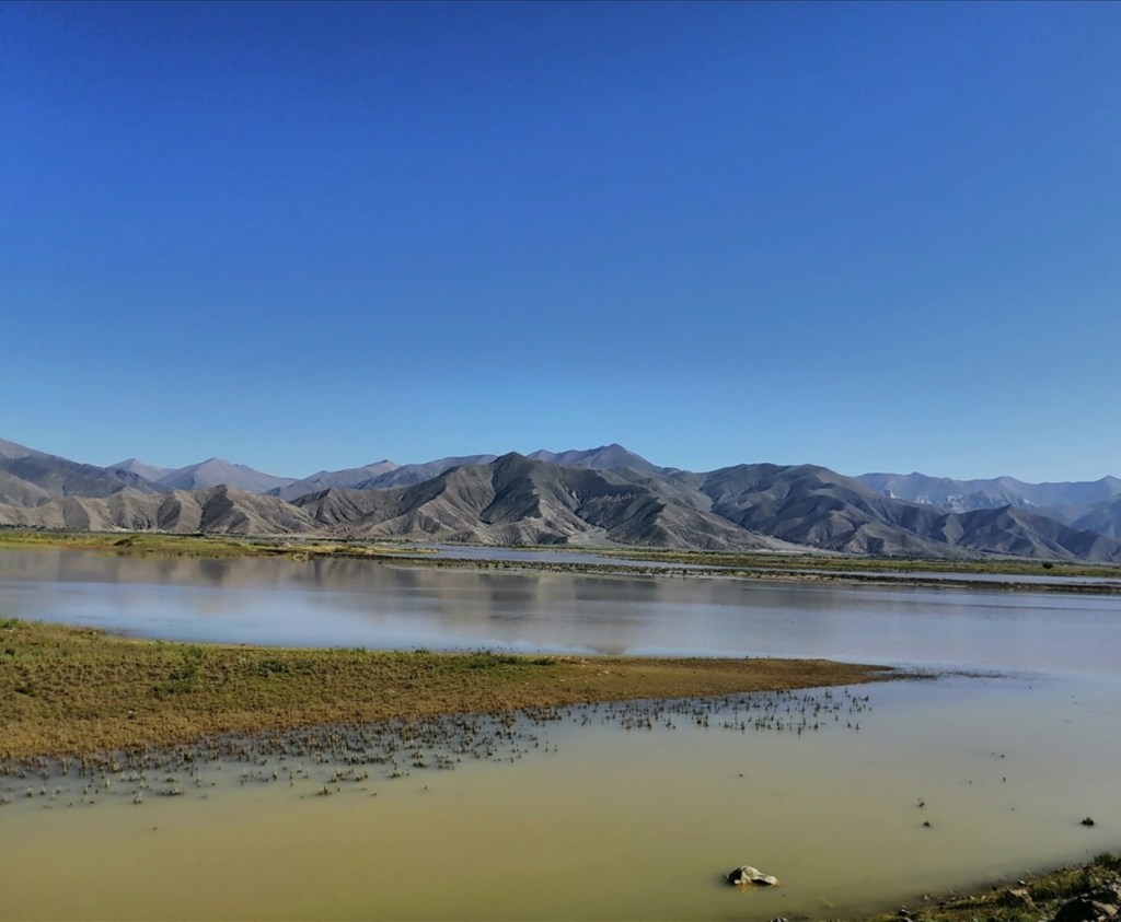
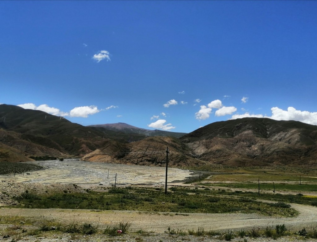
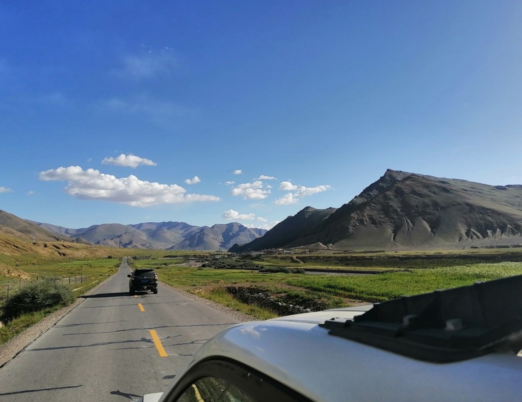
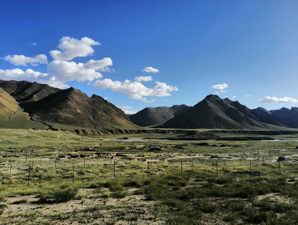
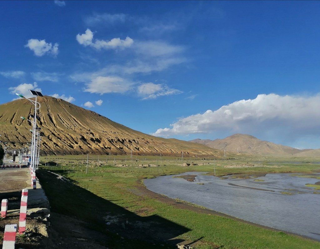
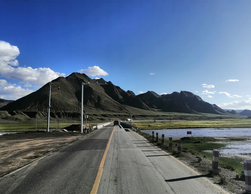
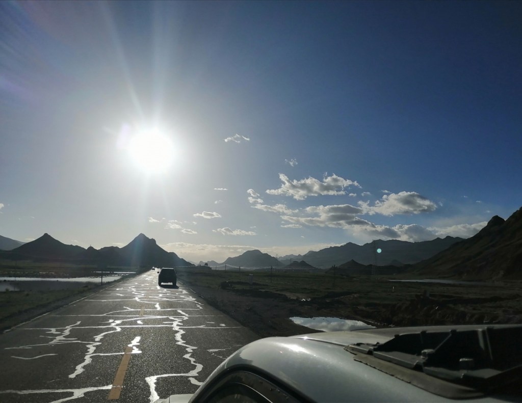
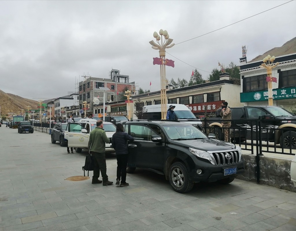
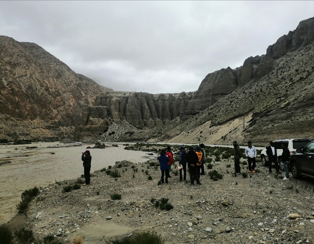
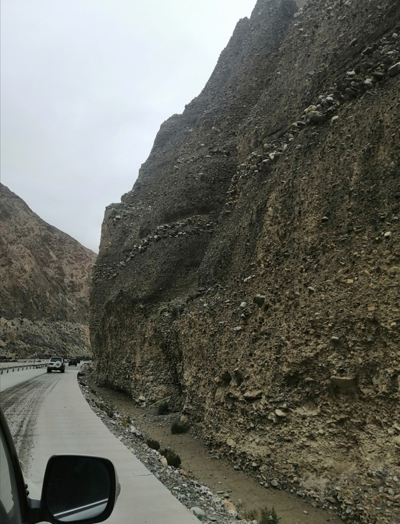
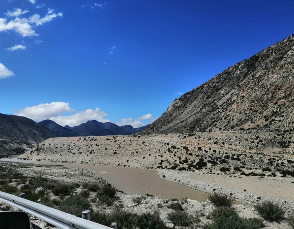
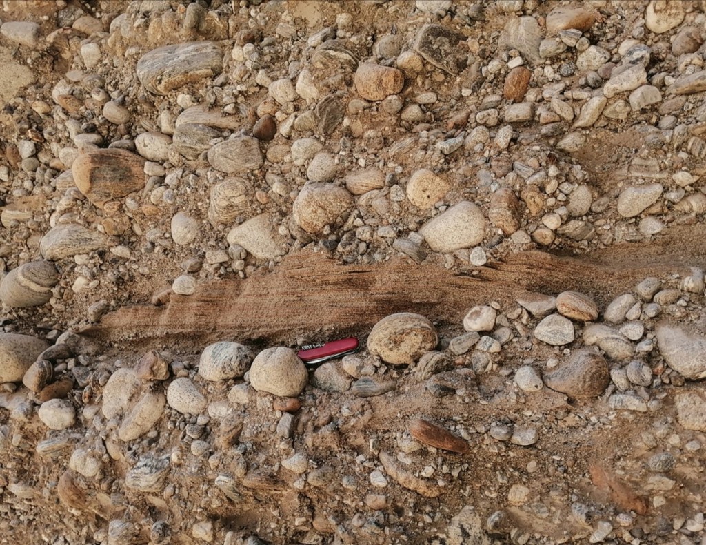
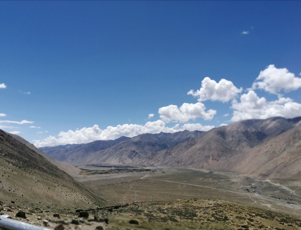
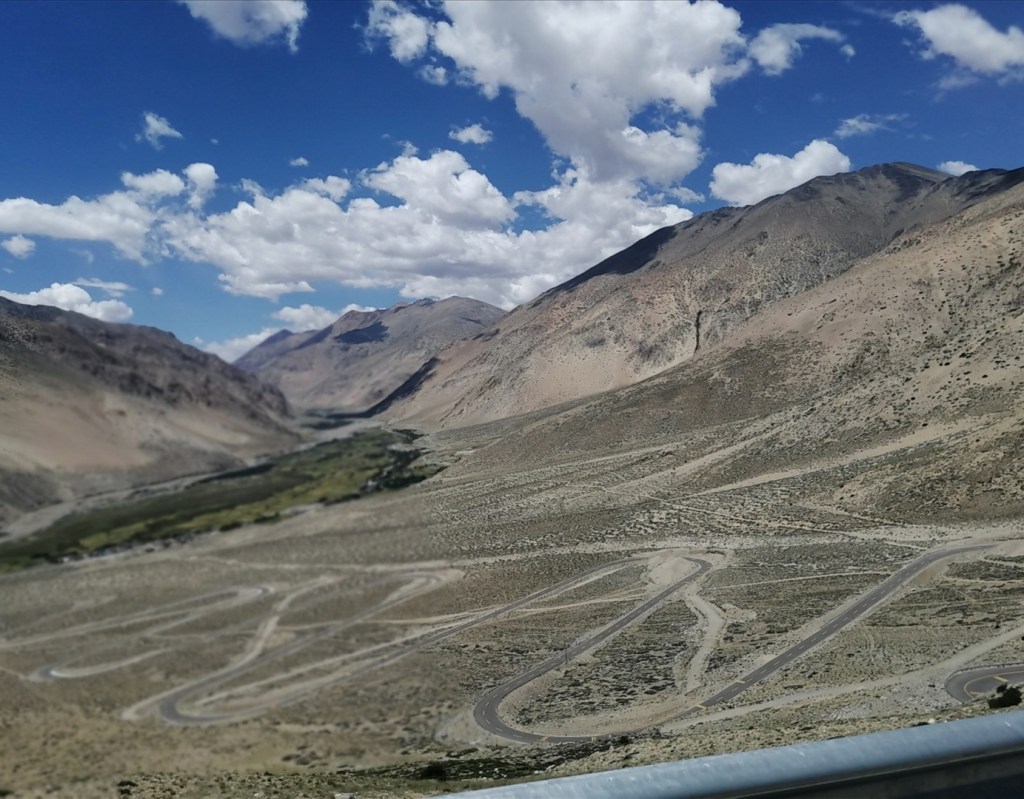
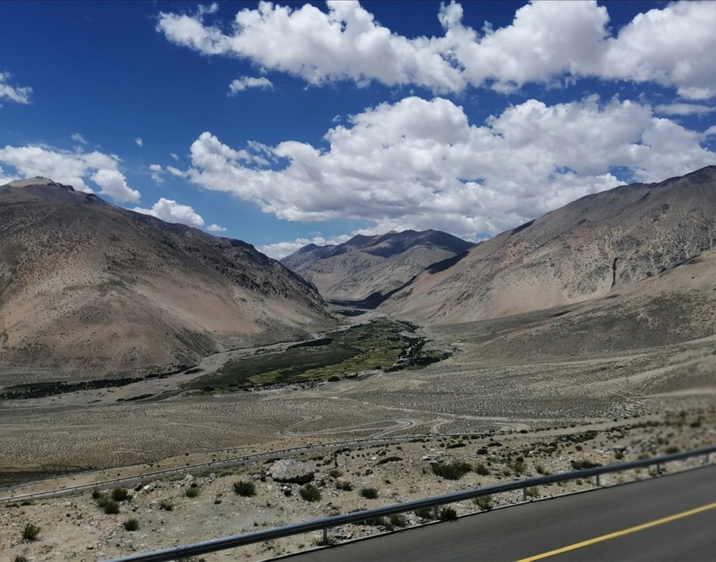
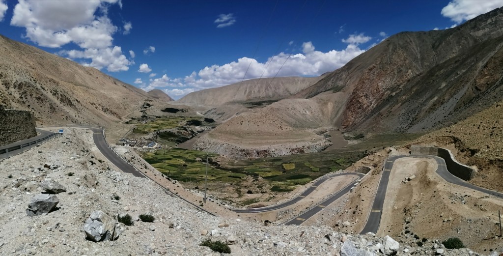
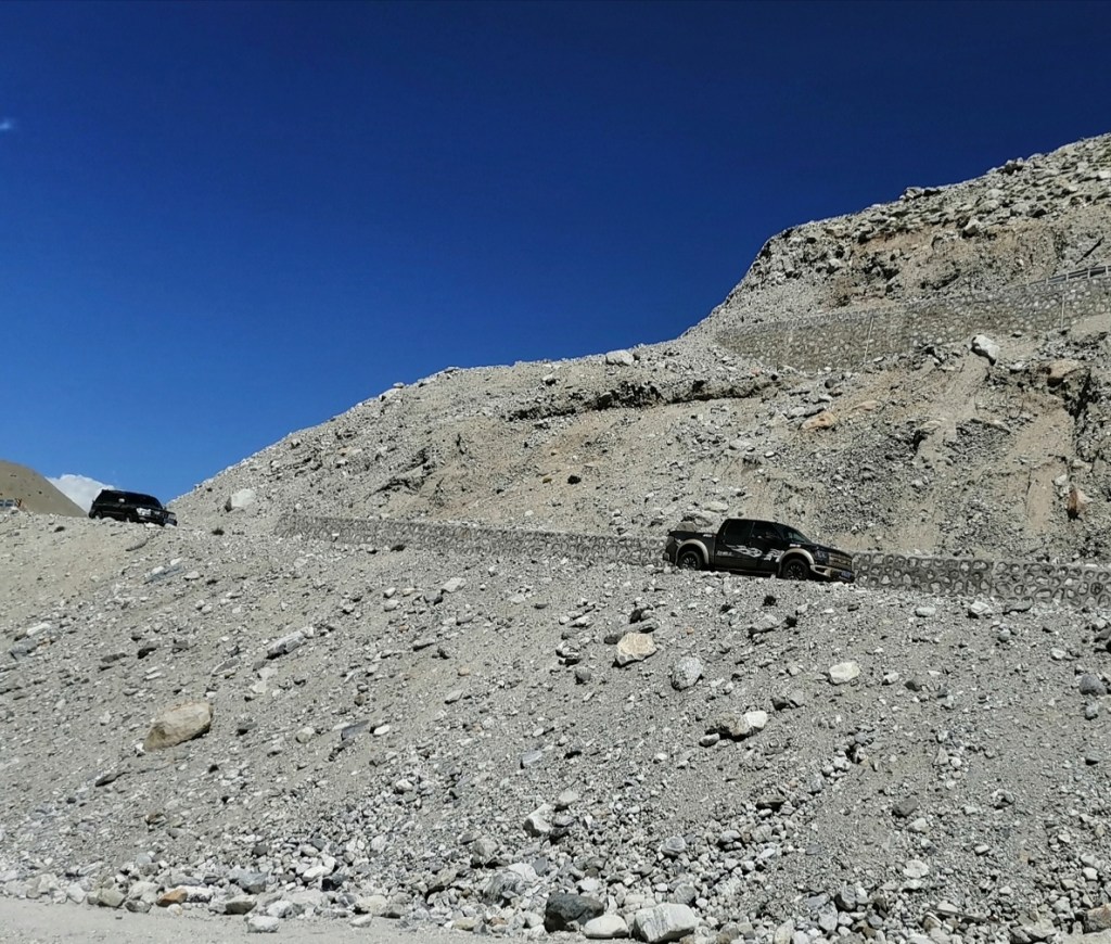
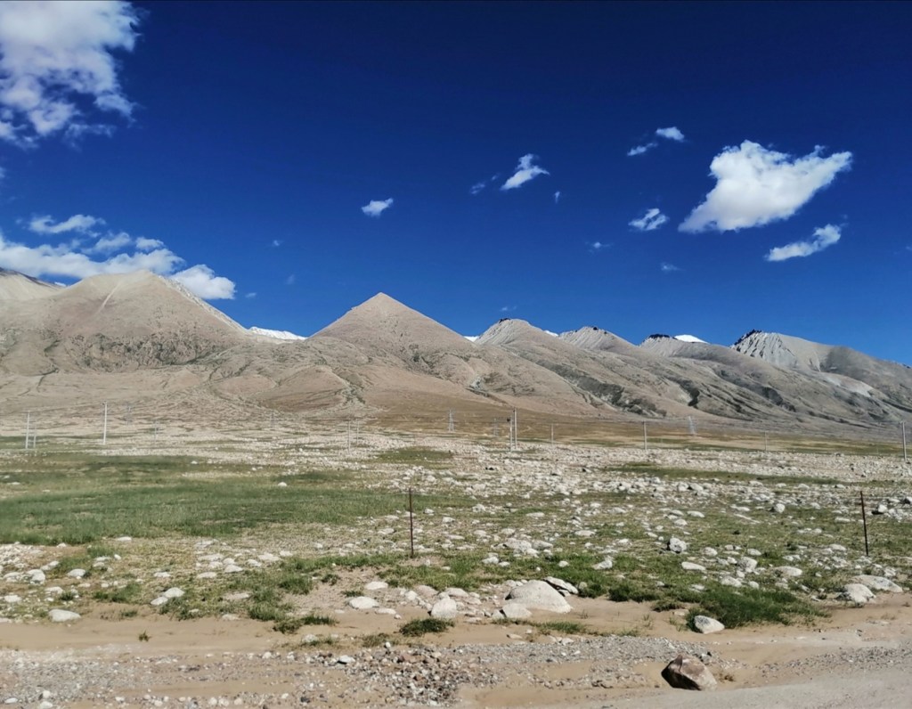
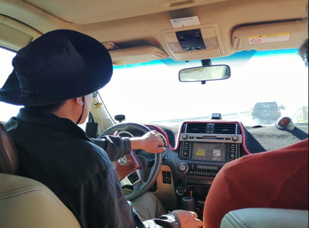
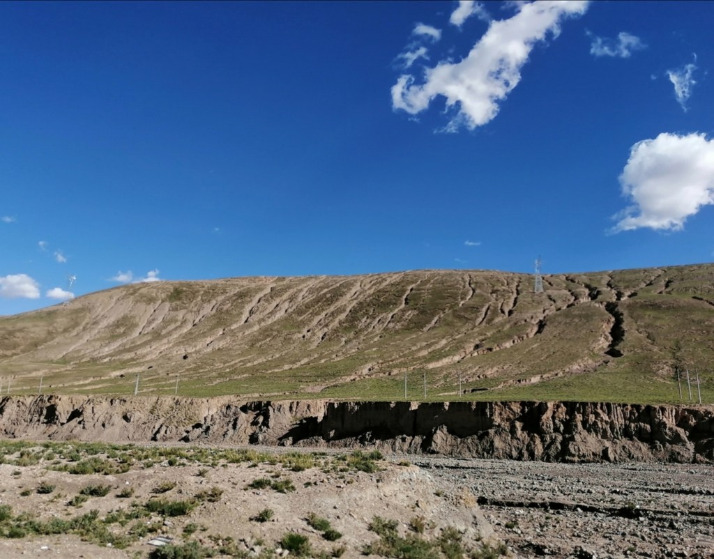
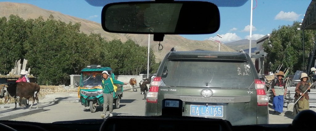
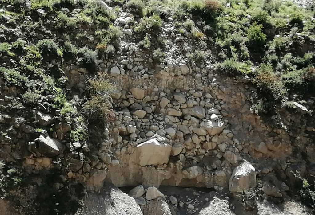
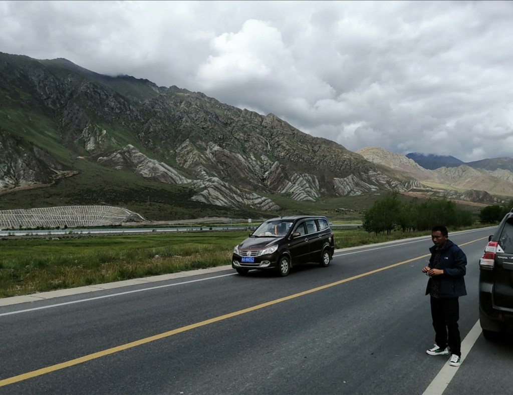
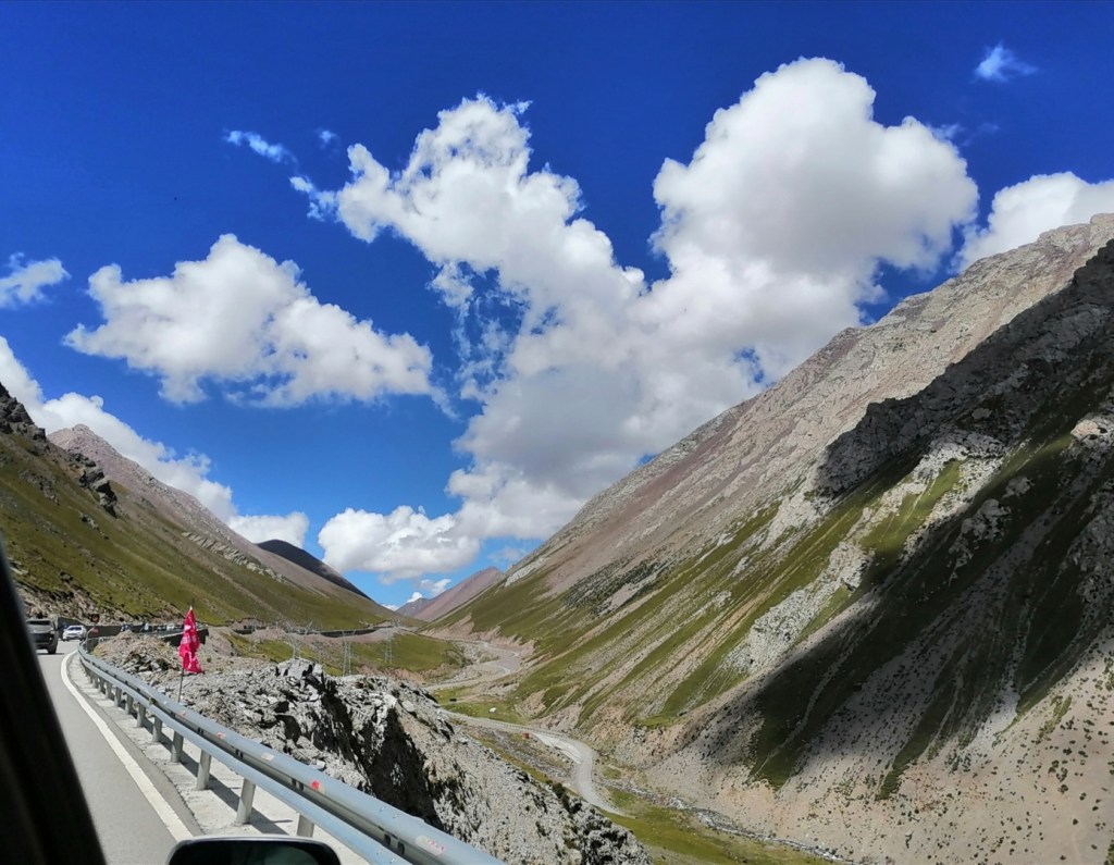
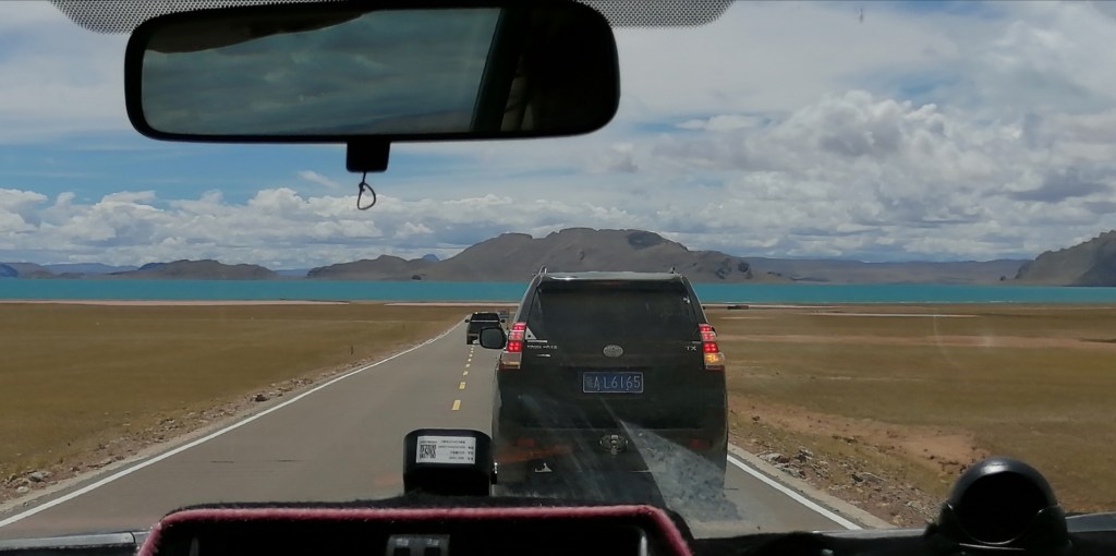
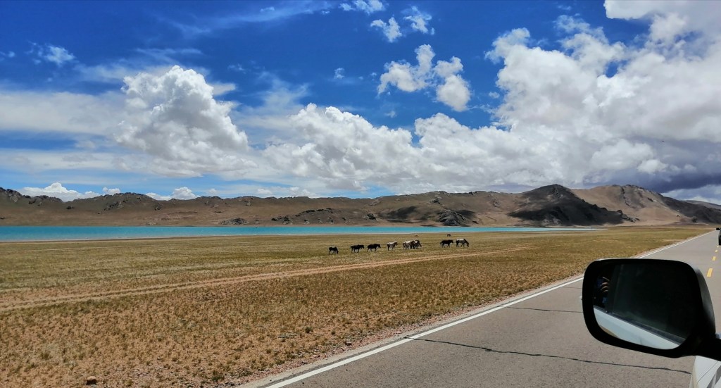
15th August: we’re off to Shigatse! Darwin had a bit of a tummy problem last night, maybe the soft shelled turtle was not such a good idea, but he’s OK now! We have a late start and a break at a park on the outskirts of Lhasa where we get a chance to see the Lhasa River and a gravel bar! I’d say D50 was about 5 cm, with a max size of 20 cm. That’s quite a contrast with the Yarlung. We pick up a new vehicle and new people, including Li Yuan from the Natural History Museum of Tibet. We drive to the Yarlung, have lunch where it is the widest before entering the gorge to the west (more than 1 km wide versus less than 20 m wide in most of the gorge). The gorge is impressive, very steep and threatening, with a very turbulent and sediment-laden Yarlung that must be up to 30 m deep in places. The gorge contains what we interpret as megaflood deposits, with boulder bars and very thick, chaotic and poorly sorted deposits. As the gorge widens a bit upstream, the terraces become more extensive, including megaflood deposits and well-sorted sediment clearly representing a period of widespread valley aggradation. We discuss the 3D geometry of these deposits, relative chronology and source of the megaflood. We also discuss the widespread recent (?) gullying on most hillslopes: climate change / permafrost destabilisation? We eventually come out of the gorge. We keep following the Yarlung upstream (and the Yarlung Tsangpo Suture Zone) until we get to Shigatse around 8pm, elevation 3800 m.
We had a gorgeous sunny day. The sun is strong, and we burn instantly without sunscreen (thin air?) In Shigatse, we meet Zhongpeng’s “big brother from the ITP who kindly organised all the paperwork for our permit, as well as Xiumien who was a visiting professor in Edinburgh with Hugh in 2011-12. They will join us for the rest of the trip. We go out for dinner and end with traditional dancing on the central square. Eliot and Darwin are delighted to show their moves. These dances happen daily. That was a pretty surreal day!


16th August: today will be an interesting day. We’re going to see the Xigase ophiolite (bit of oceanic crust that was once the seafloor between India and Asia) and move south to the headwaters of the Kosi River, as it is known in Nepal. We have visited the Nepal side many time, and it feels surreal to approach it and the high summits of the Himalayas from “behind”, that is, from the north.
Very schematically, this is the situation in the Cretaceous, with India moving towards Asia (“Lhasa block”), the Tethyan Ocean in-between, and erosion of the two continents supplying sediment to the ocean. When the collision occurs, many of the units shown below end up sandwiched and thrusted over each other, meaning that as we travel south we will see bits that used to belong to the sedimentary basin south of the Lhasa block (forearc), the ophiolite, the accretionary wedge, and then sediment that was deposited in the ocean on the Indian passive margin (the Tethyan Series).

We start by looking at rocks a few km west of Shigatse: firstly, the Miocene Tajuka conglomerate, sourced from the North (Asia), and then the 1 to 4-km thick Cretaceous deep-marine Ngamring Formation, complete with turbidites and even conglomerate channels.
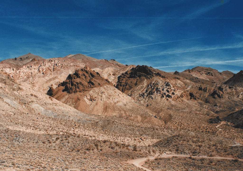
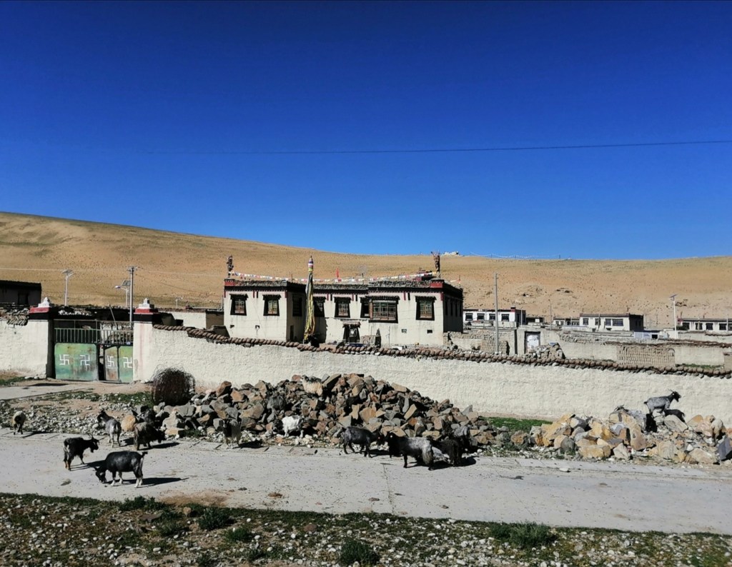
After a picnic, we drive south. As mentioned earlier, we stop at the contact between the forearc sediment and the ophiolite. The ophiolite is nearly complete in places, with the full oceanic succession, early deep marine sediment (chert), etc. The ophiolite is thrusted northwards over the forearc. We then see the early Miocene Liuqi conglomerate, which were deposited by large braided rivers and contains fragments of ophiolite and accretionary wedge, sourced from the south. The ophiolite and wedge were starting to emerge to the south due to N-S shortening. The conglomerate is thrusted over the ophiolite, but also deposited on the ophiolite in places: this is a very dynamic environment! We arrive at 16:30 in Lazhi County to have tea. The place is famous for its 700-year old music tradition listed as intangible heritage.


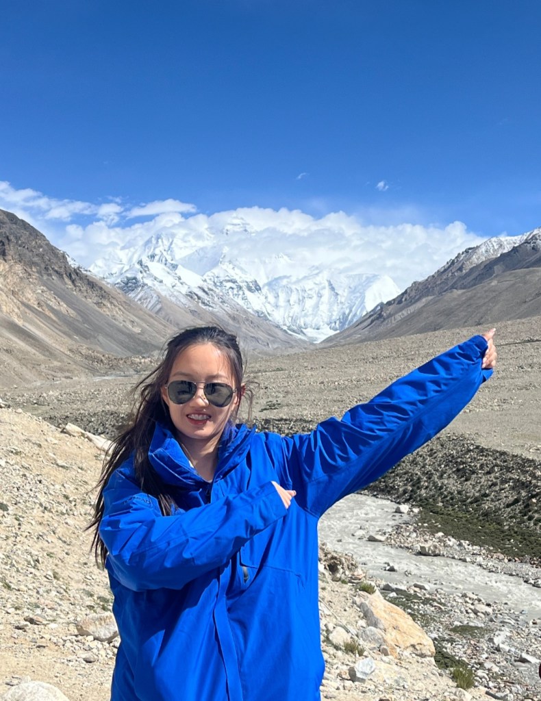
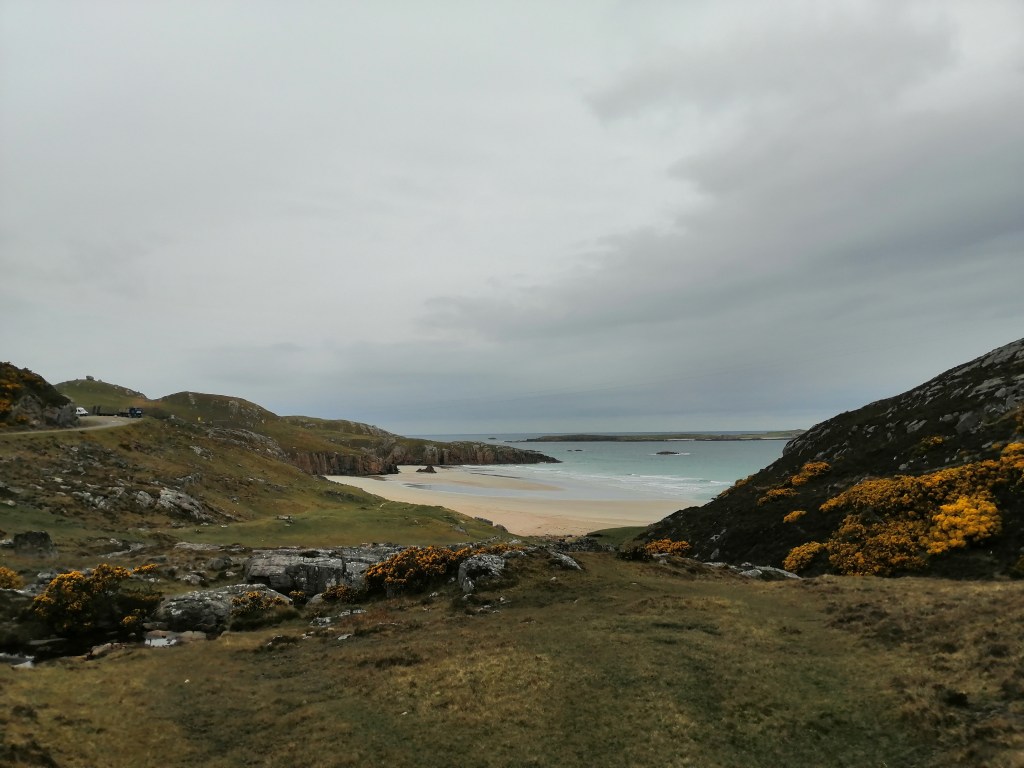
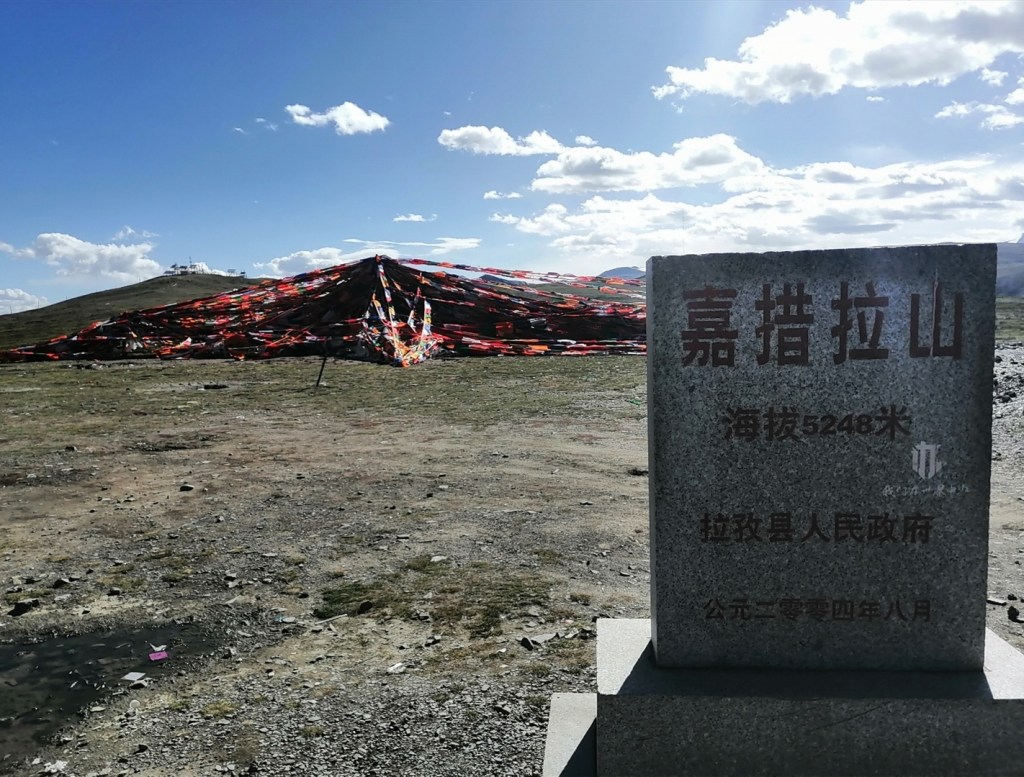
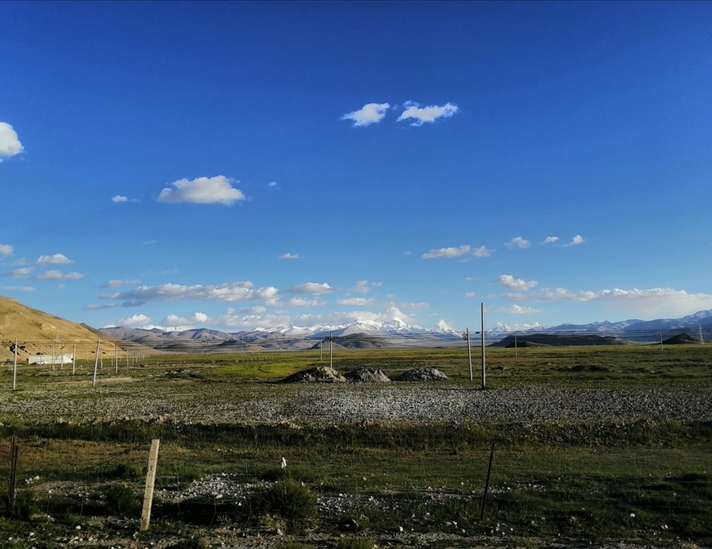
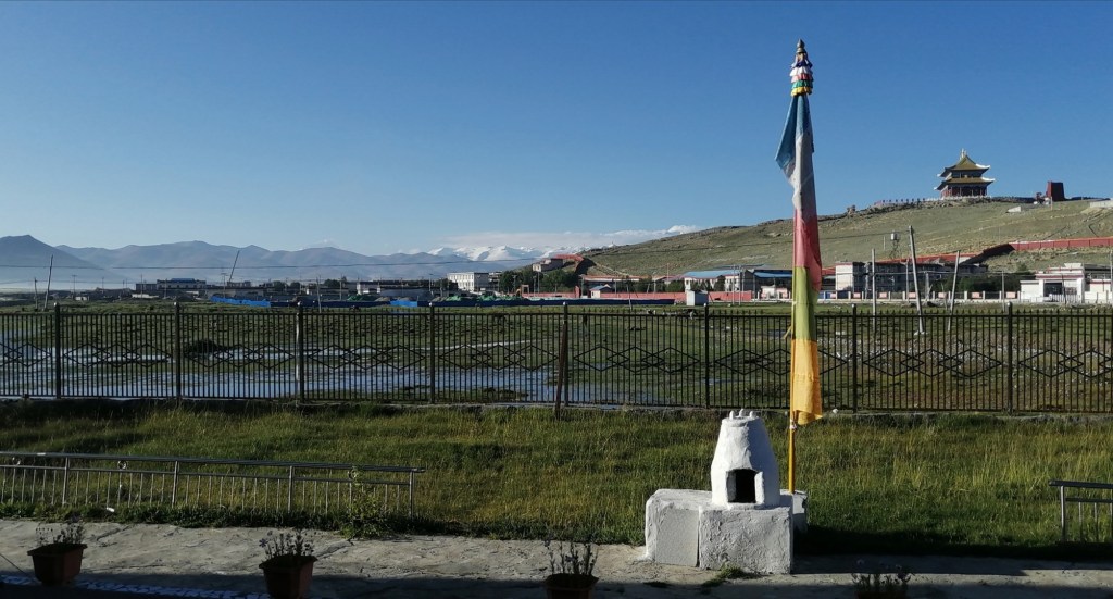
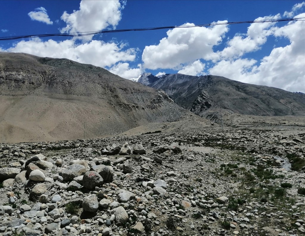
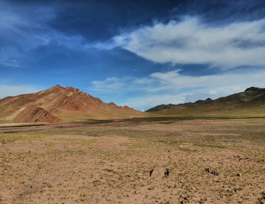
We keep driving south and enter the Tethyan Series. We climb towards a pass that will allow us to leave the Yarlung catchment. The landscape looks very Alpine minus 2000 meter elevation! We reach the pass at 5248 m and drop into the Kosi catchment! The valley quickly widens and features braided streams, marshes, terraces and spectacular gullying of the hillslopes. We reach the town of Ganga at 8pm. We can see Everest (Qomolangma) from our hotel. We are at 4200 m. This is incredible.


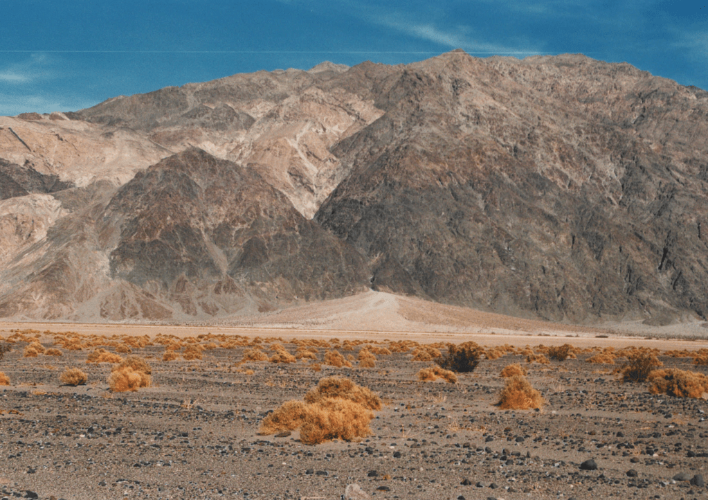
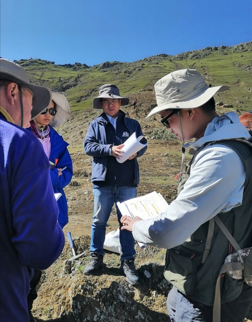
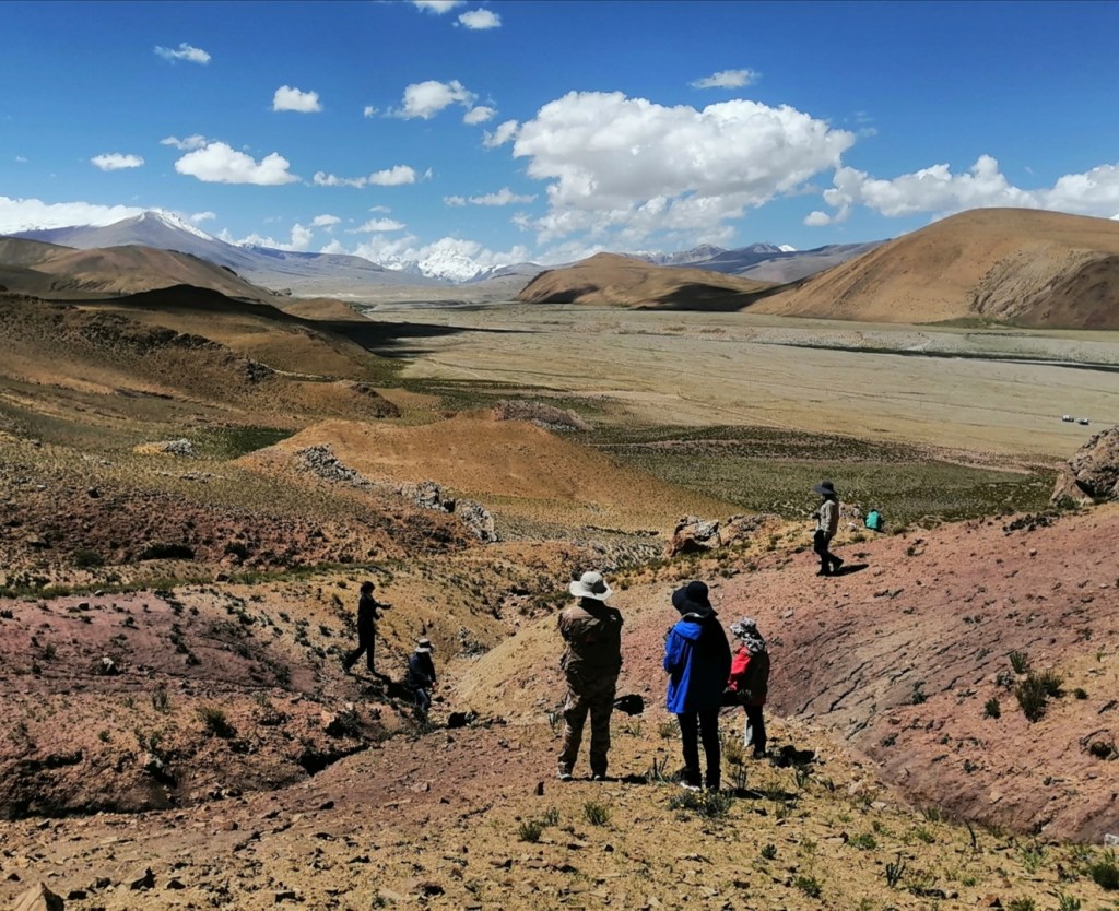
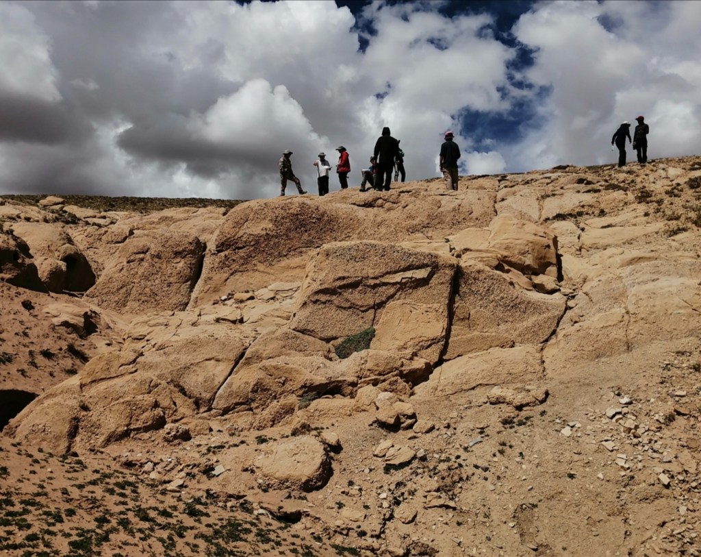
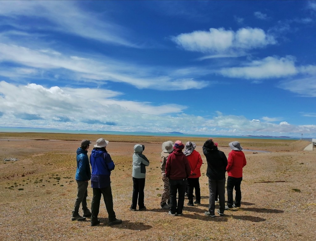
17th August: I didn’t have the best night. I struggled to go to sleep and regularly woke up with low blood O2 and scenarios of AVC or my head exploding because of the pressure and smashing all the windows in town. I am pleased to report windows are intact when I wake up, and my blood O2 is at 90%, which is good. Over the next two days, we are going to visit two significant areas: an inactive rift to the West, and an active one to the East. Both feature some spectacular geological and geomorphological sites, as you will see. I recognize that my blog has become a bit technical, and I’m sorry for the non experts. I will try to keep it as low level as possible, and hope you can still appreciate the photos! We leave Ganga at 10am after having refuelled. The first site is a late Neogene succession (a few million year old) that shows evidence of large braided rivers with episodes of damming and lake formation (lacustrine sediment). The lake formation may be tectonic in origin – we don’t know. The sedimentary features are beautiful, and the view over the surrounding plains and the high peaks to the south is breathtaking.


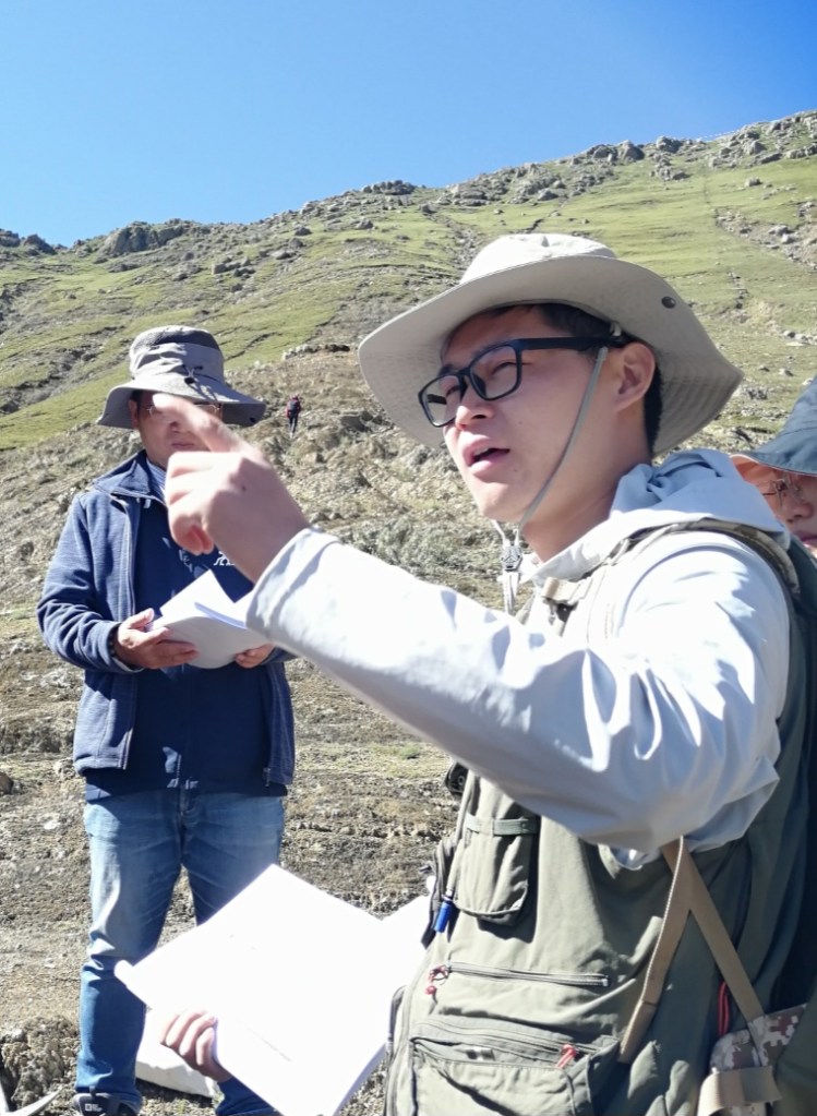
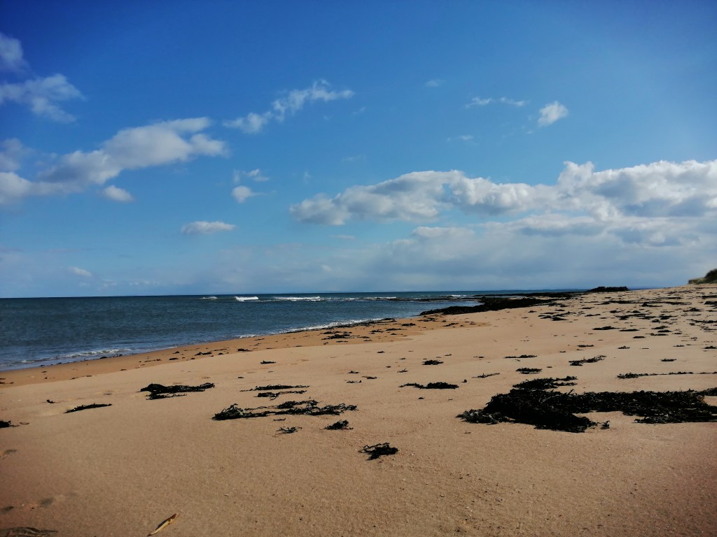
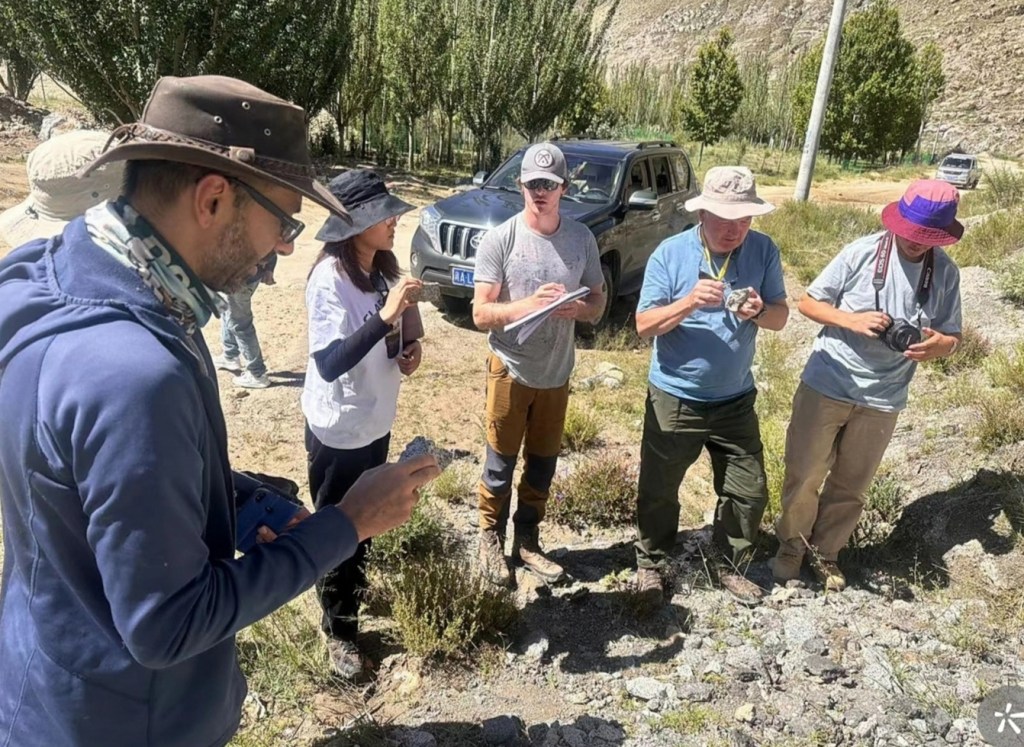
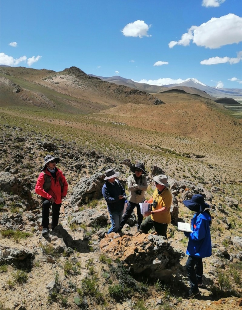
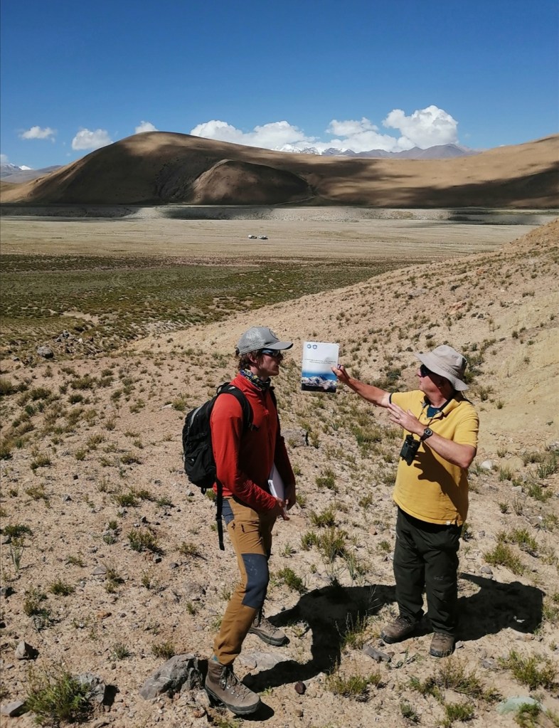
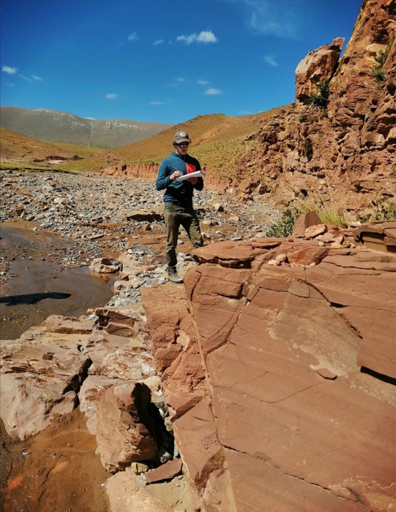
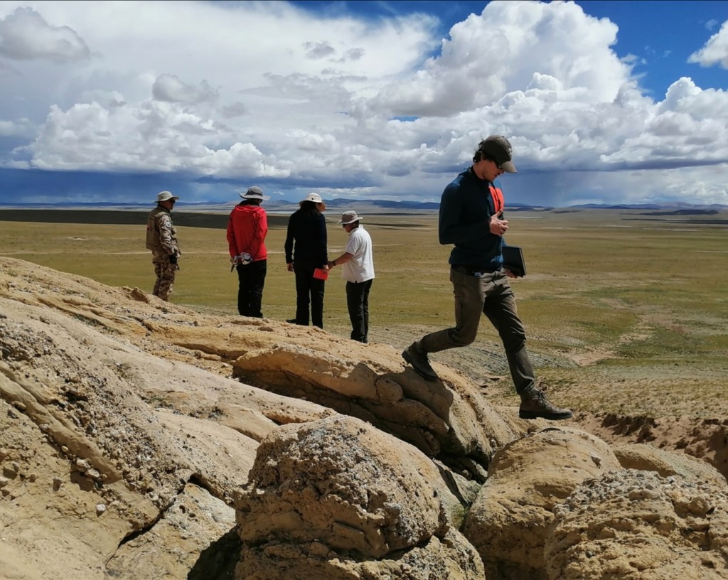
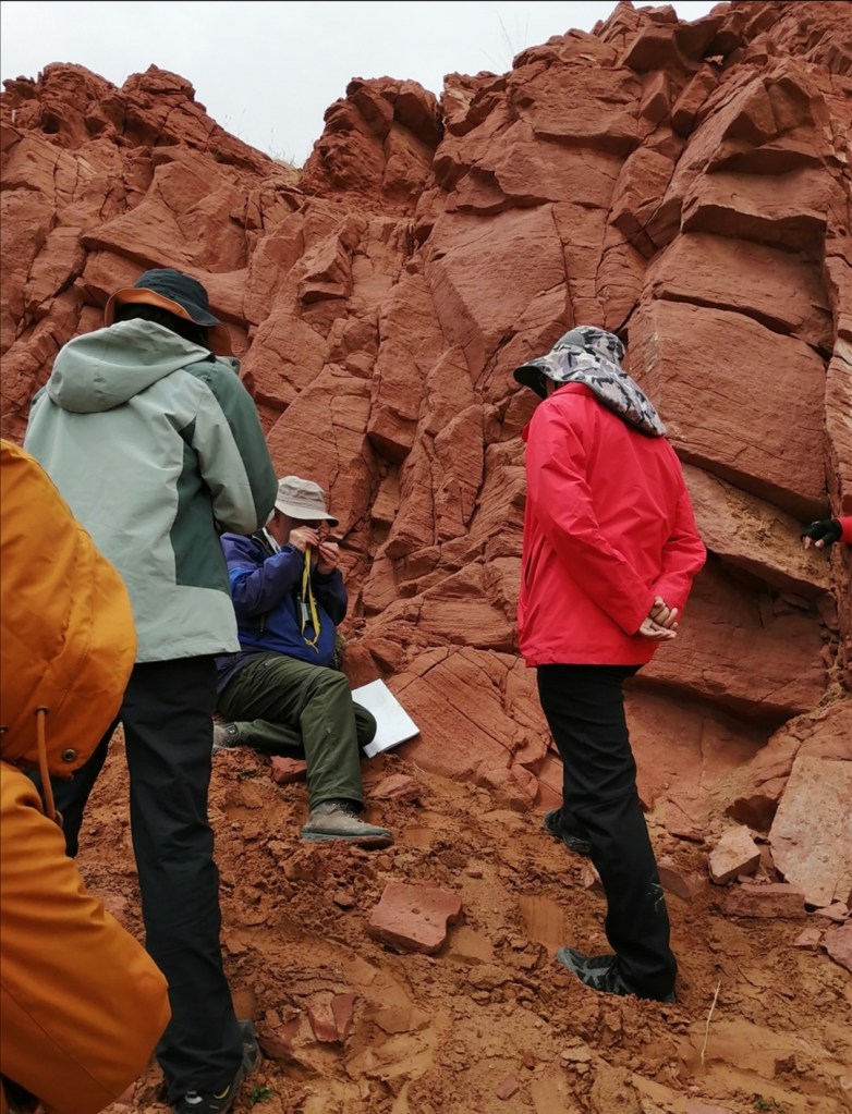
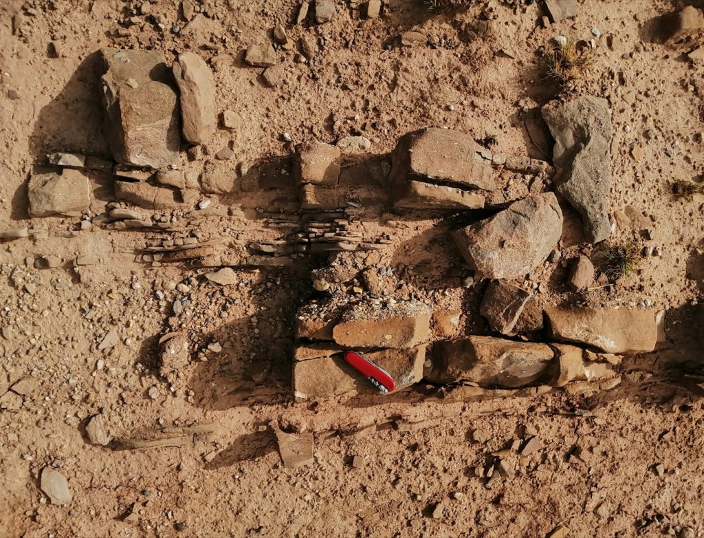
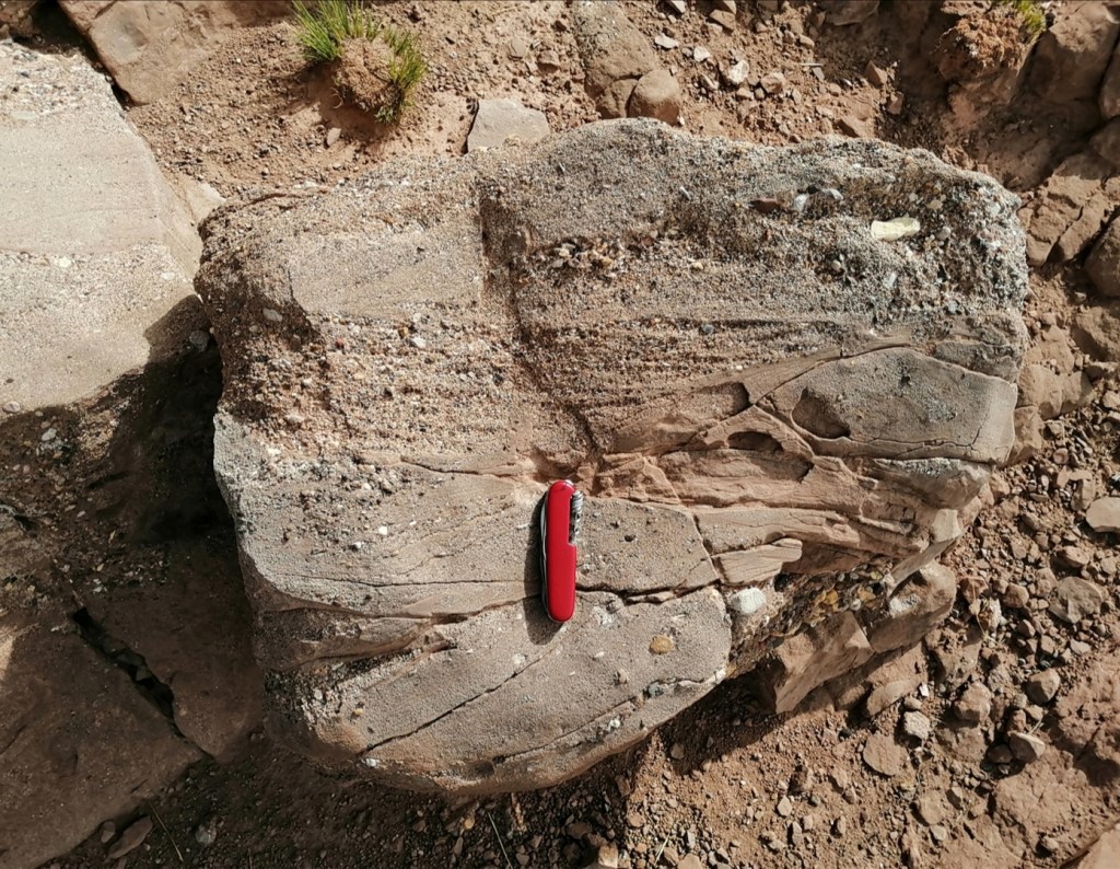
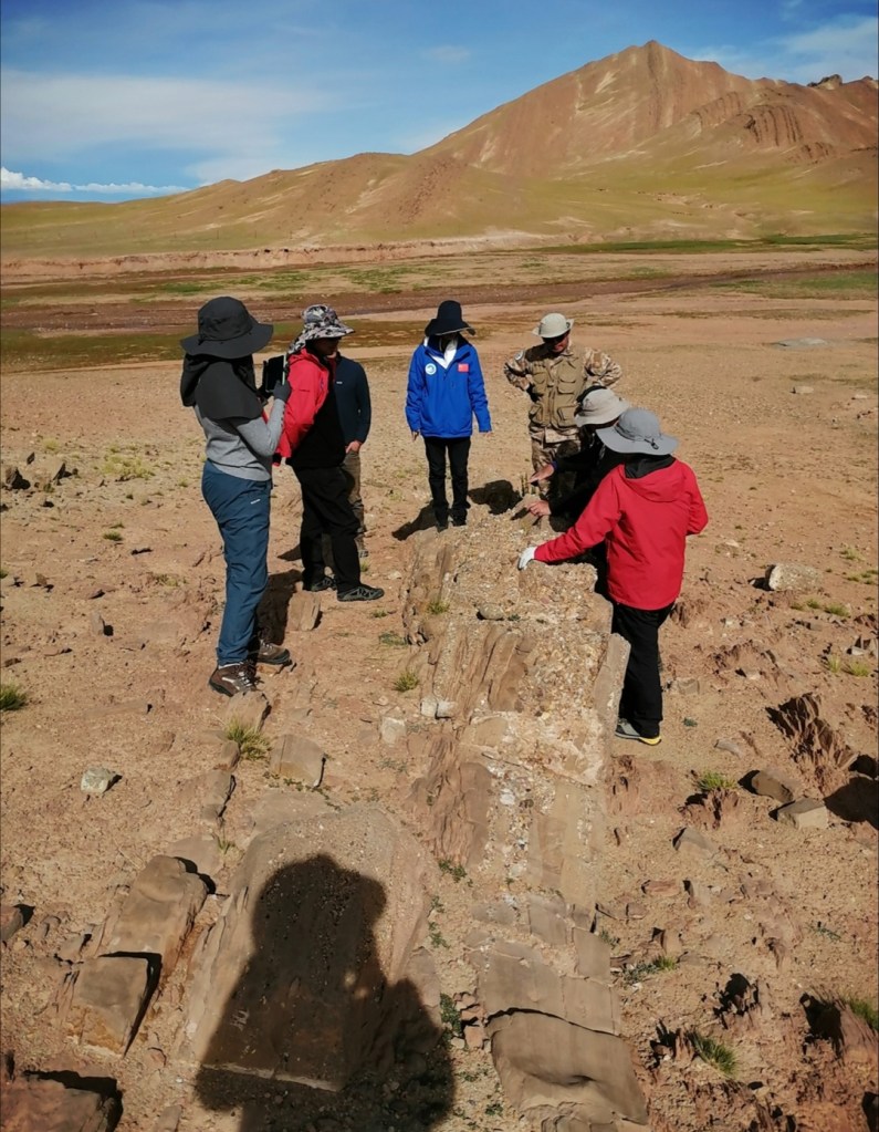
We then drive 15 minutes SE, do a bit of off-roading, and reach a succession of sedimentary rocks that belong to the Tethyan Series. The Tethyan Series were deposited on the passive margin of India when there was an ocean (the Tethyan Ocean) between India and Asia. The succession starts in the Devonian (more than 300 million years ago) and ends in the Neogene, recording different phases of the history of the adjacent continents. Xiumian leads us through the succession which includes slices of the Tethyan Series trusted on top of each other towards the north during the early stages of the collision between India and Asia. More specifically, we are looking here at the Eocene part of the succession, which includes nummulitic limestones and marls. Importantly: in all the rocks older than the limestone, the sediment is sourced from the south, from India. The marls on top of the limestone include the first sediment grains from Asia (from the north), indicating the onset of the collision between the two continents, 45 to 50 million years ago! The provenance of the sediment was established using zircons, which are minerals that have very specific properties. Zircons from Asia are different from the ones from India. And Eliot in the photos below is pointing at that very transition, when sediment from Asia arrives for the first time in the Tethyan Ocean, which is pretty cool!


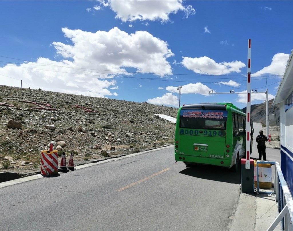
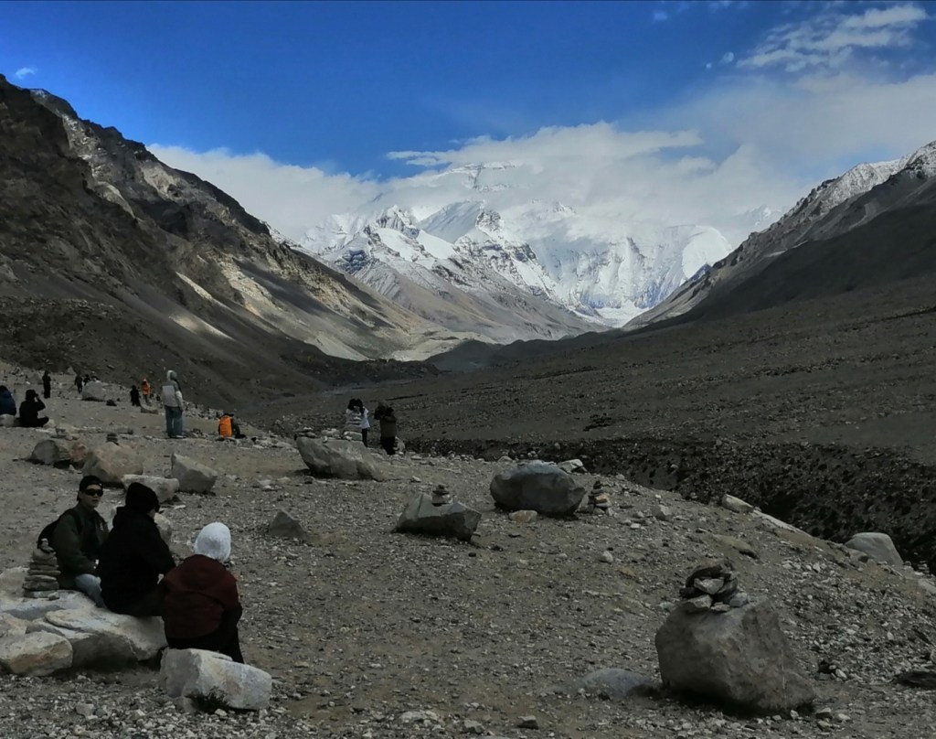
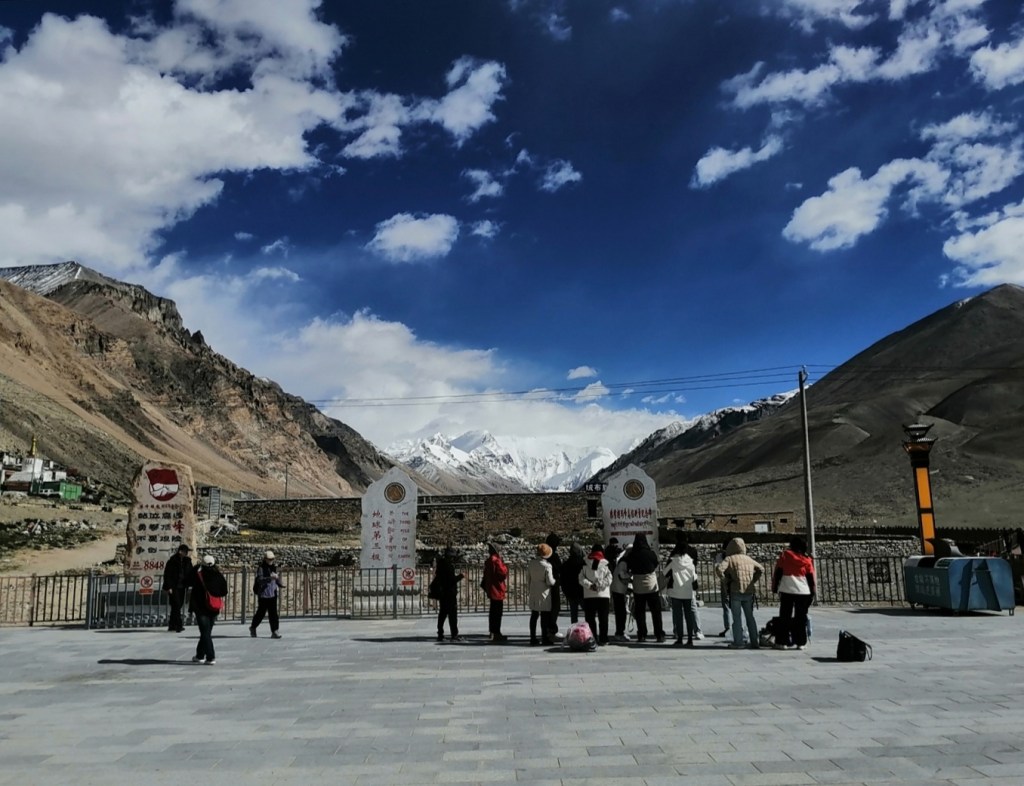
After a quick lunch, we drive east towards Qomolongma / Everest base camp, the north side one! We stop at a “town” at 4400 m elevation, and electric buses take us to the base camp at 5200 m (40-minute ride). On the drive towards the base camp, we get into older Tethyan Series rocks: Carboniferous, Devonian, before reaching one of the most significant “normal fault” in the world, the South Tibetan Detachment (STD). To the south / underneath the STD lie the metamorphic and igneous rocks of the Higher Himalayas Crystalline (HHC). These rocks come from great depths in the Earth’s crust, due to tectonics and erosion. The STD cuts through the top of Everest: the bulk of it is HHC but the top 100-200 m is sediment from the Tethyan Series!
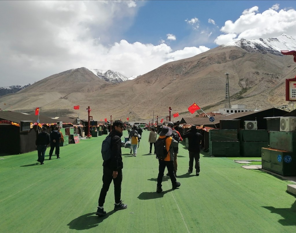
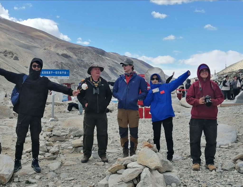
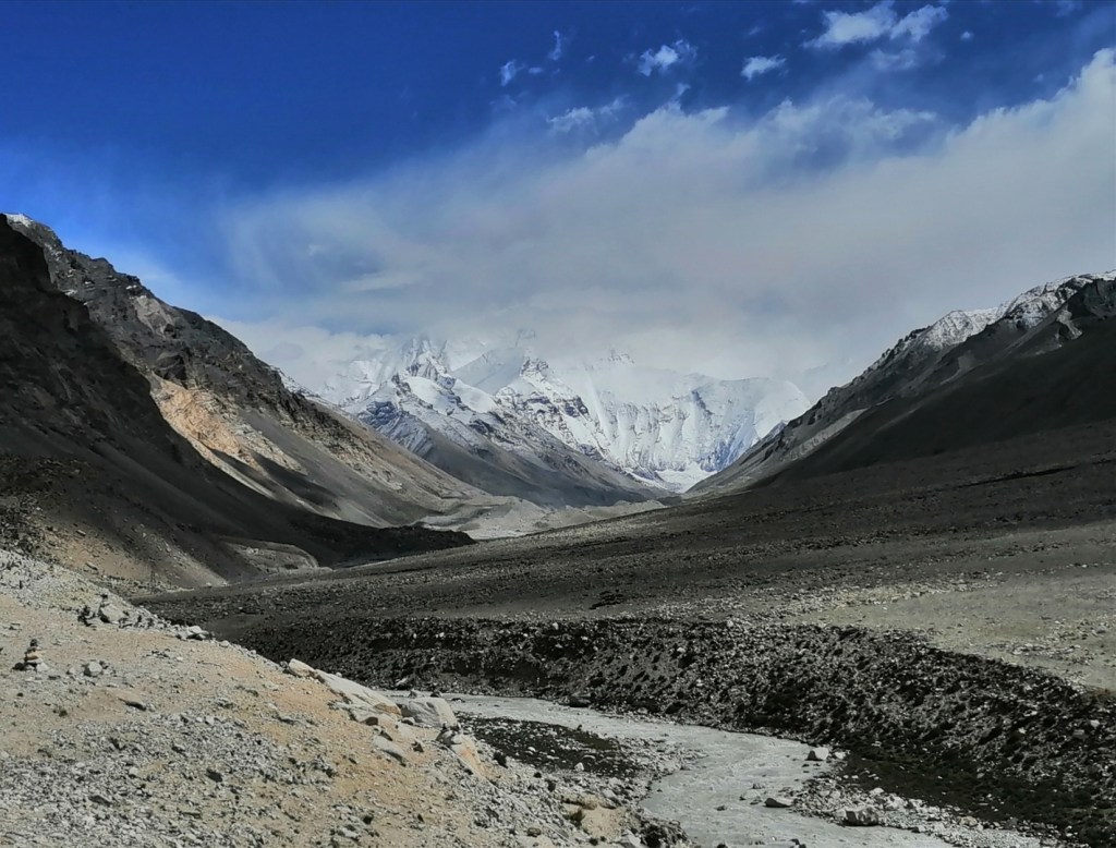
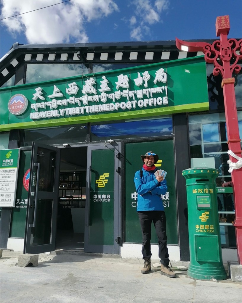
In terms of geomorphology, we observe outwash plains, terraces, hanging valleys and sediment reworking by modern braided rivers. Sediment is dominated by granite and well rounded (which formed due to decompression of rocks during the functioning of the STD here). As we approach the base camp, we rapidly transition to the glacial realm: till, moraine, giant scree slopes and debris fans full of angular material. The base camp is more like a tourist village, including shops and even the highest Post Office in the world! Everest is covered in clouds but kindly reveals itself at some points. What a sight. We can’t help but think about the first alpinists who got there with their primitive equipment, saw this and thought “let’s do it”!
We enjoy a walk, the views and spicy sausages. On the drive back to town, we have a quick stop at the local offices of the Institute of the Tibetan Plateau. We have yak hotpot / BBQ in town, and check in a very swanky hotel, complete with oxygen diffusers in the room. I have a massive headache (and a funny tummy, sorry Eliot), but blood O2 levels are stable at 88-92% and we’re pumping O2. We should be OK!
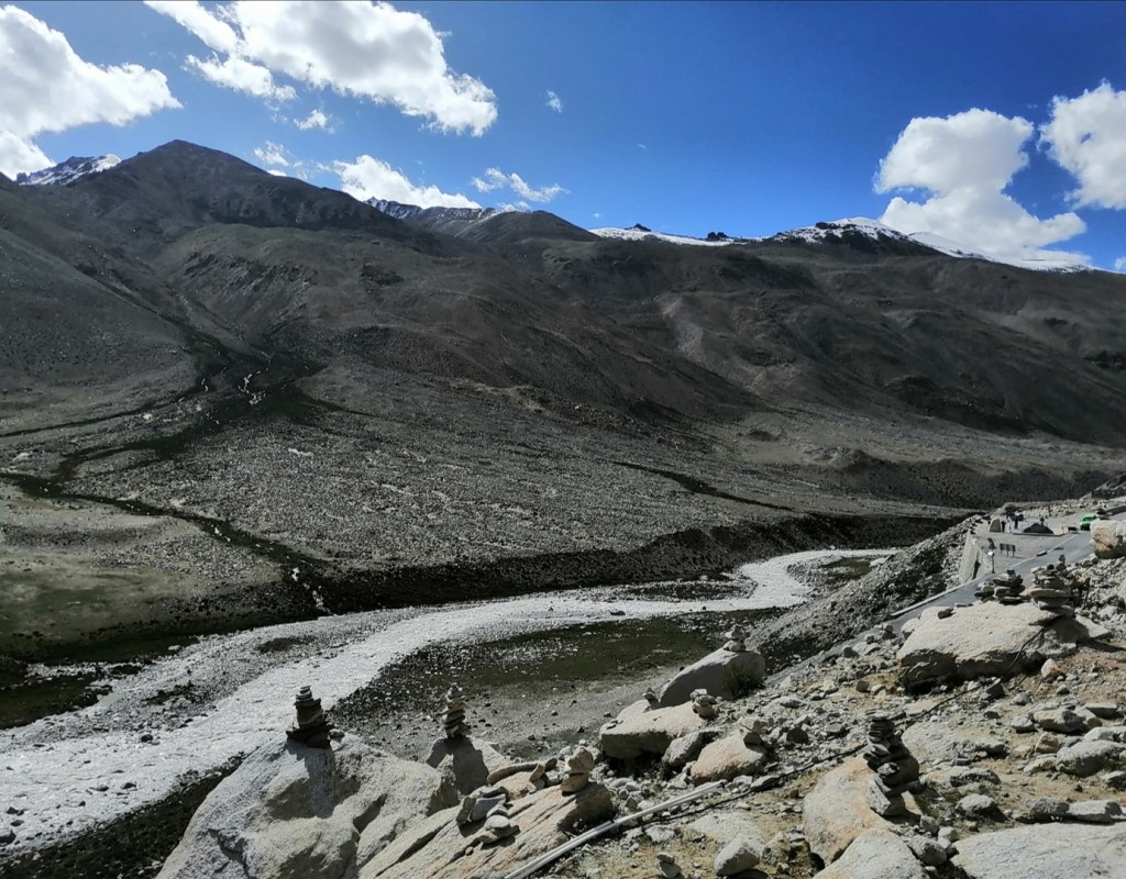


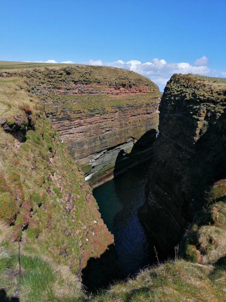
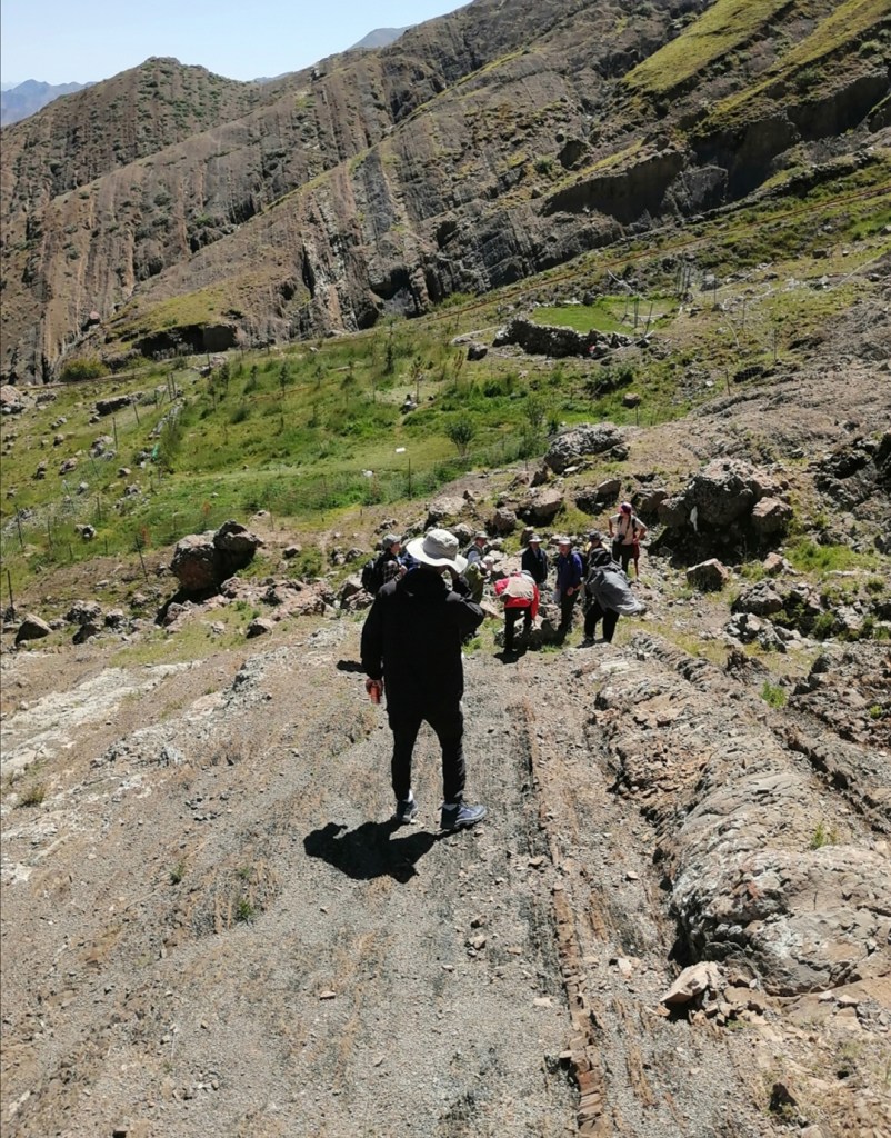
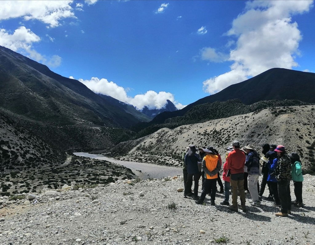
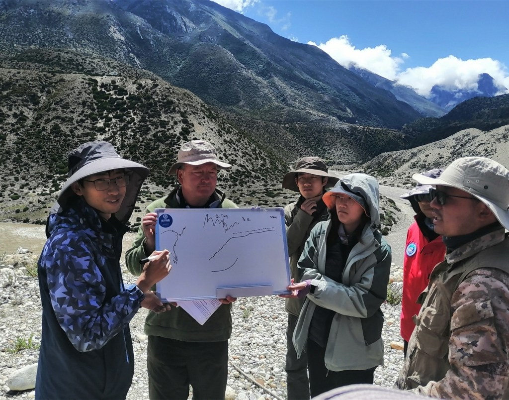
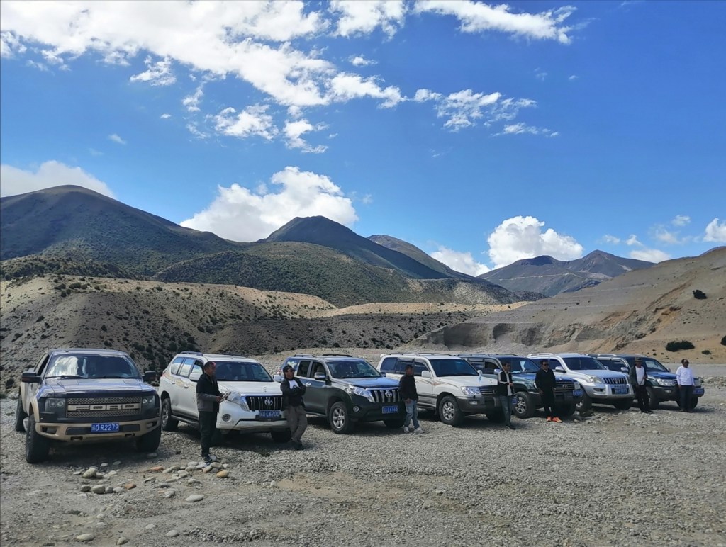
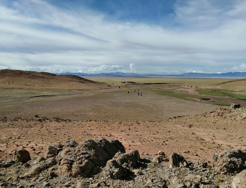
18th August: this is the best night I’ve had! Start of the day is overcast and we drive east, down the Dzakar Chu (chu means Water and river in Tibetan). The day is led by Dr. Xu Han. We are now a 7-vehicle convoy as we are joined by Xu and his team, including students and researchers. As the river crosses a HHC dome, it forms a gorge. We look at terraces up to 80 m thick upstream of gorge, and up to 30 m thick in the gorge, and discuss the sedimentology and processes of formation. We then reach the main stem of what will become the Kosi. This section of the river, which is the base level for the Dzakar Chu, is very interesting: to the east are 7000-m peaks that had glaciers that reached the valley at the last glacial maximum, unlike the Dzakar. The morphology is strikingly different, with many moraines, boulder-rich alluvial fans breaching the moraines, and massive fluvio glacial terraces. As we drive south, we reach the entrance of a gorge, the hypothesized capture point that features in an article that should be published soon (I will put the link here when it happens). The idea is that the whole headwaters of the Kosi upstream of that point were an internally drained basin up to around 80000 years ago. We look for and discuss evidence of the capture.


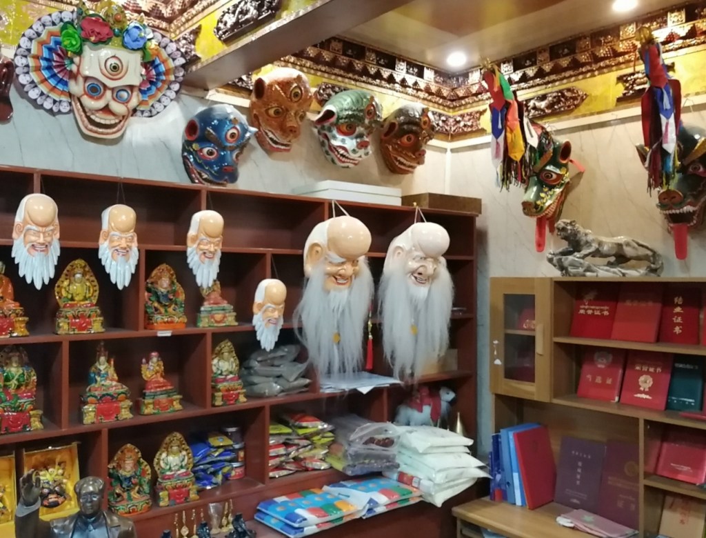
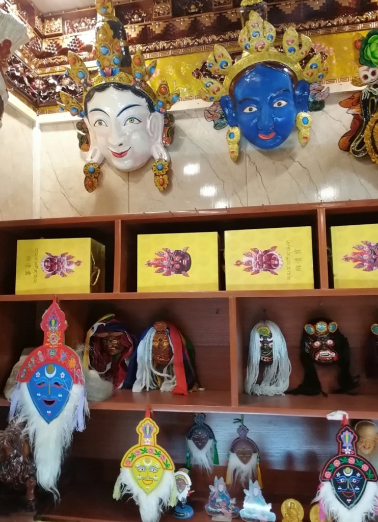
We then drive back north (upstream) through the main valley, pass a point which I was convinced was a capture point from satellite imagery but is a clear example of antecedant drainage, as the river forms a gorge and a strange right angle turn, as it goes in and out of one of these rapidly exhuming HHC domes (thermochronology gives ages of only a few million years). We drive north, see evidence of a very large palaeo-lake, pass through an active graben that interrupts the chain of high peaks (check out the triangular facets!) and arrive in the lovely town of Sakya, that includes a Buddhist temple founded in 1077. We do a bit of shopping / sightseeing on the way back to the restaurant (hat for Eliot, sunglasses for Darwin, visit of a spectacular traditional mask-making workshop). We are at 4350 m.

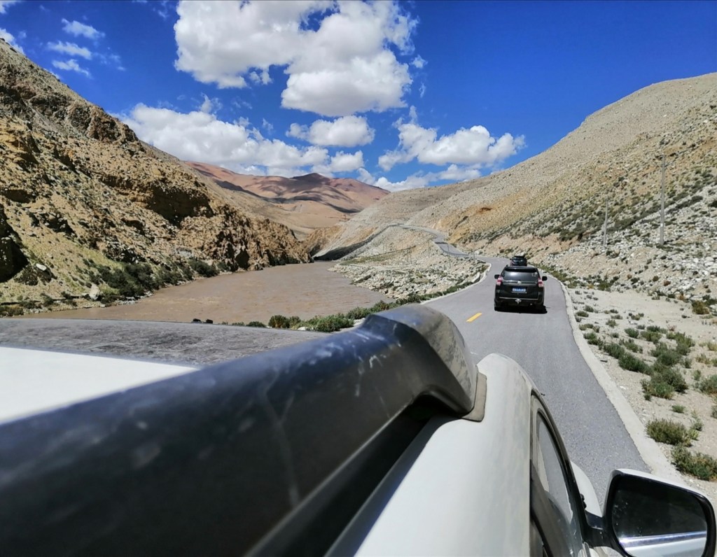


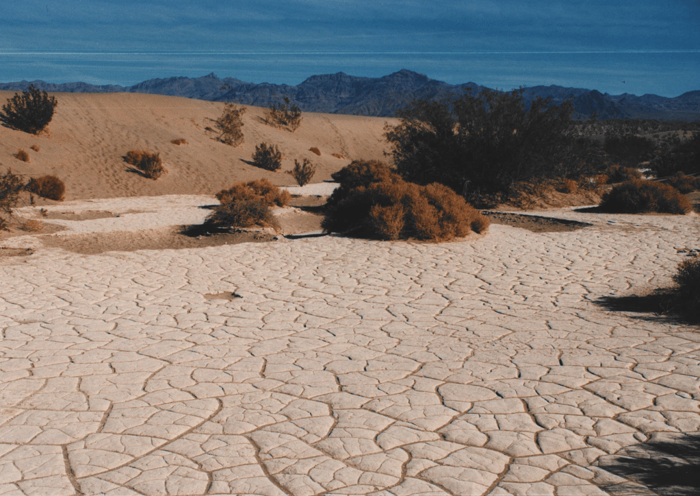
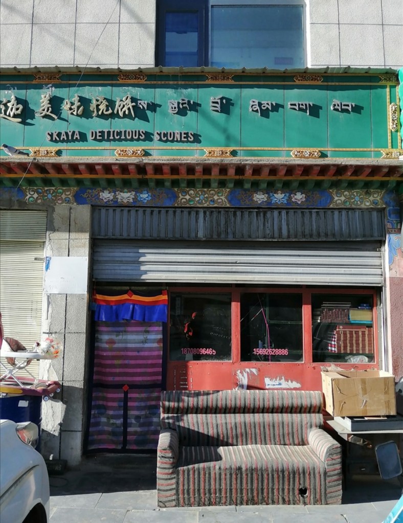
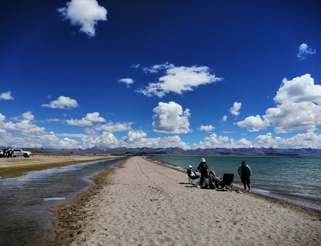
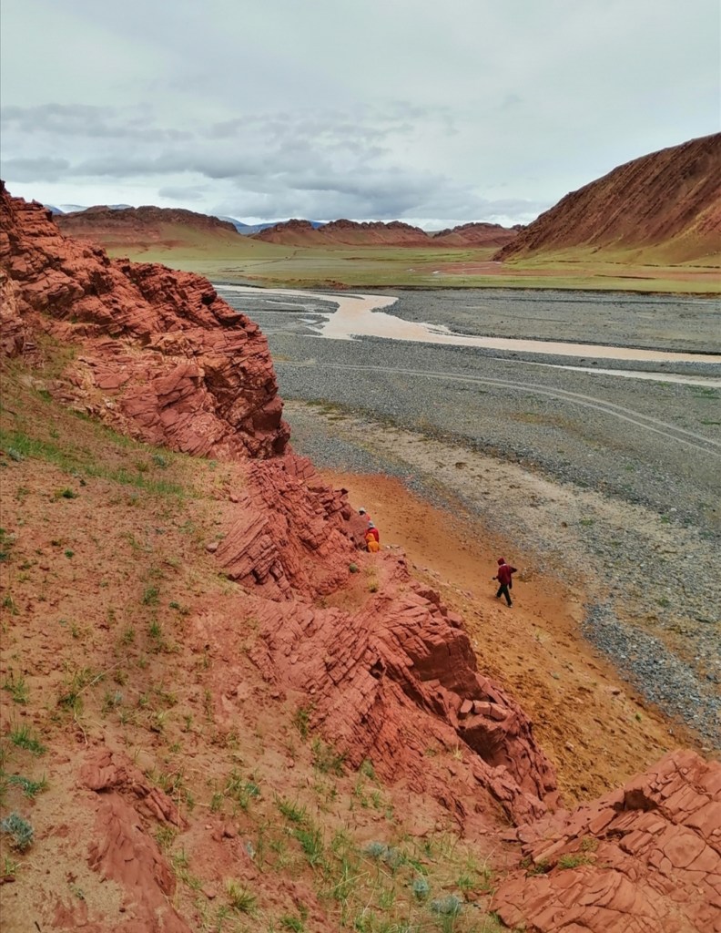
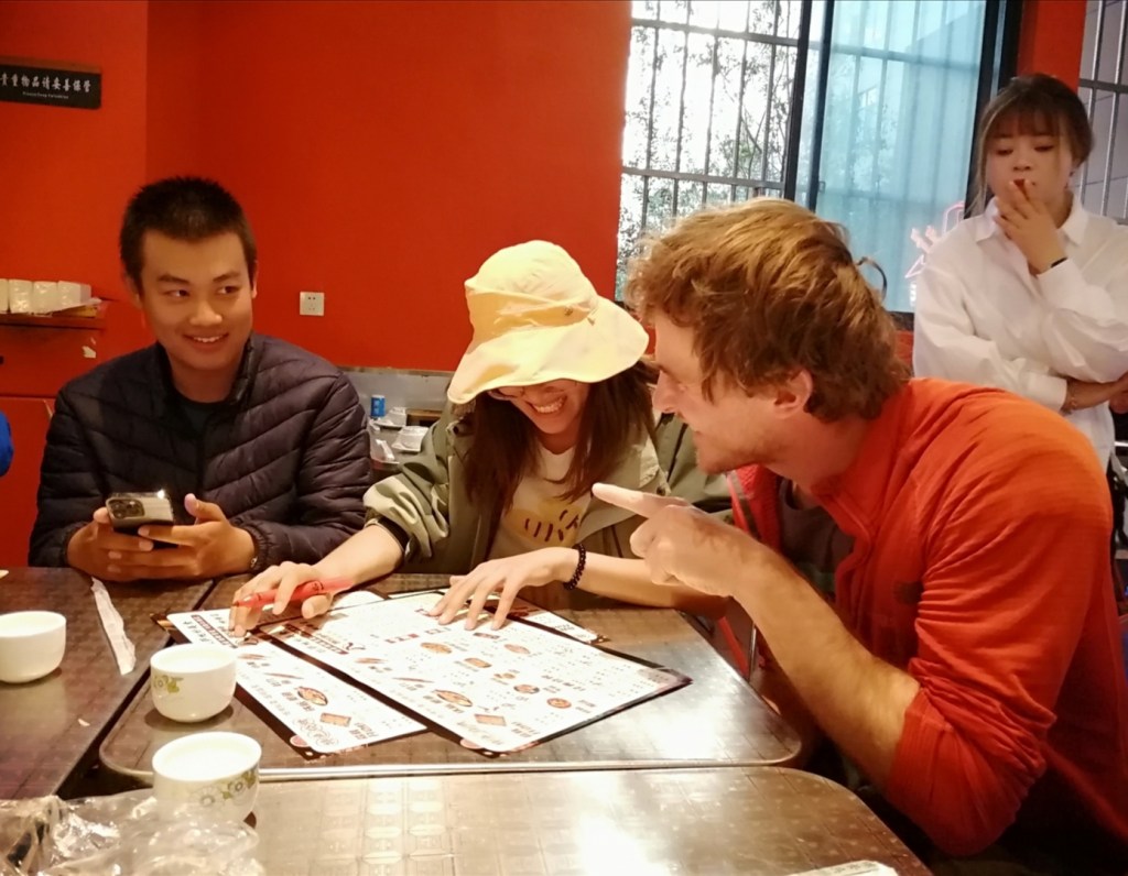
19th August: today is a (long) travel day. We leave Sakya to travel east, back along the Yarlung, pass the confluence with the Lhasa River, all the way to Zedang where we will spend the night. I didn’t sleep so well and keep having nightmares; maybe it is my body’s way to increase my heart rate and get more oxygen in? We have breakfast in a popular small eatery (we don’t get to try the Sakya Delitious Scones unfortunately), and we’re on our way! 30 minutes later, we are stopped: a very large wind turbine blade is coming our way and we have to wait. Instead, we turn around, back to Sakya, and across the hills through lovely green valleys. One of the big surprises of this trip is how green south Tibet is, possibly because it is the rainy season. We then rejoin a motorway and make good progress until the section where tunnels where destroyed by landslides: the ride is as bumpy as on the way in, and the Yarlung is as impressive as before (by the way, Tsangpo means river in Tibetan). I manage to take some pictures of the giant boulder terraces in the gorge. We are back on the motorway and travel to one of Xiao Bai’s sites near Zedang, which is unfortunately under water! Instead, we find a site near a tributary nearby where we get a chance to observe, describe and discuss aeolian / fluvial interactions and their preservation in the stratigraphy. We check in the lovely Meikang International Hotel where we met Yao Gan, who does thermochronology, was in Edinburgh at the same time as Xiumian, and with who I went on the Inch field trip. He will join us for the trip north.
I have a good chat with Zhihang who leaves tomorrow. He seems to have learnt a lot on this trip, and we will meet again in Edinburgh in September! I manage to do a bit of work and go to bed at midnight. Tomorrow is an early start for a long drive…


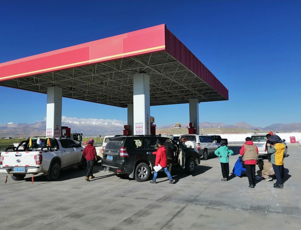
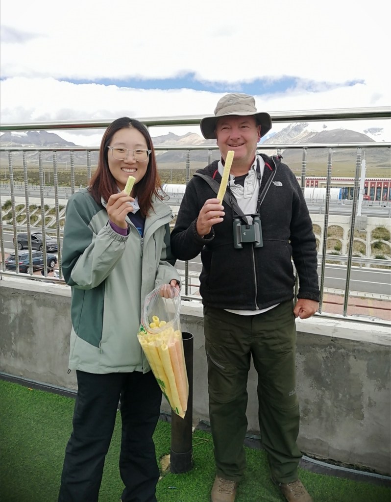
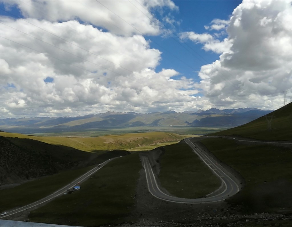
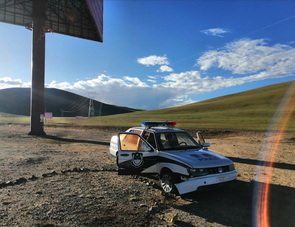
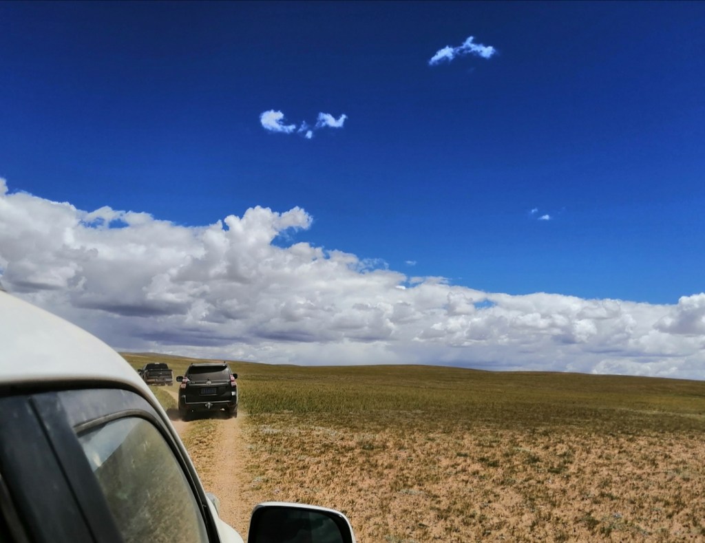
20th August: I had a very good night and am feeling pumped up. Eliot didn’t sleep so well, maybe because he slept too much in the car. We pack, have breakfast and leave around 8, after having said goodbye to Jiawei and Zhihang. A photograph joins up for the trip north. We drive through Lhasa, attempt to have coffee and fail (nice coffee machine but the barista is still in bed), and drive north along the Duilong River. We stop at a spectacular unconformity between a folded Cretaceous sedimentary succession and 69-65 Ma old volcanics on top. There is a 30 Ma gap during which the sedimentary rocks were deformed, uplifted and eroded, before the arrival of the volcanics associated with the subduction under the Lhasa block. We then keep driving upstream and I fall asleep. I apparently miss a spectacular gorge and wake up at a service station with a viewpoint over a range of spectacular peaks to the NW. We are in a half-graben opening at 3-6 cm per year (!) The glaciated 7000-m high summits are the tip of the uplifted footwall. We have snacks at this service station that is very popular with tourist. Chinese tourists. Westerners are not common, judging by the looks we get. We will have to get used to it as it will become more intense as we penetrate further into the plateau. Xinhang gets us some stick-like hollow things that are just very yummy. We keep driving NE along the river, then head NW up the steep footwall, to a pass at 5200 m.


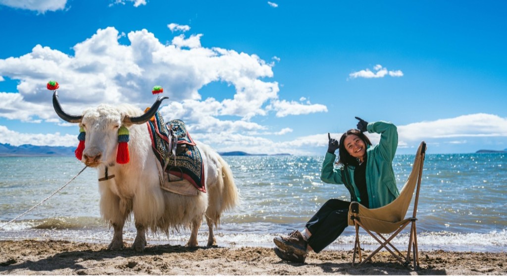
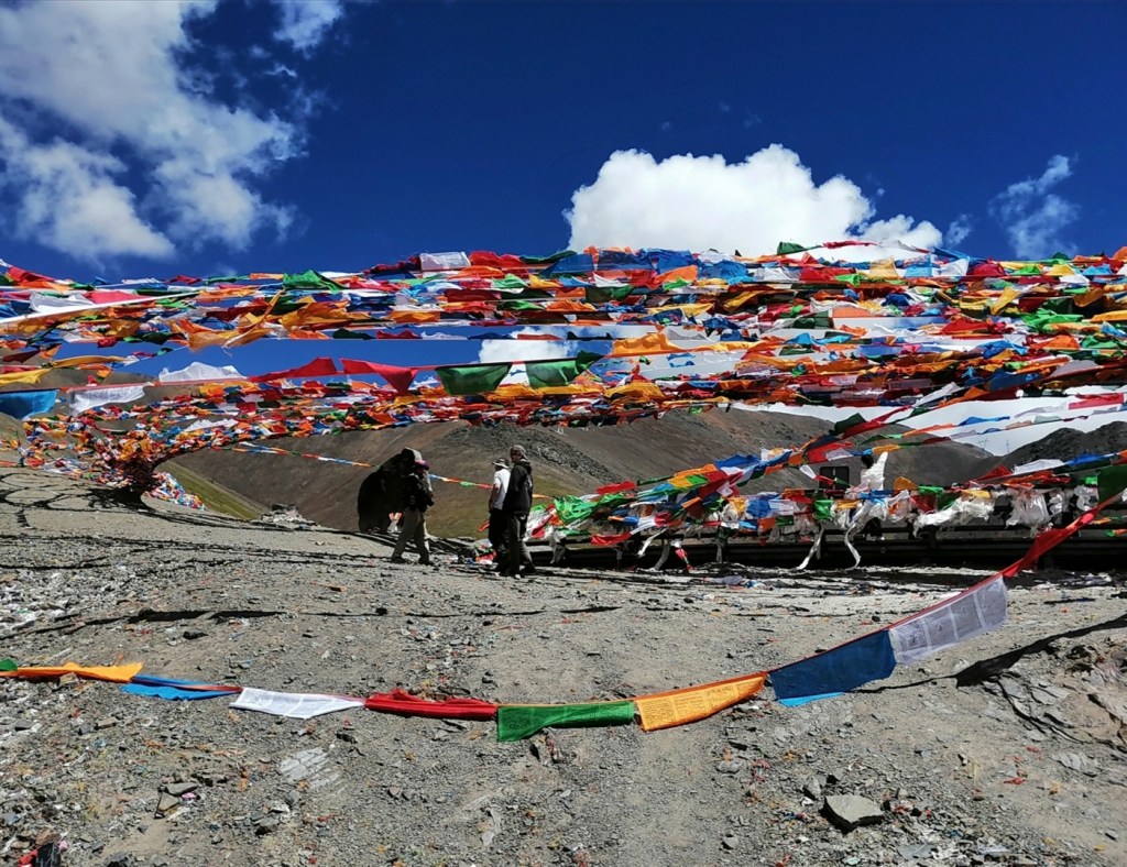
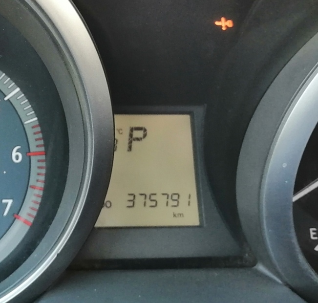
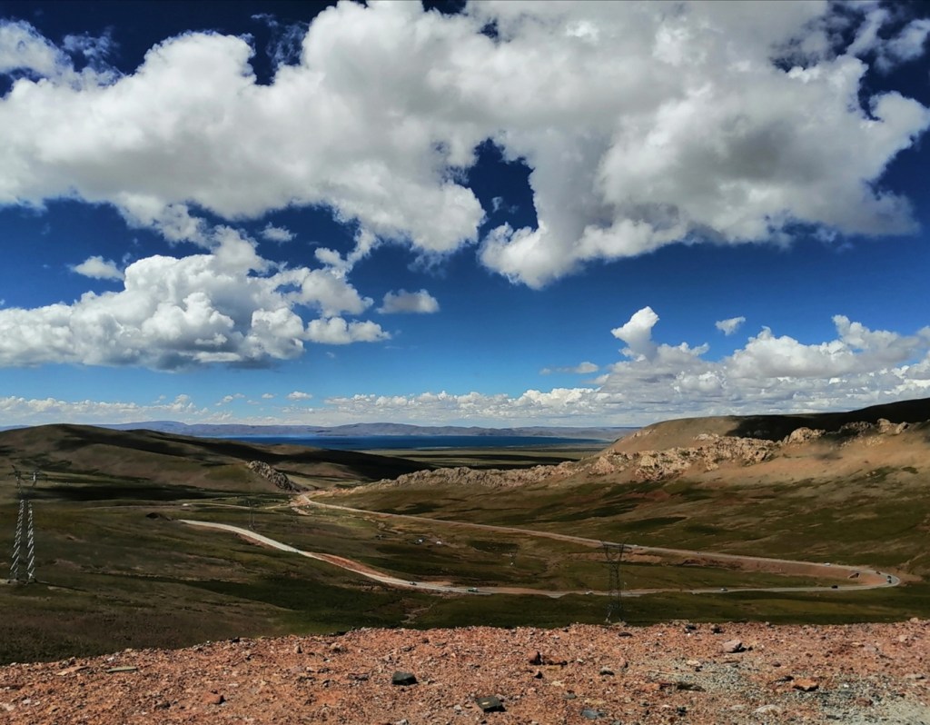
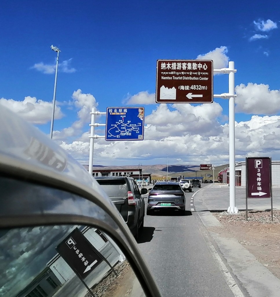
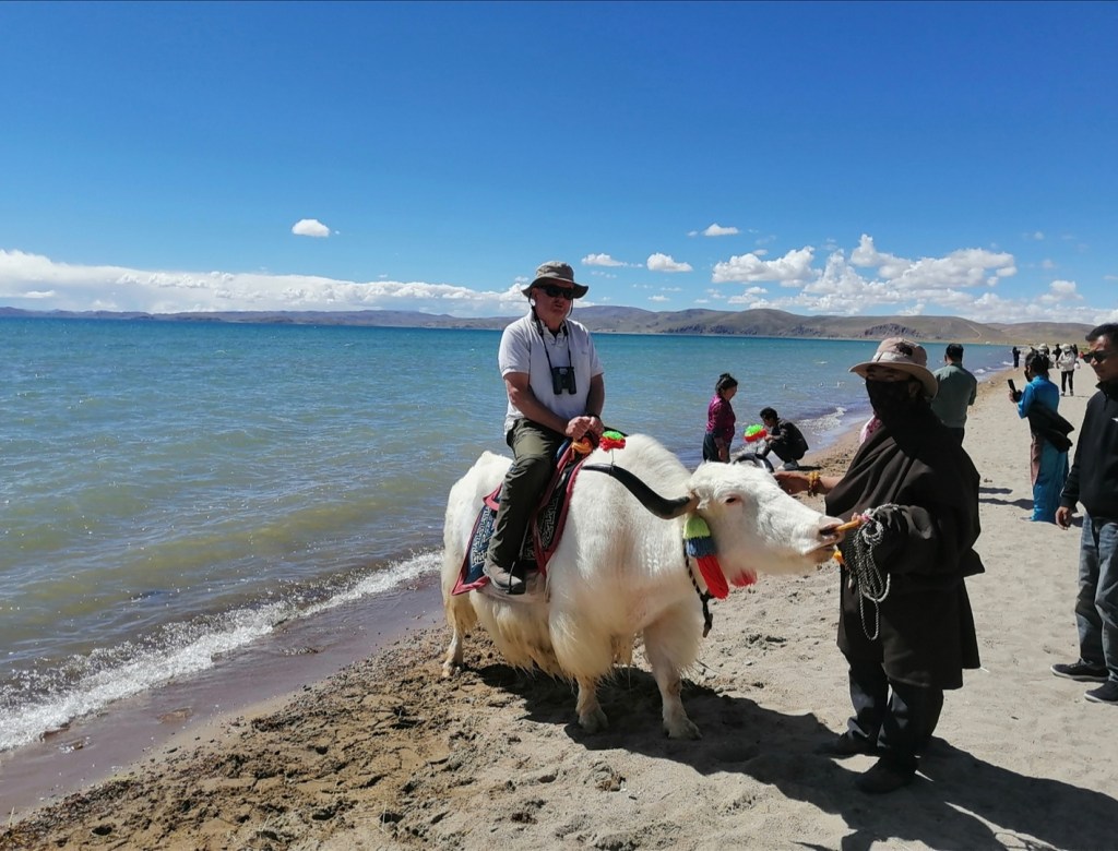
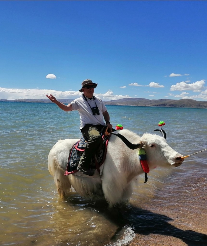
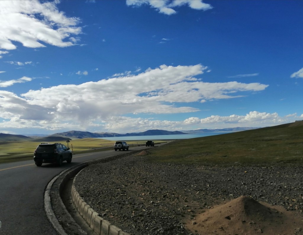
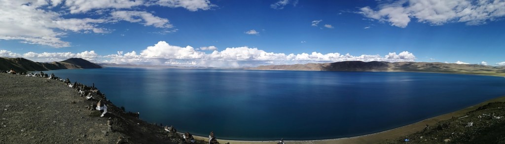
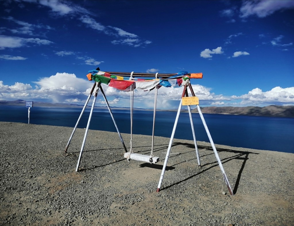
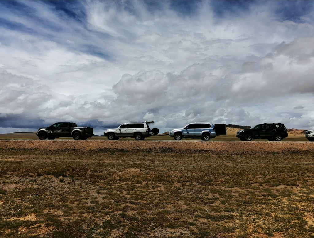
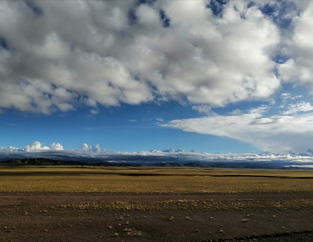
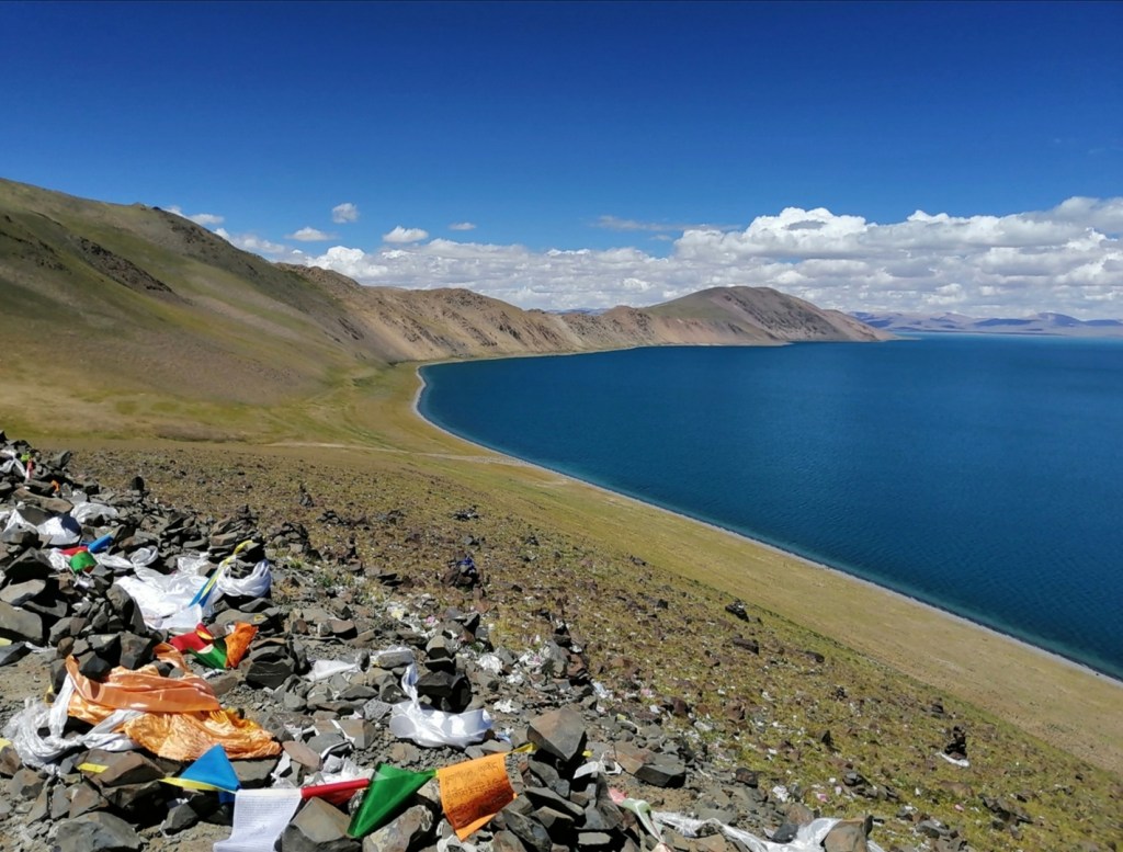
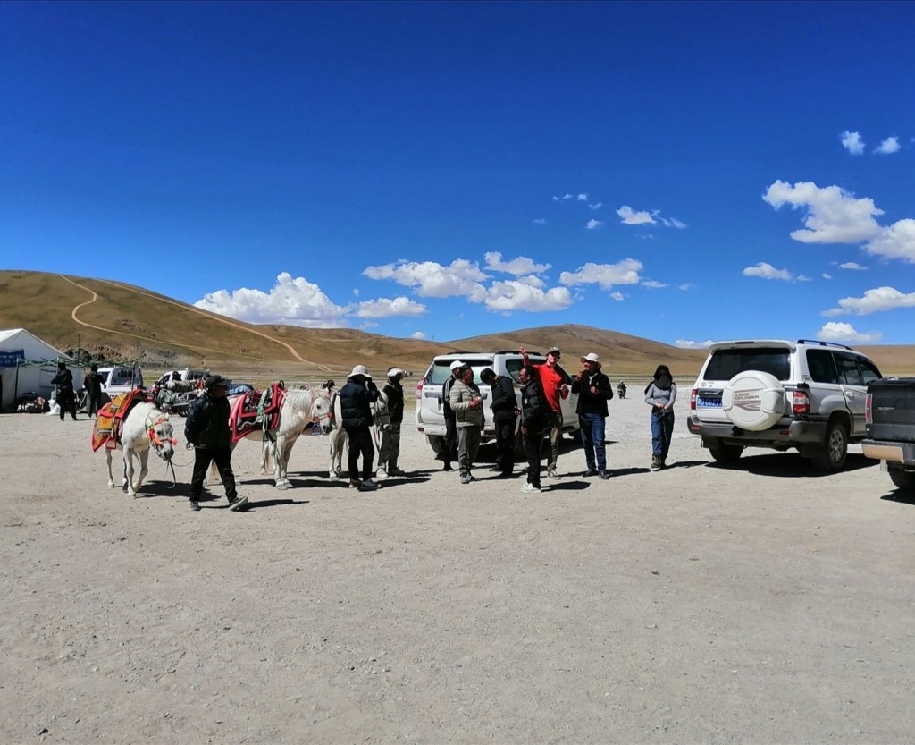
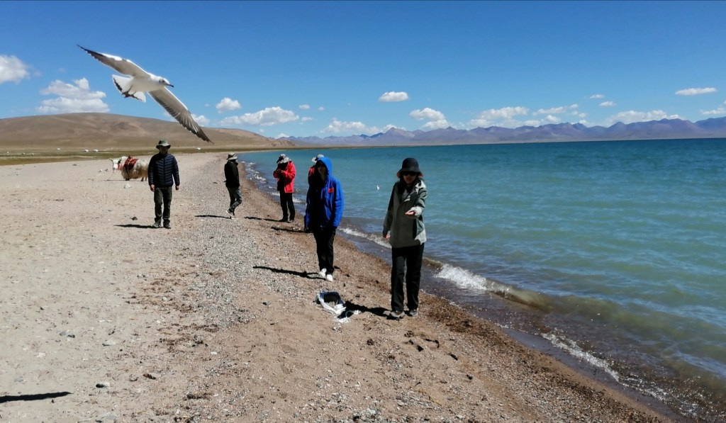
What I had failed to realise is that this pass is a highly significant drainage divide. Rain falling to the SE gets into the Lhasa River, the Yarlung, Brahmaputra, and into the Indian Ocean. Rain falling to the NW gets into Tibet, into an internally drained basin. The landscape changes dramatically from that point: we are in Tibet proper, with low relief and elevations of 5000 m on average. There are a lot of lakes too. And it gets colder and drier. After a photo session at the pass (where I’m feeling very good – totally rested and acclimatised?) we drop down to beautiful Namu Co (Co means lake in Tibetan). There are many tourists taking pictures. The colours are stunning and we have to take pictures too. After a while, Hugh comes to me and says “do you have any cash by any chance? We’ve taken a lot of pictures of this beautiful white yak, maybe we should give something to the owner”. I give 20 Yuan to Hugh who gives them to the yak owner. The owner is so happy that he drags Hugh by the arm onto the yak! “You have to take a picture on the yak in the lake”. There was clearly no point in arguing, so you will see a picture of Hugh on a white yak in a lake 😁. We then drive to Baingoin where we will spend three nights, going through gentle hills and valleys, and seeing beautiful lakes, some nested within grabens that are very obvious in the topography. I note that the Toyota Land Cruisers have done around 400,000 km. They are amazing. They are still so smooth, comfortable and able on and off road! I am feeling very good: maybe dropping to 3500 m before going up again was good for acclimating? Unfortunately, Xiao Bai is not feeling great. Her temperature is OK but she’s feeling nauseous. We will have to keep an eye on this. We have a delicious dinner, and it’s great as the restaurant as a table big enough to sit everyone, including our drivers! Eliot and I (mostly Eliot) do a bit of work in the evening, trying to get a DEM and process it with LSDTopoTools on a clean laptop (not easy). We eventually go to bed, hoping that sleeping at 4800 m will be OK.


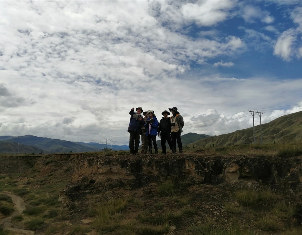
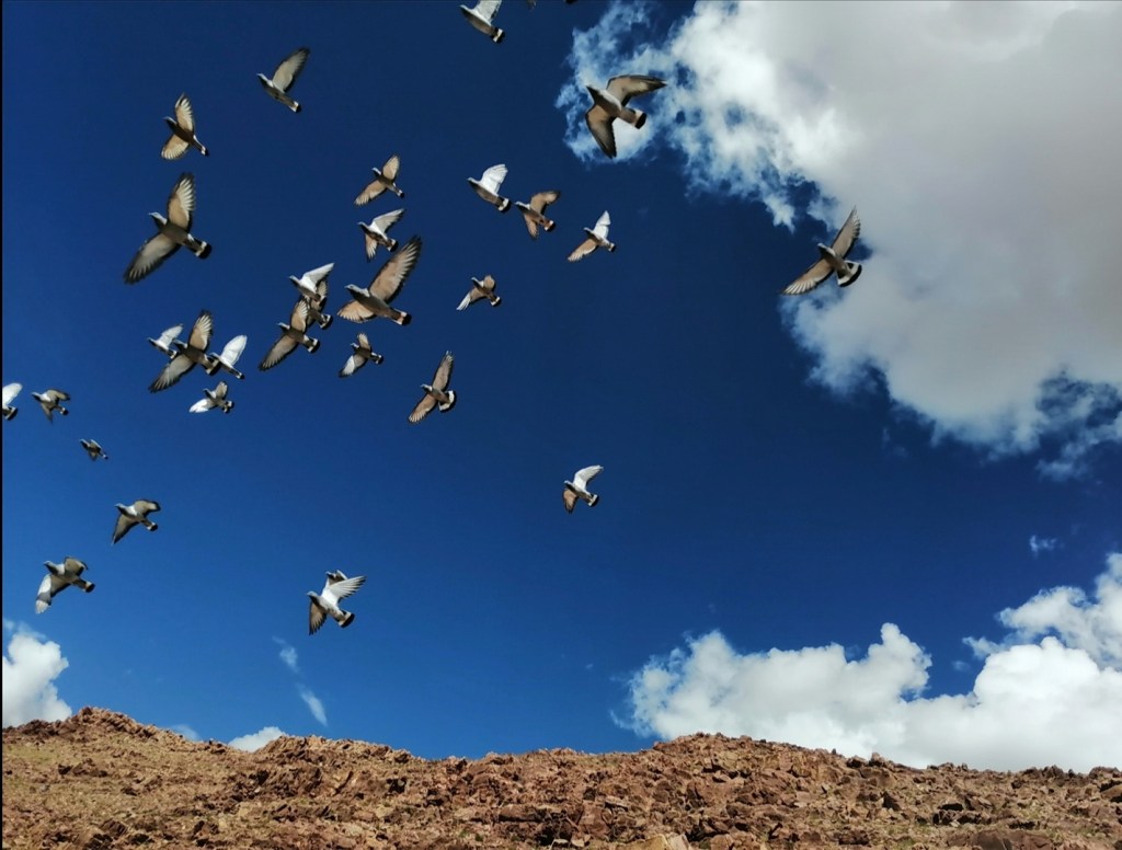
21st August: I had a horrible night, waking up regularly gasping for air and having low blood O2 levels. I used some of the O2 canisters throughout the night but woke up feeling quite rough and with a headache that didn’t dissipate all day. You won’t see many pictures today because I spent most of the day either lying on the grass or sleeping in the car with the O2 machine turned on! Xiao Bai stays at the hotel as she is not feeling a 100% neither. The aim of today was to look at the sediment of the Bangong Basin, on the northern edge of the Lhasa Terrane. We look at the sediment on the southern side first (cool red sand stones and conglomerate, and a flock of wild pigeons disturbed by the drone), then in the central part of the basin (I sleep in the car), then on the northern side (I feel a bit better so get a chance to see the sedimentary layers, including green gypsum, tilted to the vertical). We (mostly they) discuss the differences in the rocks in terms of sources of sediment, environment of deposition and tectonics, and how they changed through time. I’m happy I managed to keep my O2 levels between 85 and 92% all day. Zhongpeng puts a big O2 canister in our room for the night, which should help. We have a nice dinner and I go to bed feeling a bit better (less dizzy and with less of a headache). Hopefully we all feel better tomorrow!


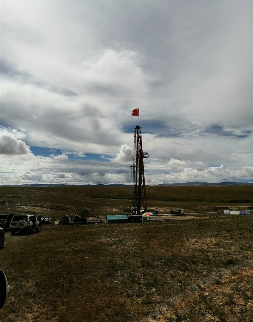
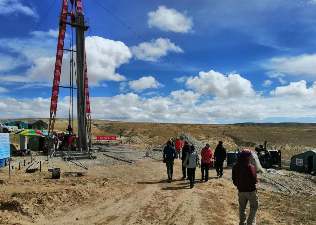
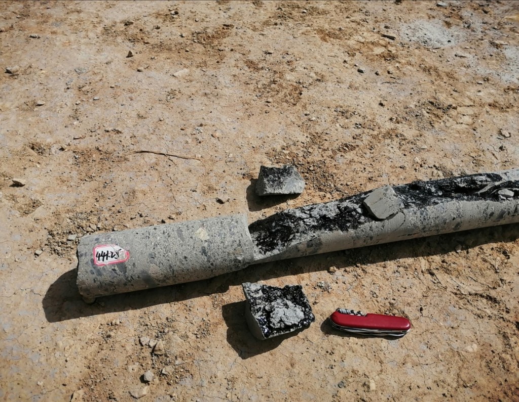
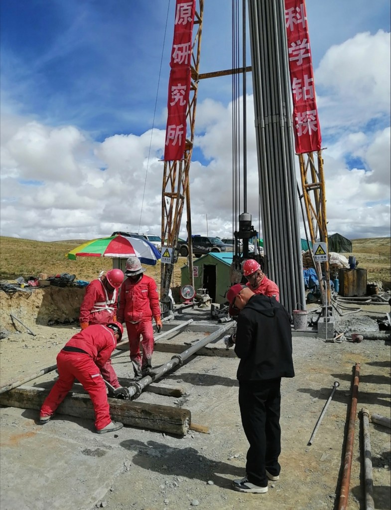
22nd August: I slept very well! I woke up at 88% O2, and kept my blood levels between 90 and 94% all day! The O2 canister in the room has certainly helped, and acclimatisation to some extent. The headache is gone, despite spending most of the day at elevations around 5000 m! We have a lovely breakfast at a very busy eatery next to the hotel. Today, we visit the Lunpola Basin, the highest petroliferous basin in the world. The basin is north of the Bangong Basin and contains up to 4 km of sediment. The exposed sediment is aged between 38 and 9 Ma (million years), and the beds are relatively undeformed (horizontally bedded) in the centre of the basin. We start by visiting a scientific rig that is aiming to core up to 1000 m depth in the centre of the basin. They have reached 750 m so far, and we are lucky to witness a 3-m long core being brought to the surface from a depth of around 750 meters! We see example of sediment from the cores: siltstone, sandstone, conglomerate and bituminen. We walk to see some rocks exposed on the hillside, aged 21 Ma (age of the top of the core): they are finely laminated muds (lake sediment) that contains all sorts of fossils, including fish.


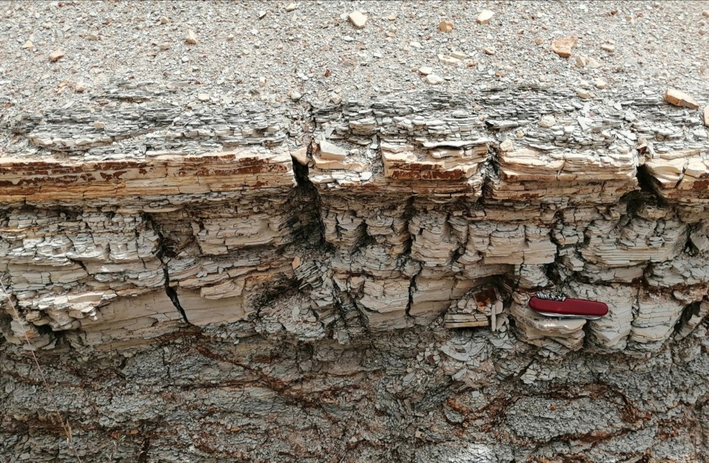
We then drive north, to the edge of the basin where the rocks have been folded to the vertical under a thrust coming from the north: this means we can easily travel through the succession and identify changes in the environment at the time of the deposition of the sediment. We have a picnic first by a lovely small river. Picnic consists of various bits of processed food, leftovers from breakfast, chili sauce and yak meet brought by a ranger, Jiashi, who joins us for the day. We then go to see the section which, over maybe 20 meters, dramatically changes from river sediment (gravel, sand, evidence of channels and fluvial transport) to mudstone (deep lake): this section demonstrates lake levels rising very rapidly. We discuss fluvial processes and their record in stratigraphy with Xinhang, in particular the difference between meandering and braided channels. We then have a long drive back to Baingoin. I’m feeling very well! A bit tired but well.
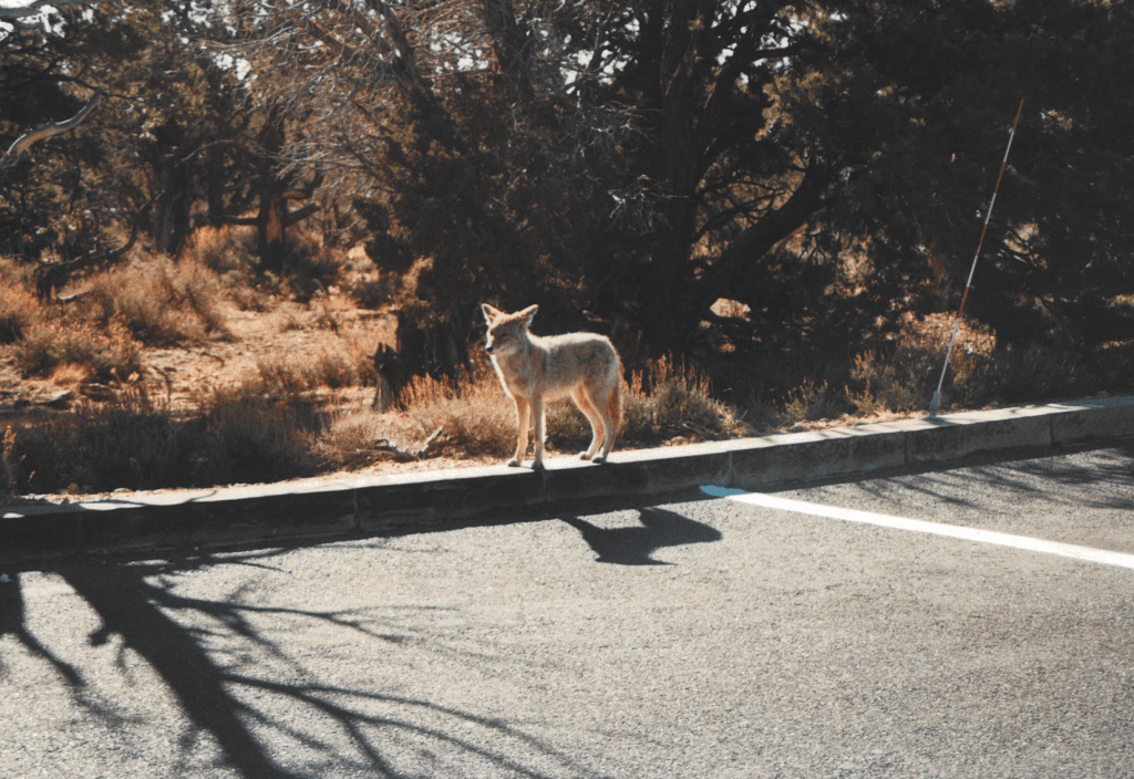
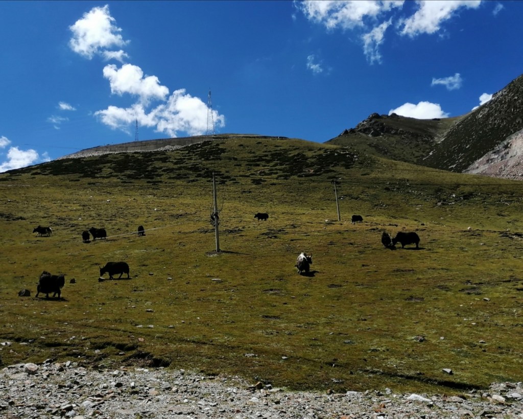
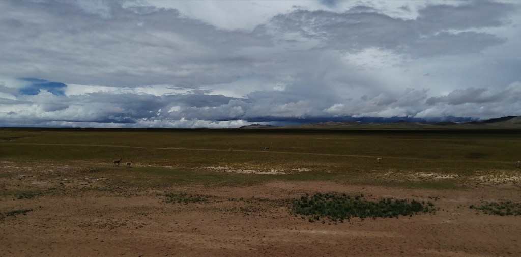
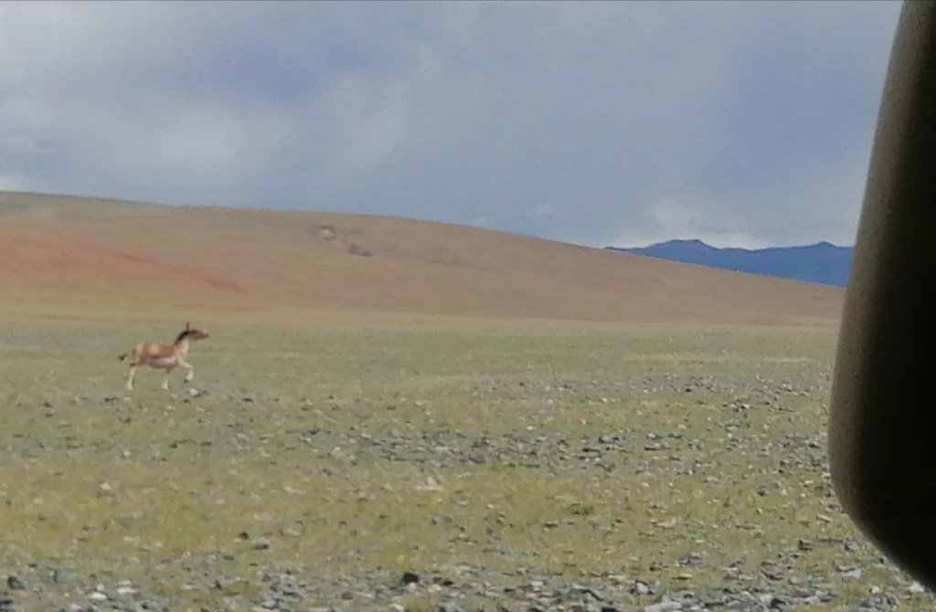
The wildlife today has been amazing: wild yaks and deer, athletic wild donkeys “chasing” our convoy on the move (this was particularly spectacular), birds of prey, a fox, some geese and cranes, and chipmunk-like rodents. The landscapes were incredible too: just so vast (les grandes étendues)! It feels like being in the Serengeti! You won’t see pictures of wildlife in this blog though, as my phone camera is not good enough. I’ll add links to Darwin’s and our photographer’s pages in due time.
We’re back at the hotel at 6pm, tidy ourselves up and go for dinner. They clearly don’t see foreigners very often here: the stares are insane! But most people end up smiling and trying to say a little something, which is nice. Baingoin is actually very nice, with many young trendy-looking people around, and little busy shops everywhere. We have a nice dinner. Xiao Bai is feeling better. All is good! We put the O2 on in the room tonight again: better safe than sorry!


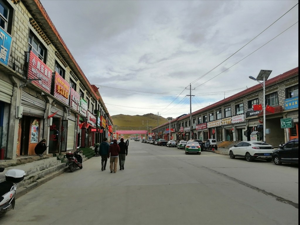
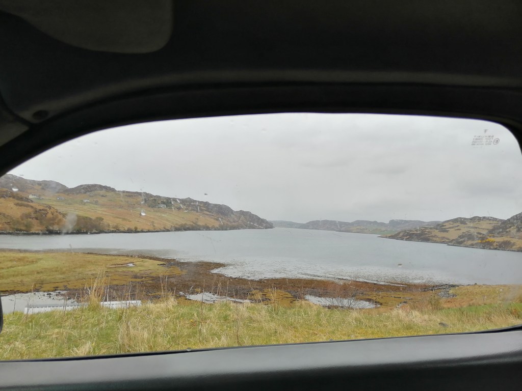
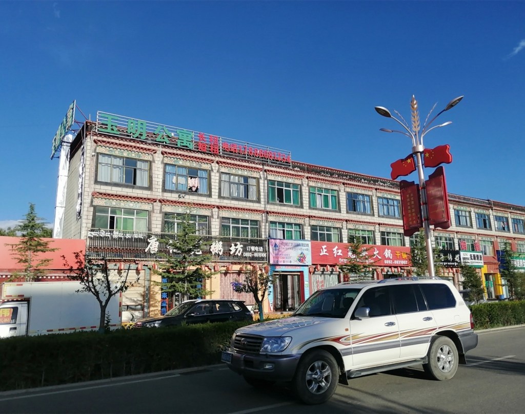
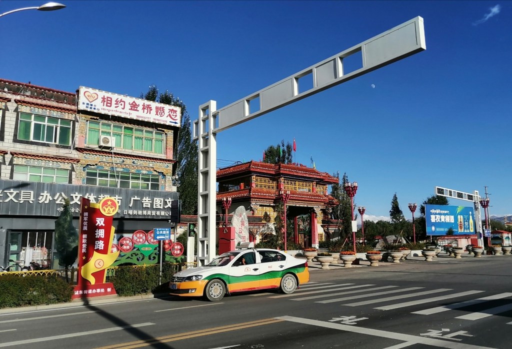
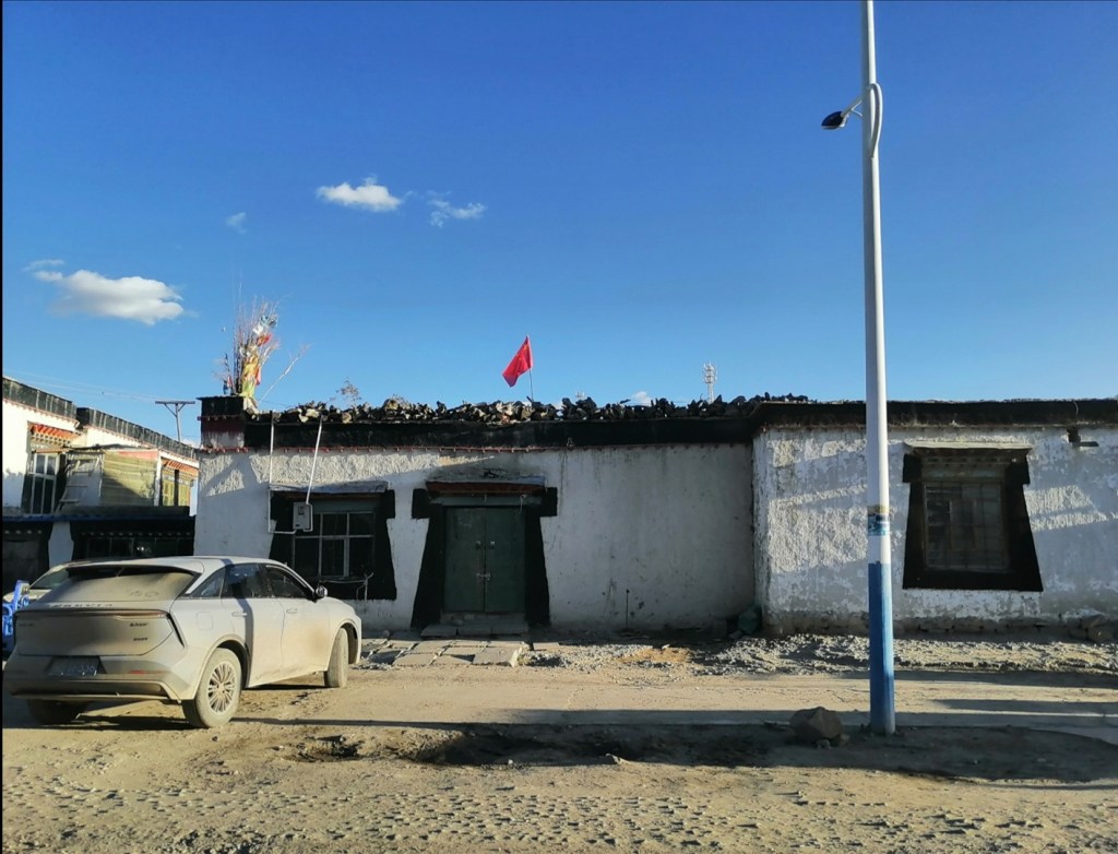
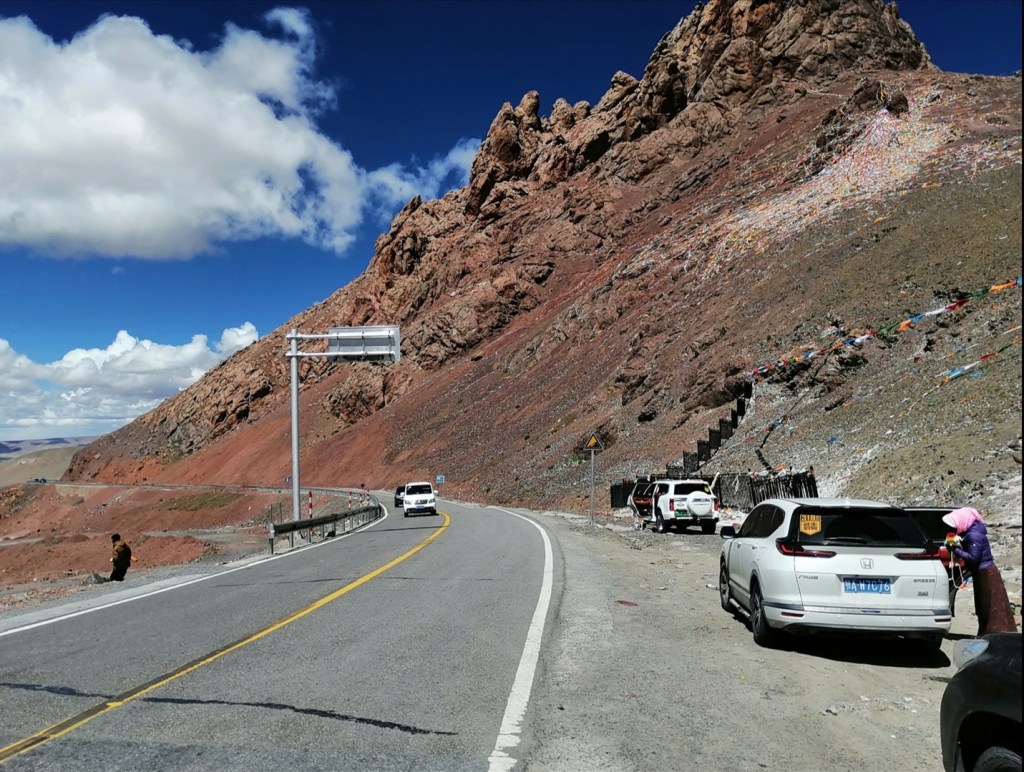
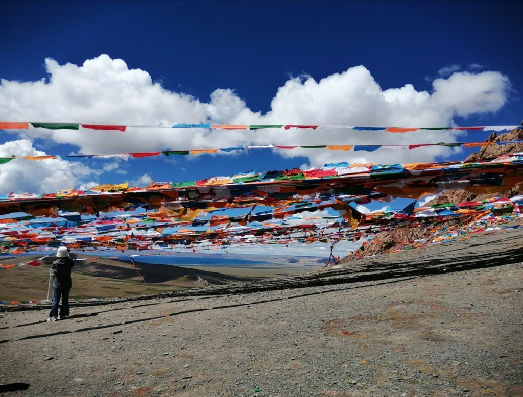
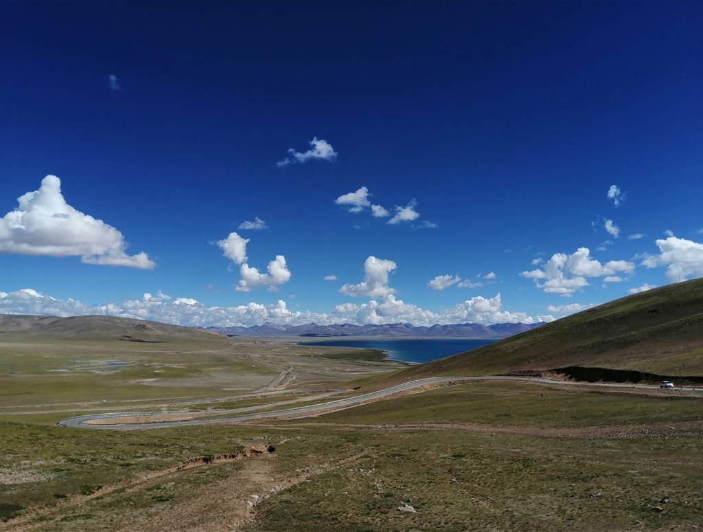
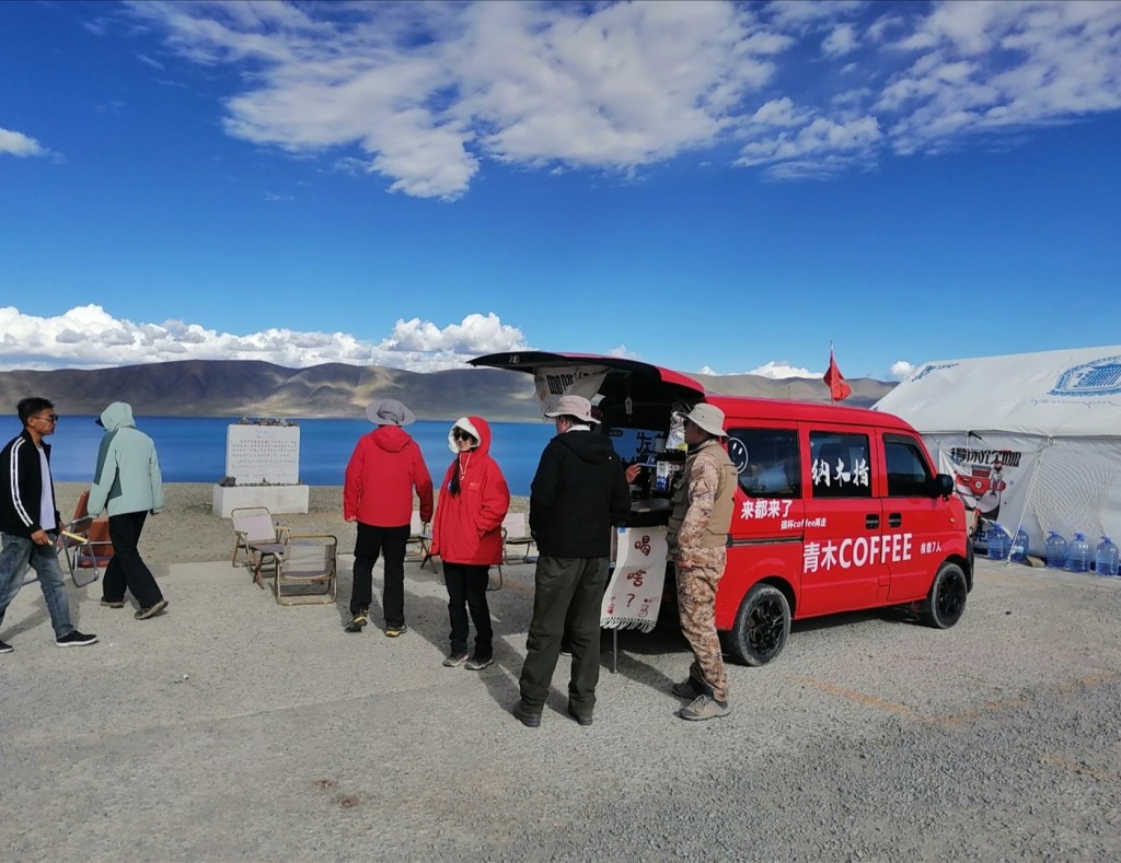
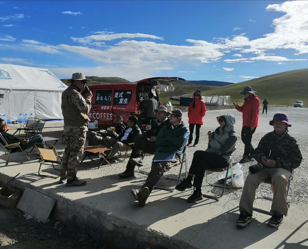
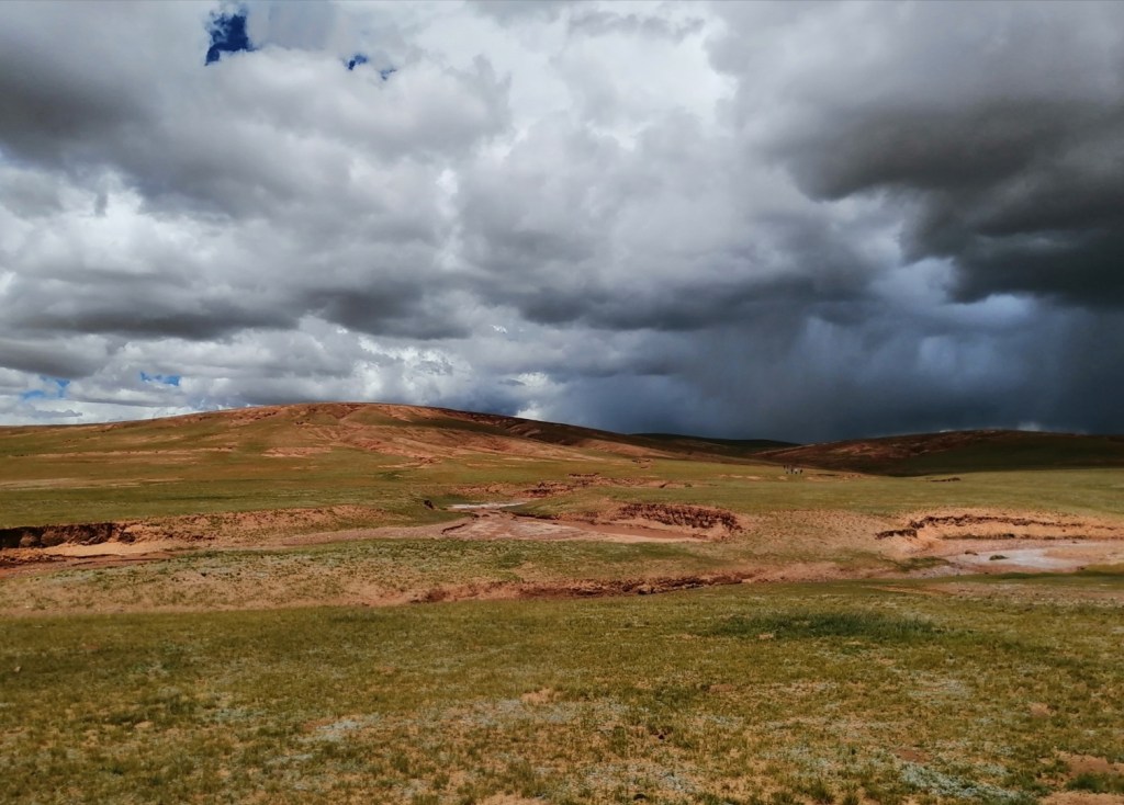
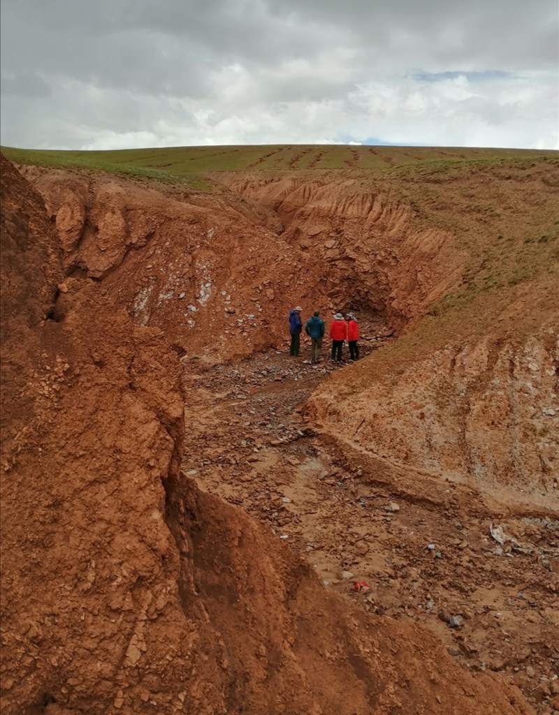
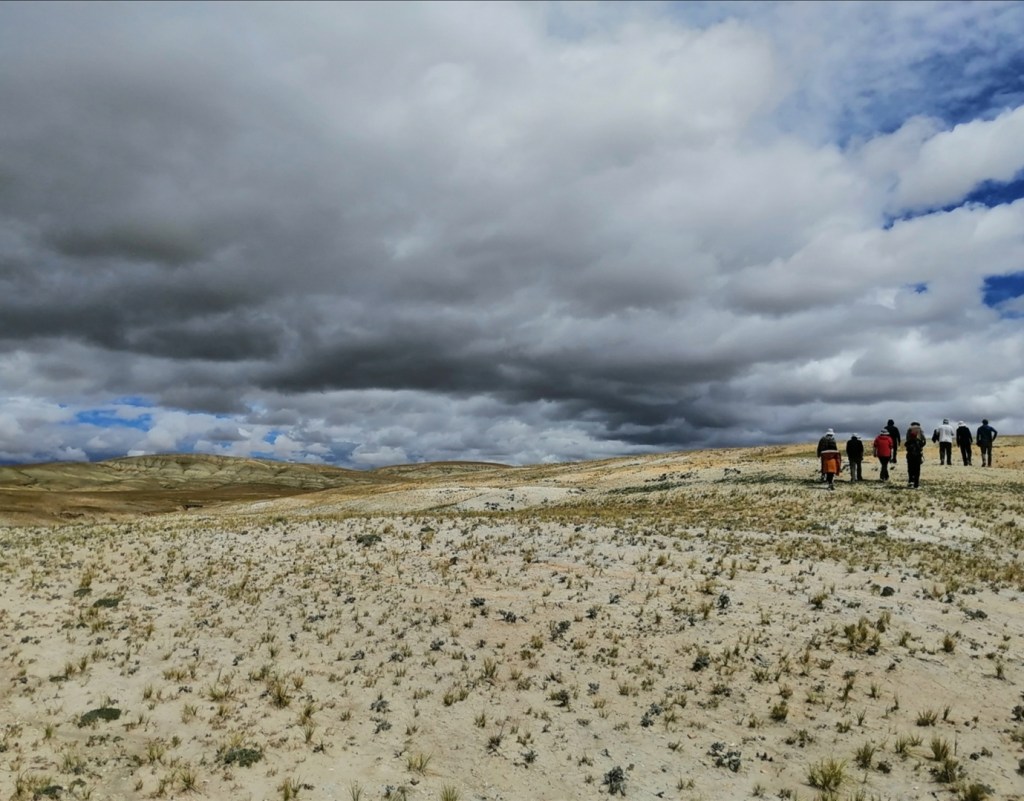
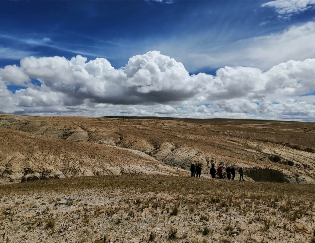
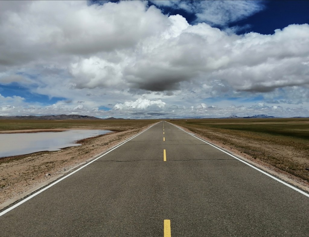
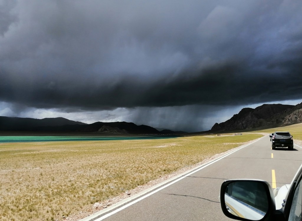
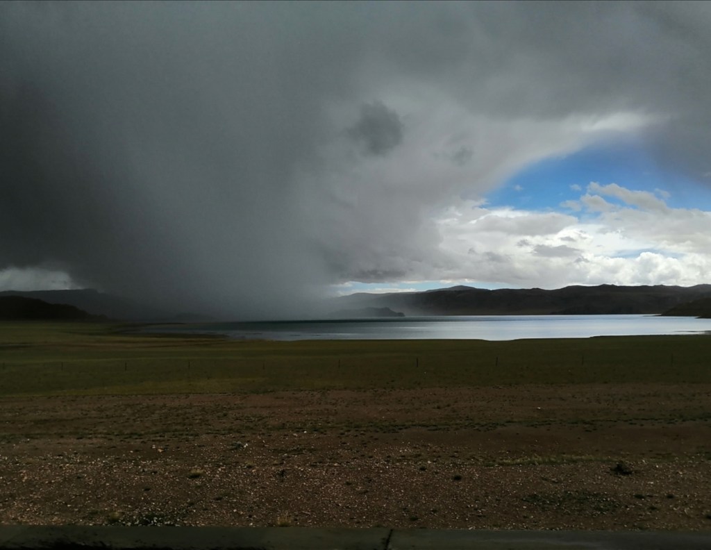
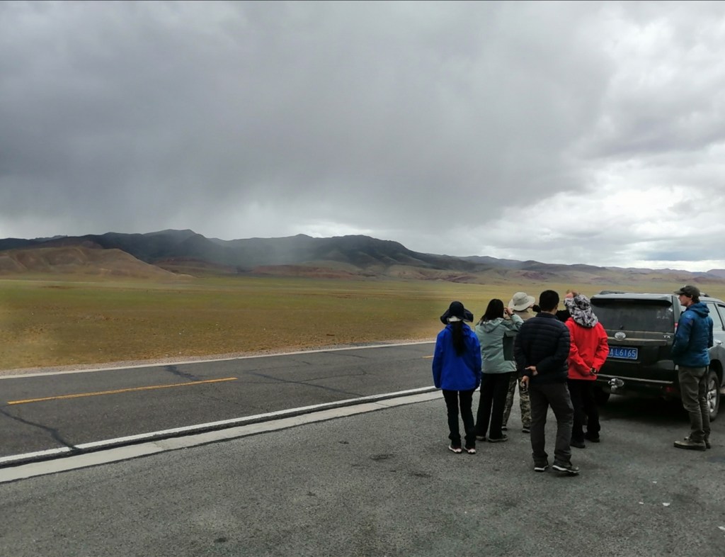
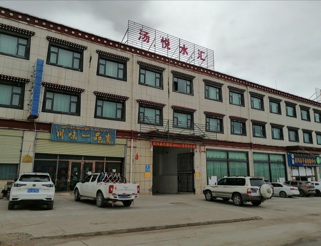
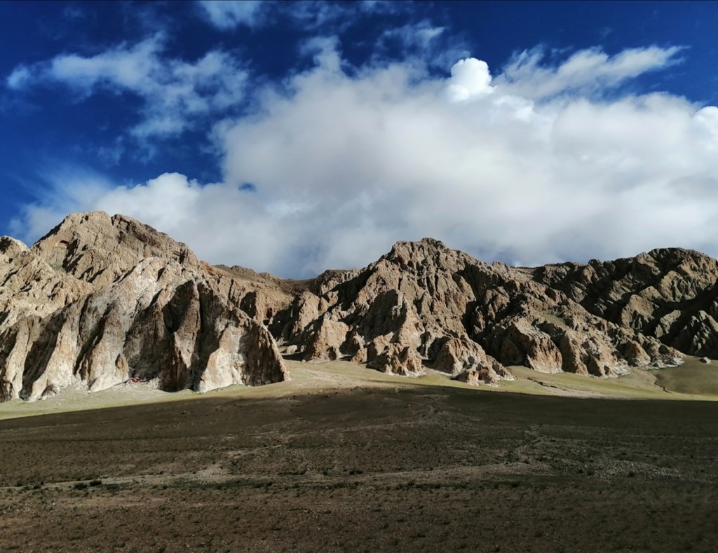
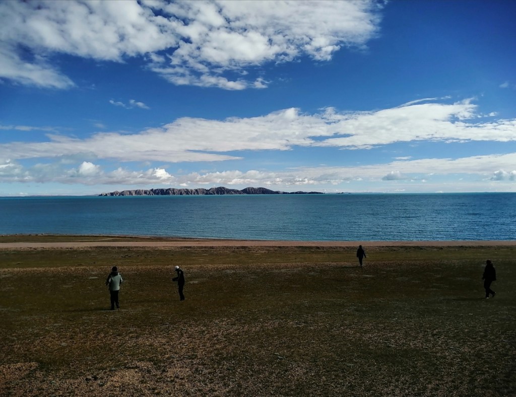
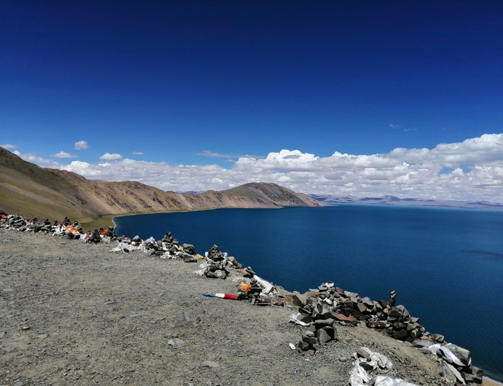
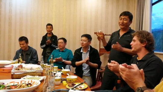
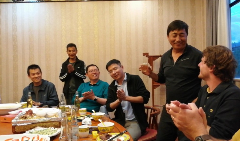
23rd August: good night! We have an early breakfast, load the cars, and we’re off to Nima, further west, at a slightly lower elevation of 4500 m. Weather is overcast. As we drive west, we pass salt lakes, some of which are exploited. We drive through a saddle between a smallish lake and the huge Selin Co lake further west: we see devastation. It looks like a dry, active river bed, and the road is being repaired. Zhongpeng tells us this used to be marshes, but Selin Co overflowed last September, for the first time in living memory, and the marsh and the road got wiped out! We discuss how such events may be preserved in the sedimentary record. Actually, we spend most of the day thinking about modern processes, as the current topography is similar to some extent to that in the late Cenozoic, and about the signature of these processes (river and delta processes, large floods, glaciation) in stratigraphy. We have a quick stop at the Zayazangpu River, the largest internally draining river in this part of Tibet. We’re now on the NW margin of the Lunpola Basin. To the north, formations that make up the Qiangtang Range (Cretaceous limestone that makes large white cliffs, mélange, sandstones) are thrusted over towards the south, and the sediment have been tilted to the vertical. Zhongpeng has studied this section which is around 35 Ma old and shows a transition from conglomerate (river) to delta to shallow lake. We drive around Selin Co counterclockwise, have a quick lunch at its NW tip (I hope I won’t regret eating that very smelly / rotten piece of yak), and are given an introduction to another section nearby, dated 59-48 Ma. It appears the Nima, Lunpola and Bangong basins were connected in the early Cenozoic, forming a large W-E depression (with palaeoflow directions consistently to the W), then topography rose in between the basins, potentially associated with strike-slip movement (transpression / transtension?) As we keep driving west, we drive through pretty dramatic rainstorms. We have a quick stop at 4pm shortly before Nima, where we are introduced to the North and South Nima basins, and the spectacular glaciated peaks of the Qiangtang Range to the north (elevation > 6000 m). We arrive at the Sunshine Hotel in Nima at 5pm (Nima means sun in Tibetan). We check in and get refreshed while poor Xinhang is (again) on paperwork duty for us. We have dinner (and we thought people starred at us in Baingoin!) then have a project discussion all together.


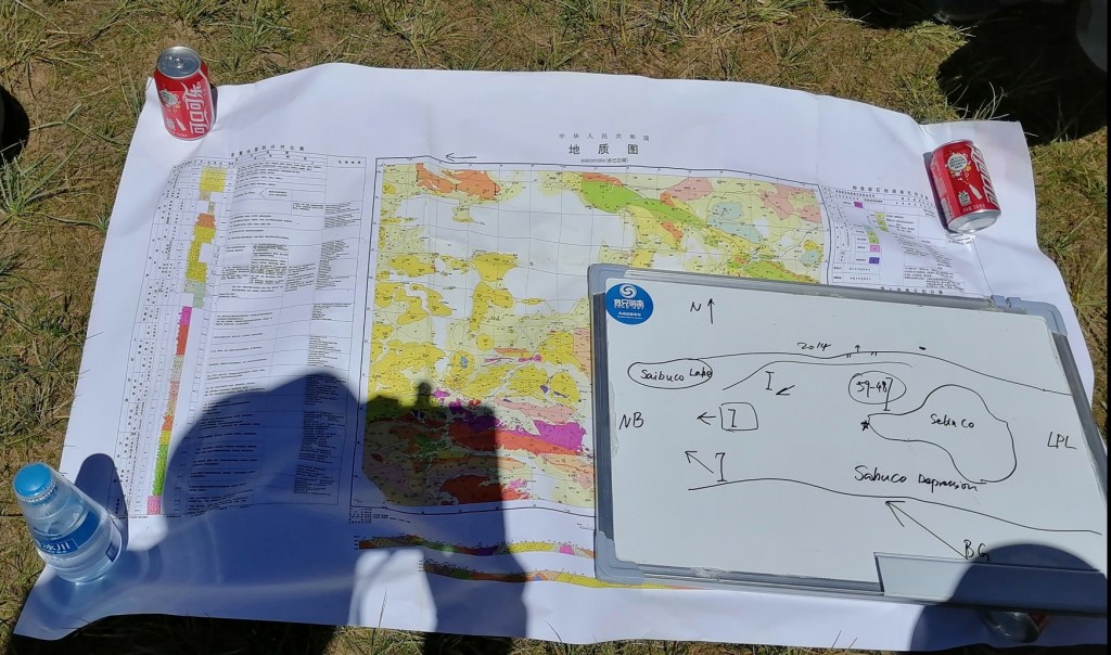


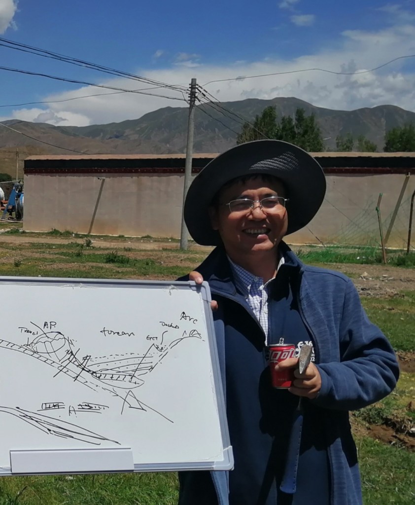
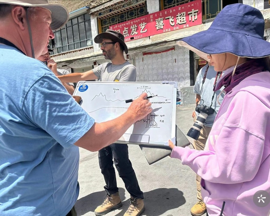
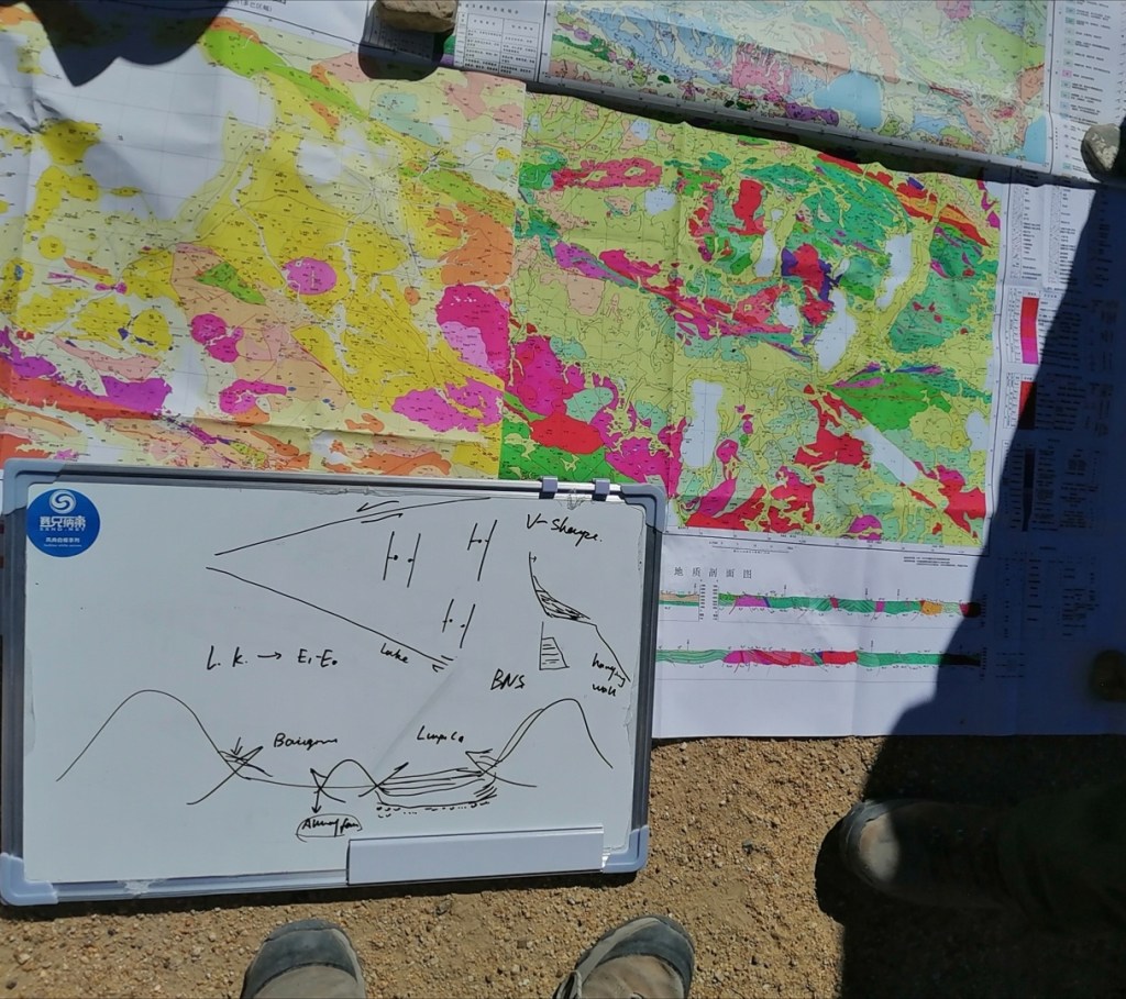
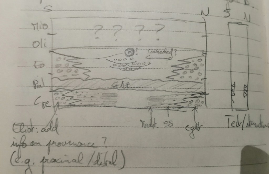
Among the things we discuss, Hugh mentions the benefits of making chronostratigraphic diagrams for each basis, as shown below. While it looks like the different sections outcropping in the region have been studied in great details, it appears many gap persists, and more could be done to better constrain the dynamics of the past river systems and the type of landscape they were flowing across. Such diagrams could really help identify these gaps, in particular in the Paleocene-Eocene which is the period Xinhang focuses on. I really like the idea. We then go to bed, without forgetting to plug the 02 in the room. I don’t know what Zhongpeng and his colleagues are on, but they appear full of energy; we’re wiped!
24th August: I had a good night and am feeling good overall. Today, we focus on some of the Nima Basin sections documented in particular by De Celles and colleagues. Another ranger called Jiashi joins us for the day. We start by looking at section 1NM, just around the corner. We have a vertically bedded Oligo-Miocene succession with again a mixture of fluvial sandstones and conglomerate, as well as mudstones and lacustrine limestones (the latter probably needing a sustained lake environment for 100s to 1000s of years, being up to 20 cm thick). Are we looking at meandering or braided rivers? Can we get a paleo-discharge for a river that transported coarse sand as bedload? The river system seems to transition from meandering (isolated sandy channels within thick mudstones) to braided, but it is not clear cut: can rivers be mixed braided-meandering? Again, we try to draw parallels with the modern river nearby that shows multiple bars within a broadly meandering channel. We are in the south Nima Basin and the rivers at the time were transporting clasts of various lithologies sourced from the south (Lhasa block). The weather is not amazing so we have coffee and cake at a local café in Nima.
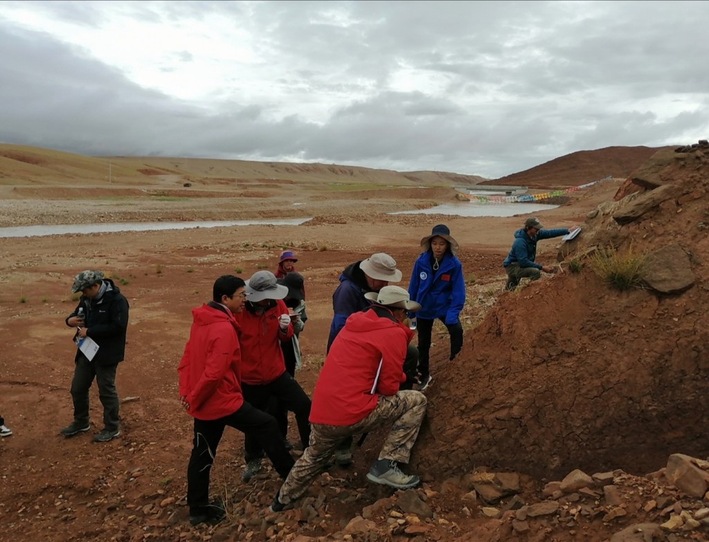


We then move to the North Nima Basin, section 2MK which has only one pollen age. We have lunch. Here, we see beautiful aeolian sediment, intercalated with more fluvial sediment: rivers probably crossed a dune field, and the sand grains are neither very well sorted nor well rounded. Unlike in that Sahara where grains can be transported by wind for hundreds of km, here there is more interactions between fluvial and aeolian processes, similar to Xiao Bai’s modern site on the Yarlung! We then get into conglomerate, vertically bedded, sourced from the North (Qiangtang Terrain). There is a huge diversity of clasts, rounding, sorting: this was a very dynamic river, with depth up to 2 m. How different was it from the modern nearby? It could have been of similar size: in particular, the grain size of the transported sediment is very similar (although the modern transports 90% beautiful silicified limestone). Was it an axial river? A major tributary? We discuss the lack of sorting in some beds: mass flow? Not necessarily, as researchers have shown that flash floods transporting large amounts of sediment can have limited vertical sorting / surface armouring (e.g. Gary Parker’s books). Could this be a flashy river? We observe a sharp transition to sandstone-mudstone, then back to conglomerate: could this demonstrate avulsion?

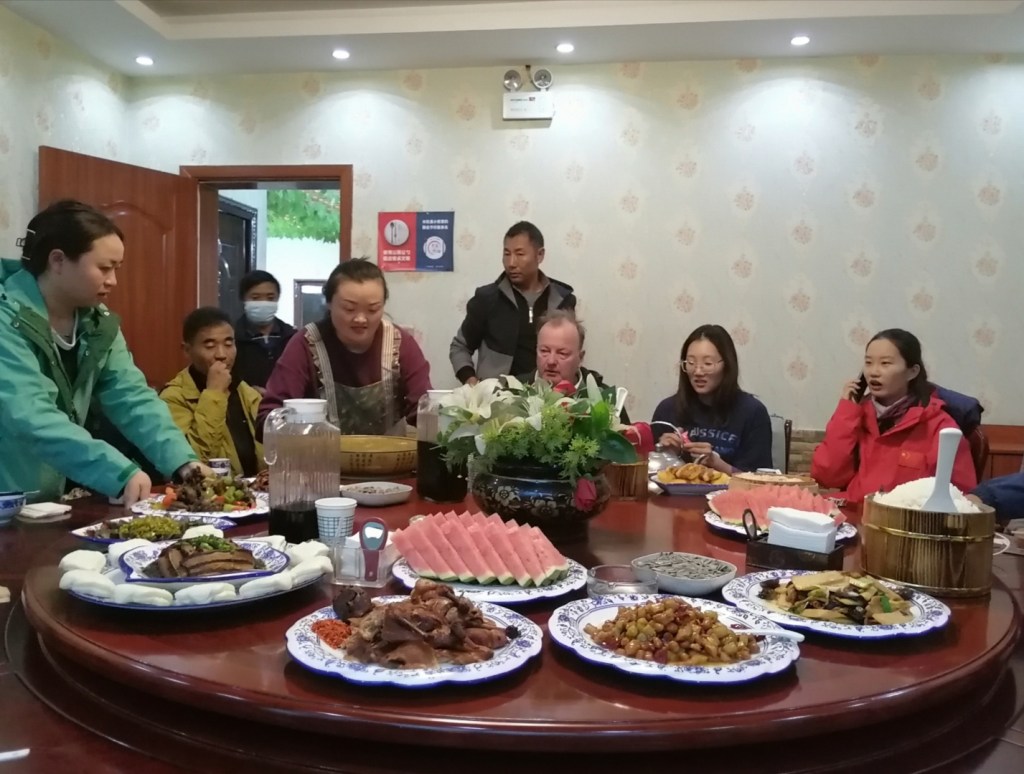
We finally drive back towards Nima and east for a few km, back to the site we briefly looked at yesterday evening. We see amazing wildlife in the way; the wild donkeys and cranes are amazing. We arrive section 2DC, south Nima Basin. Sediment was sourced from the south (Lhasa Block), and we see the units from the Lhasa Block being thrusted over the sediment towards the North (+ growth strata?) Again, some beautiful sedimentology here: so much could be done looking at pebble lithology and shape! We see beautiful river sediment with gravel, sand, channels, cross-beds, scour surfaces, and even some wave ripples testifying to a shallow lake environment. Hugh says that the fetch distance of the wind that created the waves can be calculated based on the grain size of the sediment and wavelength of the ripples: this can give a minimum estimate of the size of the body of water. We discuss methods to get grain size and other grain characteristics from vertically bedded conglomerate. We then go back to the hotel where we have a productive discussion with Zhongpeng, Xinhang, Xiao Bai and Gao Yan about the current status of each project and potential for future work. Wait, is this really the last day in the field?! We have dinner in town, and then get ready for our last night at high elevation. Tomorrow, we have a very long drive (700 km) to Lhasa.


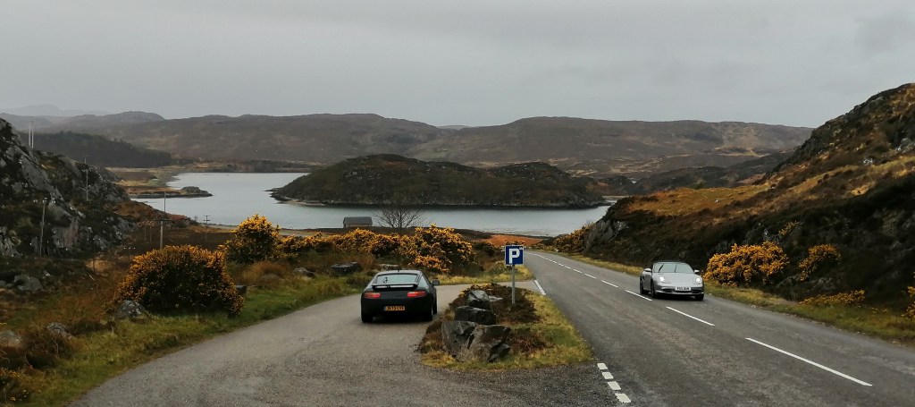
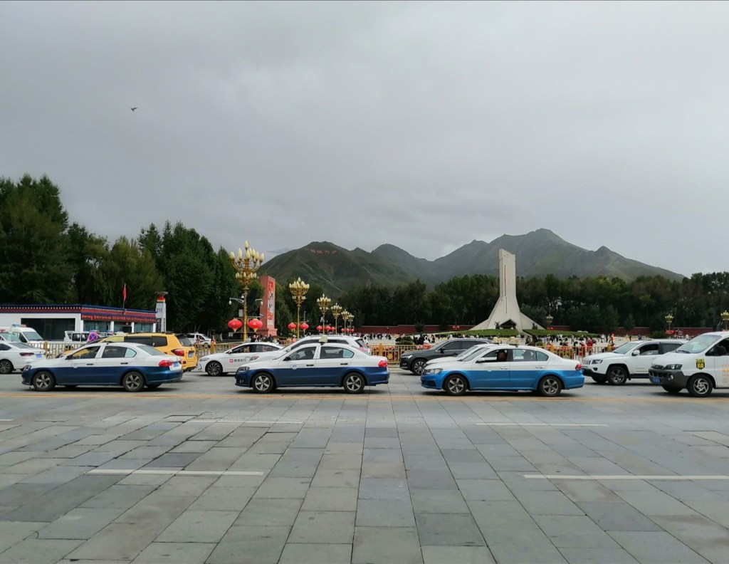
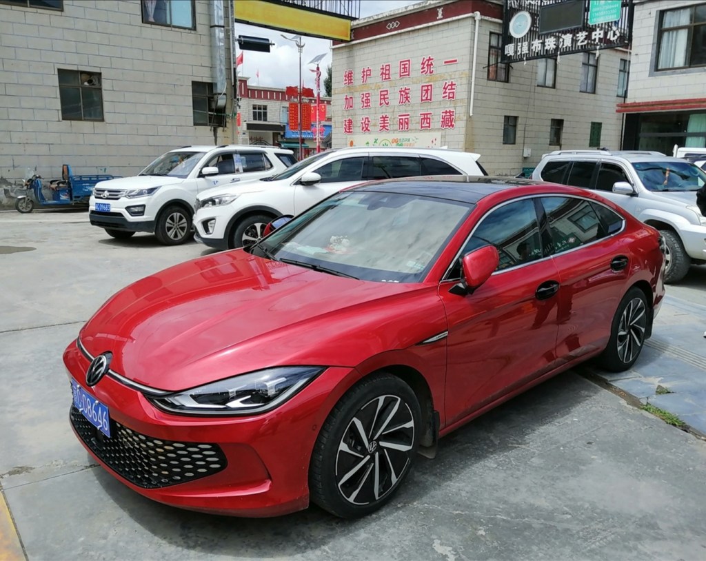
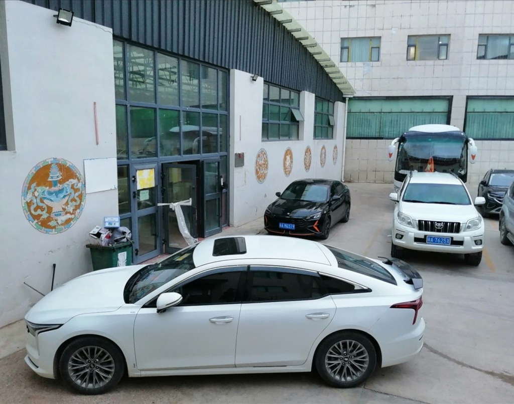
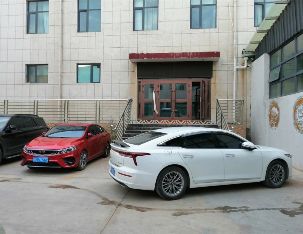
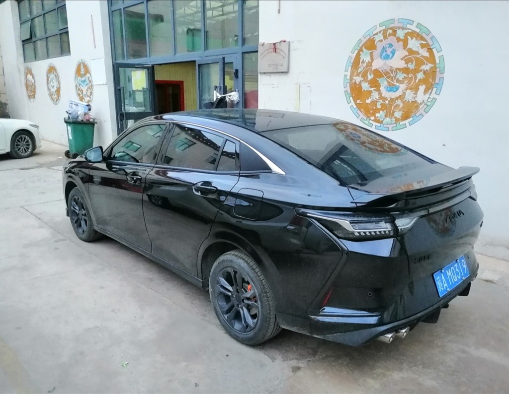
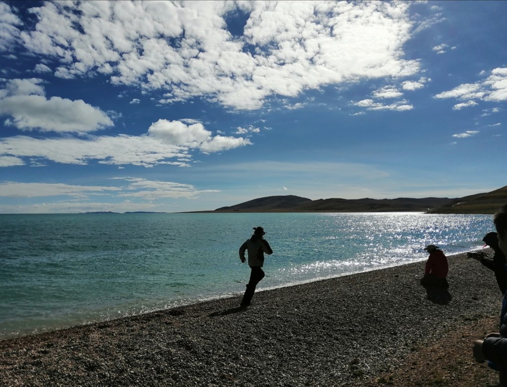
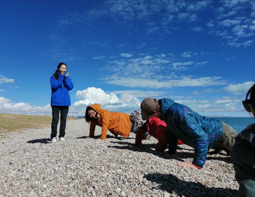
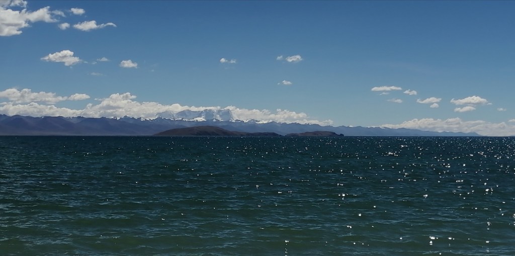
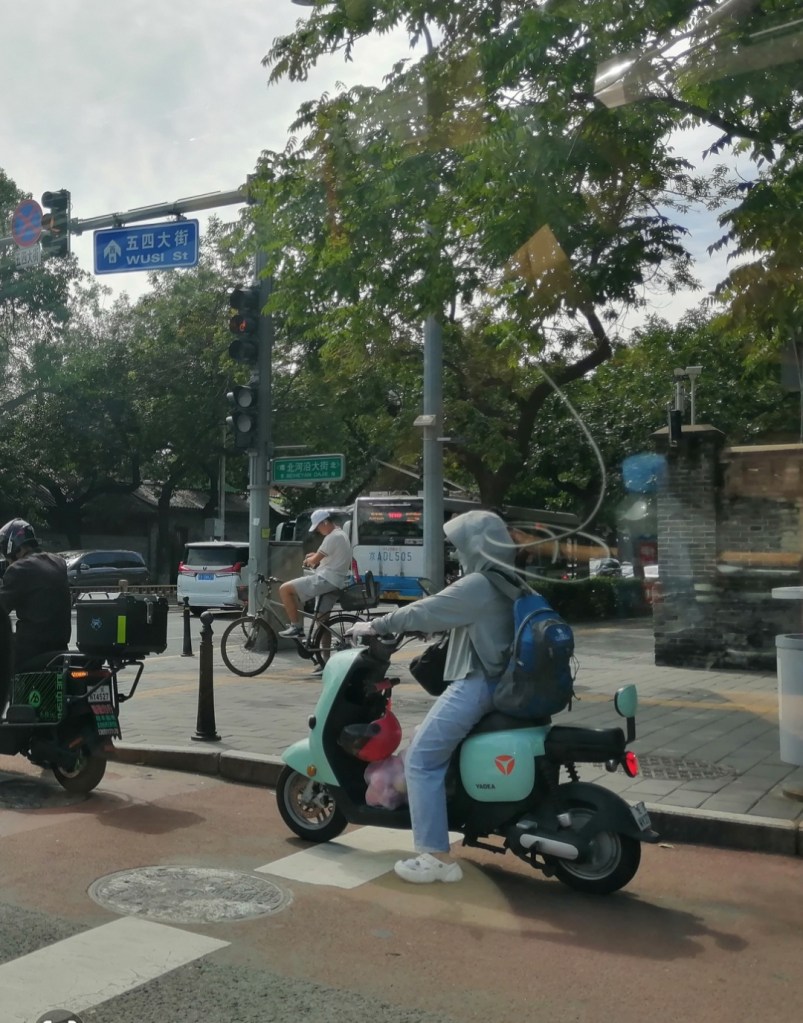
25th August: travel back to Lhasa. We have an early start, leaving Nima at 8am. The parking is very busy and I get overexcited about the sleek Chinese sedans on display (why can’t we have good looking cars like that in Europe?) We travel via the south side of Selin Co, with a brief stop to look at beautiful palaeo-shorelines, take pictures and work out a bit since we now have all these excess red blood cells! On the way, we witness the ingenuity of drivers trying to avoid average speed cameras: they either take a break or drive off-road around the cameras, which creates some intriguing situations (small cars driving across rocks, or cars getting stuck behind fences). We have a quick stop at Nam Co as well: no yak riding, but a stunning view over the 7000 m peaks that make up the shoulder of the half-graben. Interestingly, the slopes are very steep on that side of the uplifted block, and gently dipping on the fault side (I would have expected the opposite). Is it a low angle normal fault? We arrive in Lhasa at 19:30. Chindo is clearly very happy to be back, as he blasts one of his favourite songs (“Fly” by Anu, a popular Tibetan band), windows down, while we drive to a BBQ place! We have a very lively evening, with many toasts. Since I don’t like beer, Miao decides to make me toast with soy milk. Not the best idea: my poor tummy. Or maybe it was the crayfish. Or the shellfish. Or something else… I sleep OK nevertheless. Tomorrow, we have a day off in Lhasa, which should be nice!


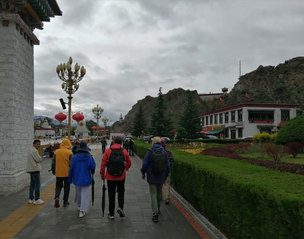
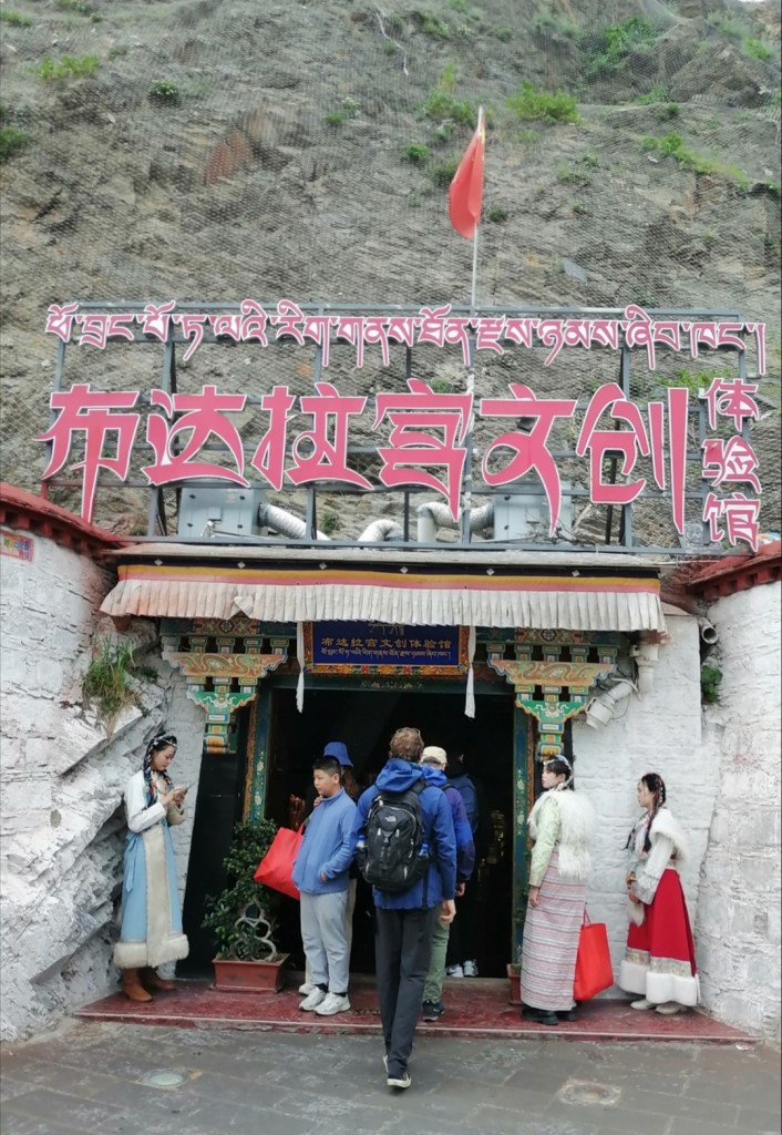
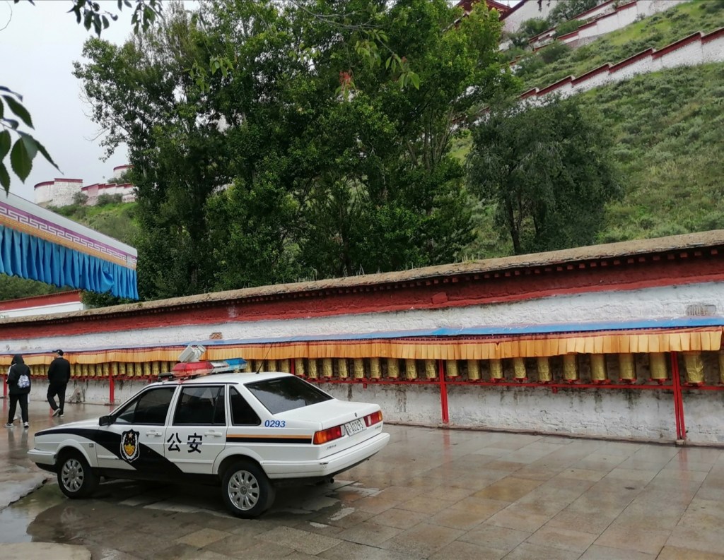
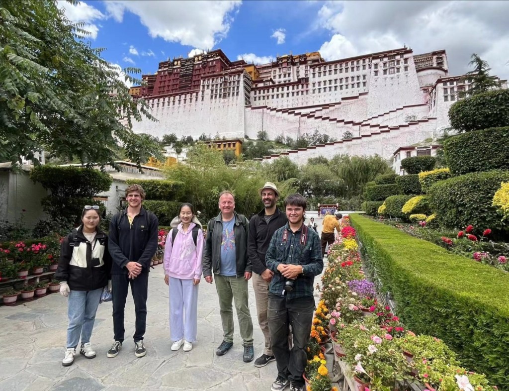
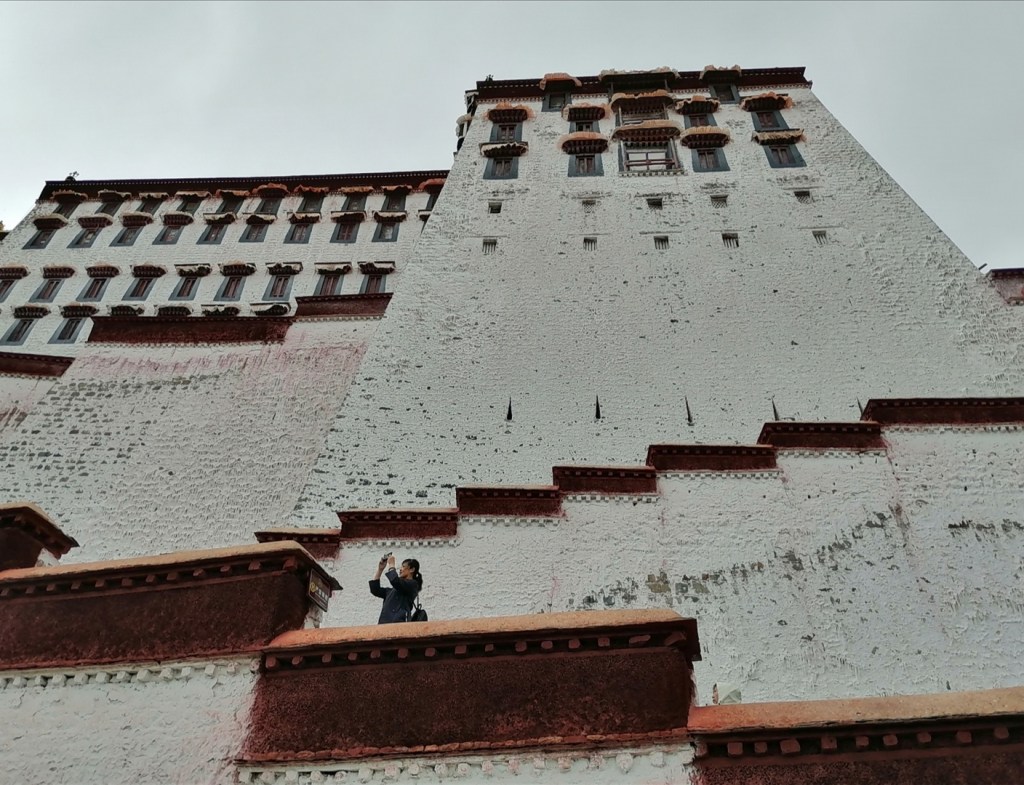
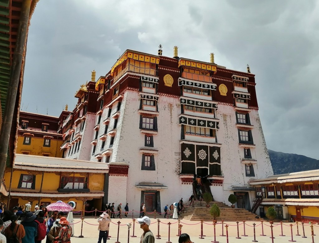
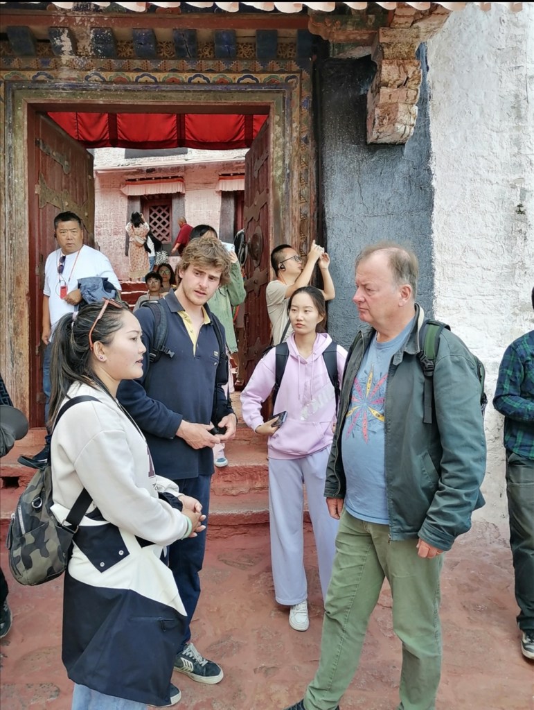
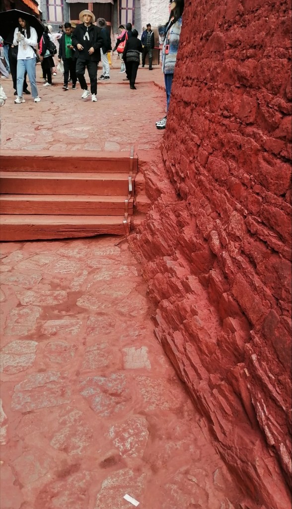
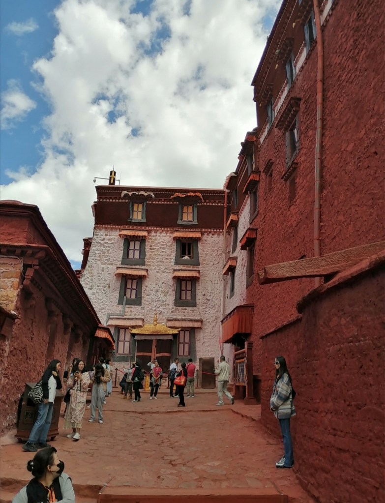
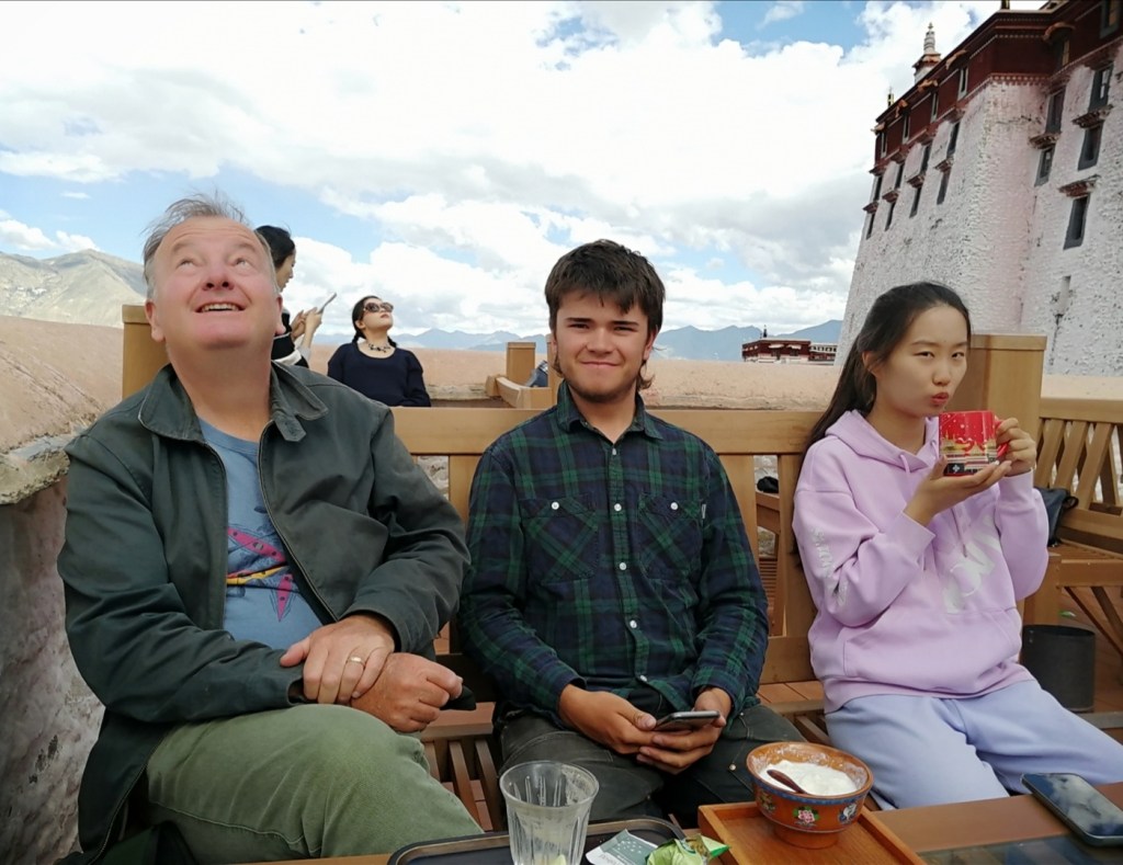
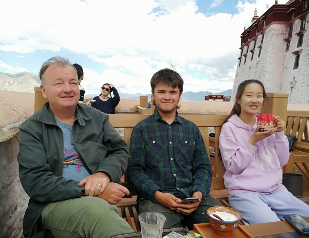
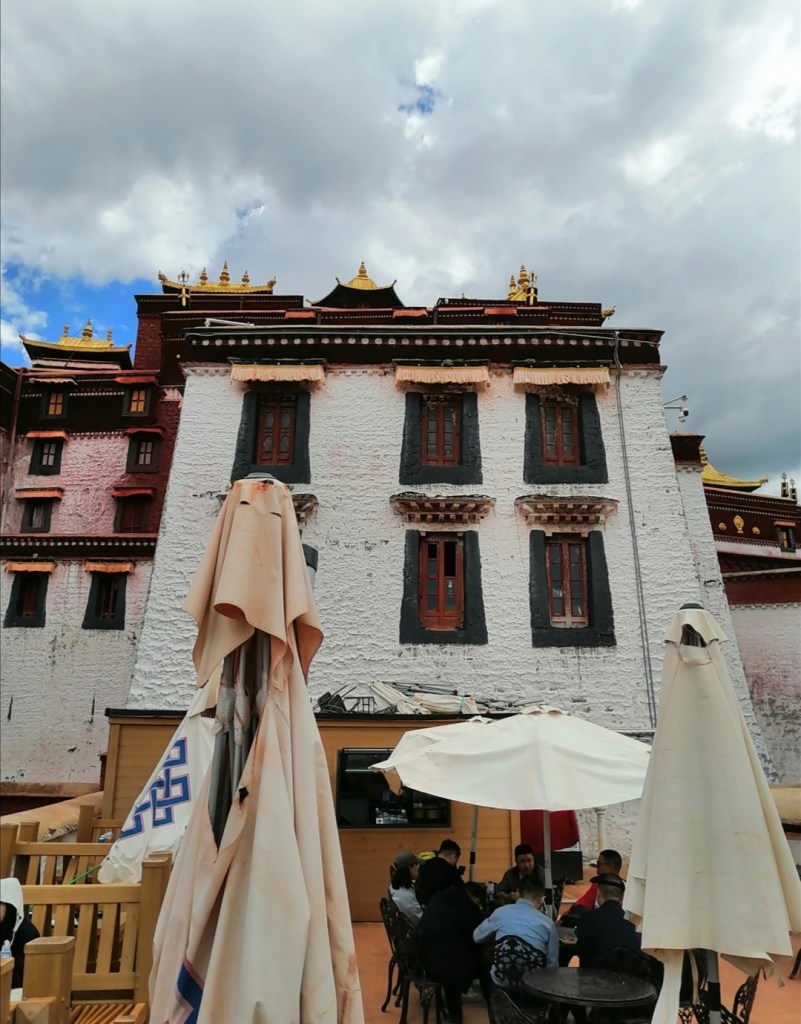
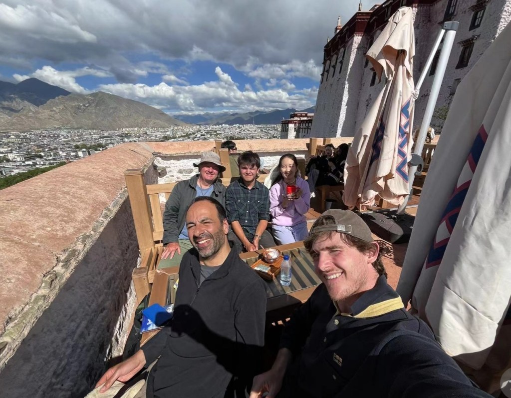
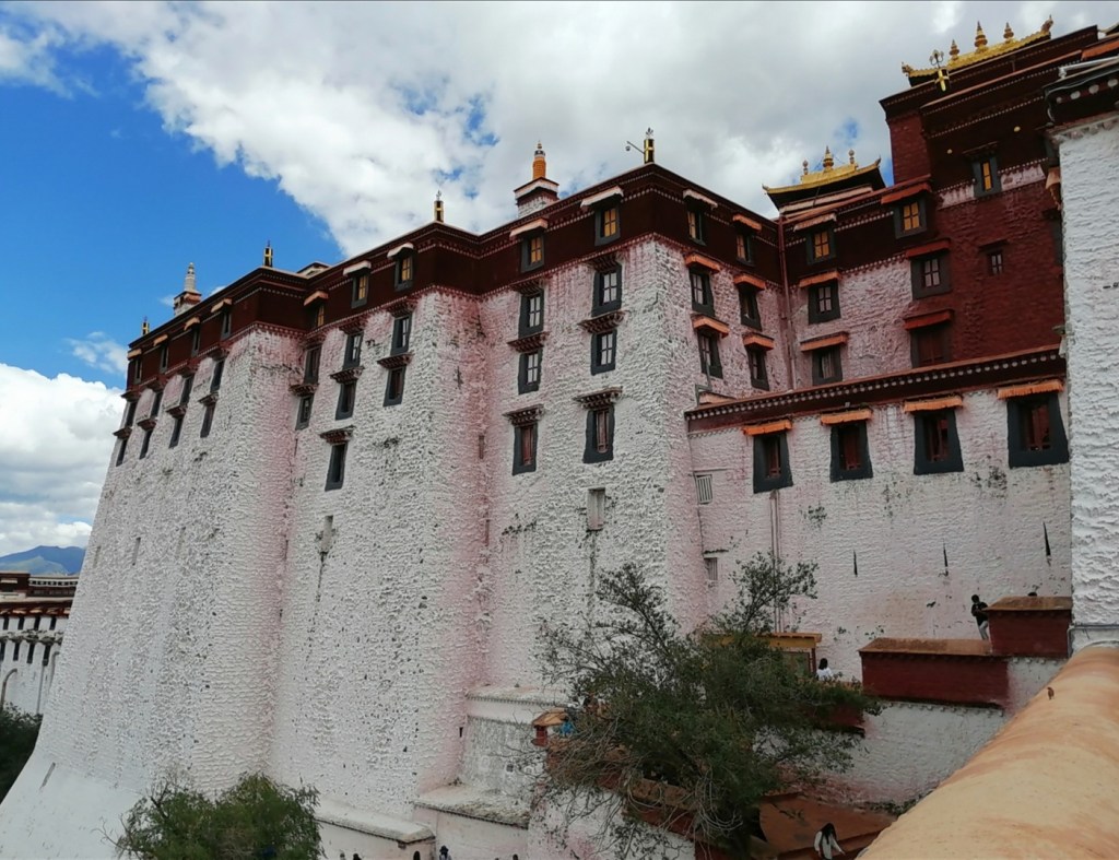
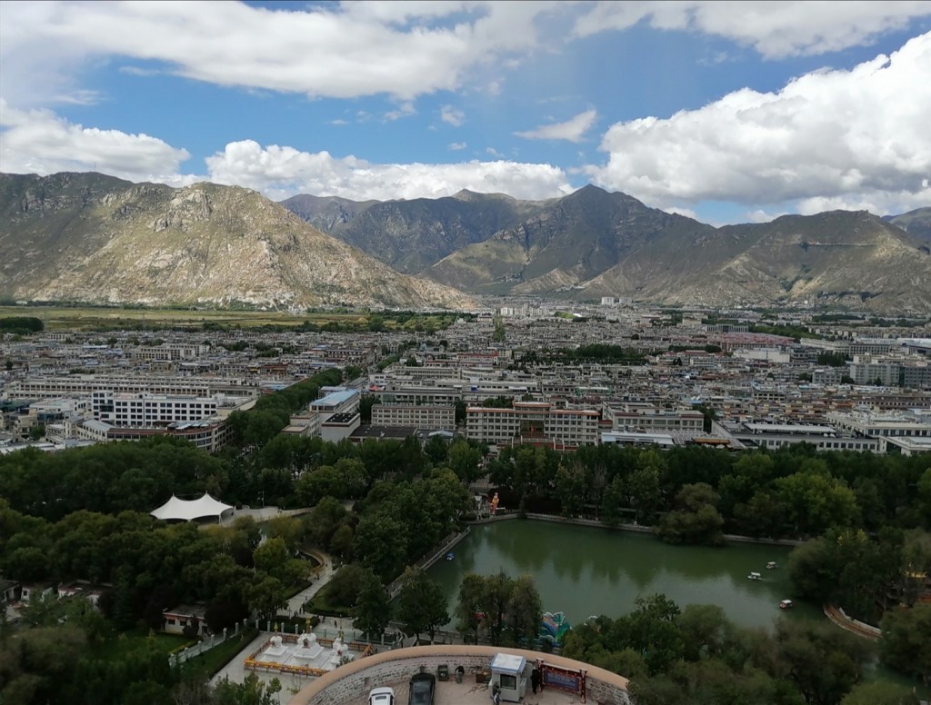
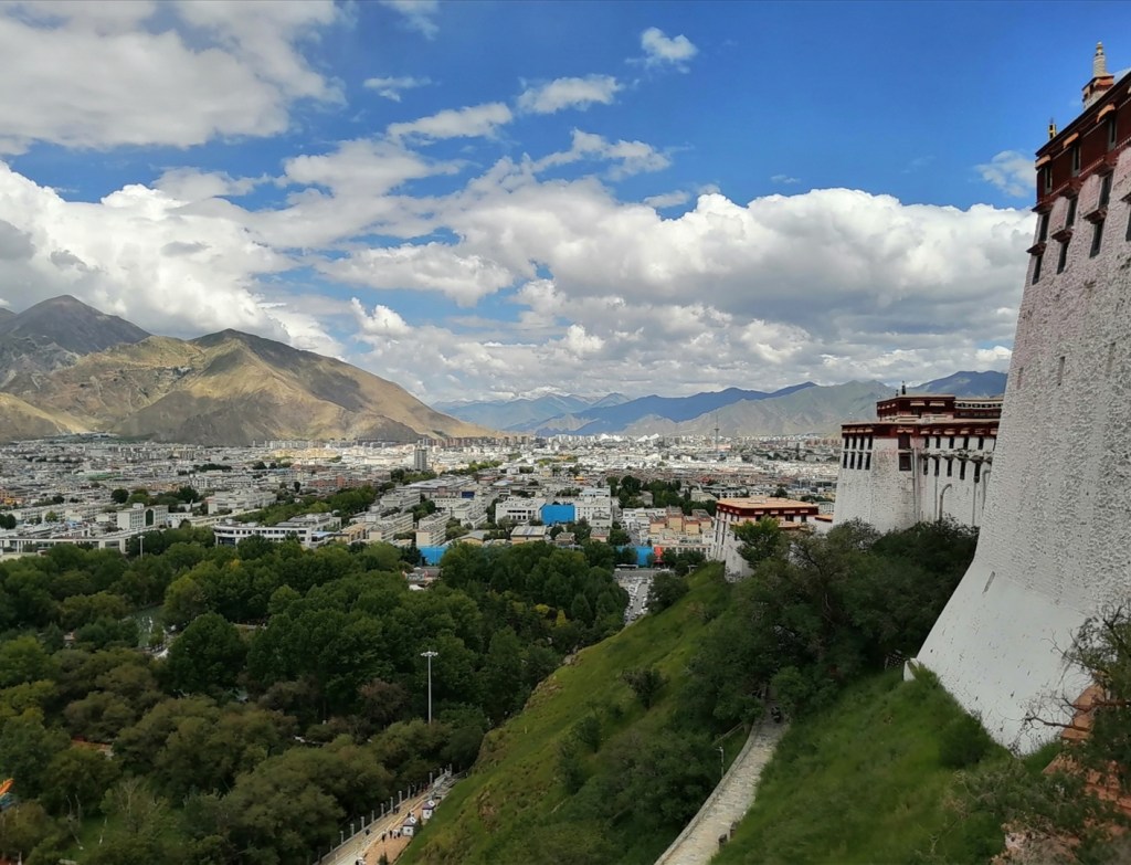
26th August: day off in Lhasa! We have a lazy morning (breakfast at 9am). It is crazy to feel totally fine at 3600 m elevation. We say goodbye to Gao Yan, and Xinhang takes us on a sightseeing / shopping tour in the morning. The boys then go to KFC (they were doing so well until now!) while I just have light snacks at the hotel. I do a bit of work, and then it is Xiao Bai’s turn to take us on an extraordinary visit of the Potala Palace, a monumental site with important historical significance: thank you for getting tickets for us, as well as arranging a lovely Tibetan guide, Lapa, to take us on the tour! The day ends with an unforgettable dinner with the whole team, featuring many toasts, singing in Tibetan (with the drivers), Chinese and English, dancing and games! A wonderful conclusion to a wonderful trip! Photos are not amazing are they are screenshots of videos, but they should give you an idea of the vibe…


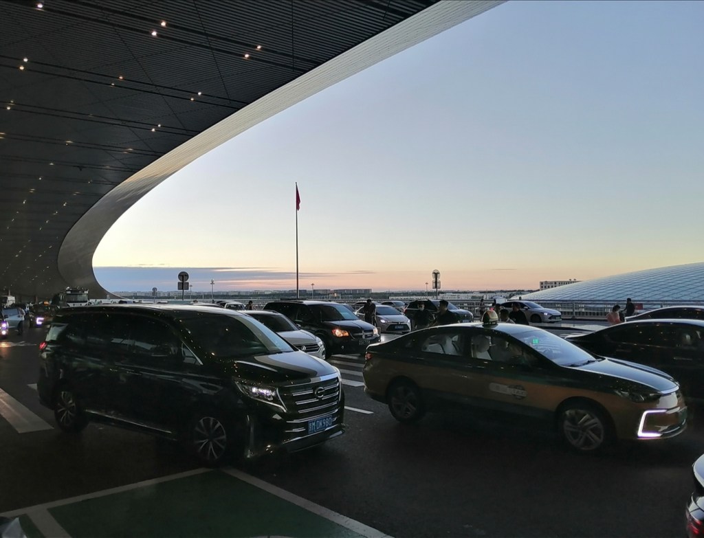
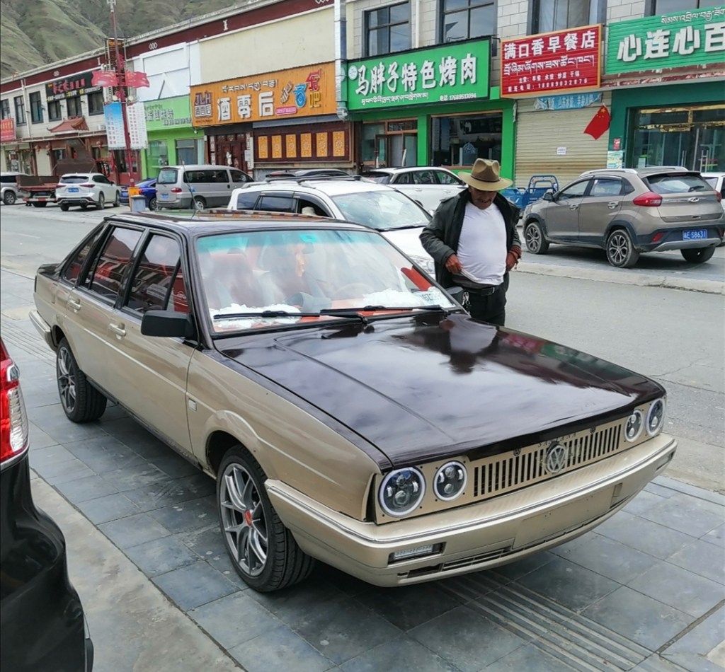
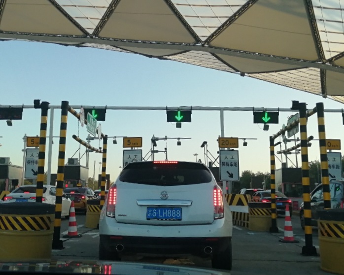
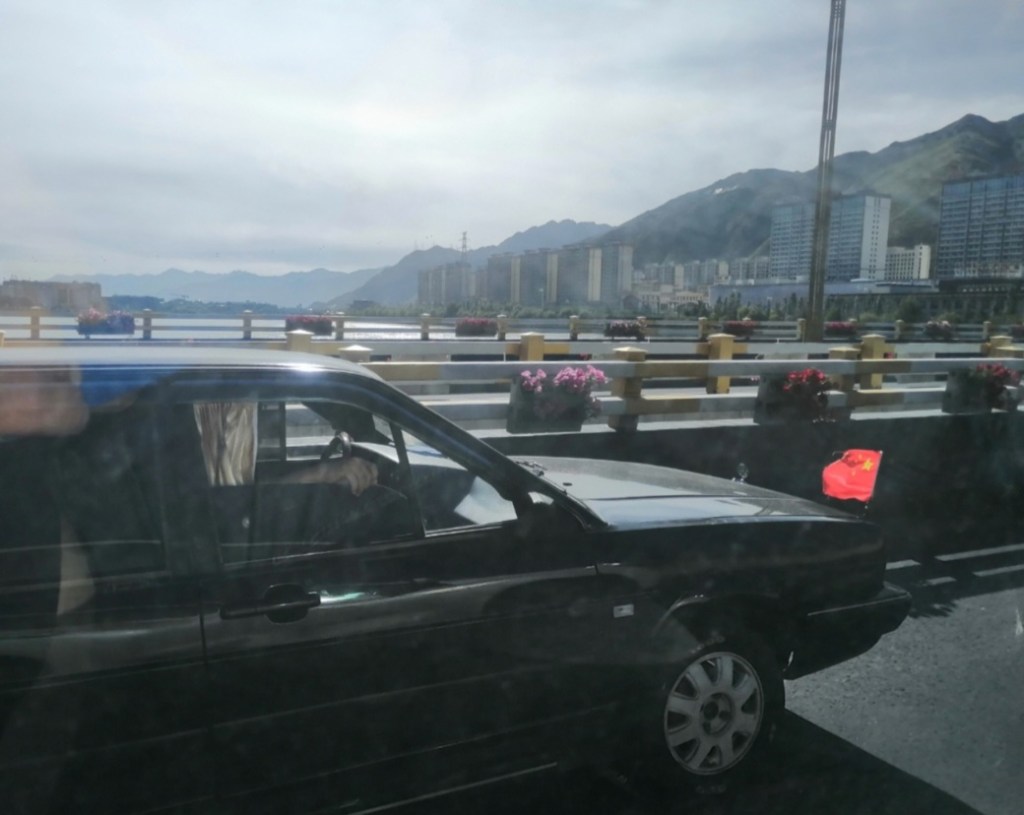
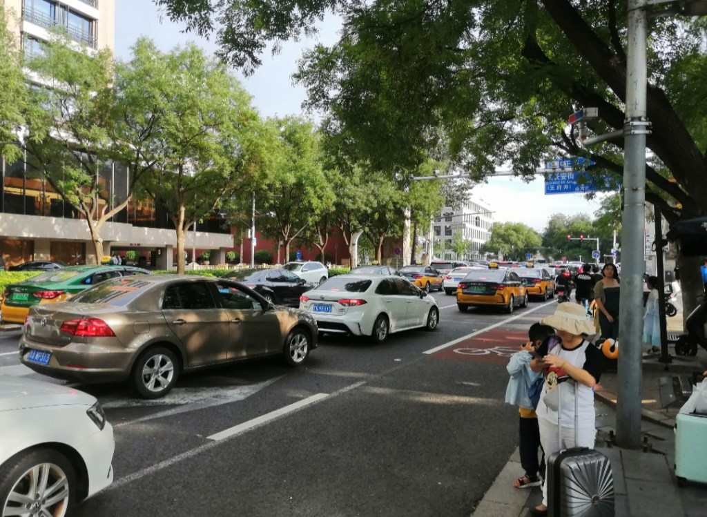
27th August: travel back from Lhasa to Beijing. Travel is trouble-free and takes the whole day. Not many pictures today, everyone is exhausted. I can’t help but reflect on contradictory elements of traffic: a patriotic Volkswagen, and how some of the most popular American cars here are from brands that reflect the American dream (Cadillac, Lincoln). It seems that while China has a very clear political line, it chose to be open to foreign economic elements that bring benefits to the country, rather than isolation. Maybe one of the reasons it learnt so quickly, and is now running ahead in automotive design and technology (in the electric vehicle sector in particular).


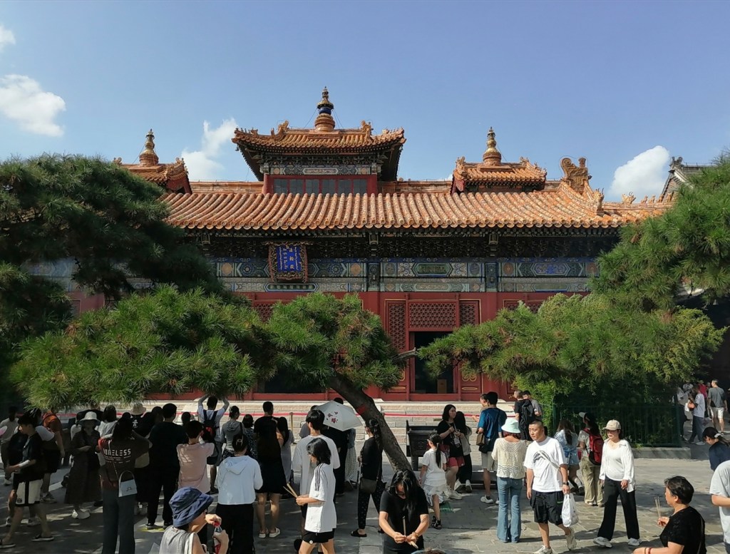
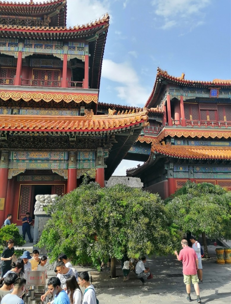
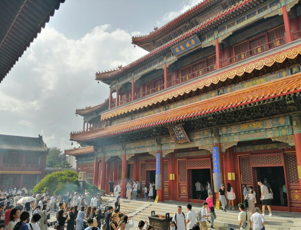
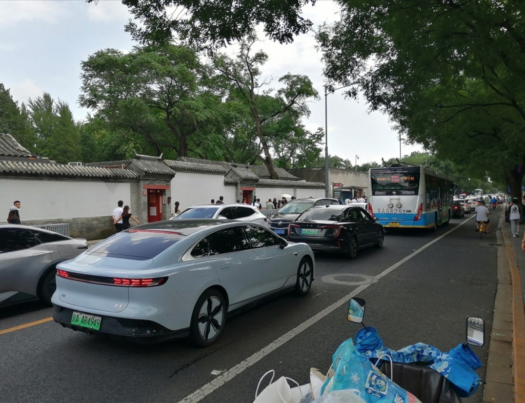
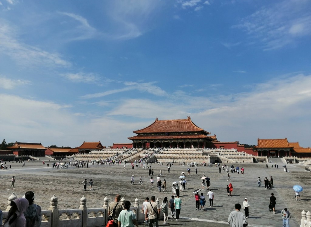
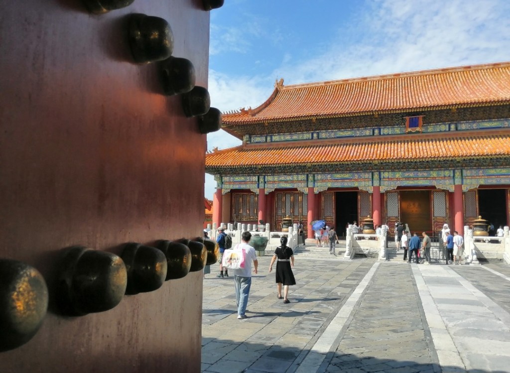
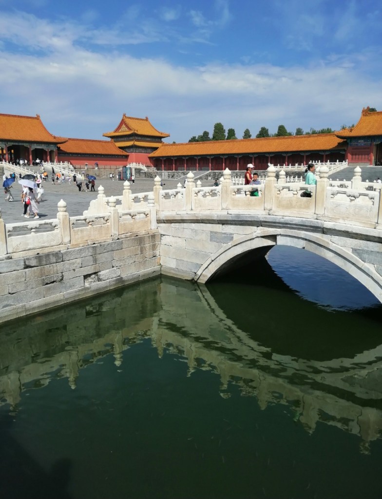
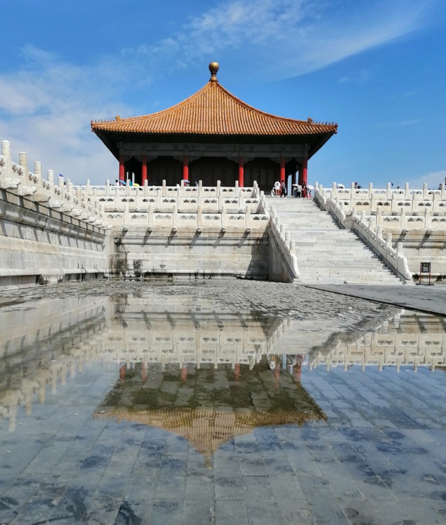
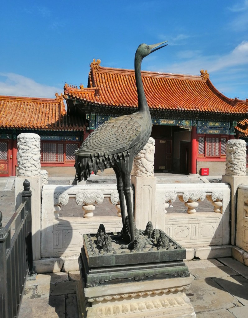
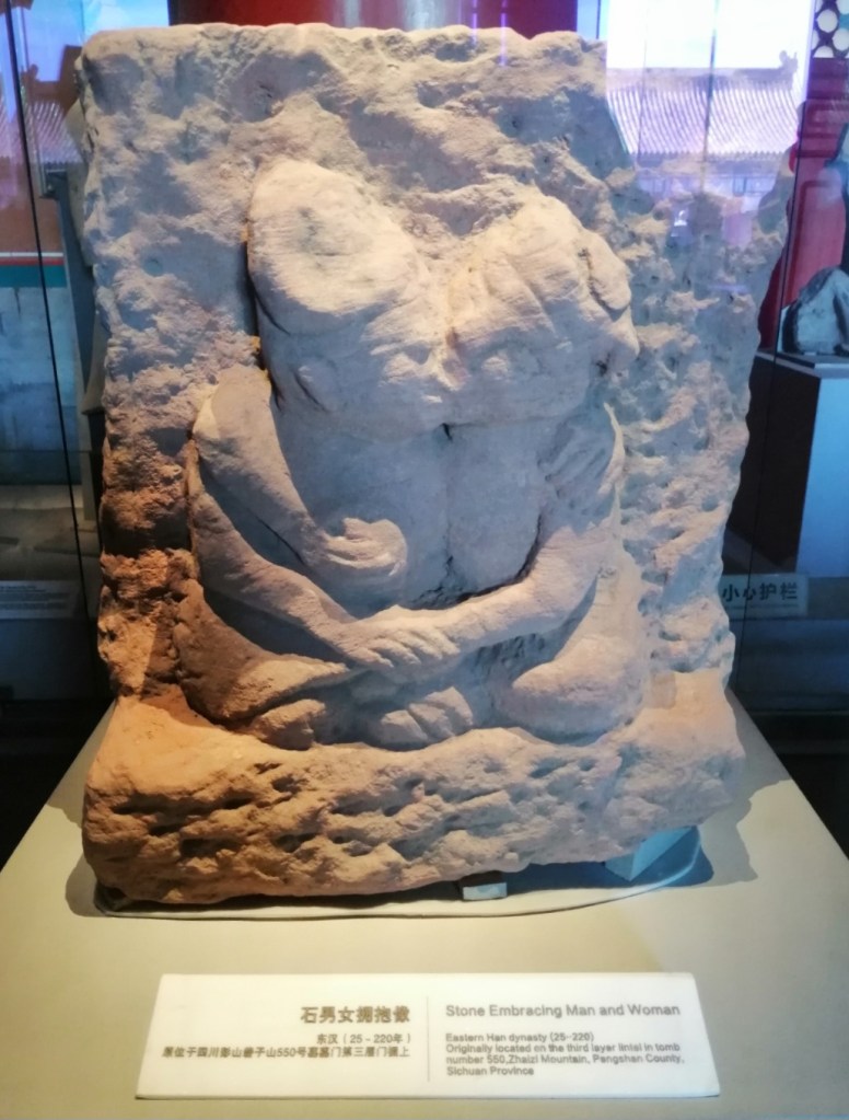
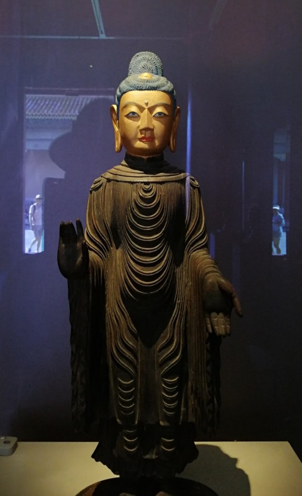
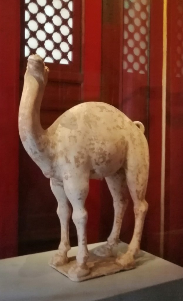
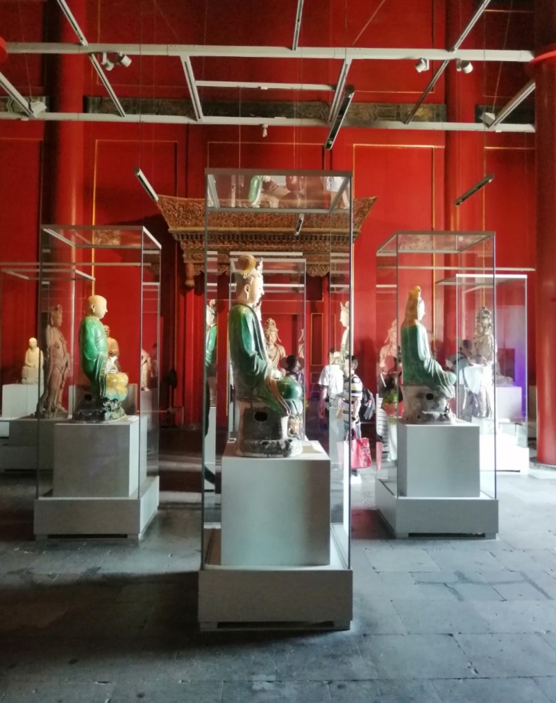
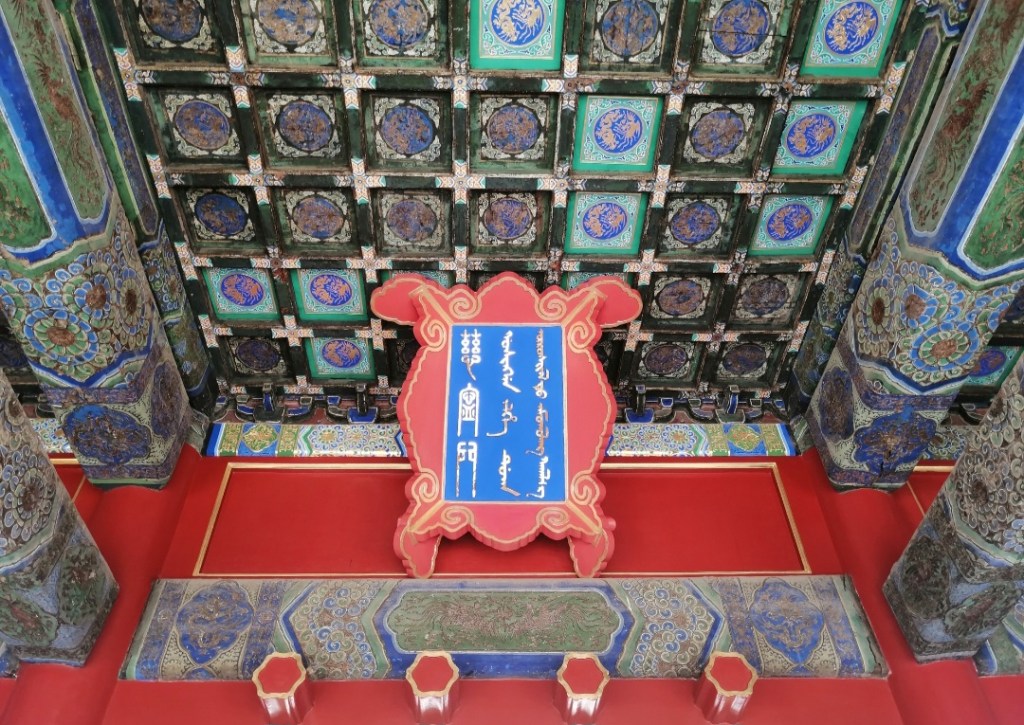
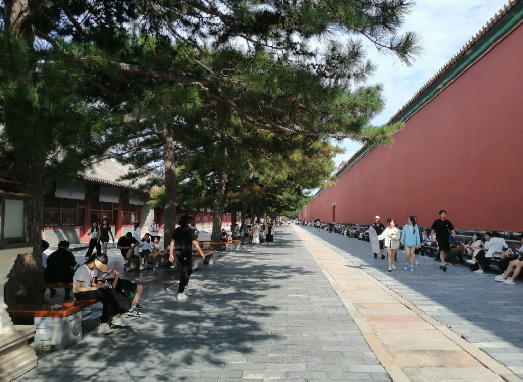
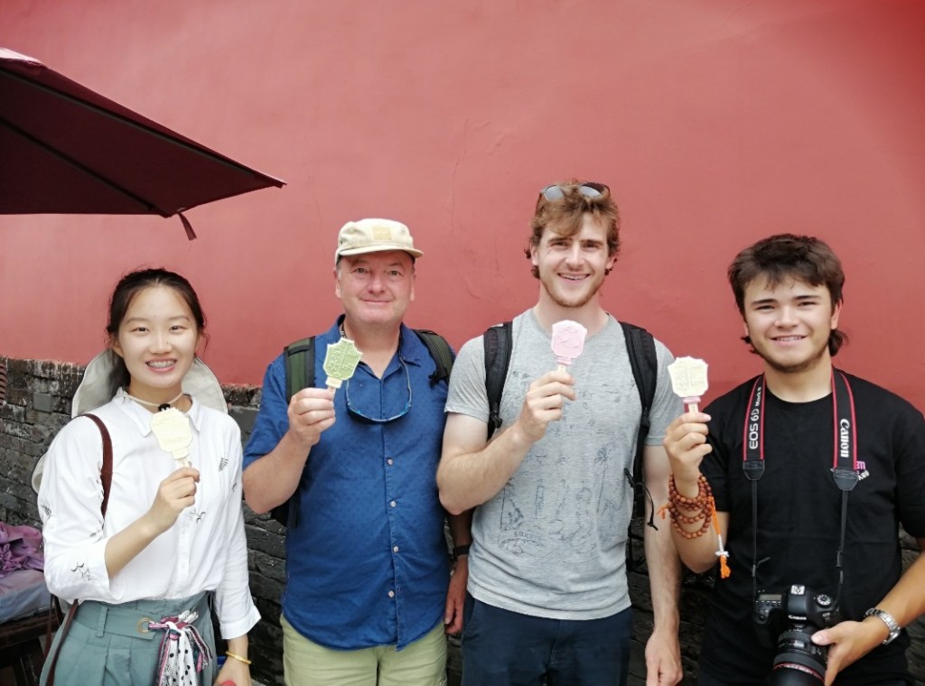
28th August: it was weird to have a room to myself – where is my roomate? Who can I speak French to? Eliot apparently feels the same, which is quite reassuring. He probably enjoyed having a lie in though, as there is no rest for me, or Xinhang! Xinhang kindly picks me up at 8 to the Institute of Geology at the State Key Laboratory of Earthquake Dynamics, where I am scheduled to give a seminar. It is lovely to see Huiping Zhang and Yifei Li who were in Edinburgh a couple of months ago. The talk (on the journey of sediment grains, from source to sink) goes very well and is followed by a nice discussion session, visit of the amazing new labs (chemistry + Optically Stimulated Luminescence), and a delicious lunch. Xinhang then “transfers” me to Xiao Bai who is taking Hugh, Eliot, Darwin and I to a visit of the Forbidden City! The city is so hot, that is quite a contrast with Tibet, but I enjoy the oxygen. The Forbidden City is extraordinary. As millions of tourists descend to the site, it is easy to forget that it used to be forbidden. Only a few selects were allowed in, and I can’t help thinking about how they must have been wowed when they penetrated this space. Interestingly, there are very few trees, and apparently there were even fewer: “spies and assassins can hide behind trees”. The walk is exhausting, due to the heat and the shear size of the place. We end the visit with a walk along a shaded alley where shops sell all sorts of beautiful art works (many related to tea), and ice creams! We drive through Tiananmen Square and the business district on the way back to the hotel. Xiao Bai then helps me collect the 15 model cars that she helped me order online for my collection (thank you Xiao Bai). Then it is shower and packing time. Zhongpeng takes us to the airport two batches: Eliot and I, then Hugh and Darwin. We get to say goodbye to our wonderful hosts/colleagues, and travel all back home safely. What an adventure, and hopefully something that leads to future collaborations. We certainly have a lot to think about!


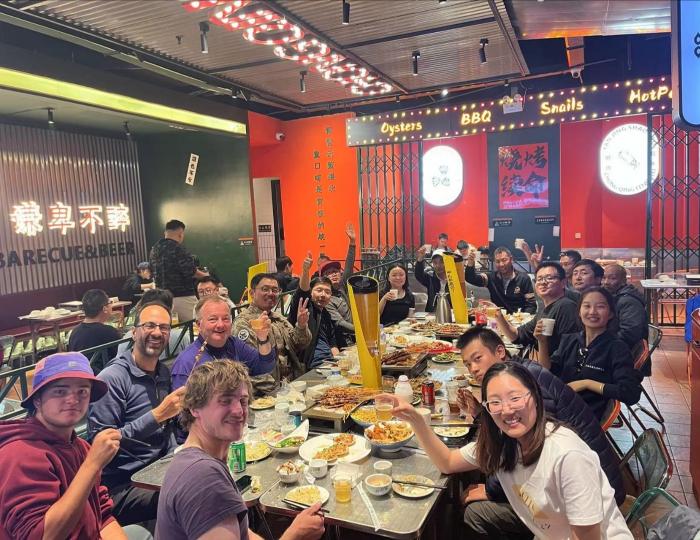
I am hoping to get pictures of the whole team below. Please be patient as I collect the pictures and check the names’ spelling!